Parking
Park at Little River Trailhead by Elkmont. Follow Little River Trail 3.7 miles to the Goshen Prong junction; the route then runs one way to Double Spring Gap on the AT. Arrange a through-hike pickup or plan to retrace the full route.
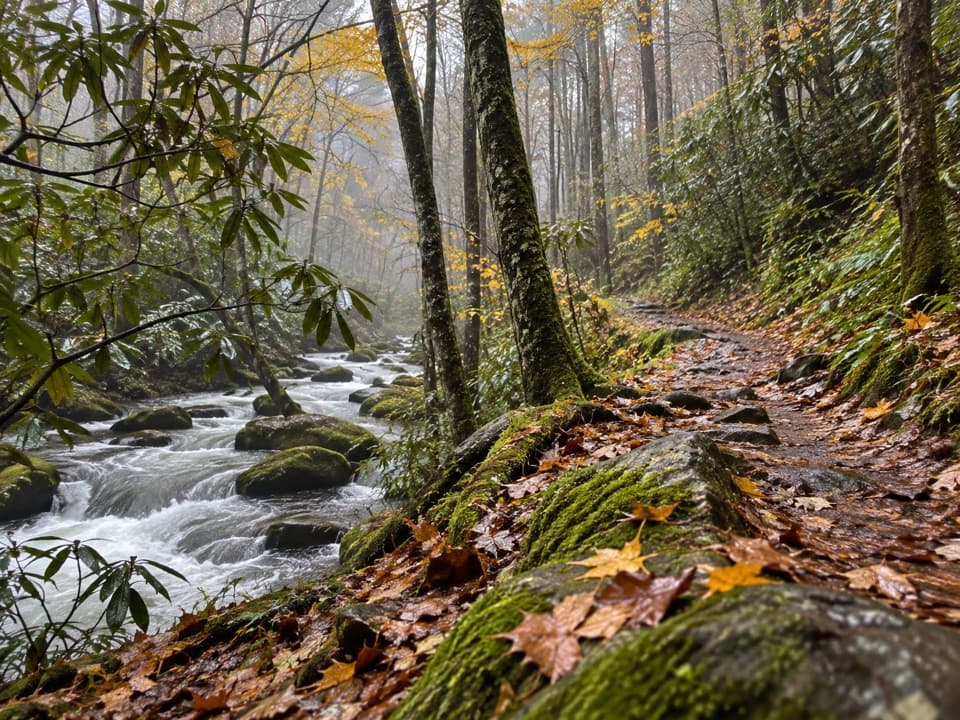
Great Smoky Mountains National Park, TN · NC
Old logging grades lead from creekside Elkmont to a rocky AT finish.
Overview
Goshen Prong is an 11.15-mile, one-way backcountry route from Little River Trailhead near Elkmont to the Appalachian Trail at Double Spring Gap. The first 3.7 miles follow Little River Trail to the Goshen Prong junction; the named trail then climbs 7.45 miles to the AT. Allow about nine hours to the gap. The route rises roughly 3,500 feet overall, so this is a hard, full-day outing. Plan a through-hike pickup in advance. Turning around at Double Spring Gap makes the Elkmont trip about 22.3 miles.
 Parkwolf’s verdictIs this the hike for you?
Map & elevation
Plan your hike

The highest, rockiest slopes around here are a summer buffet for grizzly bears.
Great Smoky Mountains Tour Guide
Parkwolf is a GPS audio tour guide for Great Smoky Mountains National Park. As you drive, it chimes in with what’s ahead: hidden gems, upcoming stops, history, geology, and wildlife, right through your car’s speakers.
See the Great Smoky Mountains audio tourRecorded for this trailhead
Elkmont Historic District and Daisy Town“You're nearing Elkmont Historic District, where Daisy Town's restored summer cabins make an easy history stop. Look inside the restored cabins; the interiors give this former resort community its character.”
Plays as you drive up to this trailhead in the Parkwolf Great Smoky Mountains Tour Guide.
More stories near here in the app
“Fantastic app with many points of information… It’s great to just turn on while you’re driving and it gives you an audio tour of the national Park. We love it!!!!”


Trail guide
Park at Little River Trailhead and follow Little River Trail into the backcountry. The route begins on a broad former logging grade and crosses Little River on an iron bridge. At the Goshen Prong junction, leave Little River Trail and follow the named trail south to its signed meeting with the AT at Double Spring Gap. That is a ridge junction, not a road. Kuwohi is about 1.9 miles east on the AT if you are arranging a pickup there; count that extra stretch and check road access before you commit.
About a mile into Goshen Prong, you reach creek cascades and two waterfalls. The footing then gets rockier and can be muddy before easing among American beech trees and fern fields. Campsite 23 is a short spur, about 100 yards off the trail. Several more creek crossings come higher up, so wet ground can slow the route.
The trail threads through rhododendron, drops to pools on Goshen Prong, and passes a cave before the final mile. That last stretch is rocky as it climbs to the AT junction, where the sign and white blazes make the connection clear. There is no loop here: the AT continues in both directions, so know which way your ride or overnight plan lies before you set out.
The old railroad grades and stone walls are reminders of the logging that happened before this became a national park. Ferns and mosses fill the damp sections, and wildflowers are a seasonal feature in spring and early summer.
Dogs are not allowed on this backcountry trail. If you plan to stay at campsite 23, Great Smoky Mountains National Park requires a backcountry permit and advance reservation.
Wildlife
 1,566 sightingsBlack BearMost seen around 7 PMSighting map
 899 sightingsElkMost seen around 7 AMSighting map
 13 sightingsBald EagleMost seen around 9 AMSighting map
 142 sightingsTimber RattlesnakeMost seen around 6 PMSighting map
 26 sightingsBobcatMost seen around 8 PMSighting map
 42 sightingsRiver OtterMost seen around 7 AMSighting map
Sighting maps show where each species has been reported across Great Smoky Mountains. Wildlife moves, so no sighting is guaranteed.
Keep exploring
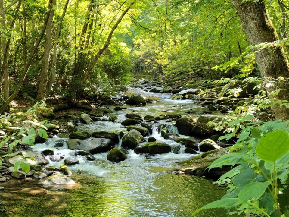 ModerateLittle River, Cucumber Gap, Jakes Creek Loop5.5 mi · 3 hr · At the trailheadRiver views, wildflowers, and Elkmont history on a varied loop.
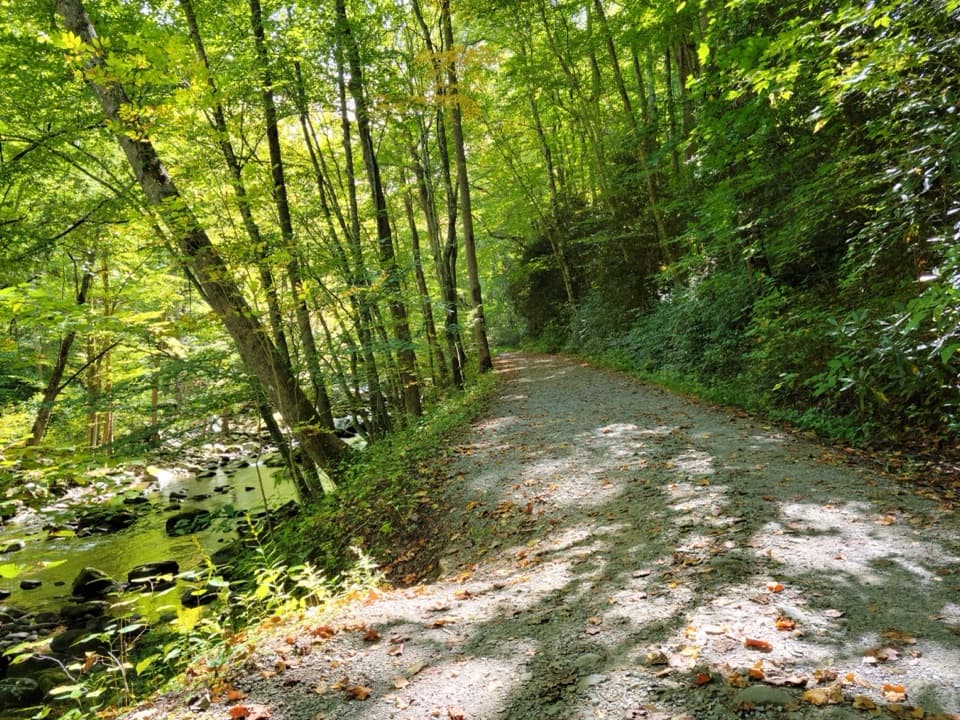 ModerateLittle River Trail12.4 mi · 7 hr · At the trailheadFollow the old rail grade beside the river to Campsite 30.
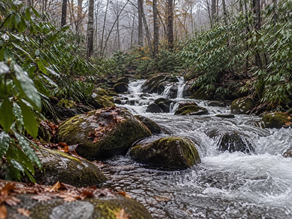 ChallengingJakes Creek Trail7.2 mi · 6 hr · 0.1 mi awayA long climb from Elkmont’s old cottages to Jakes Gap.
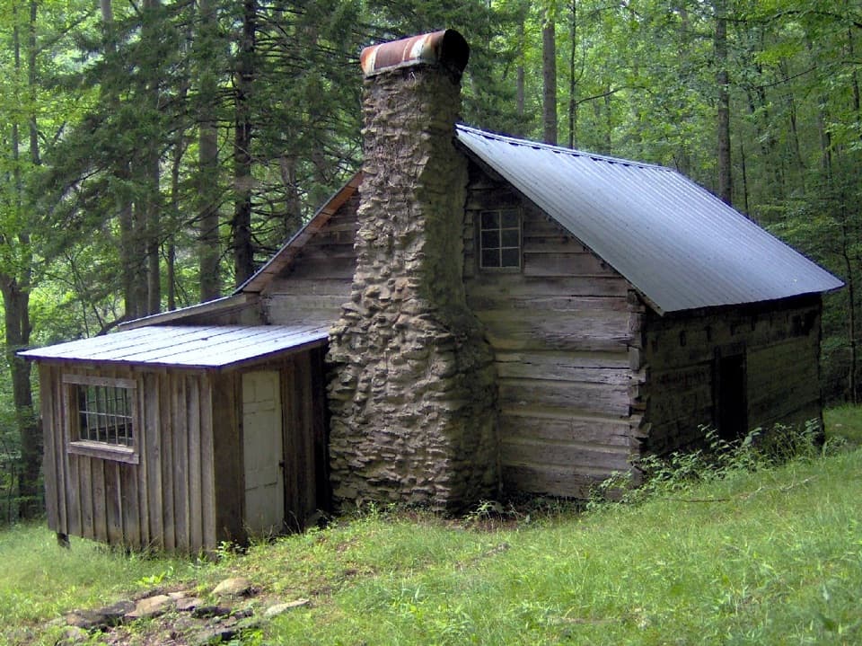 ModerateAvent Cabin Trail2.6 mi · 1.8 hr · 0.1 mi awayA 2.6-mile out-and-back to Mayna Treanor Avent’s cabin studio.
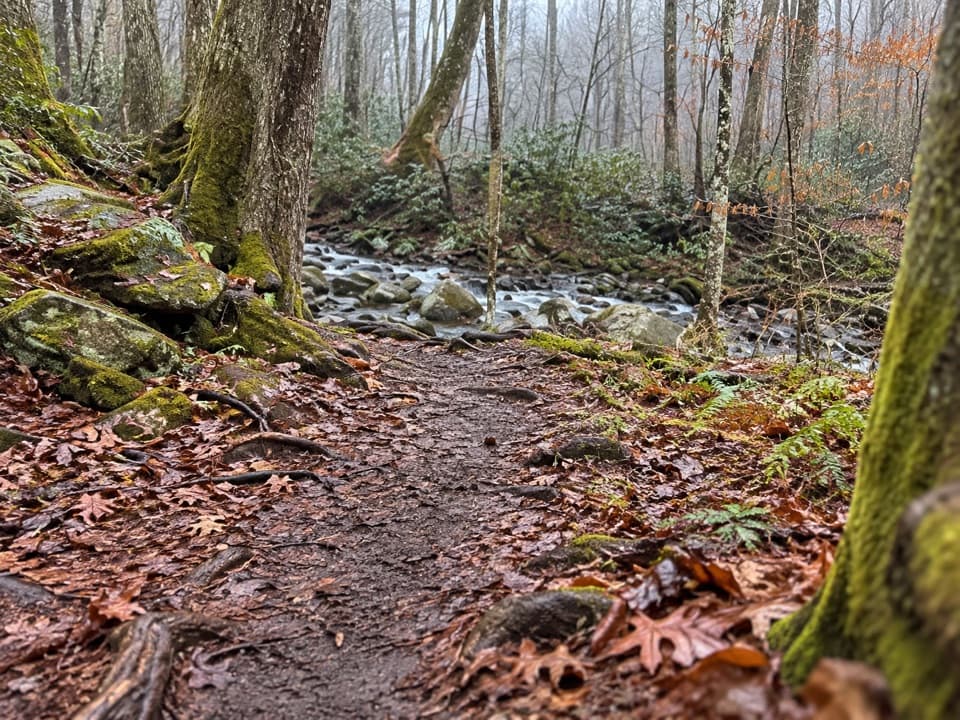 EasyElkmont Nature Trail0.7 mi · 30 min · 0.3 mi awayA short, easy loop with two bridges over Mids Branch.
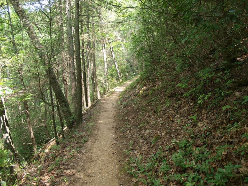 ModerateMeigs Mountain Trail6 mi · 3.5 hr · 0.7 mi awayA quiet backcountry traverse with a waterfall on the Elkmont approach.
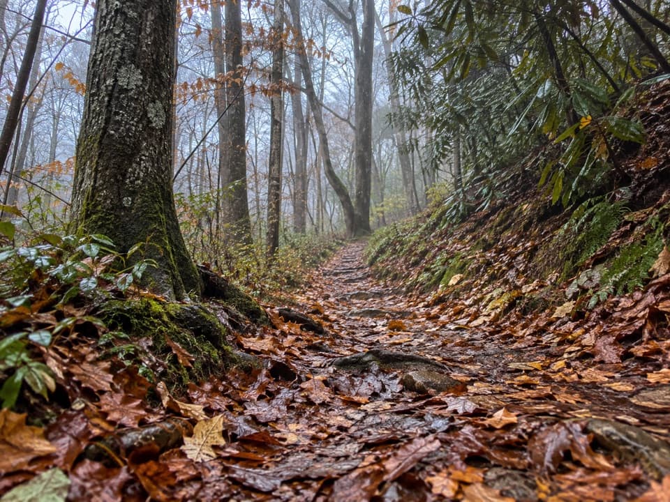 EasyLaurel Falls Quiet Walkway0.4 mi · 18 min · 1.2 mi awayA short dirt loop follows Laurel Branch through quiet forest
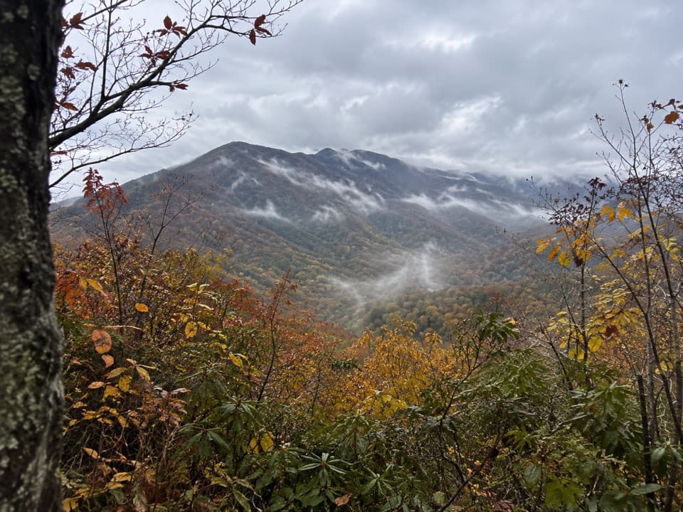 ChallengingSugarland Mountain Trail11.9 mi · 8 hr · 1.3 mi awayA long ridge walk with a winter view toward Gatlinburg.
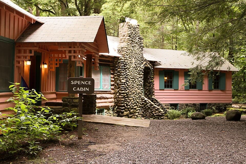 Sight · 0.1 mi awaySpence CabinA restored 1928 cabin from Elkmont’s resort summers.
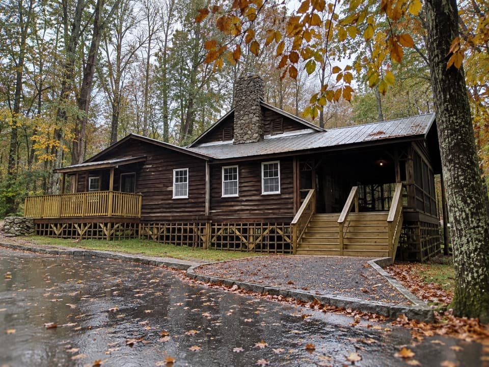 Sight · 0.1 mi awayDaisy TownA preserved summer settlement, with cabins you can explore inside.
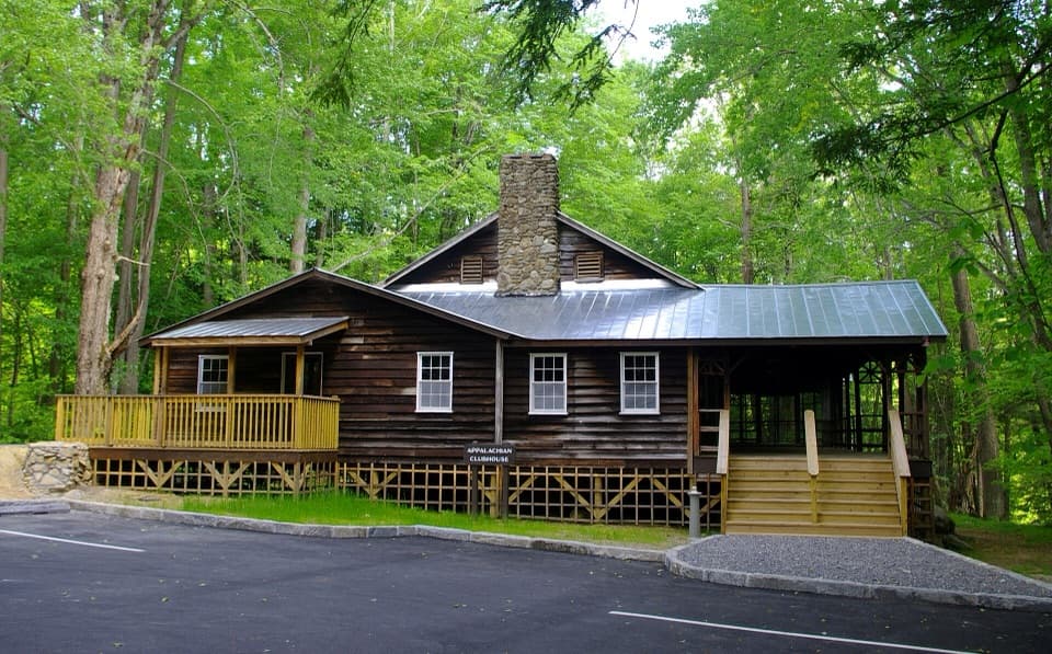 Sight · 0.1 mi awayAppalachian ClubhouseA restored clubhouse from Elkmont’s cabin-era summer community.
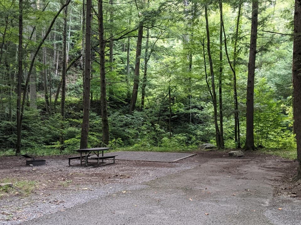 Campground · 0.4 mi awayElkmont CampgroundWooded camping, creekside sites, and a road on an old rail bed
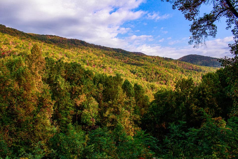 Scenic pullout · 1.4 mi awayMaloney PointA quick Little River Road stop for layered ridges and spring trillium.
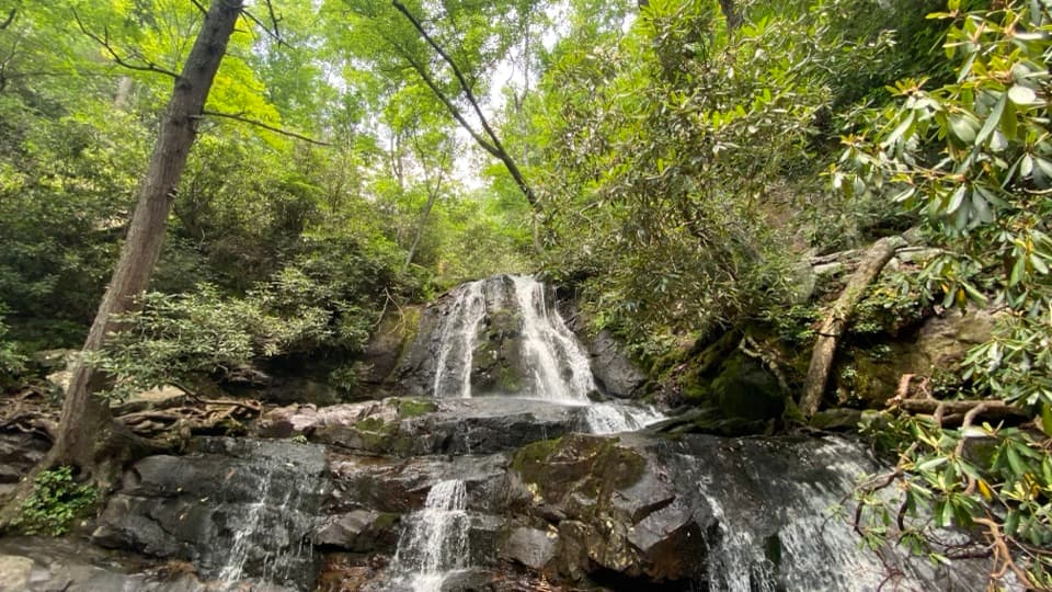 Sight · 1.8 mi awayLaurel FallsA two-tier waterfall rewards a popular 2.6-mile forest walk.
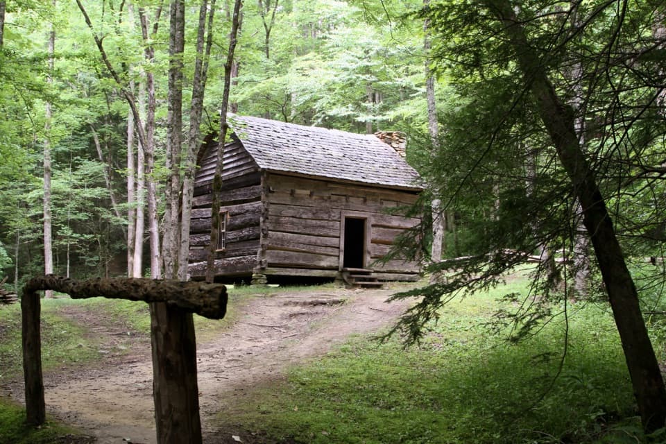 Sight · 2.9 mi awayJohn Ownby CabinA short wooded walk to Sugarlands' last standing home.
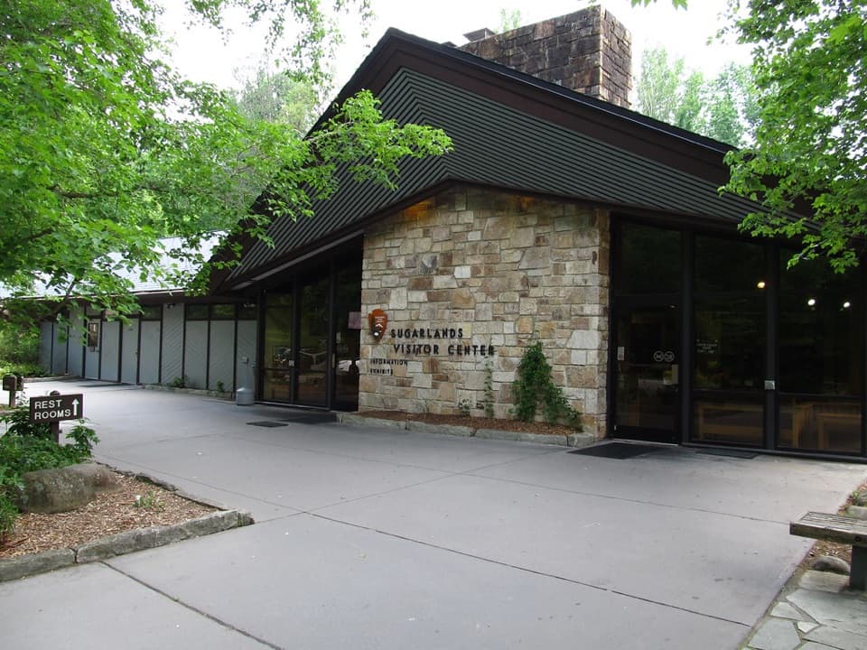 Visitor center · 3.3 mi awaySugarlands Visitor CenterGet your bearings with a bear exhibit, ranger advice, and trail map.
Parkwolf’s Great Smoky Mountains ranking
The audio tour guide for the drive, plus offline maps, trails, and wildlife heatmaps for when the signal drops.





