Pros & cons
PROS
- Big Smokies views from an easy roadside stop
- Good sunrise vantage
CONS
- No restrooms or water
- Parking fills quickly on busy days
Overview
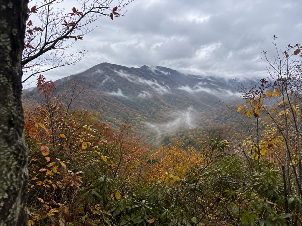
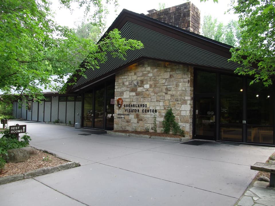
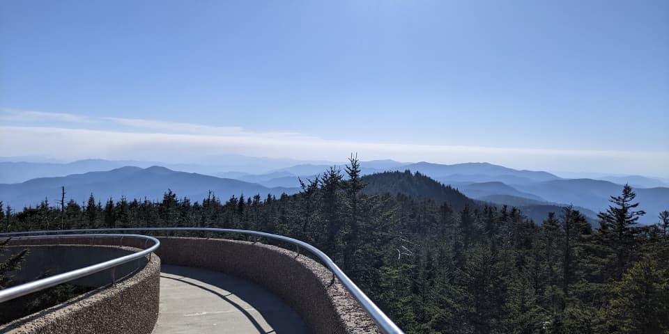
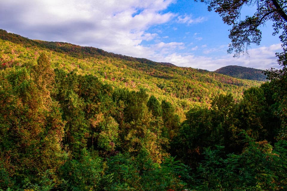
Maloney Point Overlook is a simple, signed pullout along Little River Road, just west of Sugarlands Visitor Center. It’s a pause-the-car kind of spot: roll in, step out, and you’re looking across classic blue ridgelines of the Smokies.
What You'll See
Expect wide, layered mountain views that really shine at first light. Visitors often note memorable sunrises here and occasional wildlife sightings in the area, including black bears. Give wildlife plenty of space and keep food secured.
How to Use It
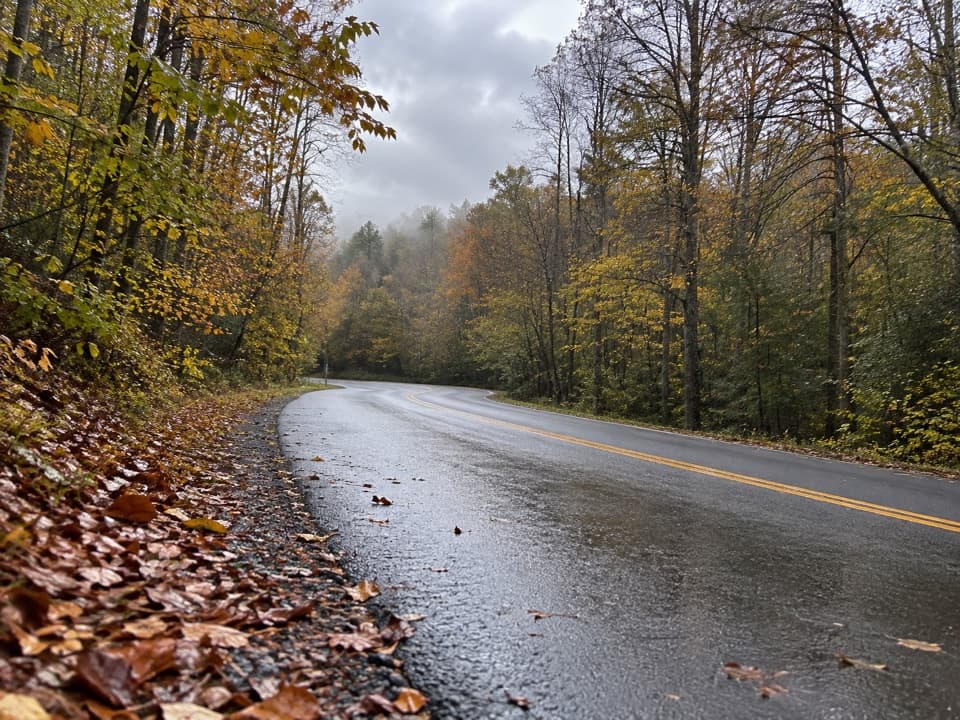
Think of Maloney Point as a scenic stop and a pressure valve for the busy Little River corridor. There are several small pullouts in this stretch, and they can double as overflow parking when nearby trailheads are slammed. It is not a developed facility—no services—so plan bathroom and water stops at visitor centers, picnic areas, or campgrounds.
Current Notes
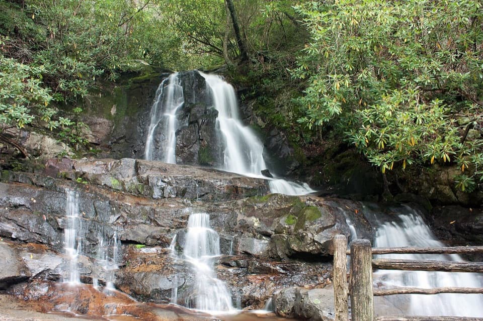
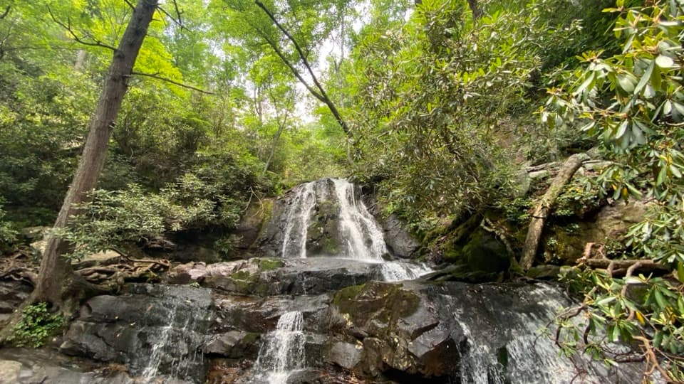
Recent visitor reports have mentioned periodic road disruptions in the park and that the Laurel Falls trail is closed for maintenance until fall 2026. Conditions change—check same-day park alerts before you go. If Little River Road is packed, the Tremont area is a good quieter alternative.
Logistics
- Parking tag required if you’re parked more than 15 minutes anywhere in the park.
- Cell service is spotty in this corridor; don’t count on it.
- Nearby facilities: Metcalf Bottoms Picnic Area (along Little River Road) has restrooms.
Weddings and Small Gatherings
The National Park Service allows small ceremonies here with a Special Use Permit. Outdoor locations have limits (generally up to 25 people, one hour, and six vehicles). Permits don’t include services—you handle all logistics.
Best Time to Visit
Sunrise is the sweet spot for light and lighter traffic. On busy weekends and holidays, arrive early or come late in the day. Weekdays are calmer year-round. Always have a Plan B if the pullouts are full.
Wildlife & Etiquette
Black bears are common in the Smokies—even near popular pullouts. Keep your distance, never feed wildlife, back away if you encounter a bear, and pack out every scrap of trash to keep this roadside viewpoint pristine.
Where it is
35.6746, -83.5738Tips for Maloney Point
- 01Arrive at sunrise for the best light and a better shot at parking.
- 02Carry water and plan restroom stops at developed areas like picnic sites or visitor centers.
- 03You need a valid parking tag if you’ll be stopped more than 15 minutes.
- 04Check park alerts the morning of your visit; Laurel Falls is closed until fall 2026.
- 05If Little River Road is slammed, pivot to the Tremont area for a quieter plan B.
Amenities
Near Maloney Point
All places →All trails →
0.4 mi awaySugarland Mountain TrailQuiet ridge run from Gatlinburg to the AT with spruce fir vibesChallenging · 11.9 mi · 6.2 hr
1.1 mi awayElkmont CampgroundBig riverside campground with trailheads and spring firefly magicCampground · Restroom
1.2 mi awayWonderland Hotel SiteEvocative Elkmont ruins where a beloved 1912 hotel once stood
1.2 mi awayElkmont Nature TrailEasy 0.8-mile loop with creek crossing, rhododendron, and spring bloomsEasy · 0.8 mi · 20 min
1.3 mi awayElkmont Group CampgroundTent-only group sites with flush toilets beside Little RiverCampground · Restroom
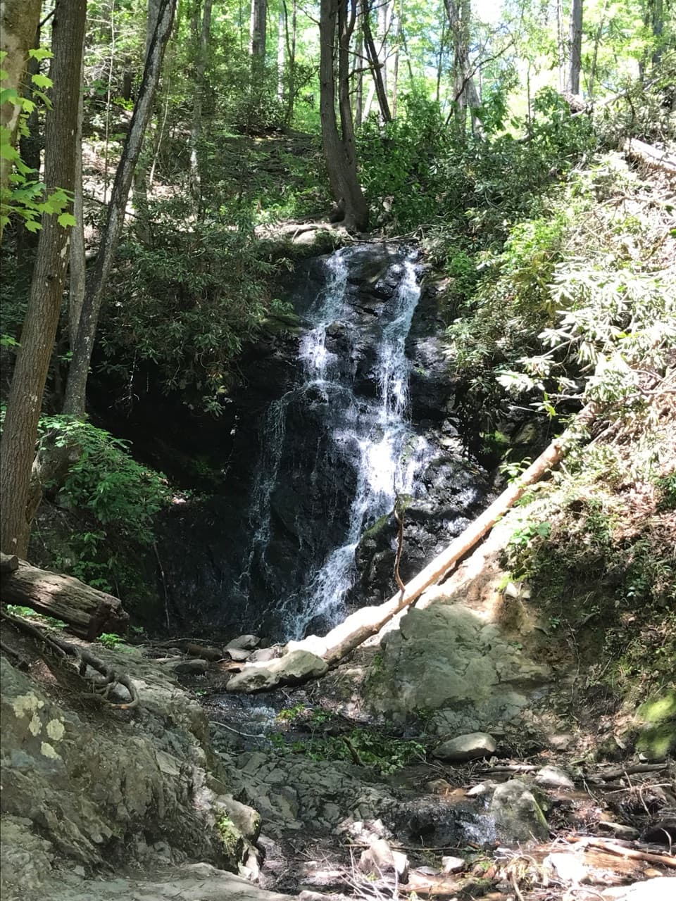
1.4 mi awayLaurel Falls TrailPaved climb to an 80 foot, photogenic Smokies waterfallEasy · 2.6 mi · 1.8 hr
1.4 mi awayCove Mountain TrailForest climb above Laurel Falls to a closed 1935 fire tower.Moderate · 7.7 mi · 5.5 hr
1.4 mi awayLaurel FallsShort, popular hike to a photogenic 80-foot waterfallTrailhead · Parking