Rich Mountain Trail in Great Smoky Mountains National Park

Great Smoky Mountains National Park, TN · NC

Rich Mountain Trail

A steep climb to a shaded cove and a small cascade.

Length
4.6mi
Time
4hr
Elev. change
1,585ft
Difficulty
Challenging
  • No dogs
  • High point 3,579 ft

Hear the audio tour

The Younger Rocks Under Cades Cove

Overview

About Rich Mountain Trail

Why go

  • A small Hesse Creek cascade and shaded cove reward the climb.

Heads up

  • Steep, sustained climbing and repeated rock-hop crossings near the end.

Map & elevation

The route

Loading the Great Smoky Mountains map
Full map
Elevation1,995–3,579 ft
TrailheadRich Mountain Road Trailhead35.64466, -83.80522
Keep this map with you offline in the Parkwolf app

Plan your hike

Before you go

Parking

Use the roadside Rich Mountain Road Parking Area, about 500 feet along the road from the mapped trail junction. Rich Mountain Road is one-way and scheduled open April 10–November 9; high-clearance vehicles are recommended, and motorhomes, buses, vans over 25 feet, and vehicles towing trailers are prohibited.

Safety

The route gains about 1,550 feet over 2.29 miles, then descends the same steep trail. The final quarter mile crosses Hesse Creek repeatedly over rocks; vehicle access is seasonal.

7 active Great Smoky Mountains alerts

  • ClosureHurricane Helene backcountry trail closures and hazardsHurricane Helene damage has closed backcountry trails and left hazardous crossings; avoid closed routes and heed trail-specific restrictions.Official details
  • CautionBear-related trail, road, shelter, and campsite restrictionsBear activity has closed trails, a shelter, and campsites and restricted pedestrian access on Cherokee Orchard Road; follow the vehicle restrictions and avoid closed areas.Official details
See all 7 alerts
A park ranger sits on a dash-mounted phone, talking, as Parkwolf’s Tour Guide plays “Army Cutworm Moths: A Grizzly Bear Buffet” on Grand Loop Road below Dunraven Pass in Yellowstone
Parkwolf Tour GuideThe highest, rockiest slopes around here are a summer buffet for grizzly bears.

Great Smoky Mountains Tour Guide

Your drive to Rich Mountain Trail, narrated.

Parkwolf is a GPS audio tour guide for Great Smoky Mountains National Park. As you drive, it chimes in with what’s ahead: hidden gems, upcoming stops, history, geology, and wildlife, right through your car’s speakers.

See the Great Smoky Mountains audio tour

Recorded for this area

The Younger Rocks Under Cades Cove
0:00 / 0:32
“The rocks beneath Cades Cove are younger than the rocks in the mountains around it. During mountain building, a huge sheet of older rock was pushed over younger limestone.”

Plays on the road 0.1 mi from the trailhead in the Parkwolf Great Smoky Mountains Tour Guide.

More stories near here in the app

  • Before the Ball Is Thrown
  • Drumming on Air
  • Winter Meals Underground
  • Cades Cove Methodist Church
  • 188 audio storiesacross Great Smoky Mountains’s roads, triggered by GPS as you drive
  • Wildlife heatmapsfor Black Bear, Elk, Bald Eagle, and 13 more
  • Works offlinemaps, 197 trails, 100 places, and audio download before you lose signal
  • CarPlay readysimple controls built for the drive
★★★★★
“Fantastic app with many points of information… It’s great to just turn on while you’re driving and it gives you an audio tour of the national Park. We love it!!!!”
JMJamesApp Store review
Download Parkwolf on the App StoreGet Parkwolf on Google Play

4.7 from 8,600+ ratings

Trail guide

Hiking Rich Mountain Trail

A steep out-and-backRich Mountain Trail is a 4.

Rich Mountain Trail is a 4.6-mile out-and-back from Rich Mountain Road to backcountry Campsite 5 on Double Mountain. You walk the 2.29-mile trail in and back out the same way, gaining about 1,550 feet on the climb. Allow around four hours, with time for the creek crossings. The uphill starts right away, so this is for hikers who want a sustained climb and a shaded cove at the far end, not a quick stop. The 8.5-mile Rich Mountain Loop is a different outing that adds neighboring trails.

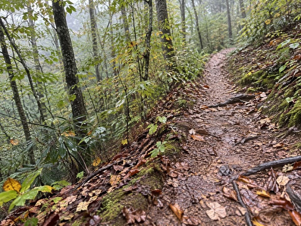
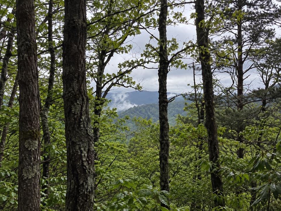
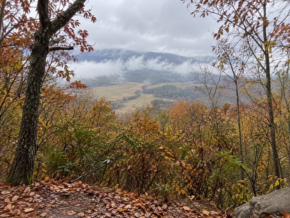
The climb and the viewsThe trail climbs through Christmas ferns and pine-oak forest, then follows a dry ridge.

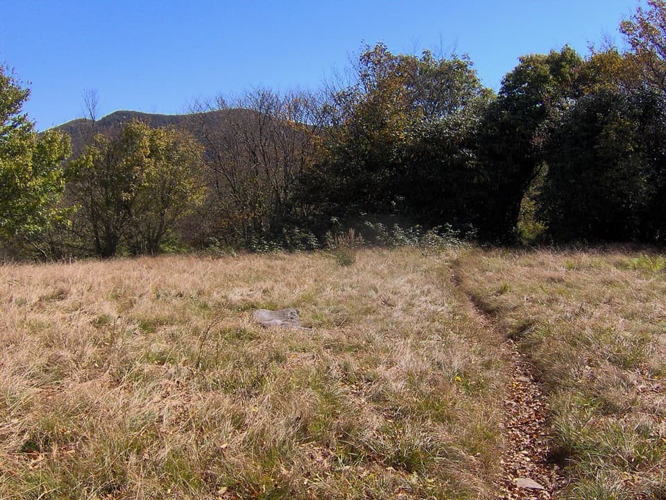
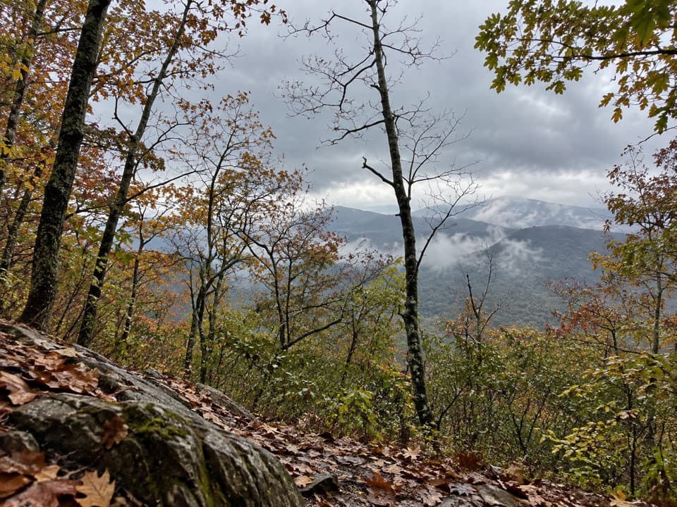
The trail climbs through Christmas ferns and pine-oak forest, then follows a dry ridge. Around 0.2 mile it leaves the road corridor. Some western views near 0.8 mile are partly blocked; at about 1.2 miles, the trail reaches the park boundary and opens to partial views toward Dry Valley.

Hesse Creek and Campsite 5At about 1.9 miles, the trail reaches Hesse Creek, with a small cascade below it.

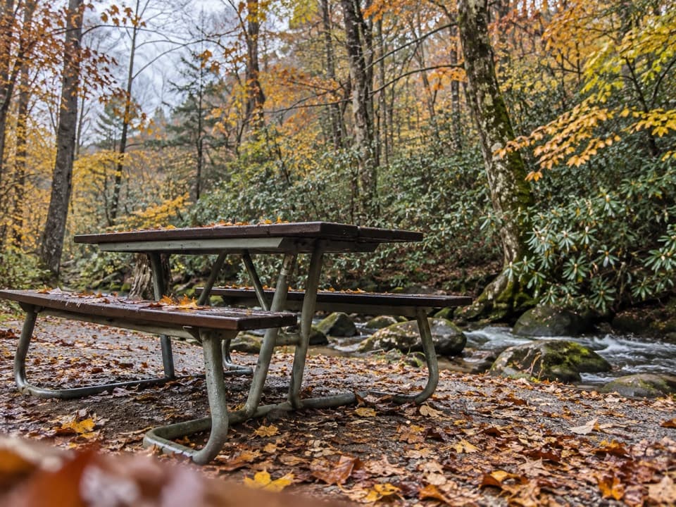
At about 1.9 miles, the trail reaches Hesse Creek, with a small cascade below it. The final quarter mile crosses the creek several times, so expect to pick your way over rocks. The upper cove is shaded, cool and damp. The trail ends at Campsite 5, a small backcountry site on Double Mountain; a signed spring is about 100 yards downhill, but its water treatment status is not established. Overnight camping requires an advance permit and reservation.

Access and rulesThe trail starts at Rich Mountain Road.

The trail starts at Rich Mountain Road. That road is one-way and seasonal, scheduled open April 10 through November 9; high-clearance vehicles are recommended, and long vehicles and passenger vehicles towing trailers are prohibited. Dogs are not allowed on this trail. Check current road and trail conditions before setting out.

Wildlife

Wildlife in Great Smoky Mountains

All Great Smoky Mountains wildlife maps

Sighting maps show where each species has been reported across Great Smoky Mountains. Wildlife moves, so no sighting is guaranteed.

Keep exploring

Near Rich Mountain Trail

See it all on the map

Trails that start nearby

Places near the trailhead

Parkwolf’s Great Smoky Mountains ranking

Top-rated trails in Great Smoky Mountains

All 197 trails
  1. 1Mount Le Conte via Alum Cave TrailChallenging · 10 mi
  2. 2Charlies Bunion via Appalachian TrailModerate · 8 mi
  3. 3Alum Cave Trail to Alum Cave BluffsModerate · 4.6 mi
  4. 4Ramsey Cascades TrailChallenging · 8 mi
  5. 5Mount Cammerer TrailChallenging · 11.1 mi
  6. 6Gregory Ridge TrailChallenging · 11.4 mi

Take Parkwolf to Great Smoky Mountains.

The audio tour guide for the drive, plus offline maps, trails, and wildlife heatmaps for when the signal drops.

4.7 from 8,600+ ratings

Download Parkwolf on the App StoreGet Parkwolf on Google Play