Scott Mountain Trail in Great Smoky Mountains National Park

Great Smoky Mountains National Park, TN · NC

Scott Mountain Trail

Rhododendron, a spring crossing, and old forest on a ridge connector.

Length
3.8mi
Time
2.5hr
Elev. change
1,289ft
Difficulty
Moderate
  • No dogs
  • High point 3,346 ft

Hear the audio tour

Cades Cove Picnic Area

Overview

About Scott Mountain Trail

Why go

  • Passes a spring and the Whiteoak Sink area.
  • A forested connector with rhododendron and a former power-line clearing.

Heads up

  • Point-to-point logistics require connector trails and a return plan.
  • Few broad views; this is not a summit hike.

Map & elevation

The route

Loading the Great Smoky Mountains map
Full map
Elevation2,057–3,346 ft
TrailheadCrooked Arm Ridge / Indian Grave Gap junction35.62074, -83.76800
Keep this map with you offline in the Parkwolf app

Plan your hike

Before you go

Parking

Reach the western Crooked Arm Ridge/Indian Grave Gap junction through the Cades Cove trail network; the other end meets Schoolhouse Gap/Chestnut Top near Laurel Creek Road. No exact legal lot or approach distance for this connector was verified. Confirm designated parking on the park map and arrange a pickup or return connection before setting out.

Safety

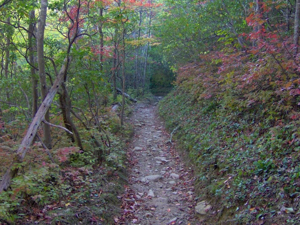
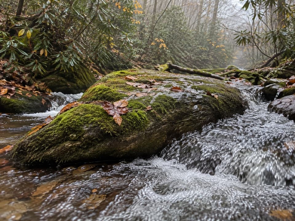
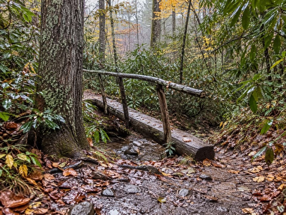
Narrow, uneven and sometimes eroded tread includes a small spring crossing that requires a rock-hop. Pets are prohibited on this trail.

7 active Great Smoky Mountains alerts

  • ClosureScott Mountain Trail partially closedMentions this trailScott Mountain Trail is closed between campsite 6 and Schoolhouse Gap; use another route for that section. - Campsite 6 remains open. Check current trail closures before hiking.Official details
  • ClosureHurricane Helene backcountry trail closures and hazardsHurricane Helene damage has closed backcountry trails and left hazardous crossings; avoid closed routes and heed trail-specific restrictions.Official details
See all 7 alerts
A park ranger sits on a dash-mounted phone, talking, as Parkwolf’s Tour Guide plays “Army Cutworm Moths: A Grizzly Bear Buffet” on Grand Loop Road below Dunraven Pass in Yellowstone
Parkwolf Tour GuideThe highest, rockiest slopes around here are a summer buffet for grizzly bears.

Great Smoky Mountains Tour Guide

Your drive to Scott Mountain Trail, narrated.

Parkwolf is a GPS audio tour guide for Great Smoky Mountains National Park. As you drive, it chimes in with what’s ahead: hidden gems, upcoming stops, history, geology, and wildlife, right through your car’s speakers.

See the Great Smoky Mountains audio tour

Recorded for this area

Cades Cove Picnic Area
0:00 / 0:28
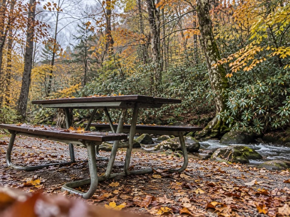
“Ahead is Cades Cove Picnic Area, at the entrance to the one-way loop road. I'd use it for a lunch break under the trees, with tables between Abrams Creek and Green Branch Creek.”

Plays on the road 1.1 mi from the trailhead in the Parkwolf Great Smoky Mountains Tour Guide.

More stories near here in the app

  • Rich Mountain Loop Trailhead
  • Cades Cove Campground Store and Riding Stables
  • Lead Cove and Finley Cane Trailheads
  • A Mayfly's Longer Life
  • 188 audio storiesacross Great Smoky Mountains’s roads, triggered by GPS as you drive
  • Wildlife heatmapsfor Black Bear, Elk, Bald Eagle, and 13 more
  • Works offlinemaps, 197 trails, 100 places, and audio download before you lose signal
  • CarPlay readysimple controls built for the drive
★★★★★
“Fantastic app with many points of information… It’s great to just turn on while you’re driving and it gives you an audio tour of the national Park. We love it!!!!”
JMJamesApp Store review
Download Parkwolf on the App StoreGet Parkwolf on Google Play

4.7 from 8,600+ ratings

Trail guide

Hiking Scott Mountain Trail

A connector, not a loopScott Mountain Trail is a 3.

Scott Mountain Trail is a 3.76-mile, one-way connector between the Crooked Arm Ridge/Indian Grave Gap junction and the Schoolhouse Gap/Chestnut Top junction. It crosses a wooded ridge, a former power-line clearing and rhododendron, then drops past Campsite 6 and a small spring toward Whiteoak Sink. Allow about 2.5 hours for the named segment alone; the approach from Cades Cove and a ride or return connection add time. It makes the most sense as part of a longer hike, not as a short walk from a car park. Dogs are not allowed on this trail.

What the walk feels likeWest to east, the route loses about 1,200 feet overall, with a small rise near the start and…

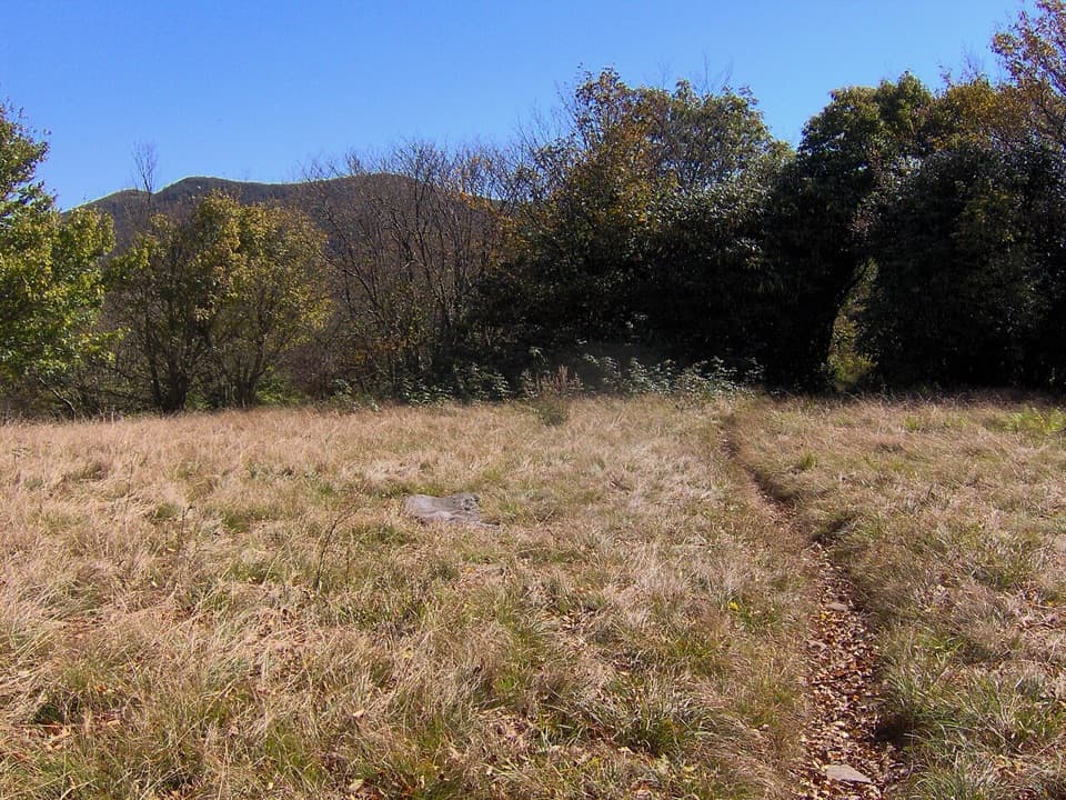
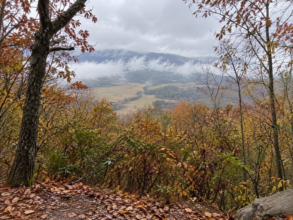
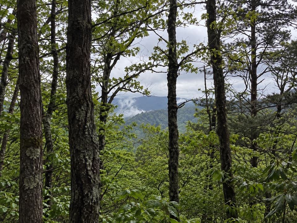
West to east, the route loses about 1,200 feet overall, with a small rise near the start and rolling ground before the longer descent. Expect wooded tread, narrow and eroded patches, a small spring crossing that calls for a rock-hop, and switchbacks as the path drops from the ridge. Near its end it follows the park boundary past homes outside the park. There are few open views; the most noticeable one is a brief look toward the ridges through the trees near Schoolhouse Gap.

Whiteoak Sink and the old clearingThe lower part of the route reaches Whiteoak Sink, known for spring wildflowers and a small…

The lower part of the route reaches Whiteoak Sink, known for spring wildflowers and a small waterfall. The power-line clearing near Campsite 6 recalls the corridor that once carried electricity toward Cades Cove; nearby woods also regrew after early twentieth-century logging. Stay on the established tread around the sink, and treat the nearby cave as off-route rather than part of the hike.

Wildlife

Wildlife in Great Smoky Mountains

All Great Smoky Mountains wildlife maps

Sighting maps show where each species has been reported across Great Smoky Mountains. Wildlife moves, so no sighting is guaranteed.

Keep exploring

Near Scott Mountain Trail

See it all on the map

Trails that start nearby

Places near the trailhead

Parkwolf’s Great Smoky Mountains ranking

Top-rated trails in Great Smoky Mountains

All 197 trails
  1. 1Mount Le Conte via Alum Cave TrailChallenging · 10 mi
  2. 2Charlies Bunion via Appalachian TrailModerate · 8 mi
  3. 3Alum Cave Trail to Alum Cave BluffsModerate · 4.6 mi
  4. 4Ramsey Cascades TrailChallenging · 8 mi
  5. 5Mount Cammerer TrailChallenging · 11.1 mi
  6. 6Gregory Ridge TrailChallenging · 11.4 mi

Take Parkwolf to Great Smoky Mountains.

The audio tour guide for the drive, plus offline maps, trails, and wildlife heatmaps for when the signal drops.

4.7 from 8,600+ ratings

Download Parkwolf on the App StoreGet Parkwolf on Google Play