Parking
Start at the Benton MacKaye Trail access at Fontana Dam on Fontana Dam Road. The route ends at Big Creek Campground, so arrange a shuttle or stage a vehicle at each end. Park vehicles left longer than 15 minutes require a parking tag.
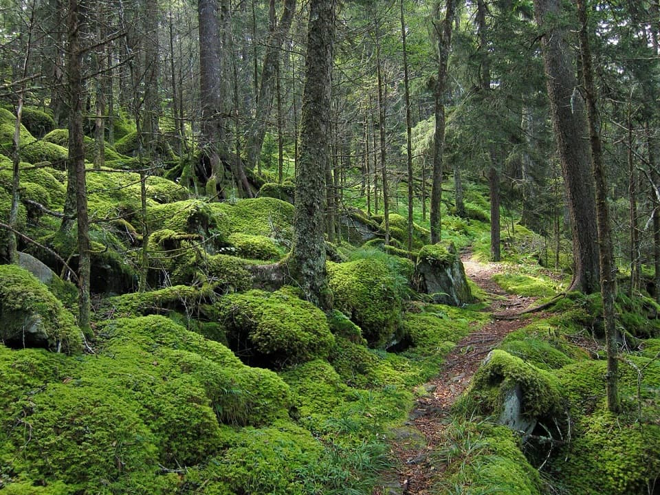
Great Smoky Mountains National Park, TN · NC
A 93-mile Smokies crossing from Fontana Dam to Big Creek.
Overview
Map & elevation
Plan your hike

The highest, rockiest slopes around here are a summer buffet for grizzly bears.
Great Smoky Mountains Tour Guide
Parkwolf is a GPS audio tour guide for Great Smoky Mountains National Park. As you drive, it chimes in with what’s ahead: hidden gems, upcoming stops, history, geology, and wildlife, right through your car’s speakers.
See the Great Smoky Mountains audio tourRecorded for this trailhead
Fontana Dam“You're coming up on Fontana Dam, a concrete wall four hundred and eighty feet high holding back Fontana Lake.”
Plays as you drive up to this trailhead in the Parkwolf Great Smoky Mountains Tour Guide.
More stories near here in the app
“Fantastic app with many points of information… It’s great to just turn on while you’re driving and it gives you an audio tour of the national Park. We love it!!!!”


Trail guide
The Benton MacKaye Trail is a strenuous, one-way backpacking route across the Smokies, about 93.4 miles from Fontana Dam to Big Creek Campground. It tracks the Fontana Lake shore before climbing through the park’s high ridges to Mount Sterling, then drops to Big Creek. This entry covers that Fontana-to-Big-Creek park segment; it does not add the older Twentymile-to-Davenport Gap itinerary. The signed trail continues beyond the park, but Big Creek is the endpoint represented here. BMTA access mile markers span 93.4 miles; the mapped line is about 91.6 miles because its generalized geometry is shorter than the official access-mile interval.
Treat this as a multi-day wilderness trip, not a day hike. A reasonable plan is roughly 10–12 hiking days, or about 80 hours of walking before long breaks; pace depends on your daily mileage and how much time you give the climbs. This is a point-to-point route, so arrange a shuttle or stage vehicles at both ends. Overnight stays in the park’s backcountry require a permit and advance campsite reservations. Work out a night-by-night itinerary before setting out rather than assuming you can camp wherever the day ends.
From Fontana Dam, the route follows the lake corridor through the Lakeshore Trail area, then turns into Noland Creek. The long lakeside stretch trades ridge views for quieter coves and a sense of scale: the reservoir’s shoreline reaches into valleys that were once settled. Near Noland Creek, the tread follows an old roadbed in places, with bridges and several unbridged creek fords farther up. Lake levels and rainfall can change how crossings feel, so do not assume every stream has a bridge.
The route leaves the lake country with sustained climbing over Noland Divide and Newton Bald, then descends toward Smokemont. This is the first major change in character: long wooded grades replace the easier lakeshore miles, and the route repeatedly rises and falls rather than steadily progressing toward the finish. Near Smokemont, the BMT passes the Chasteen Creek cascade area before climbing across Hughes Ridge. The route is assembled from named park trails, so junctions matter; keep the current route description and map handy instead of relying on the Benton MacKaye name alone at every intersection.
Beyond Hughes Ridge, the line drops toward Enloe Creek and crosses Raven Fork on an old steel bridge. It then climbs steeply over Hyatt Ridge and drops to Beech Gap at Straight Fork Road. Expect another climb from Beech Gap through Balsam fir forest toward Laurel Gap Shelter. These are remote, strenuous sections with repeated elevation changes; a short mileage day here can still take real effort. The shelter is a route landmark, not a substitute for planning a permitted campsite.
The final high ridge leads to Mount Sterling’s fire tower, the high point of this Smokies crossing at about 5,842 feet. The tower gives a broad look across the surrounding mountains and marks the last major summit before the finish. From Mount Sterling the route makes a sharp descent of roughly 4,000 feet in about six miles to Big Creek Campground. That sustained downhill is a demanding end to a long trip, especially with a full pack; budget time and energy for it rather than treating the summit as the finish.
Natural water is generally available along the route, but treat it before drinking. The Noland Creek section includes unbridged fords, and high water can make a crossing more difficult. Backcountry permits and reserved campsites are required for overnight trips. Pets are prohibited on this trail under the park’s normal rules. Check current road and trail notices before your trip, especially if your shuttle plan depends on reaching the Straight Fork or Balsam Mountain Road access points.
Wildlife
 1,566 sightingsBlack BearMost seen around 7 PMSighting map
 899 sightingsElkMost seen around 7 AMSighting map
 13 sightingsBald EagleMost seen around 9 AMSighting map
 142 sightingsTimber RattlesnakeMost seen around 6 PMSighting map
 26 sightingsBobcatMost seen around 8 PMSighting map
 42 sightingsRiver OtterMost seen around 7 AMSighting map
Sighting maps show where each species has been reported across Great Smoky Mountains. Wildlife moves, so no sighting is guaranteed.
Keep exploring
 ChallengingAppalachian Trail71.1 mi · 2 days · 0.2 mi awayA week on the high ridge, with spruce-fir and rocky overlooks.
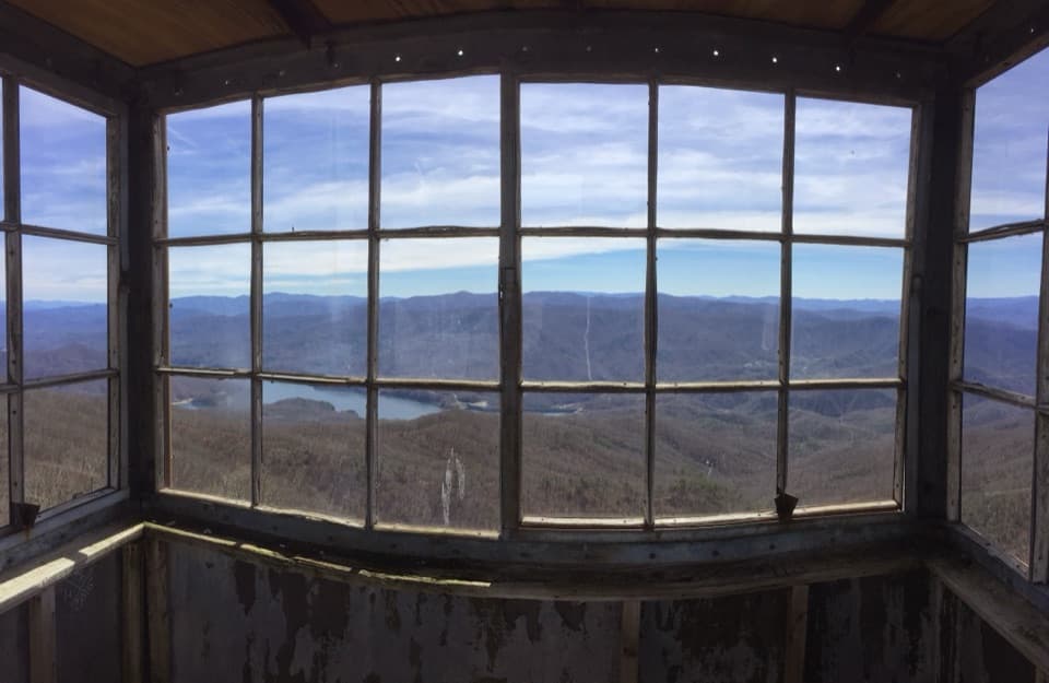 ChallengingShuckstack Fire Tower Trail6.8 mi · 5.5 hr · 0.8 mi awayA steep Appalachian Trail climb ends at a tower above Fontana Lake
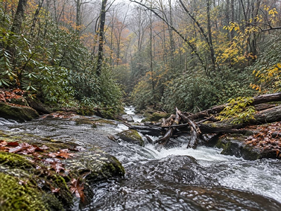 ChallengingLost Cove Trail2.7 mi · 2 hr · 2.7 mi awayA steep, shaded descent from the A.T. to Lakeshore Trail.
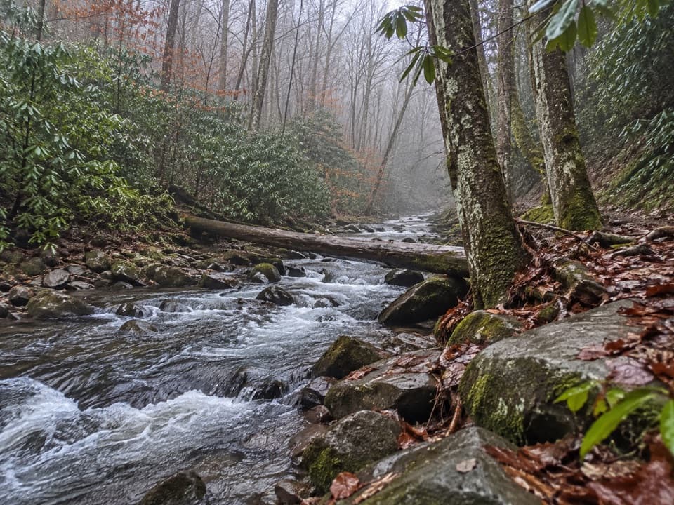 ChallengingEagle Creek Trail8.6 mi · 6.5 hr · 3 mi awayA rugged creek-to-ridge traverse ending above Cades Cove.
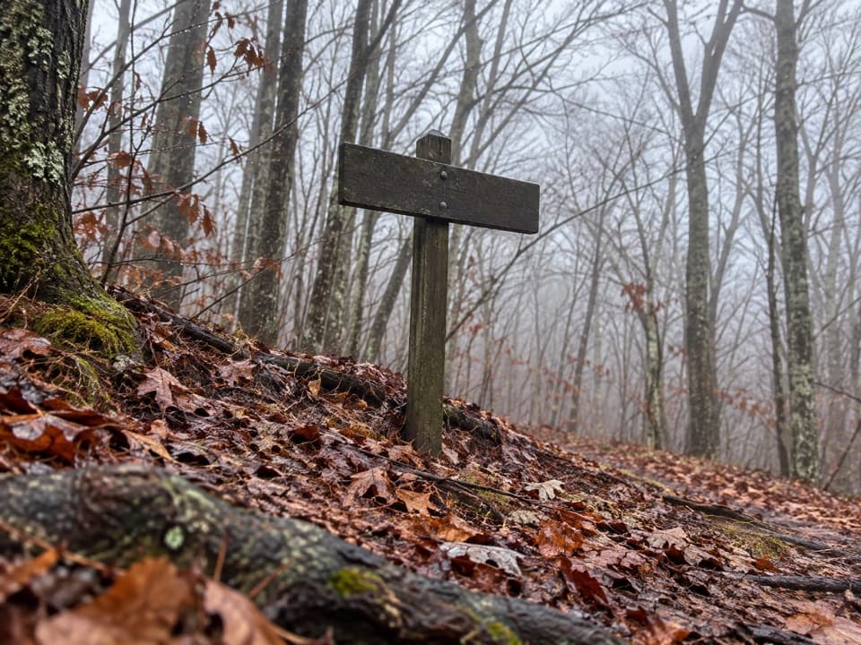 ChallengingLong Hungry Ridge Trail4.6 mi · 3.5 hr · 3 mi awayA backcountry ridge link with several unbridged creek crossings.
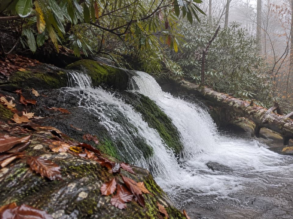 EasyTwentymile Cascade Trail1.2 mi · 45 min · 4.3 mi awayA short creekside walk ends beside a mossy cascade.
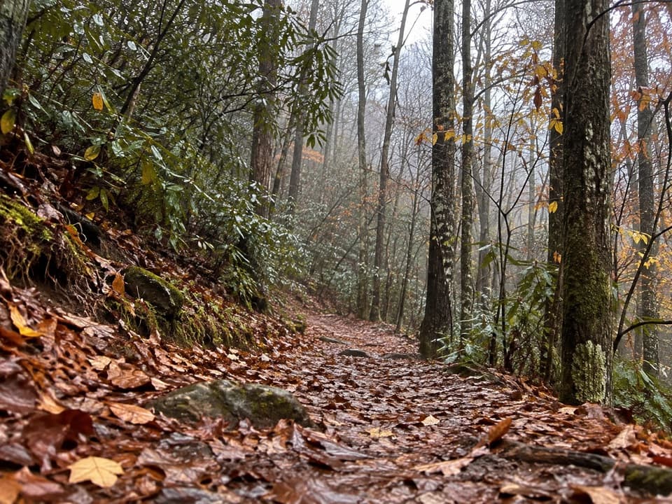 ChallengingTwentymile Trail10.1 mi · 7 hr · 4.3 mi awayA quiet 10-mile climb from Twentymile Creek to the AT.
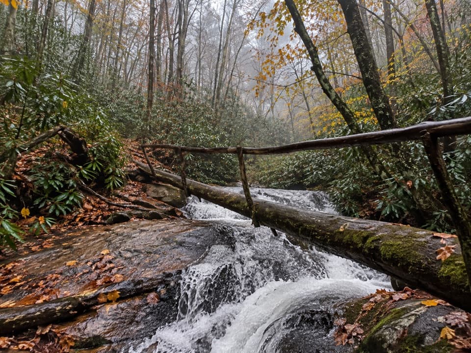 ChallengingWolf Ridge Trail to Sheep Pen Gap13.7 mi · 9 hr · 4.3 mi awayA steep, remote out-and-back to Sheep Pen Gap.
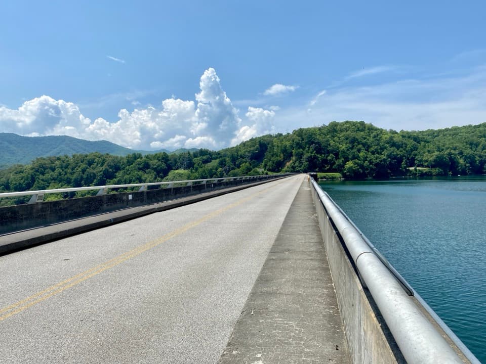 Sight · 0.2 mi awayFontana DamA 480-foot dam doubles as an Appalachian Trail crossing.
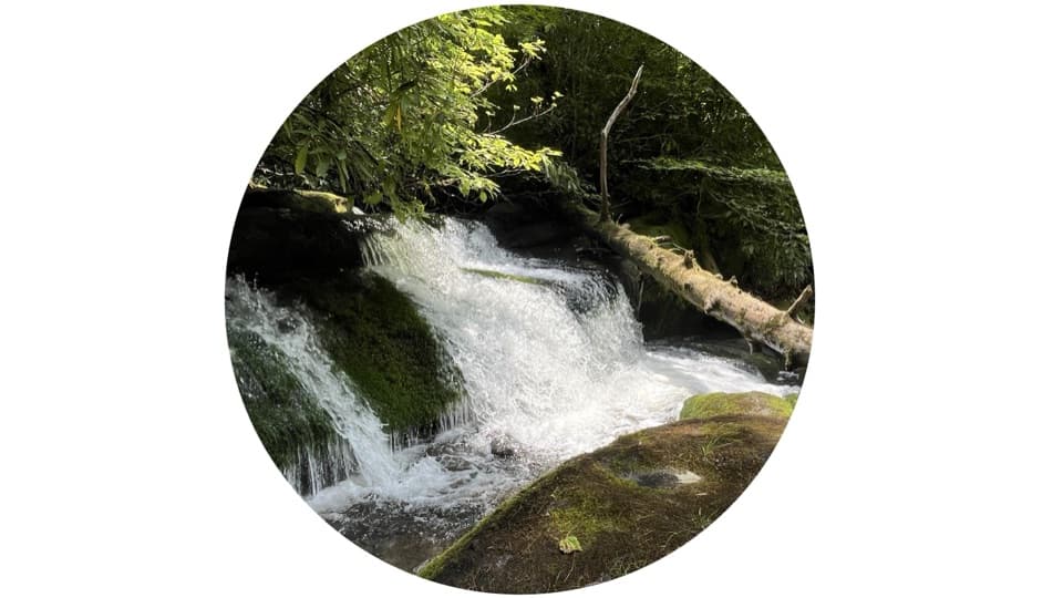 Sight · 4 mi awayTwentymile CascadeA short creekside walk to a 22-foot sandstone cascade.
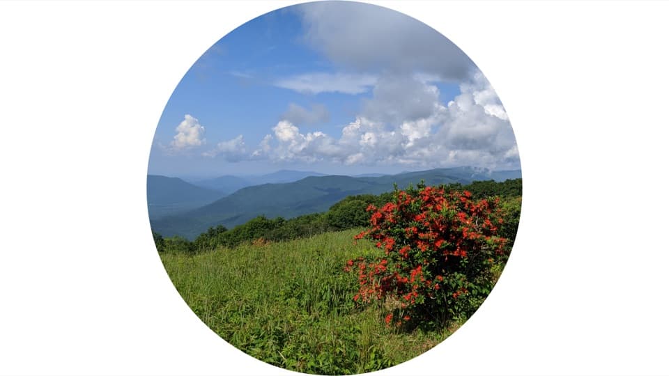 Sight · 6 mi awayGregory BaldAn open summit of flame azaleas, earned by a long Smokies hike.
 Sight · 9 mi awayHenry Whitehead PlaceSpot the “granny hole” in Cades Cove’s older cabin.
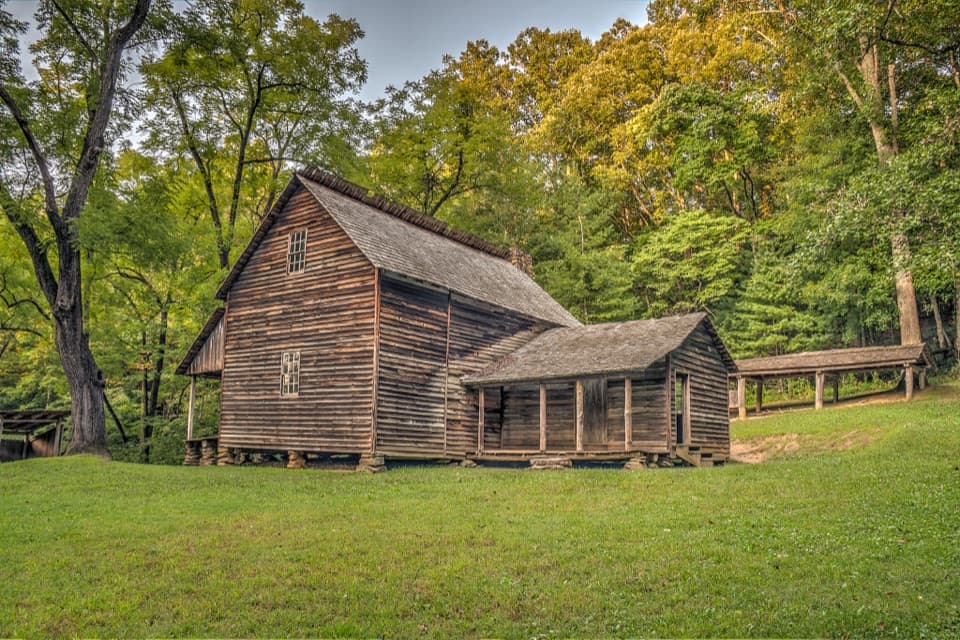 Sight · 9.4 mi awayTipton PlaceA cabin, a clever barn and a farmstead’s working details.
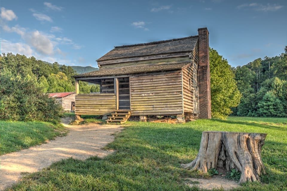 Sight · 9.5 mi awayDan Lawson PlaceAn 1856 log home that grew into a post office and store.
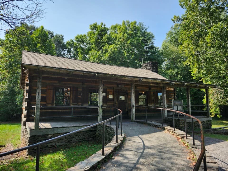 Visitor center · 9.5 mi awayCades Cove Visitor CenterA handy loop break with a water-powered mill right beside it.
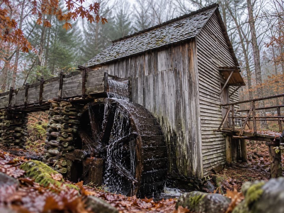 Sight · 9.5 mi awayCable Mill Historic AreaSee an 1870s mill where water powered a working cove.
Parkwolf’s Great Smoky Mountains ranking

The audio tour guide for the drive, plus offline maps, trails, and wildlife heatmaps for when the signal drops.




