Green Gardens Trail in Gros Morne National Park

#4 of 25 trails in Gros Morne

Gros Morne National Park, NL

Green Gardens Trail

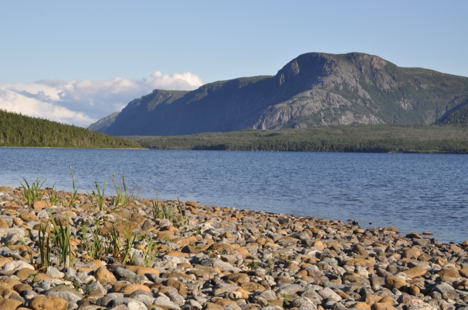
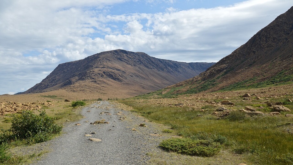
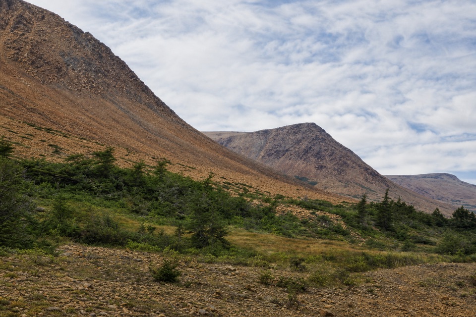
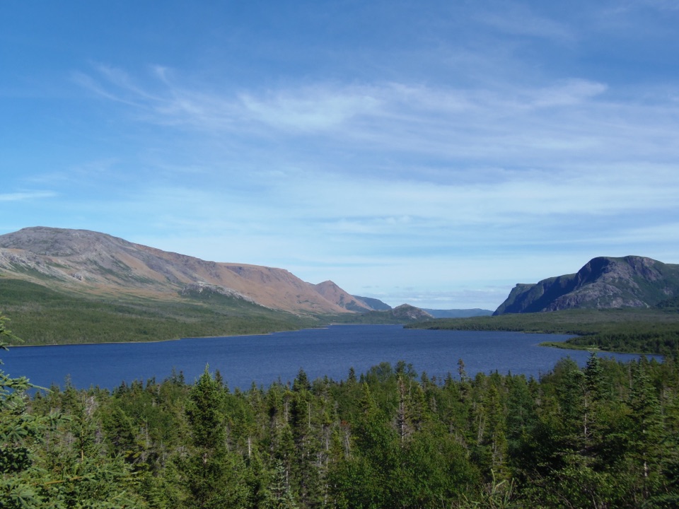
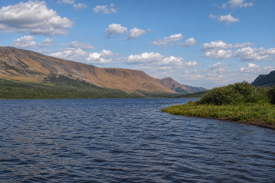
Serpentine barrens give way to sea stacks, meadows, and a pebble beach.

Photo: Wikimedia Commons
Length
9km
Time
3.5hr
Elev. change
242m
Difficulty
Moderate
  • High point 244 m

Hear the audio tour

Green Gardens Trailhead

Overview

About Green Gardens Trail

Why go

  • Three distinct landscapes end at a dramatic coast
  • Stairs reach a pebble beach beneath sea stacks

Heads up

  • The return climbs for long stretches
  • Exposed barrens and cliff edges offer little shelter

Map & elevation

The route

Loading the Gros Morne map
Full map
Elevation2–244 m
TrailheadGreen Gardens Trailhead (Route 431)49.49048, -58.07736
Keep this map with you offline in the Parkwolf app

Plan your hike

Before you go

Parking

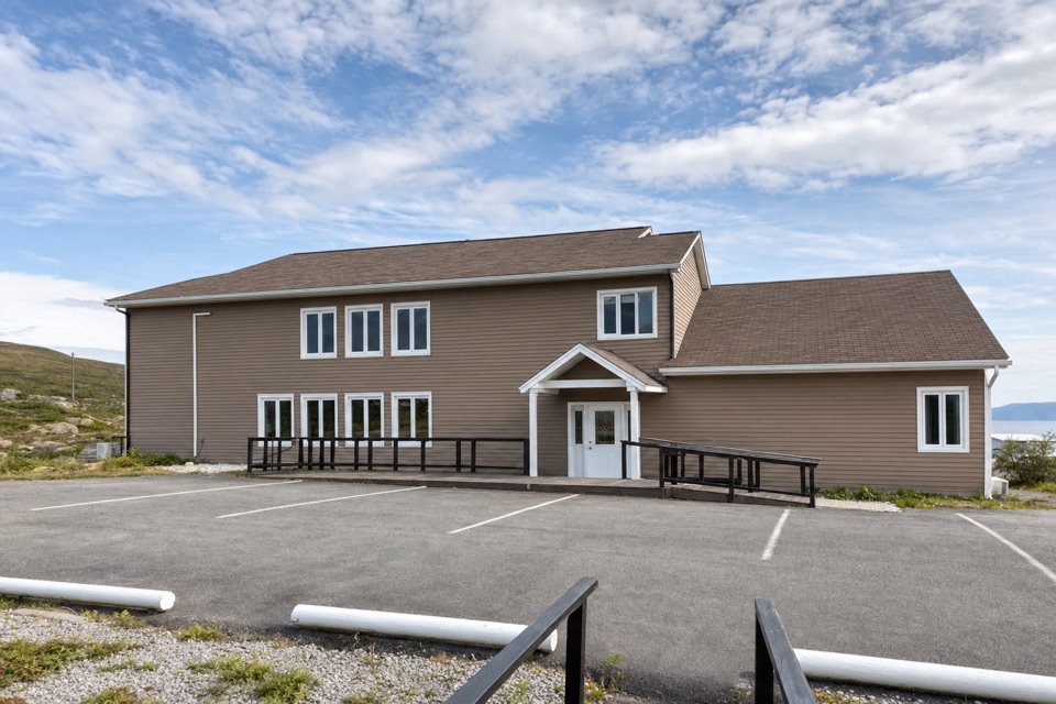
Green Gardens Trailhead parking lot on Route 431, about 13 km from Woody Point and 3 km from Trout River. An outhouse has been reported at the lot; capacity and current availability have not been established. Parks Canada entry pass required.

Safety

The return is uphill and steep in places, with uneven footing, switchbacks and stairs. Stay well back from coastal cliff edges, which can be undercut. Rocks at the beach can be slippery, and access around the sea cave depends on tide. The former continuation beyond Steve’s Cove toward Wallace Brook is permanently closed; turn around at Steve’s Cove.

3 active Gros Morne alerts

  • ClosureGreen Gardens and Wallace Brook trail sections closedMentions this trailDo not enter the closed sections of the Green Gardens and Wallace Brook trails.Official details
  • CautionStuckless Pond Trail bridge outDo not use the Stuckless Pond Trail at the stream crossing. - The bridge is out, and Parks Canada says trail use is not recommended at this time because of high water levels at the stream crossing.Official details
See all 3 alerts
A park ranger sits on a dash-mounted phone, talking, as Parkwolf’s Tour Guide plays “Army Cutworm Moths: A Grizzly Bear Buffet” on Grand Loop Road below Dunraven Pass in Yellowstone
Parkwolf Tour GuideThe highest, rockiest slopes around here are a summer buffet for grizzly bears.

Gros Morne Tour Guide

Your drive to Green Gardens Trail, narrated.

Parkwolf is a GPS audio tour guide for Gros Morne National Park. As you drive, it chimes in with what’s ahead: hidden gems, upcoming stops, history, geology, and wildlife, right through your car’s speakers.

Recorded for this trailhead

Green Gardens Trailhead
0:00 / 0:24
“You're approaching the Green Gardens trailhead, start of a nine-kilometre return walk across rust-coloured barrens and forest to coastal meadows, sea stacks and a pebble beach.”

Plays as you drive up to this trailhead in the Parkwolf Gros Morne Tour Guide.

More stories near here in the app

  • The Berry Called Bakeapple
  • Pillows from an Ancient Ocean
  • Trout River Waterfront and Seaside Restaurant
  • What Cod Tongues Really Are
  • 87 audio storiesacross Gros Morne’s roads, triggered by GPS as you drive
  • Wildlife heatmapsfor Moose, Caribou, Black Bear, and 13 more
  • Works offlinemaps, 25 trails, 58 places, and audio download before you lose signal
  • CarPlay readysimple controls built for the drive
★★★★★
“Fantastic app with many points of information… It’s great to just turn on while you’re driving and it gives you an audio tour of the national Park. We love it!!!!”
JMJamesApp Store review
Download Parkwolf on the App StoreGet Parkwolf on Google Play

4.7 from 8,600+ ratings

Trail guide

Hiking Green Gardens Trail

From barrens to the coastGreen Gardens is a 9 km (5.

Green Gardens is a 9 km (5.6-mile) out-and-back from Route 431 to the south coast and back, crossing open serpentine barrens and boreal forest before reaching the meadows and headlands of Old Man Cove and Steve’s Cove. The first 4.5 km takes you to the coast at Old Man Cove; follow the trail north through the headlands to Steve’s Cove, the current end, then return along the same route. Allow three to four hours. If you have half a day for one walk in the south end of the park, this is a good one to spend it on: the scenery changes from rusty rock to forest to sea, and the beach feels earned.

The descent across the TablelandsThe trail starts high on the Tablelands, on open, rust-coloured serpentine rock with low plants…

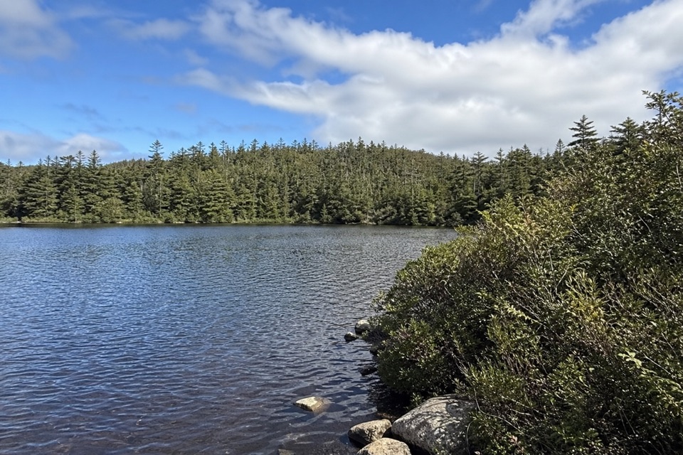
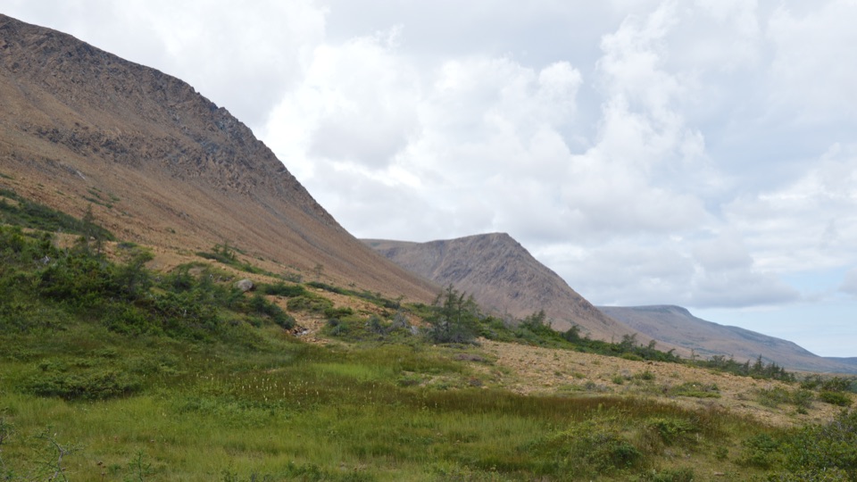
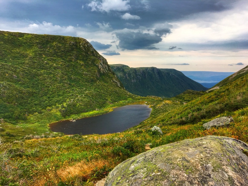
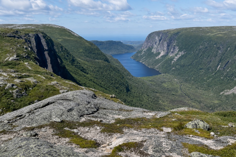
The trail starts high on the Tablelands, on open, rust-coloured serpentine rock with low plants and little shelter. The first stretch is mostly level; after about 20 minutes the path turns downhill and switchbacks into a boreal forest valley. Watch your footing on the rocky, rooty sections. You’ll step across small creeks and cross a short bridge before the forest starts to thin. The coast announces itself with waterfalls, wind-shaped tuckamore trees and open meadow. Wildflowers and pitcher plants grow near the shore, though what’s in bloom depends on the season. After rain, mud and slick rocks can slow the descent; the return climb is where you’ll notice the extra effort.

Old Man Cove, and the trail’s endAt Old Man Cove, stairs drop from the cliff-top meadow to a long pebble beach, with sea stacks…

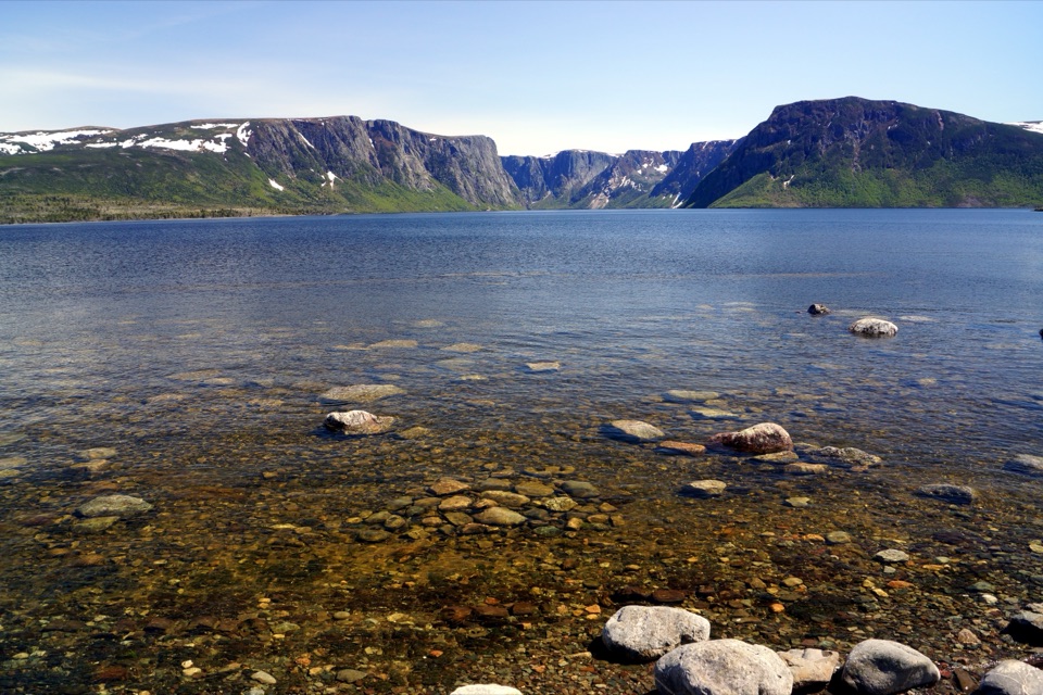
At Old Man Cove, stairs drop from the cliff-top meadow to a long pebble beach, with sea stacks offshore, waterfalls coming down the cliffs and a sea cave around the headland. The beach is the obvious place to stop, but don’t feel you’ve finished: the trail continues north for about ten minutes across coastal headlands and meadows to Steve’s Cove, its current end. The wide-open view from up here takes in the stacks and Gros Morne’s southern coastline. Stay well back from the cliff edges, which can be undercut. Rocks by the water can be slippery, and reaching the sea cave depends on a safe tide; don’t try to go around a headland with water rising.

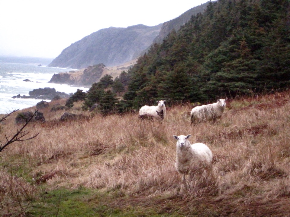
Green Gardens was once summer pasture for people from Trout River, and sheep are still seen on the coast. The cliffs also show pillow basalt, formed when lava cooled underwater about 550 million years ago. From the meadow above Old Man Cove, include the grass or sheep in the foreground with the sea stacks and cliffs beyond; it gives the coast a sense of scale.

Plan for the returnThe official distance is 9 km round trip, and the park calls the trail moderate.

The official distance is 9 km round trip, and the park calls the trail moderate. Published ascent figures vary from roughly 300 to 415 metres, but the practical point is the same: the way back climbs for long stretches and is steep in places. Take your time on the switchbacks and stairs. The parking lot and trailhead are on Route 431, about 13 km from Woody Point and 3 km from Trout River. An outhouse has been reported at the lot, but its capacity and current availability aren’t established. No food or potable water is documented along the route, so bring what you need. A Parks Canada entry pass is required; overnight camping at Old Man Cove needs a permit and registration. The former continuation from Steve’s Cove toward Wallace Brook is permanently closed, so turn around at Steve’s Cove.

Wildlife

Wildlife in Gros Morne

All Gros Morne wildlife maps

Sighting maps show where each species has been reported across Gros Morne. Wildlife moves, so no sighting is guaranteed.

Keep exploring

Near Green Gardens Trail

See it all on the map

Trails that start nearby

Places near the trailhead

Parkwolf’s Gros Morne ranking

Top-rated trails in Gros Morne

All 25 trails
  1. 1Gros Morne Mountain TrailChallenging · 17 km
  2. 2Western Brook Pond TrailEasy · 6 km
  3. 3Tablelands TrailEasy · 4 km
  4. 5Long Range TraverseChallenging · 35 km
  5. 6Baker's Brook Falls TrailModerate · 10 km
  6. 7Northern TraverseChallenging · 33 km

Take Parkwolf to Gros Morne.

The audio tour guide for the drive, plus offline maps, trails, and wildlife heatmaps for when the signal drops.

4.7 from 8,600+ ratings

Download Parkwolf on the App StoreGet Parkwolf on Google Play