Parking
Use the Tablelands Trail lot on Route 431, 4 km west of the Woody Point Discovery Centre. A trailhead map shows the Serpentine Loop branch from the main path.
Gros Morne National Park, NL
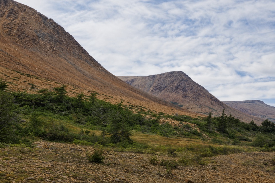
A winding path through mantle rock and tiny Tablelands plants.
Overview
Map & elevation
Plan your hike

The highest, rockiest slopes around here are a summer buffet for grizzly bears.
Gros Morne Tour Guide
Parkwolf is a GPS audio tour guide for Gros Morne National Park. As you drive, it chimes in with what’s ahead: hidden gems, upcoming stops, history, geology, and wildlife, right through your car’s speakers.
Recorded for this trailhead
The Tablelands and Winter House Brook Canyon“You're approaching the Tablelands trailhead. I'd take the easy four-kilometre return walk to Winter House Brook Canyon; the view into its steep walls isn't at the parking lot.”
Plays as you drive up to this trailhead in the Parkwolf Gros Morne Tour Guide.
More stories near here in the app
“Fantastic app with many points of information… It’s great to just turn on while you’re driving and it gives you an audio tour of the national Park. We love it!!!!”


Trail guide
Serpentine Loop is a roughly 0.42-mile loop from the Route 431 parking area, with a brief shared approach and a return on the Tablelands Trail. It winds through low vegetation and over small fragments of the orange-brown rock that makes the Tablelands unusual. Choose it for a quick look at this exposed mantle landscape without walking the full 4 km return to Winter House Brook Canyon.
From the old trackway, the narrow loop meanders through low plants and scattered rock, then rejoins the main trail. The Tablelands expose mantle rock pushed up during ancient continental collisions, with characteristic plants growing in this unusual landscape. The short circuit stays close to the parking area; it does not reach the canyon at the end of the full Tablelands walk. Allow about 30 minutes. The rock fragments make this stretch less even underfoot than the main track.
Start at the Tablelands Trail lot on Route 431, 4 km west of the Woody Point Discovery Centre. Use the map at the lot to find the short branch from the main path. Keep to the tread to avoid trampling tiny, rare plants. Dogs are allowed on leash. For a longer outing, stay on the main Tablelands Trail to Winter House Brook Canyon.
Wildlife
 252 sightingsMooseMost seen around 7 AMSighting map
 120 sightingsCaribouMost seen around 7 AMSighting map
 22 sightingsBlack BearMost seen around 7 PMSighting map
 61 sightingsBald EagleMost seen around 7 AMSighting map
 11 sightingsCommon Minke WhaleMost seen around noonSighting map
 70 sightingsHarbor SealMost seen around noonSighting map
Sighting maps show where each species has been reported across Gros Morne. Wildlife moves, so no sighting is guaranteed.
Keep exploring
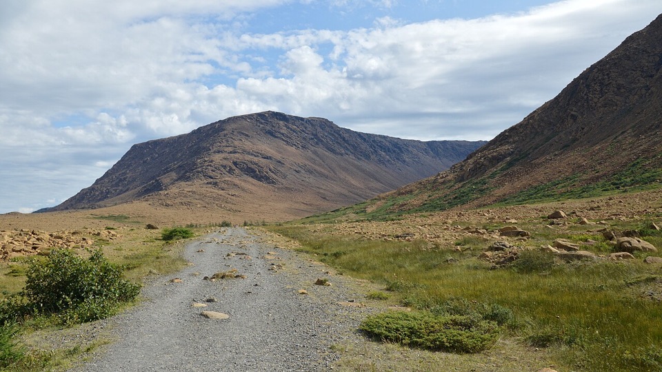 EasyTablelands Trail4 km · 1.5 hr · At the trailheadA short roadbed walk past mantle rock to a glacial canyon.
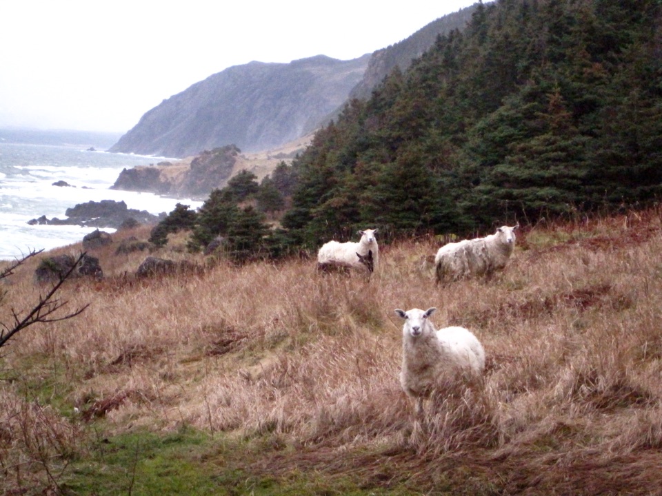 ModerateGreen Gardens Trail9 km · 3.5 hr · 7.6 km awaySerpentine barrens give way to sea stacks, meadows, and a pebble beach.
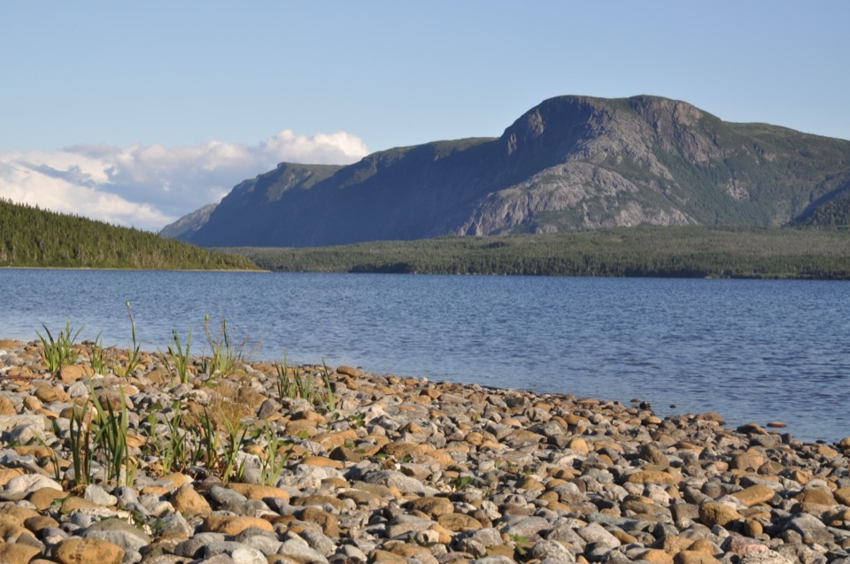 ModerateTrout River Pond Trail14 km · 4.5 hr · 10.5 km awayFollow the north shore to Tablelands barrens and a glacial valley.
 EasyMattie Mitchell Trail0.3 km · 15 min · 13.7 km awayShort woods loop to a quiet brook and local history.
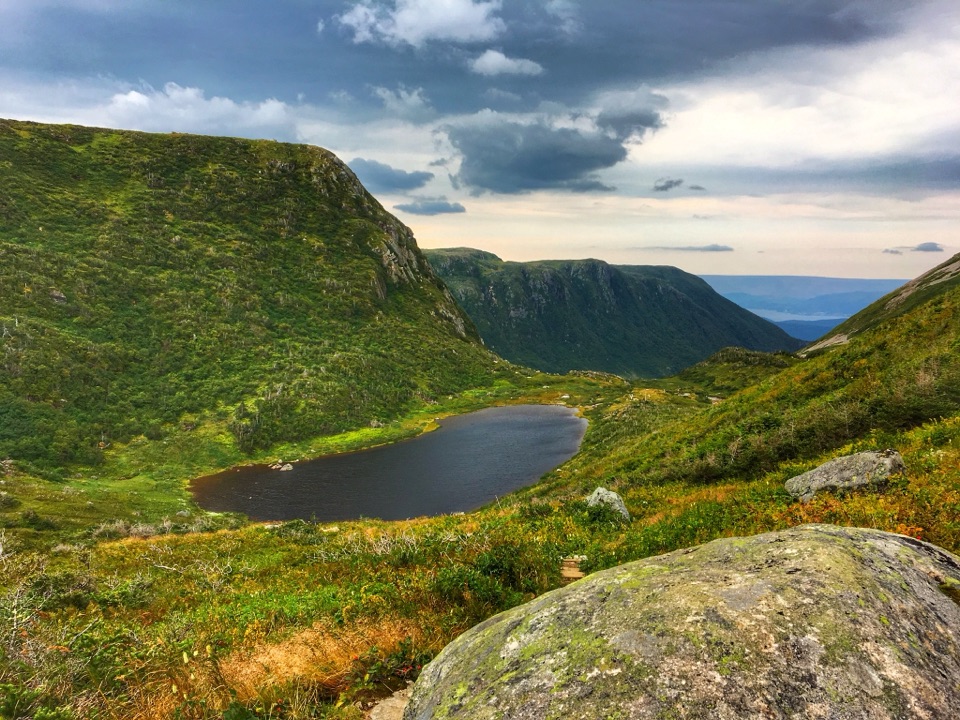 ChallengingGros Morne Mountain Trail17 km · 7.3 hr · 14.1 km awayWaterfalls, a bare alpine summit, and a boulder-strewn descent.
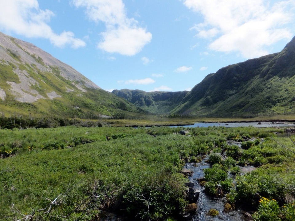 ChallengingFerry Gulch to Bakeapple Pond21 km · 2 days · 14.1 km awayTwo days of unmarked hiking to a view over Ten Mile Pond.
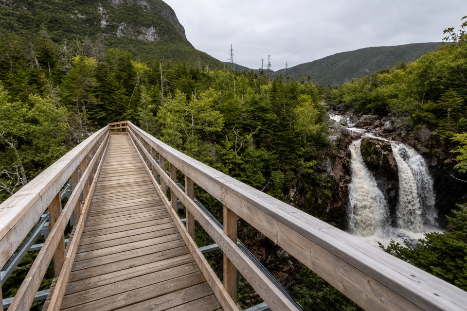 ModerateGros Morne Approach Trail9 km · 3 hr · 14.2 km awayA waterfall bridge marks the halfway point to the mountain’s base.
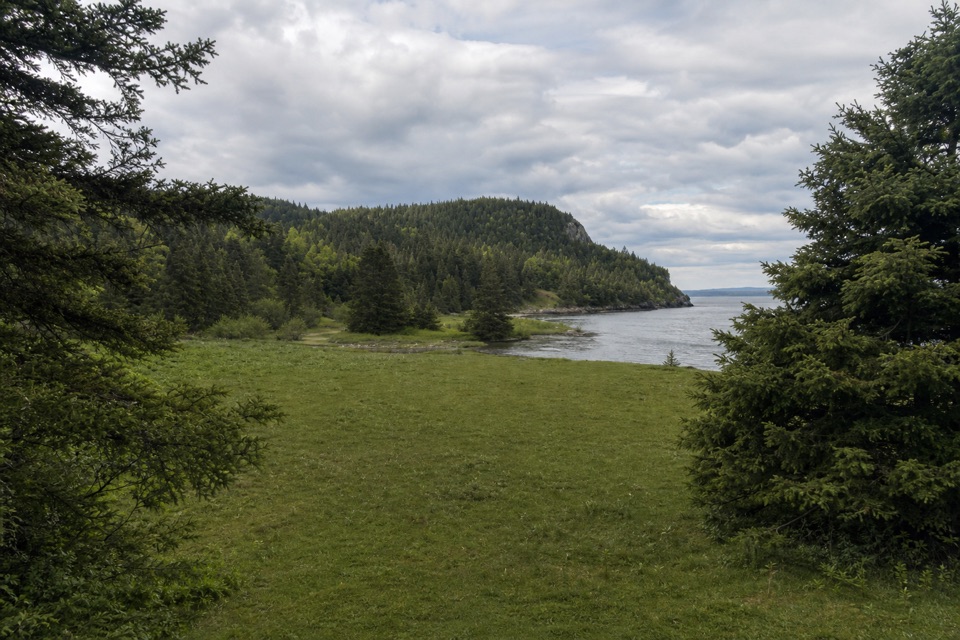 ModerateStanleyville Trail4.7 km · 1.8 hr · 15.5 km awayFollow an old logging road to a quiet cove and lost settlement.
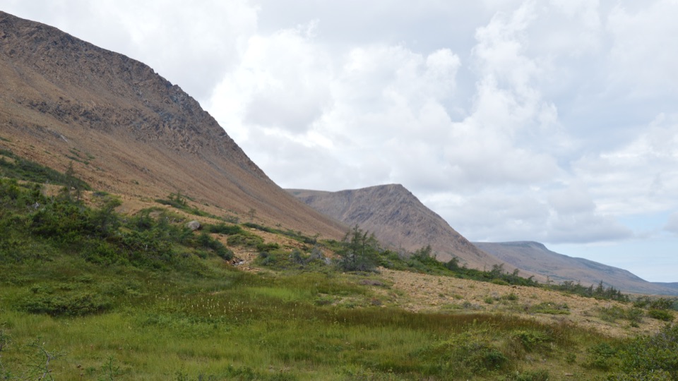 Sight · At the trailheadThe TablelandsWalk exposed mantle rock to a glacial canyon.
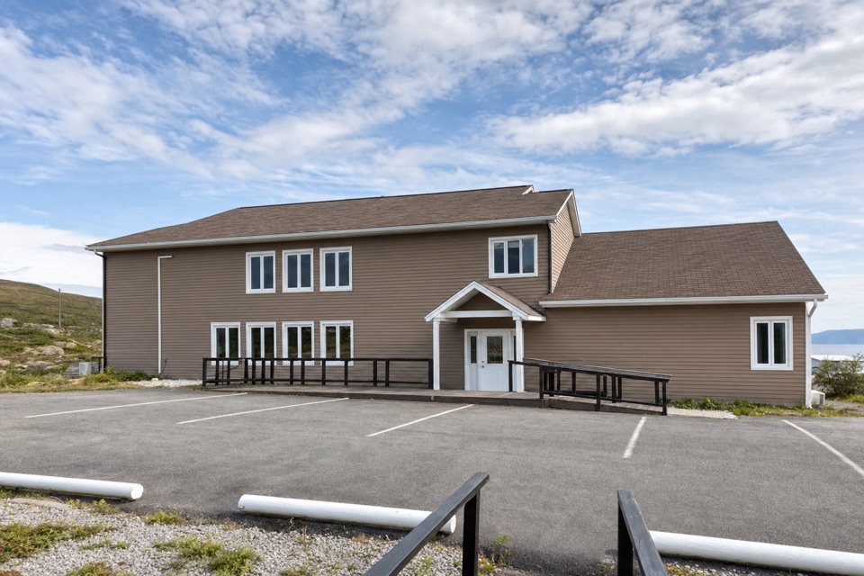 Lodging · 3.2 km awayGros Morne InnA 15-room base with mountain views, hot tubs and seafood dining.
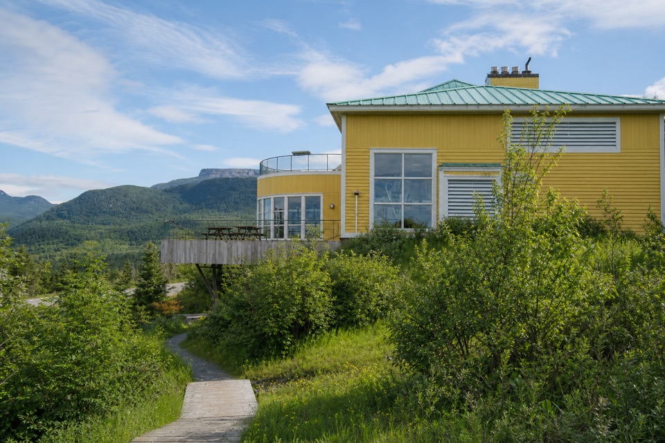 Visitor center · 3.6 km awayGros Morne National Park Discovery CentreA geology-rich orientation stop beside a steep hill climb.
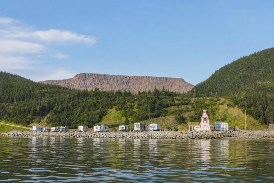 Campground · 4 km awayWater's Edge Gros Morne CampgroundSleep beside Bonne Bay, with the Tablelands across the water.
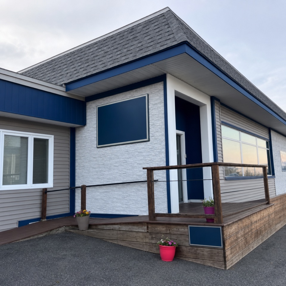 Lodging · 4.4 km awayBonne Bay InnA small hillside stay with Bonne Bay views
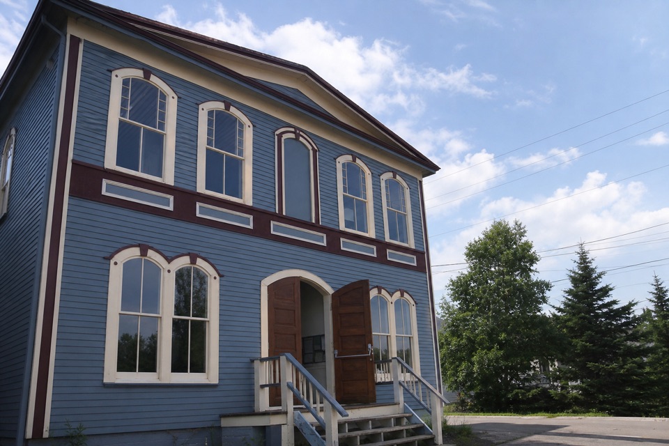 Sight · 5 km awayWoody Point Heritage TheatreA 1908 lodge still hosts music, readings, and theatre.
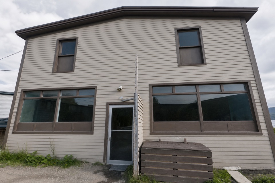 Store · 5 km awayClover Farm SupermarketA handy grocery stop for topping up supplies in Woody Point.
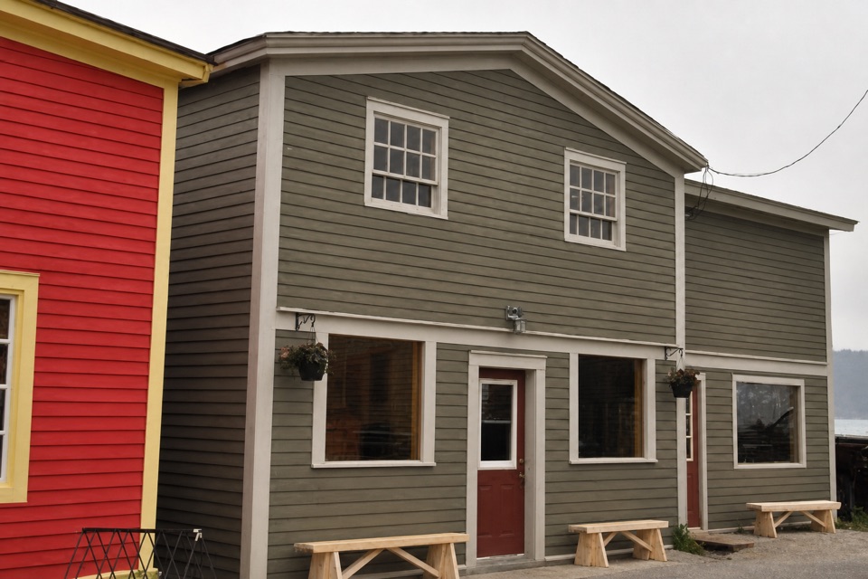 Restaurant · 5 km awayThe Old Loft RestaurantFresh Newfoundland seafood, with a bay view from upstairs.
Parkwolf’s Gros Morne ranking

The audio tour guide for the drive, plus offline maps, trails, and wildlife heatmaps for when the signal drops.