Parking
Use the Tablelands Trail parking area on Route 431 (Bonne Bay Road); the marked route starts at the parking area.
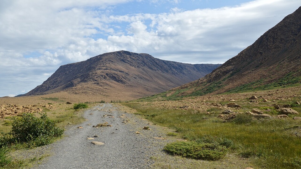
#3 of 25 trails in Gros Morne
Gros Morne National Park, NL
A short roadbed walk past mantle rock to a glacial canyon.
Overview
Map & elevation
Plan your hike

The highest, rockiest slopes around here are a summer buffet for grizzly bears.
Gros Morne Tour Guide
Parkwolf is a GPS audio tour guide for Gros Morne National Park. As you drive, it chimes in with what’s ahead: hidden gems, upcoming stops, history, geology, and wildlife, right through your car’s speakers.
Recorded for this trailhead
The Tablelands and Winter House Brook Canyon“You're approaching the Tablelands trailhead. I'd take the easy four-kilometre return walk to Winter House Brook Canyon; the view into its steep walls isn't at the parking lot.”
Plays as you drive up to this trailhead in the Parkwolf Gros Morne Tour Guide.
More stories near here in the app
“Fantastic app with many points of information… It’s great to just turn on while you’re driving and it gives you an audio tour of the national Park. We love it!!!!”


Trail guide
Tablelands Trail is an easy out-and-back along an old roadbed at the foot of Gros Morne’s bare, orange Tablelands, ending at glacially carved Winter House Brook Canyon. The marked route is 4 km return from the Route 431 parking area, with 88 m of elevation gain; allow one to two hours. It’s a good choice for a close look at the unusual rocks and plants here, including rock that normally sits far below Earth’s crust. You stay at the mountain’s base; this is not the climb to its top.
From the parking area, the old roadbed runs east beside the mountain. The track rises gradually toward the canyon, so this is an easy grade rather than a steep climb. The unpaved surface can be rocky and rough underfoot, though, and the official “easy” rating doesn’t promise smooth walking. Short wooden boardwalk sections break up the roadbed. If you use a stroller or wheels, that rough surface may be the deciding factor.
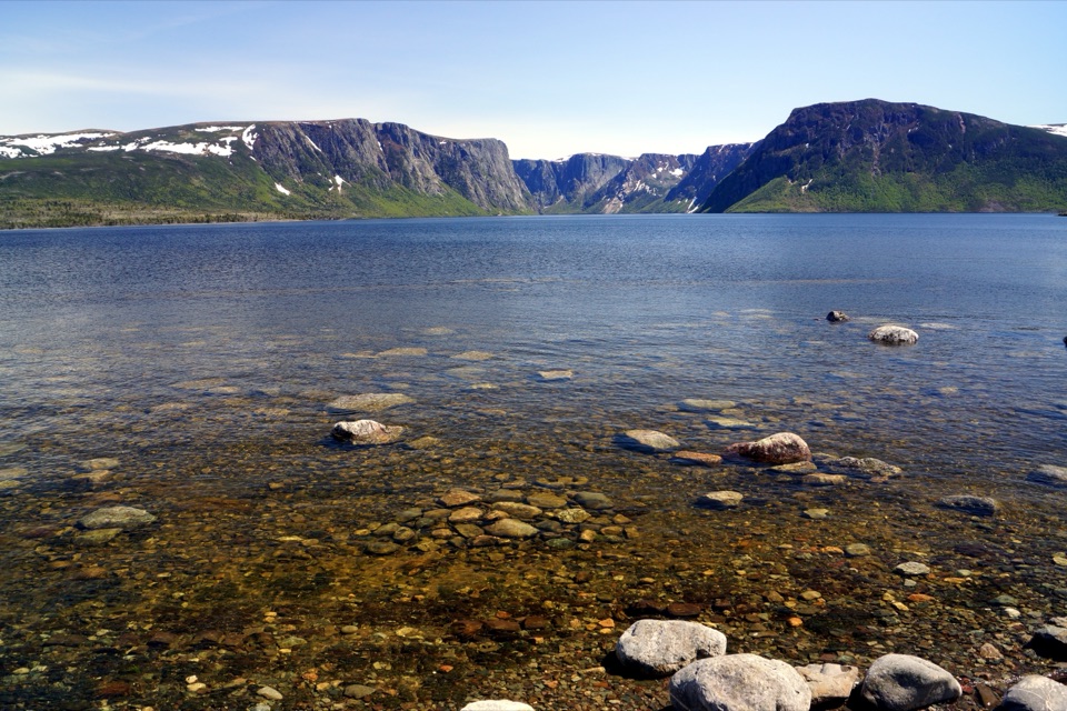
The landscape opens across sparse vegetation and loose stone, with the bare orange-brown slopes close by. Parks Canada describes unusual plants along the trail; look for small growth as well as the mountain. The orange rock is mantle material, normally buried far beneath Earth’s crust. Ancient continents collided and pushed it upward; erosion has spent hundreds of millions of years exposing it. That is the point of this walk: you can follow a fairly easy track through geology most people only see in a diagram.
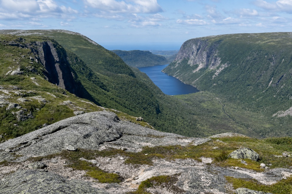
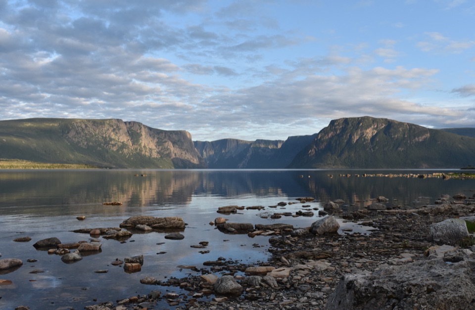
At the far end, the route reaches Winter House Brook Canyon, carved by glaciers. Pause there, then retrace the same corridor to the car. The full 4 km includes both directions, while the map shows the trail corridor once. For a photo, include some roadbed at the bottom and pull back to frame the orange rock against the green hills beyond; the contrast makes this landscape read better than a tight crop. A shorter Serpentine Loop branches from the main walk as a separate option; it isn’t part of this trail’s 4 km.
If you want a longer Tablelands climb, this easy marked track is not it. A separate off-trail route climbs the steep slopes without markers and calls for route-finding and navigation skills; check in with park staff before attempting it. For the lower Tablelands, stick with the roadbed to the canyon. Parks Canada also offers a free mobile tour for this walk. Download and open it before setting out; it works without cell signal.
Start at the Tablelands Trail parking area on Route 431, also called Bonne Bay Road; the path begins there. Use the upper end of the one-to-two-hour estimate if you want time to look at the rocks and canyon. No food or water service is listed for this trailhead, and I couldn’t confirm a drinking-water source. I couldn’t confirm the marked trail’s dog rule either, so check with Parks Canada before bringing one.
Wildlife
 252 sightingsMooseMost seen around 7 AMSighting map
 120 sightingsCaribouMost seen around 7 AMSighting map
 22 sightingsBlack BearMost seen around 7 PMSighting map
 61 sightingsBald EagleMost seen around 7 AMSighting map
 11 sightingsCommon Minke WhaleMost seen around noonSighting map
 70 sightingsHarbor SealMost seen around noonSighting map
Sighting maps show where each species has been reported across Gros Morne. Wildlife moves, so no sighting is guaranteed.
Keep exploring
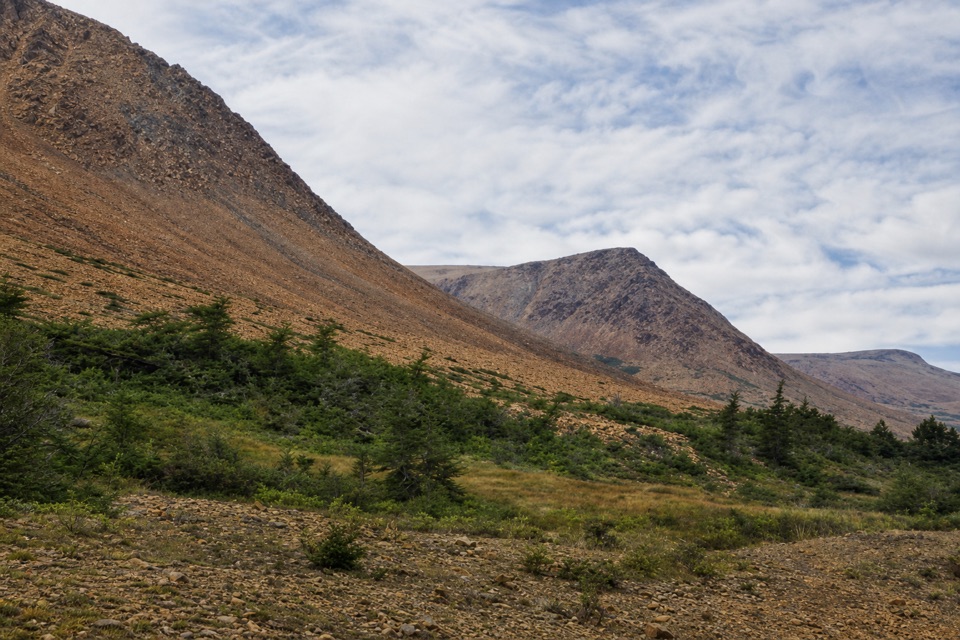 EasySerpentine Loop0.7 km · 30 min · At the trailheadA winding path through mantle rock and tiny Tablelands plants.
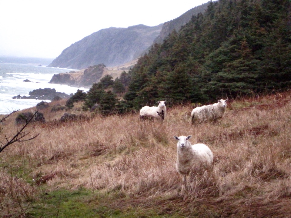 ModerateGreen Gardens Trail9 km · 3.5 hr · 7.6 km awaySerpentine barrens give way to sea stacks, meadows, and a pebble beach.
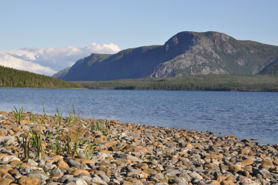 ModerateTrout River Pond Trail14 km · 4.5 hr · 10.5 km awayFollow the north shore to Tablelands barrens and a glacial valley.
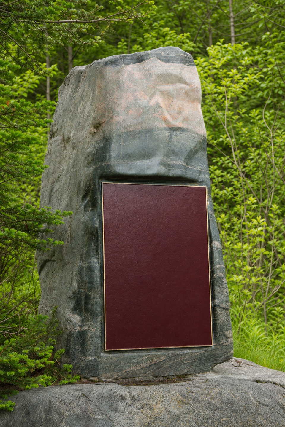 EasyMattie Mitchell Trail0.3 km · 15 min · 13.7 km awayShort woods loop to a quiet brook and local history.
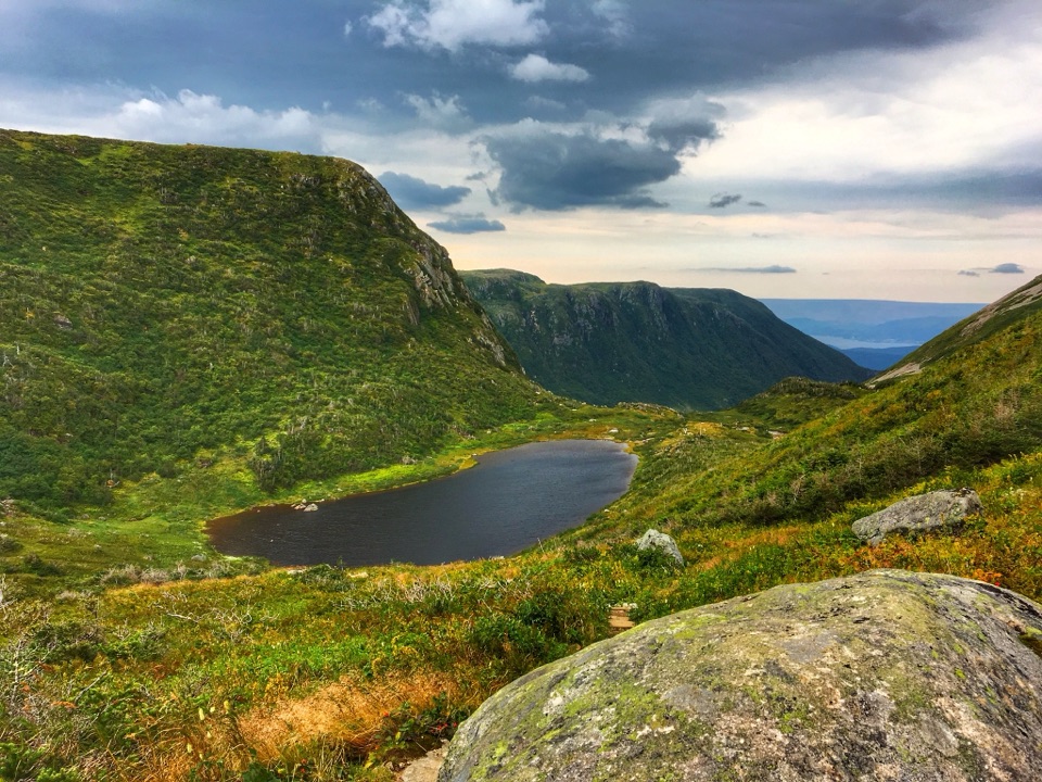 ChallengingGros Morne Mountain Trail17 km · 7.3 hr · 14.1 km awayWaterfalls, a bare alpine summit, and a boulder-strewn descent.
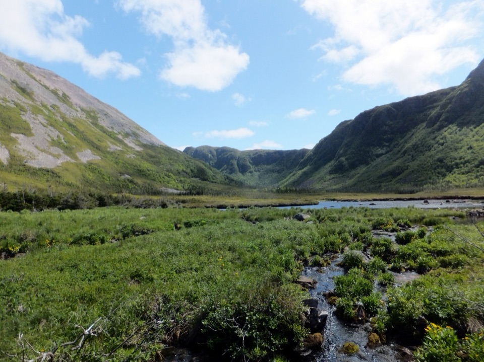 ChallengingFerry Gulch to Bakeapple Pond21 km · 2 days · 14.1 km awayTwo days of unmarked hiking to a view over Ten Mile Pond.
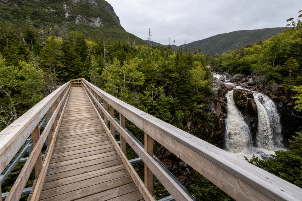 ModerateGros Morne Approach Trail9 km · 3 hr · 14.2 km awayA waterfall bridge marks the halfway point to the mountain’s base.
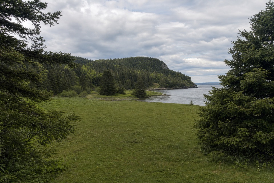 ModerateStanleyville Trail4.7 km · 1.8 hr · 15.5 km awayFollow an old logging road to a quiet cove and lost settlement.
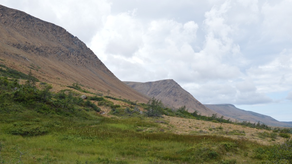 Sight · At the trailheadThe TablelandsWalk exposed mantle rock to a glacial canyon.
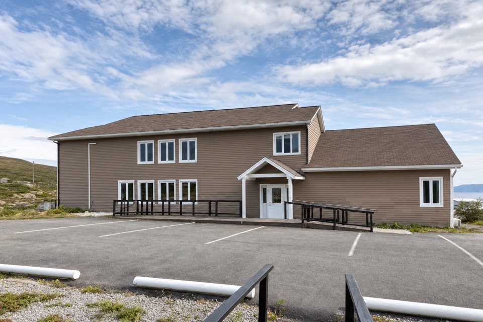 Lodging · 3.2 km awayGros Morne InnA 15-room base with mountain views, hot tubs and seafood dining.
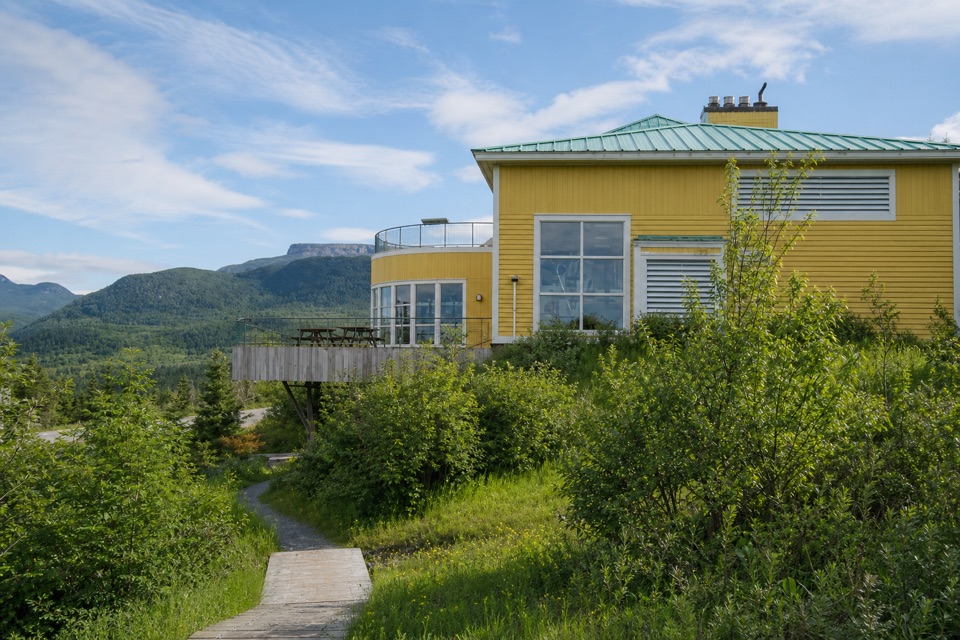 Visitor center · 3.6 km awayGros Morne National Park Discovery CentreA geology-rich orientation stop beside a steep hill climb.
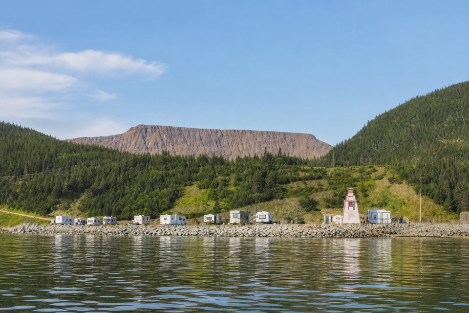 Campground · 4 km awayWater's Edge Gros Morne CampgroundSleep beside Bonne Bay, with the Tablelands across the water.
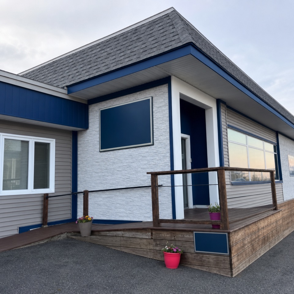 Lodging · 4.4 km awayBonne Bay InnA small hillside stay with Bonne Bay views
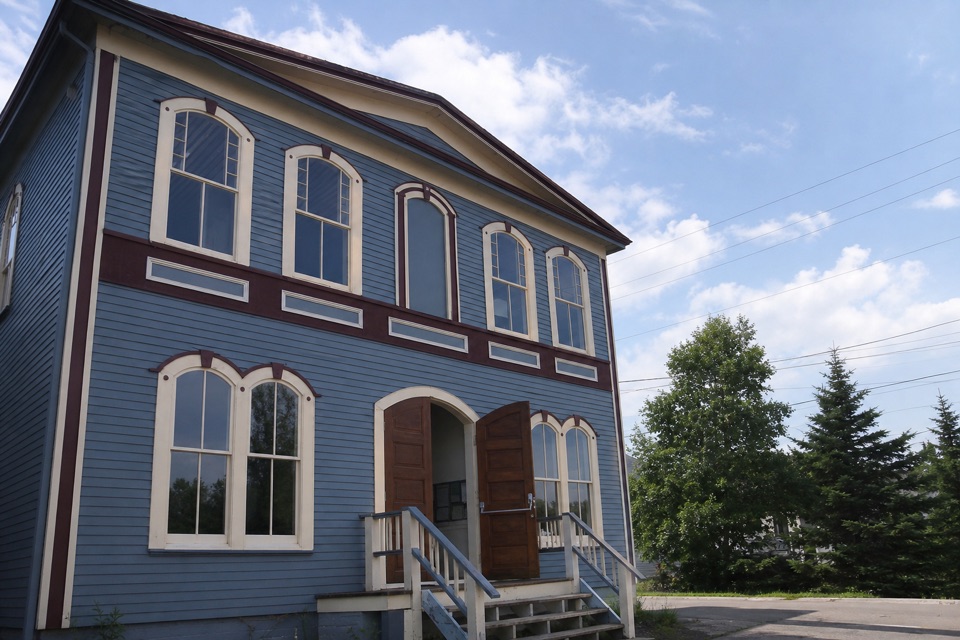 Sight · 5 km awayWoody Point Heritage TheatreA 1908 lodge still hosts music, readings, and theatre.
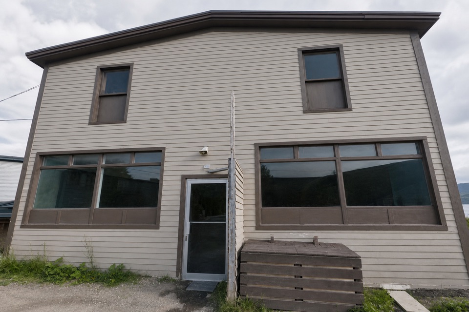 Store · 5 km awayClover Farm SupermarketA handy grocery stop for topping up supplies in Woody Point.
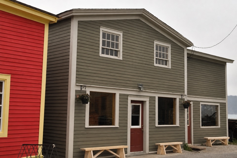 Restaurant · 5 km awayThe Old Loft RestaurantFresh Newfoundland seafood, with a bay view from upstairs.
Parkwolf’s Gros Morne ranking

The audio tour guide for the drive, plus offline maps, trails, and wildlife heatmaps for when the signal drops.