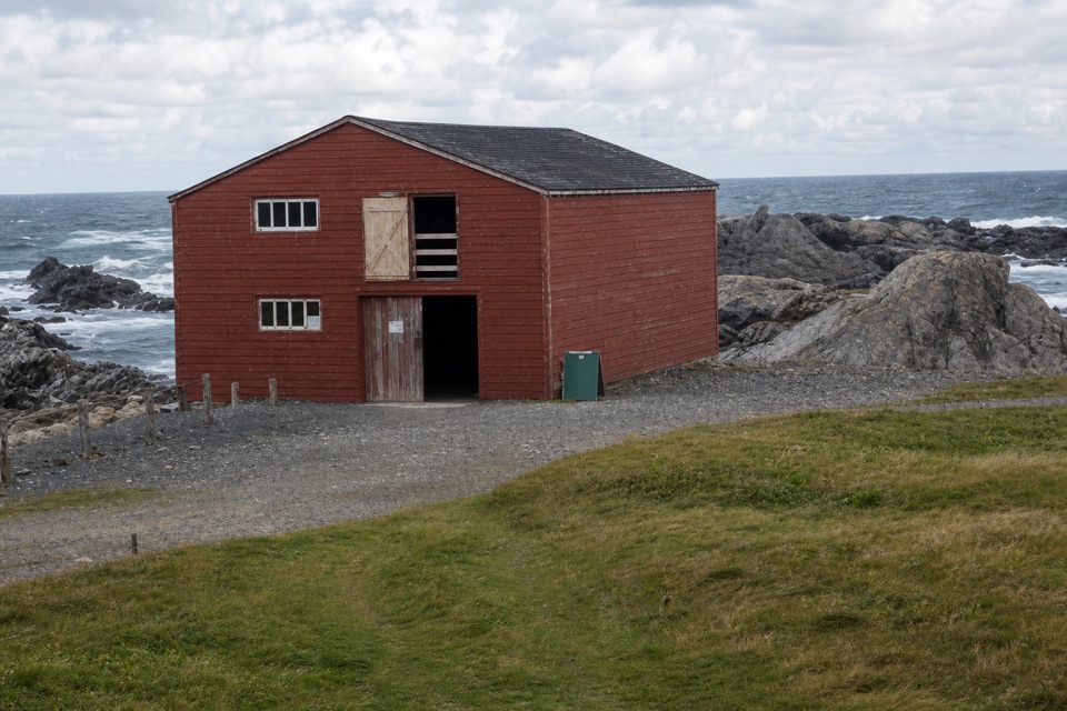
Trout River Pond Day Use Area in Gros Morne National Park

#9 of 22 sights in Gros Morne

Sight · Gros Morne National Park

Trout River Pond Day Use Area

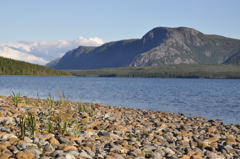
Paddle beneath the Tablelands or hike 14 km to the Narrows.

Photo: Wikimedia Commons
Type
Sight
Nearest trail
2.7 km
Audio stories
4 nearby
  • Trailhead

Hear the audio tour

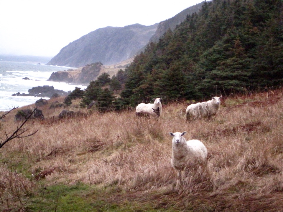
Why There Are Sheep by the Sea

Overview

About Trout River Pond Day Use Area

Why stop

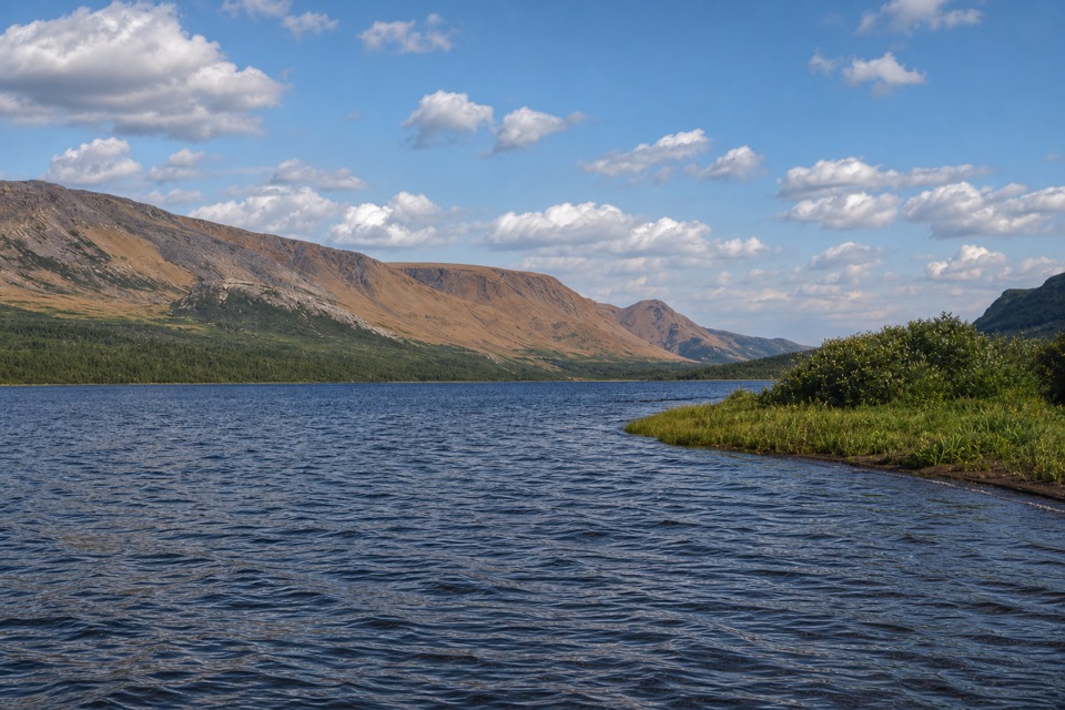
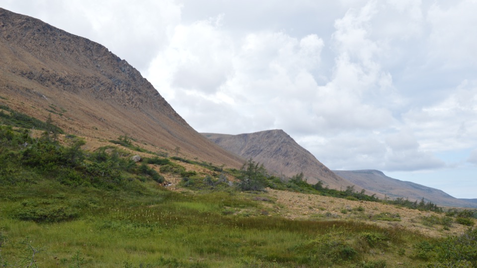
  • Tablelands and Gregory Plateau frame the pond

Heads up

  • Wind and cold water make inner-pond paddling demanding

Map

Where it is

Loading the Gros Morne map
Full map
SightTrout River Pond Day Use Area49.48130, -58.13600
Keep this map with you offline in the Parkwolf app

Plan your stop

Before you go

3 active Gros Morne alerts

  • CautionSwimmer’s itch reported at Trout River PondMentions Trout River Pond, referenced in this guideIf swimming at Trout River Pond, avoid areas where swimmer’s itch has been reported.Official details
  • ClosureGreen Gardens and Wallace Brook trail sections closedDo not enter the closed sections of the Green Gardens and Wallace Brook trails.Official details
See all 3 alerts
A park ranger sits on a dash-mounted phone, talking, as Parkwolf’s Tour Guide plays “Army Cutworm Moths: A Grizzly Bear Buffet” on Grand Loop Road below Dunraven Pass in Yellowstone
Parkwolf Tour GuideThe highest, rockiest slopes around here are a summer buffet for grizzly bears.

Gros Morne Tour Guide

Your drive to Trout River Pond Day Use Area, narrated.

Parkwolf is a GPS audio tour guide for Gros Morne National Park. As you drive, it chimes in with what’s ahead: hidden gems, upcoming stops, history, geology, and wildlife, right through your car’s speakers.

Recorded for this area

Why There Are Sheep by the Sea
0:00 / 0:27
“If you see sheep at Green Gardens, they have a longer connection to this coast than you might expect. Trout River residents used the cliff-top meadows as summer pasture, and sheep still graze there.”

Plays on the road 1.3 km from Trout River Pond Day Use Area in the Parkwolf Gros Morne Tour Guide.

More stories near here in the app

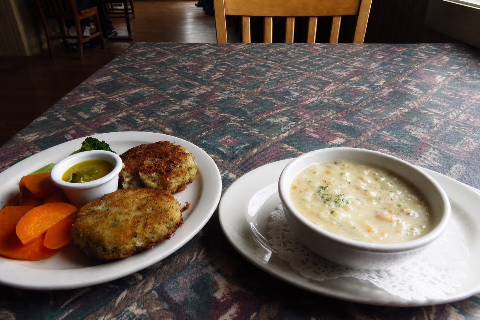
  • Trout River Waterfront and Seaside Restaurant
  • Trout River Pond Trail and the Narrows
  • The Berry Called Bakeapple
  • Give the Night Sky Time
  • 87 audio storiesacross Gros Morne’s roads, triggered by GPS as you drive
  • Wildlife heatmapsfor Moose, Caribou, Black Bear, and 13 more
  • Works offlinemaps, 25 trails, 58 places, and audio download before you lose signal
  • CarPlay readysimple controls built for the drive
★★★★★
“Fantastic app with many points of information… It’s great to just turn on while you’re driving and it gives you an audio tour of the national Park. We love it!!!!”
JMJamesApp Store review
Download Parkwolf on the App StoreGet Parkwolf on Google Play

4.7 from 8,600+ ratings

Guide

More about Trout River Pond Day Use Area

Start at the outer pondTrout River Pond Day Use Area is the access point at the pond’s outer end, beneath Gros Morne’s…

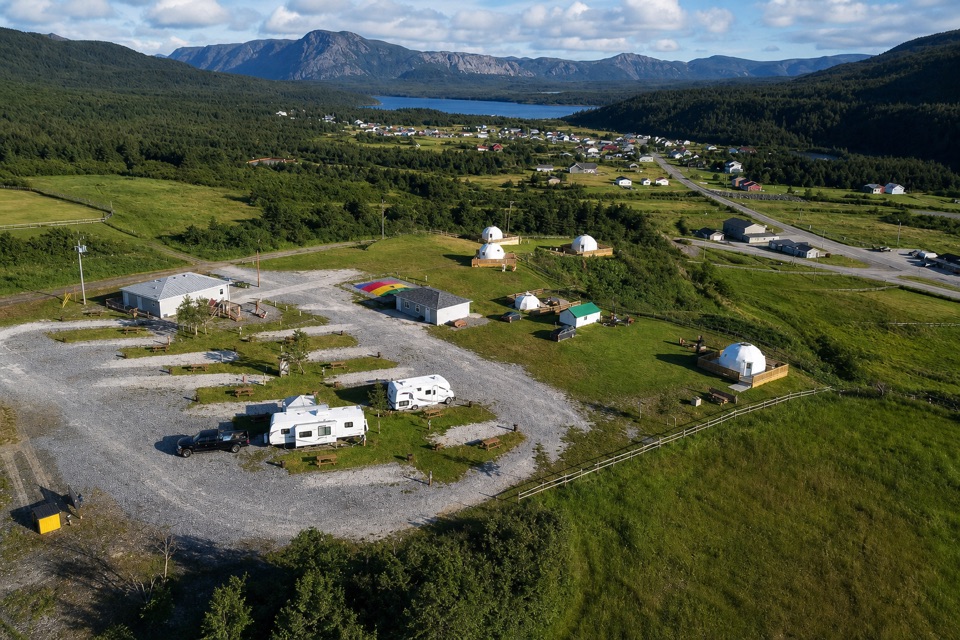
Trout River Pond Day Use Area is the access point at the pond’s outer end, beneath Gros Morne’s Tablelands. The launch is where paddlers set out on the outer pond, and it’s also the start of the Trout River Pond Trail. Pick a paddle for a closer look at the fjord lake, or save a half-day for the trail into the inner basin.

Paddle with the conditionsThis is the most accessible of Gros Morne’s fjord lakes, but the inner pond is a serious paddle.

This is the most accessible of Gros Morne’s fjord lakes, but the inner pond is a serious paddle. The north shore faces the Tablelands’ barren slopes; across the water, steep cliffs rise toward the forested Gregory Plateau. For the classic view, keep the pond in front with the Tablelands beyond it. Strong winds are frequent, and afternoon winds can funnel through the fjord walls. Parks Canada warns that conditions can trap paddlers in the inner pond. The water is cold enough for hypothermia to be a risk, and rockfall is common along the inner pond’s south shore. It’s not a sheltered float; match the route to your experience and the conditions.

Walk to the NarrowsThe Trout River Pond Trail is 14 km return, with 280 m of elevation gain; allow 4–5 hours.

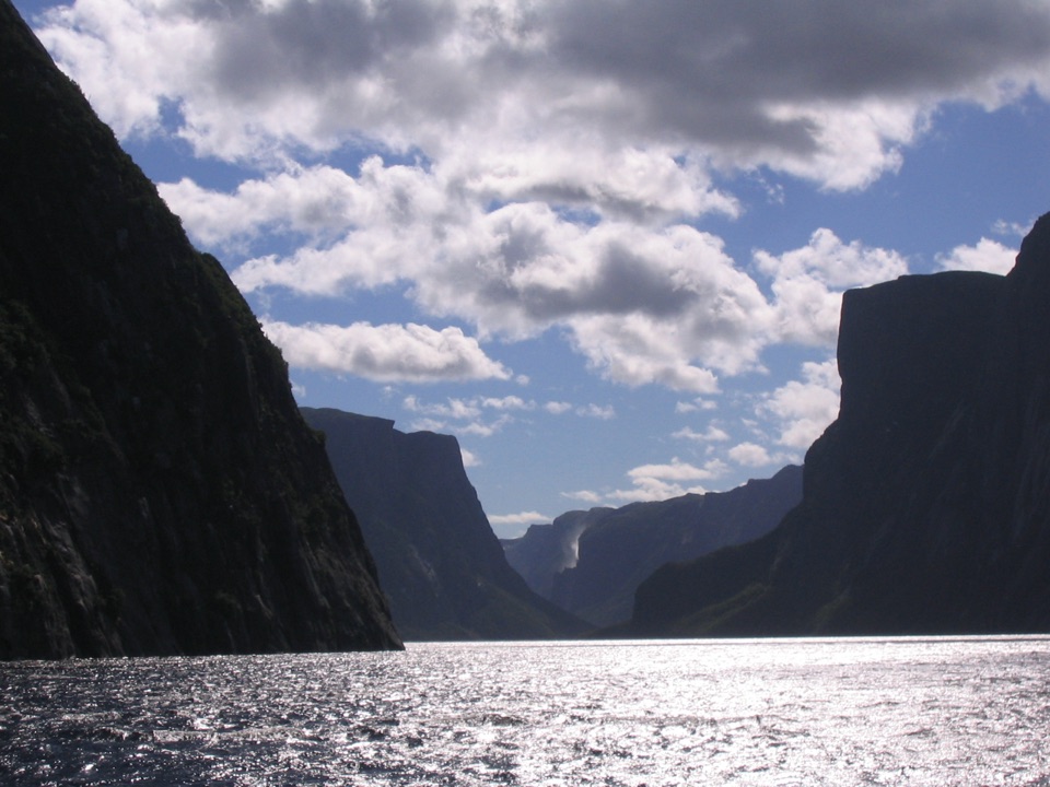
The Trout River Pond Trail is 14 km return, with 280 m of elevation gain; allow 4–5 hours. It starts through shaded boreal forest, then opens into larch scrub and serpentine barrens. At the Narrows, the outer and inner ponds meet below steep valley walls, with views into the glacial-carved inner pond valley. Patterned ground, erosion fans, calcium springs and arctic-alpine plants make the upper section feel very different from the forest start. Come for the trail if you want a substantial half-day walk and the changing landscape, not just a quick stop at the launch.

Wildlife

Wildlife in Gros Morne

All Gros Morne wildlife maps

Sighting maps show where each species has been reported across Gros Morne. Wildlife moves, so no sighting is guaranteed.

Parkwolf’s Gros Morne ranking

Top sights in Gros Morne

All 58 places
  1. 1Western Brook PondSight
  2. 2The TablelandsSight
  3. 3Gros Morne MountainSight
  4. 4Lobster Cove Head LighthouseSight
  5. 5Shallow Bay BeachBeach
  6. 6Broom Point Fishing PremisesSight

Take Parkwolf to Gros Morne.

The audio tour guide for the drive, plus offline maps, trails, and wildlife heatmaps for when the signal drops.

4.7 from 8,600+ ratings

Download Parkwolf on the App StoreGet Parkwolf on Google Play