Parking
Start at the Trout River Pond day-use area; follow signs to the day-use access from Main Street. The separate Trout River Campground is not the trailhead. A Gros Morne National Park entry pass is required.
#8 of 25 trails in Gros Morne
Gros Morne National Park, NL
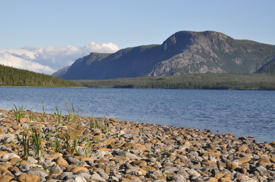
Follow the north shore to Tablelands barrens and a glacial valley.
Overview
Map & elevation
Plan your hike

The highest, rockiest slopes around here are a summer buffet for grizzly bears.
Gros Morne Tour Guide
Parkwolf is a GPS audio tour guide for Gros Morne National Park. As you drive, it chimes in with what’s ahead: hidden gems, upcoming stops, history, geology, and wildlife, right through your car’s speakers.
Recorded for this trailhead
Trout River Pond Trail and the Narrows“You're approaching the Trout River Pond day-use area, start of a fourteen-kilometre return hike.”
Plays as you drive up to this trailhead in the Parkwolf Gros Morne Tour Guide.
More stories near here in the app
“Fantastic app with many points of information… It’s great to just turn on while you’re driving and it gives you an audio tour of the national Park. We love it!!!!”


Trail guide
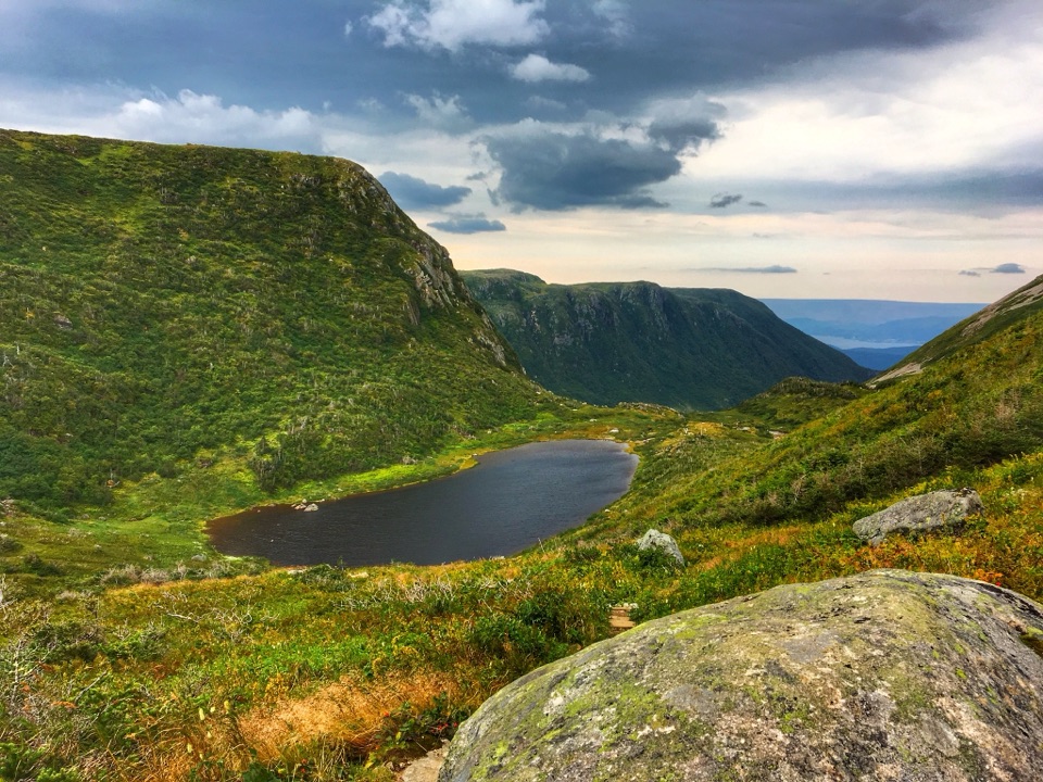
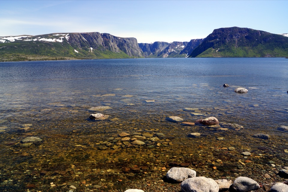
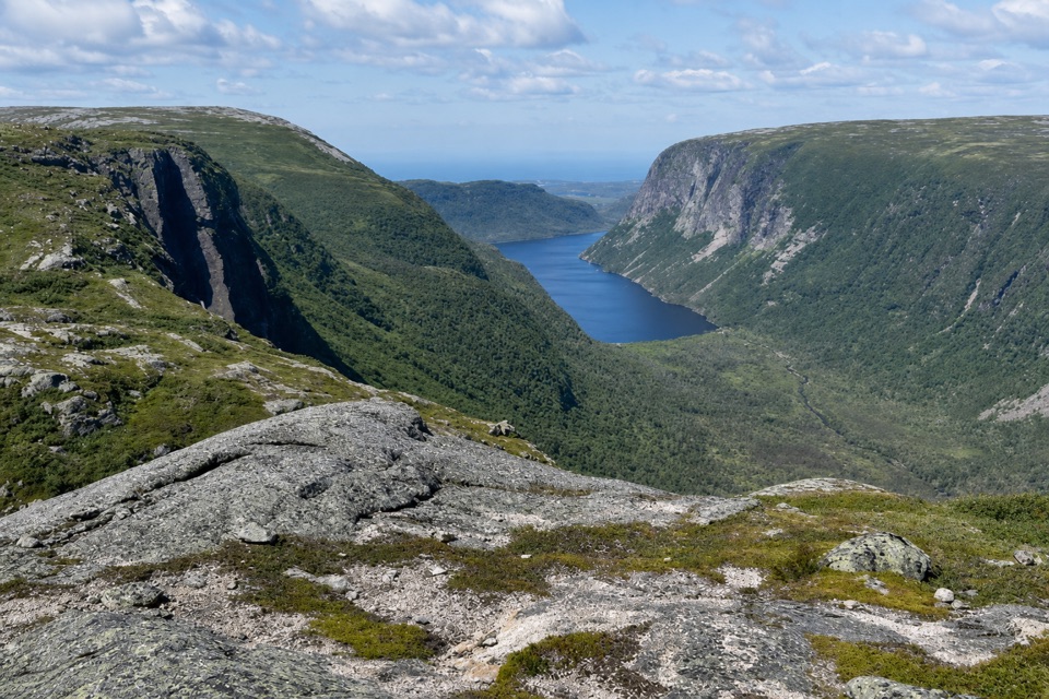
Trout River Pond Trail is a 14 km (8.7 mile) out-and-back from the Trout River Pond day-use area along the pond’s north shore to the Narrows and a view into Trout River Inner Pond’s steep-sided, carved by glaciers valley. The first half passes through shaded boreal forest; at the far end the route opens onto the bare Tablelands barrens. The park rates it moderate and estimates four to five hours, with about 280 m of cumulative climbing. This is a half-day walk whose reward comes after several kilometres, not a short stroll to one overlook. You retrace the same route on the way back, so save time and energy for the forest section after the viewpoint.
Follow the trail east from the day-use access, close along the north shore of Trout River Pond. For much of the first half, trees enclose the path; the water appears through openings rather than as an uninterrupted beach walk. Reports describe the shaded ground as wet and muddy, and the early section can ask more of your feet than the gentle grade suggests. At a small river crossing, the surroundings begin to change: trees thin, larch scrub replaces the denser forest, and rocky tread leads toward open country. In the barren stretches, the route is marked with stones rather than a continuous built surface, so look for the markers where bare rock makes the footway less distinct. Views of the pond’s barachois open behind you as the forest recedes.
Beyond the forest, you are on the Tablelands’ serpentine barrens: rock, low larch scrub, patterned ground, erosion fans and calcium springs, with arctic-alpine plants adapted to this terrain. The footing changes as the trees drop away, and the open slope gives longer views over the water and surrounding land. Stay on the marked route as you look at these details; the plants are easy to miss in the broad landscape. The path continues to the Narrows, where the inner and outer ponds meet, then faces into the steep walls of Trout River Inner Pond’s carved by glaciers valley. This is the named destination and turning point, not an exit to another access. For a useful phone photo, keep water in the foreground and frame the gap between the ponds with the valley behind it; that shows both the narrow connection and the scale of the landforms.
Start at the Trout River Pond day-use area and follow signs from Main Street. The nearby Trout River Campground is separate; it is not this trail’s starting access. A Gros Morne National Park entry pass is required. Food and potable water along the route were not verified, and toilets at the day-use area were not confirmed, so carry what you need for the full outing. Dogs must remain leashed under the park’s rules, and visitors should check trailhead notices for any area restrictions. The return retraces the same shore and forest, so start with enough daylight and energy for both halves.
Wildlife
 252 sightingsMooseMost seen around 7 AMSighting map
 120 sightingsCaribouMost seen around 7 AMSighting map
 22 sightingsBlack BearMost seen around 7 PMSighting map
 61 sightingsBald EagleMost seen around 7 AMSighting map
 11 sightingsCommon Minke WhaleMost seen around noonSighting map
 70 sightingsHarbor SealMost seen around noonSighting map
Sighting maps show where each species has been reported across Gros Morne. Wildlife moves, so no sighting is guaranteed.
Keep exploring
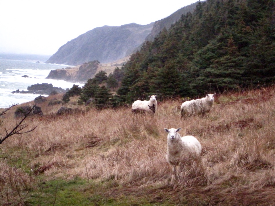 ModerateGreen Gardens Trail9 km · 3.5 hr · 4.4 km awaySerpentine barrens give way to sea stacks, meadows, and a pebble beach.
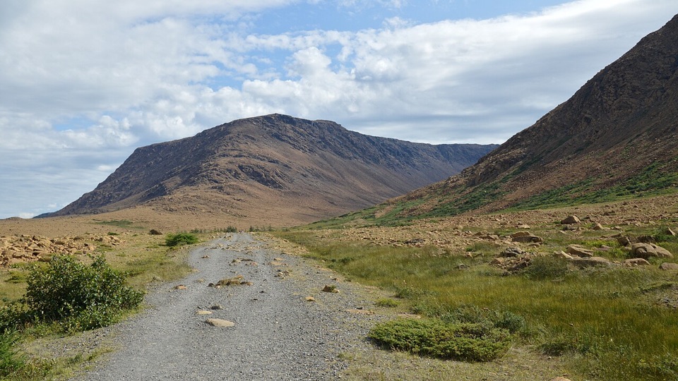 EasyTablelands Trail4 km · 1.5 hr · 10.5 km awayA short roadbed walk past mantle rock to a glacial canyon.
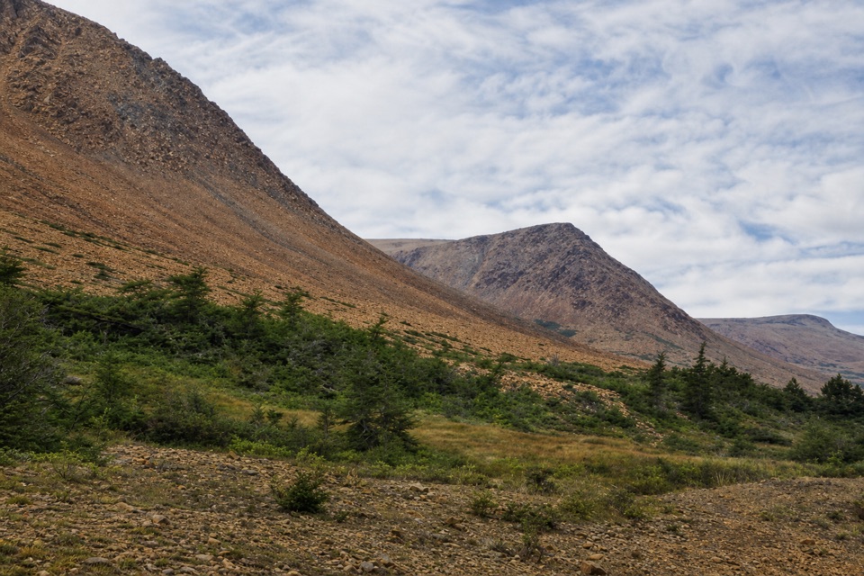 EasySerpentine Loop0.7 km · 30 min · 10.5 km awayA winding path through mantle rock and tiny Tablelands plants.
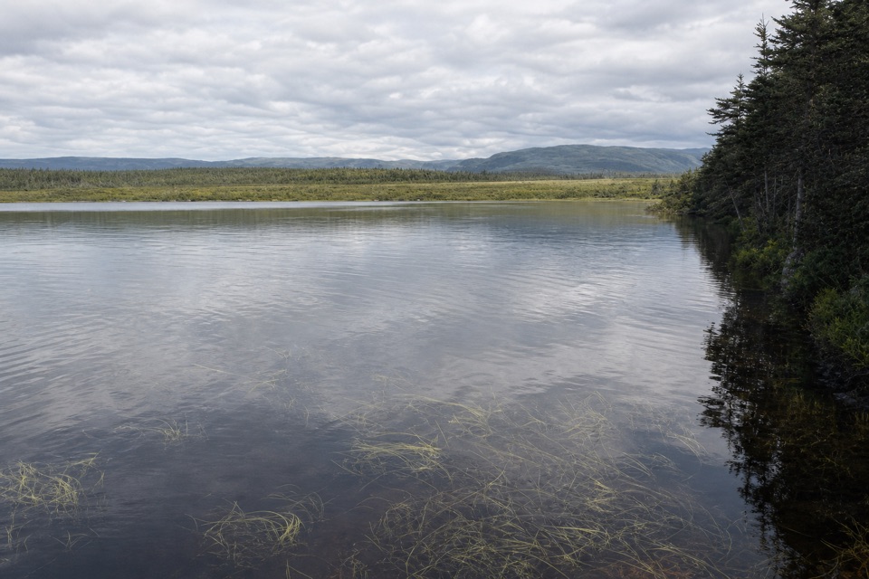 EasyBerry Head Pond Trail2 km · 45 min · 22.6 km awayA short boardwalk gives way to a quiet pond loop.
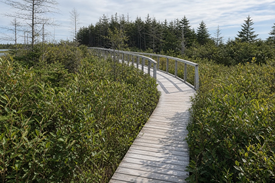 EasyBerry Head Pond Trail: Wheelchair Accessible Section0.7 km · 20 min · 22.6 km awayA short boardwalk opens onto pond and bogland views.
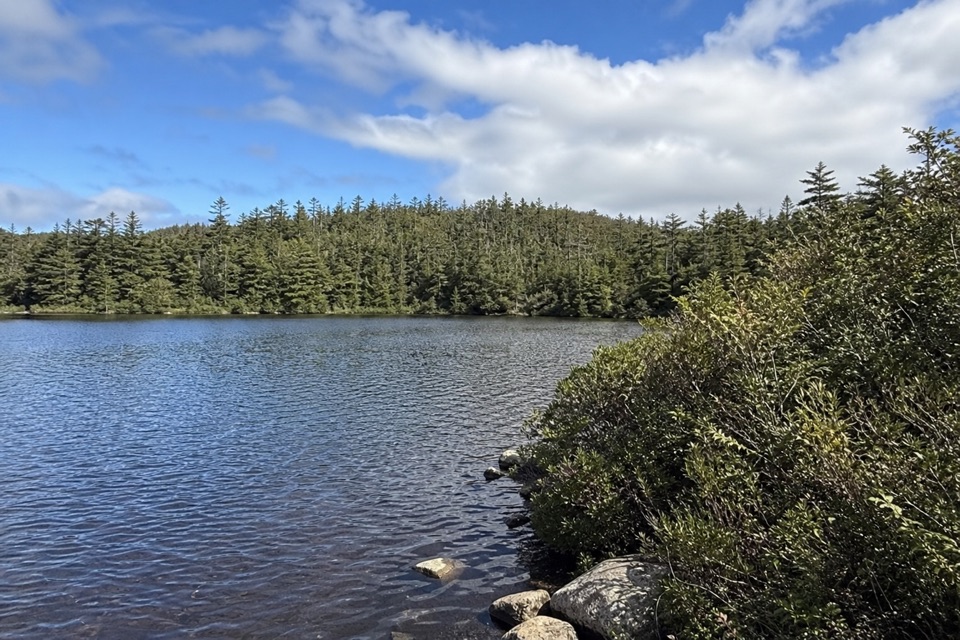 EasyLittle Pond Loop4.2 km · 1.5 hr · 22.6 km awayA wooded pond loop off Baker’s Brook’s waterfall trail.
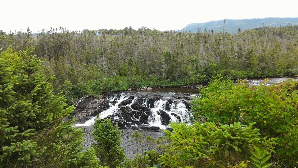 ModerateBaker's Brook Falls Trail10 km · 2.5 hr · 22.6 km awayA quiet forest walk ends at limestone staircase cascades.
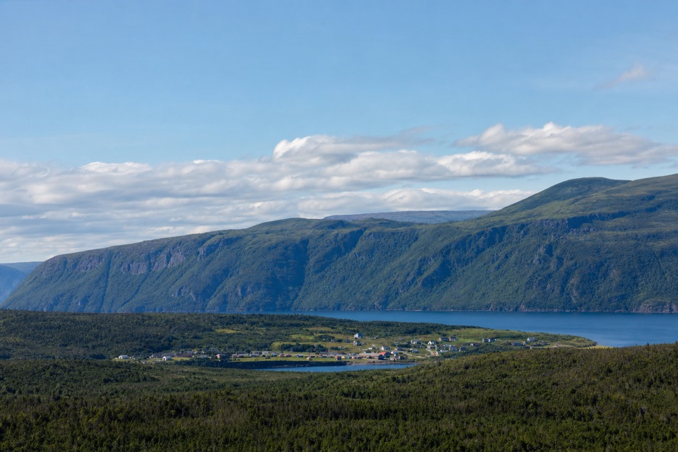 ModerateBerry Hill Trail1.5 km · 45 min · 22.6 km awaySteep little climb, wide views over ponds and coastal lowlands
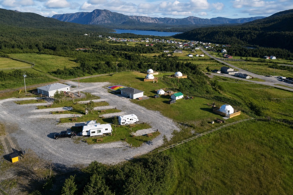 Campground · 1.4 km awayElephants Head RV Park & Gros Morne GlampingA bluffside base for RVs, tents and small glamping stays.
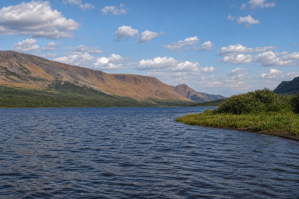 Campground · 1.6 km awayTrout River CampgroundCamp among the trees, with the Tablelands across Trout River Pond.
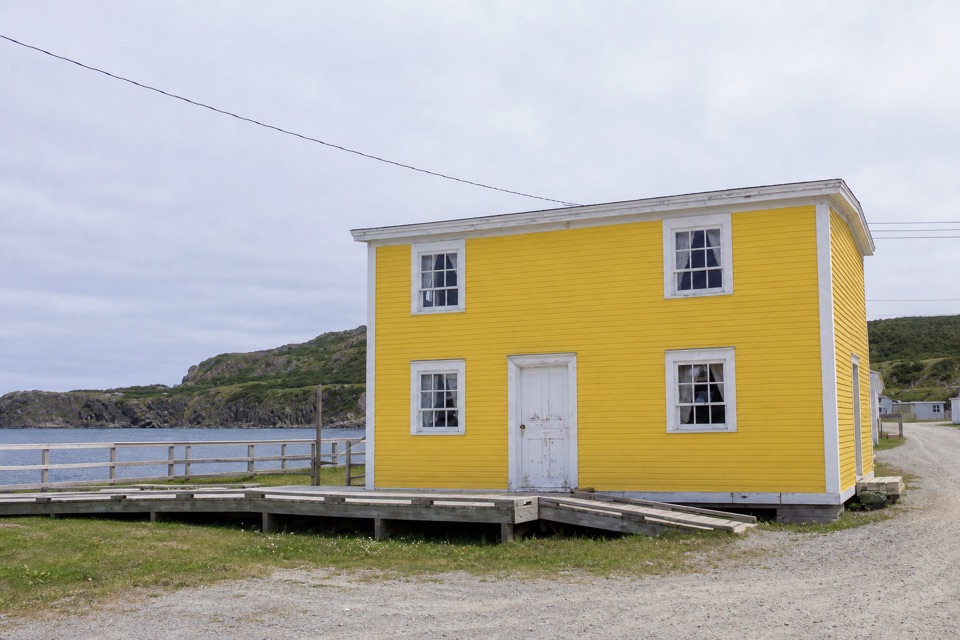 Sight · 2.4 km awayJacob A. Crocker HouseA furnished fisherman's home ties one family to Trout River's fishing past.
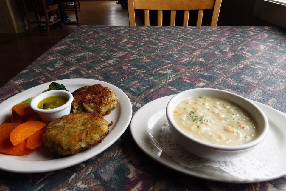 Restaurant · 2.4 km awaySeaside RestaurantA family-run seafood stop with a Gulf view in Trout River.
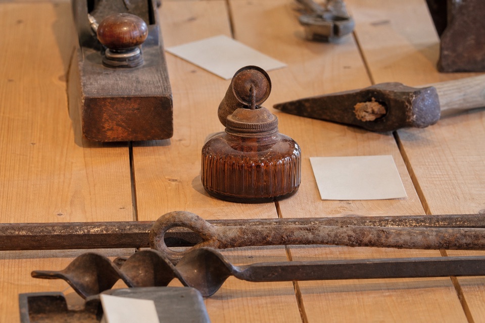 Sight · 2.5 km awayTrout River Interpretation CentreA small museum for Trout River's fishing stories and landforms.
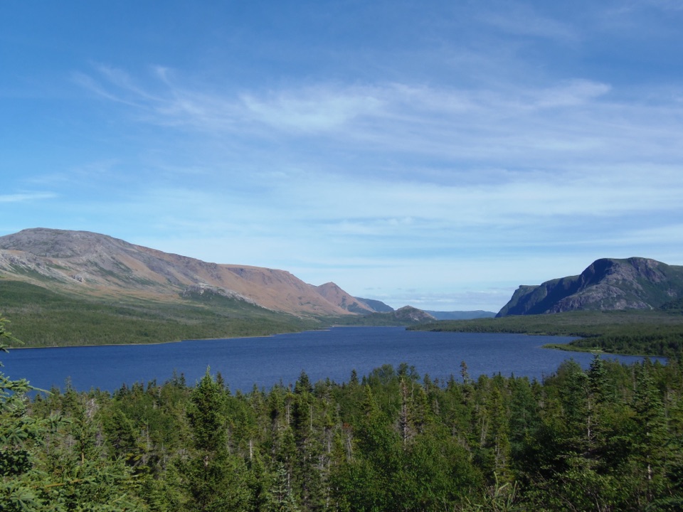 Sight · 2.7 km awayTrout River Pond Day Use AreaPaddle beneath the Tablelands or hike 14 km to the Narrows.
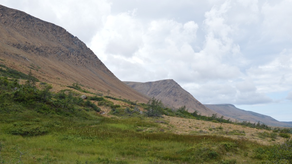 Sight · 10.5 km awayThe TablelandsWalk exposed mantle rock to a glacial canyon.
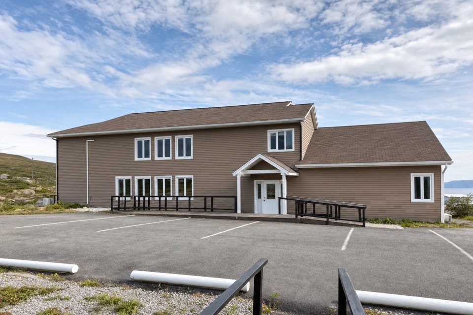 Lodging · 13.6 km awayGros Morne InnA 15-room base with mountain views, hot tubs and seafood dining.
Parkwolf’s Gros Morne ranking

The audio tour guide for the drive, plus offline maps, trails, and wildlife heatmaps for when the signal drops.