Parking
Park at Kūkamāhuākea (Steam Vents) on Crater Rim Drive; the west-side, wheelchair-accessible trail entrance is across the road.
#7 of 33 trails in Hawaiʻi Volcanoes
Hawaiʻi Volcanoes National Park, HI
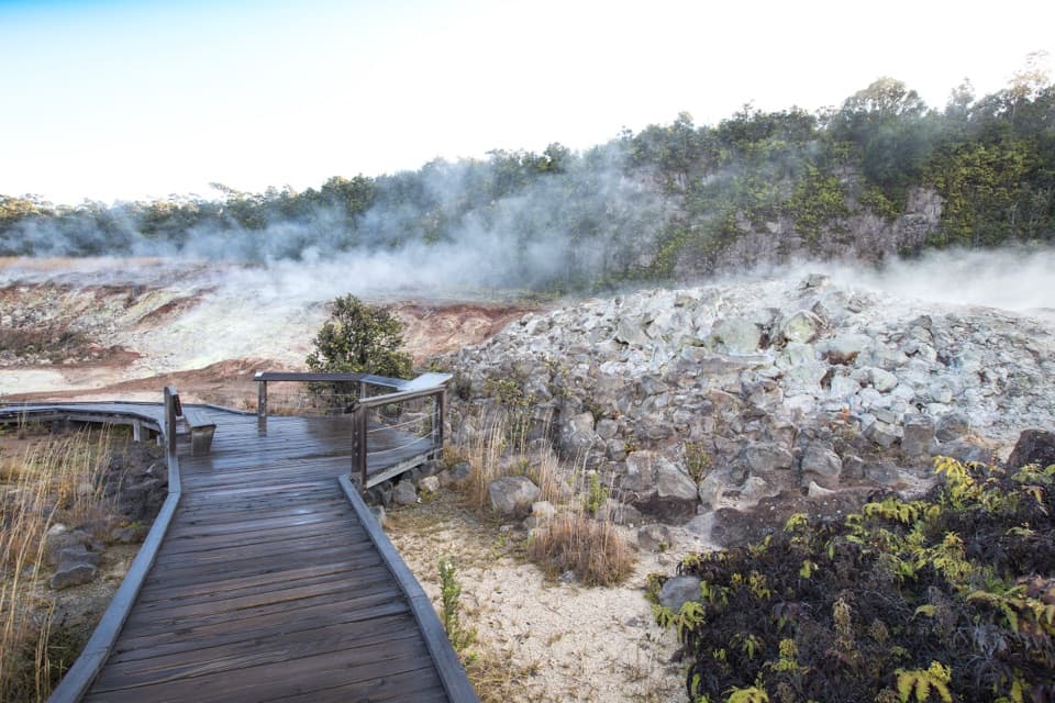
A short boardwalk walk past yellow sulfur and rising steam.
Overview
Map & elevation
Plan your hike

The highest, rockiest slopes around here are a summer buffet for grizzly bears.
Hawaiʻi Volcanoes Tour Guide
Parkwolf is a GPS audio tour guide for Hawaiʻi Volcanoes National Park. As you drive, it chimes in with what’s ahead: hidden gems, upcoming stops, history, geology, and wildlife, right through your car’s speakers.
See the Hawaiʻi Volcanoes audio tourRecorded for this trailhead
Steam Vents and Sulphur Banks: Two Short Walks“You're nearing the Steam Vents parking area, with access to Wahinekapu and the Sulphur Banks. For a quick stop, walk about five hundred feet to Wahinekapu for steam and a caldera view.”
Plays as you drive up to this trailhead in the Parkwolf Hawaiʻi Volcanoes Tour Guide.
More stories near here in the app
“Fantastic app with many points of information… It’s great to just turn on while you’re driving and it gives you an audio tour of the national Park. We love it!!!!”


Trail guide
Haʻakulamanu (Sulphur Banks) is an easy, 1.2-mile out-and-back from the west-side entrance across Crater Rim Drive from Kūkamāhuākea (Steam Vents) parking. Paved tread and a wooden boardwalk lead to an open field of steam vents and mineral-colored ground, then you return the same way. Allow 30–45 minutes. This is a close-up geology walk, not a strenuous hike or a route to a crater overlook; its appeal is seeing heat and gas working at ground level.
The accessible entrance sits across the road from Steam Vents parking. The path passes through a short stand of trees before opening onto pale, yellow and red-brown banks. Wooden boardwalk carries you beside several vents, with stretches of paved path between; the route is easy to follow and nearly level. Interpretive signs help make sense of what you are seeing. Treat the Sulphur Banks area as the destination: look around from the boardwalk, then retrace your steps. A photo that includes the boards, rising steam and colored ground shows the setting better than a close crop of sulfur alone.
Nearby Kūkamāhuākea (Steam Vents) releases water vapor after groundwater seeps down to hot rock and returns as steam. At Haʻakulamanu, water vapor rises with volcanic gases from deeper cracks. Sulfur dioxide has a sharp, struck-match smell; hydrogen sulfide smells like rotten eggs. Visitors often notice the odor, though its strength can vary. The gases are part of the geology, not just an unpleasant smell to ignore.
Some sulfur-bearing gases react to form pure yellow crystals; others make sulfuric acid that changes the lava into clay. Iron oxide stains the altered ground red and brown. In 1922, scientists drilled two holes nearby and measured 205°F (96°C) at 50 feet (15 m), the greatest depth they reached; that is an underground reading, not the temperature of the path. Visitors gave the place its English name in the early 1800s, using the British spelling Sulphur. Its Hawaiian name, kūkaepele, is glossed as “the waste of Pele.”
Park guidance says people with heart or respiratory conditions, including asthma, pregnant people, infants and young children should avoid this walk because of volcanic gases. Check air-quality information before setting out; do not use the smell alone to judge exposure. Pets are not allowed. There is no separate activity fee or reservation, but park admission applies. This is a worthwhile short stop if you want an accessible look at active volcanic deposits and signs explaining them; hikers looking for a long walk or a broad crater view may prefer another route.
Wildlife
 600 sightingsHawaiian Goose (Nēnē)Most seen around 5 PMSighting map
 35 sightingsGreen Sea TurtleMost seen around 11 AMSighting map
 36 sightingsHawaiian Hawk ('Io)Most seen around 11 AMSighting map
 41 sightingsBlack NoddyMost seen around 5 PMSighting map
 96 sightingsWhite-tailed TropicbirdMost seen around noonSighting map
 24 sightingsHawai'i 'ElepaioMost seen around 8 AMSighting map
Sighting maps show where each species has been reported across Hawaiʻi Volcanoes. Wildlife moves, so no sighting is guaranteed.
Keep exploring
 ModerateHalemaʻumaʻu Trail1.6 mi · 1.5 hr · 0.5 mi awayA short rainforest descent opens onto Kīlauea’s caldera floor.
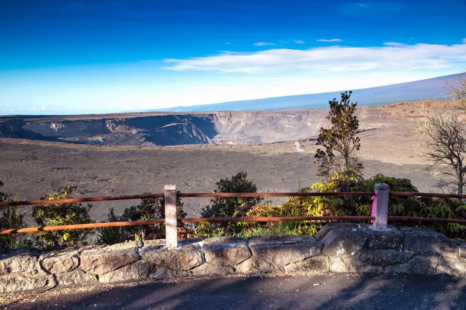 EasyKūpinaʻi Pali (Waldron Ledge) Trail1.2 mi · 54 min · 0.5 mi awayA short paved route to a broad caldera view
 EasyCrater Rim Trail3.8 mi · 2 hr · 1.2 mi awayA 3.8-mile out-and-back from Kīlauea Overlook to Volcano House.
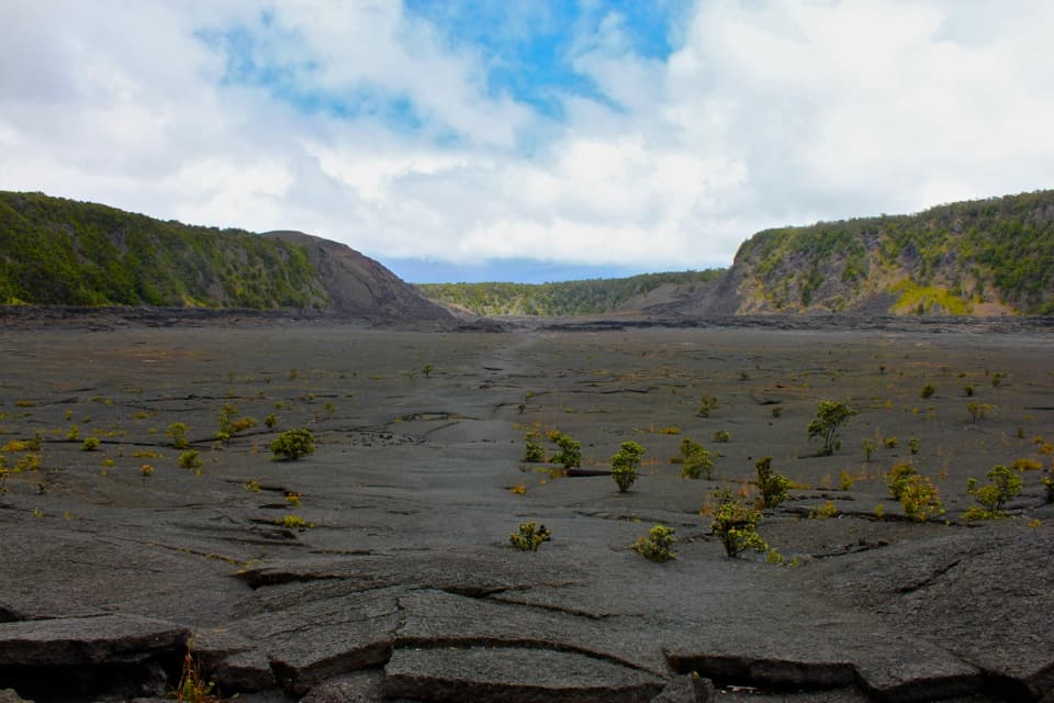 ModerateKīlauea Iki Trail3.3 mi · 2.5 hr · 1.9 mi awayCross a solidified lava lake beneath Puʻupuaʻi
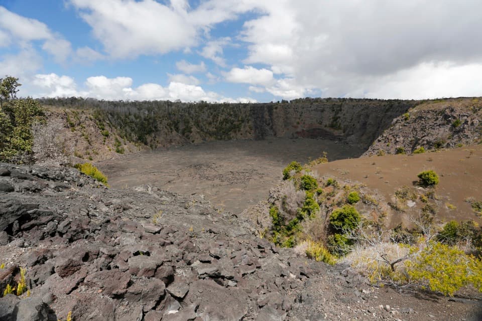 EasyKeanakākoʻi Crater Trail2 mi · 1.3 hr · 1.9 mi awayAn easy walk on a former road reaches a 115-foot crater.
 ModerateUēaloha (Byron Ledge) Trail2.2 mi · 1.5 hr · 1.9 mi awayOpen cinder, forested ledge, and views of Puʻupuaʻi.
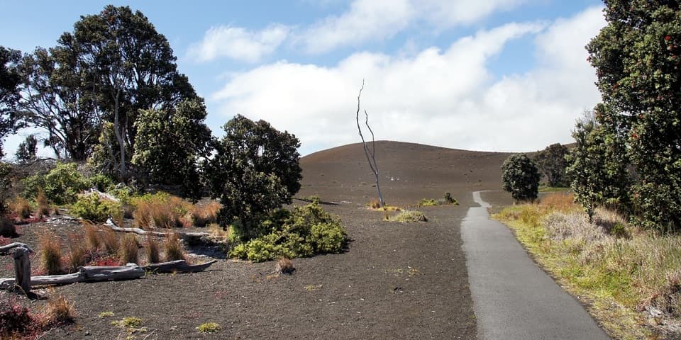 EasyDevastation Trail1 mi · 1 hr · 2 mi awayA short paved walk through cinder from Kīlauea Iki’s 1959 eruption.
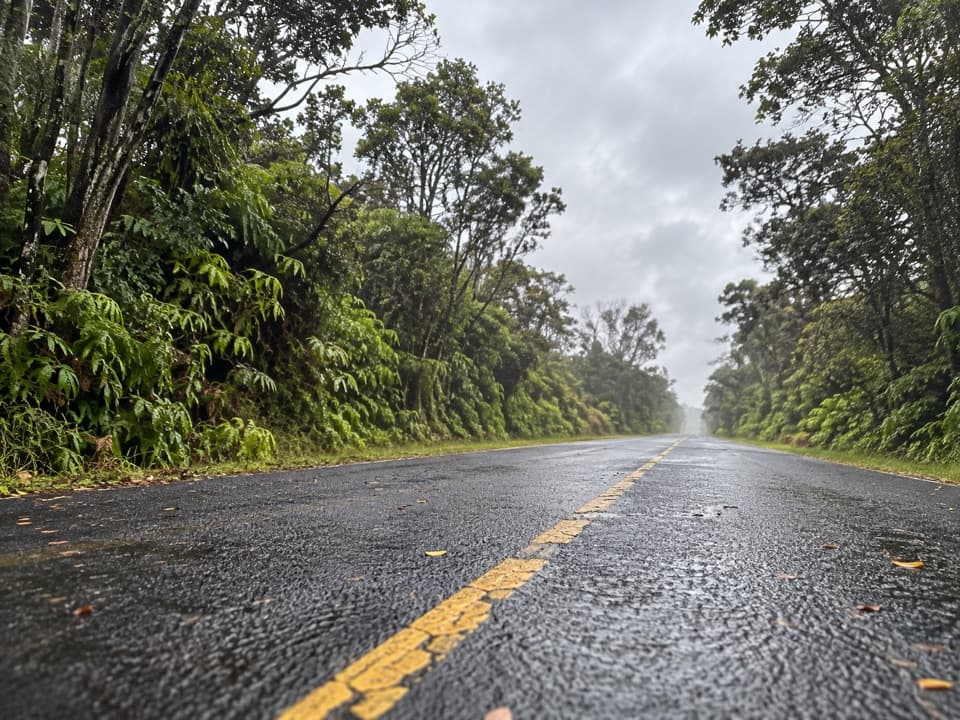 EasyEscape Road Trail3.8 mi · 2 hr · 2.2 mi awayA gentle forest descent from Nāhuku toward Mauna Ulu.
 Sight · At the trailheadKūkamāhuākea Steam Vents and WahinekapuA short walk pairs summit steam with a view into Kīlauea's caldera.Sight · 0.4 mi awayHaʻakulamanu (Sulphur Banks)A short walk to yellow sulfur, altered rock and rising steam.
 Lodging · 0.4 mi awayKīlauea Military Camp (KMC)Lodging, dining and recreation at a historic park camp.
 Visitor center · 0.4 mi awayWelcome CenterA helpful stop for trail advice, maps and a park-store browse.
 Sight · 0.6 mi awayKaʻaueaA raised hula platform and traditional hale facing Halemaʻumaʻu.
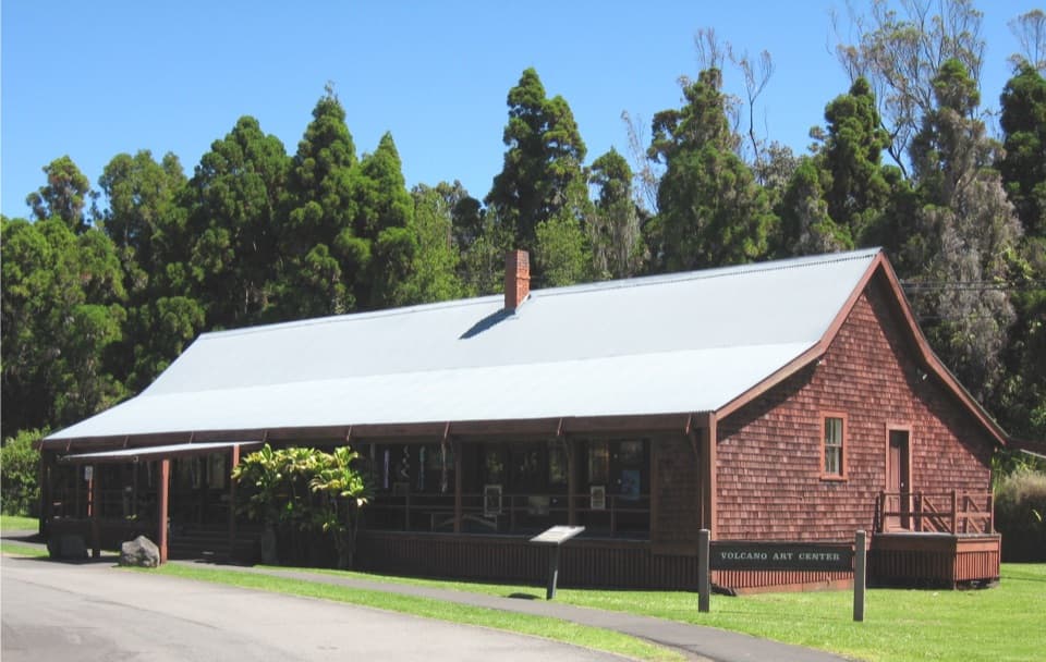 Sight · 0.6 mi awayVolcano Art Center Gallery (1877 Volcano House)Local art fills a small gallery inside Kīlauea’s 1877 hotel.
 Lodging · 0.6 mi awayVolcano HouseA historic hotel on Kīlauea’s rim, with the caldera at the table.
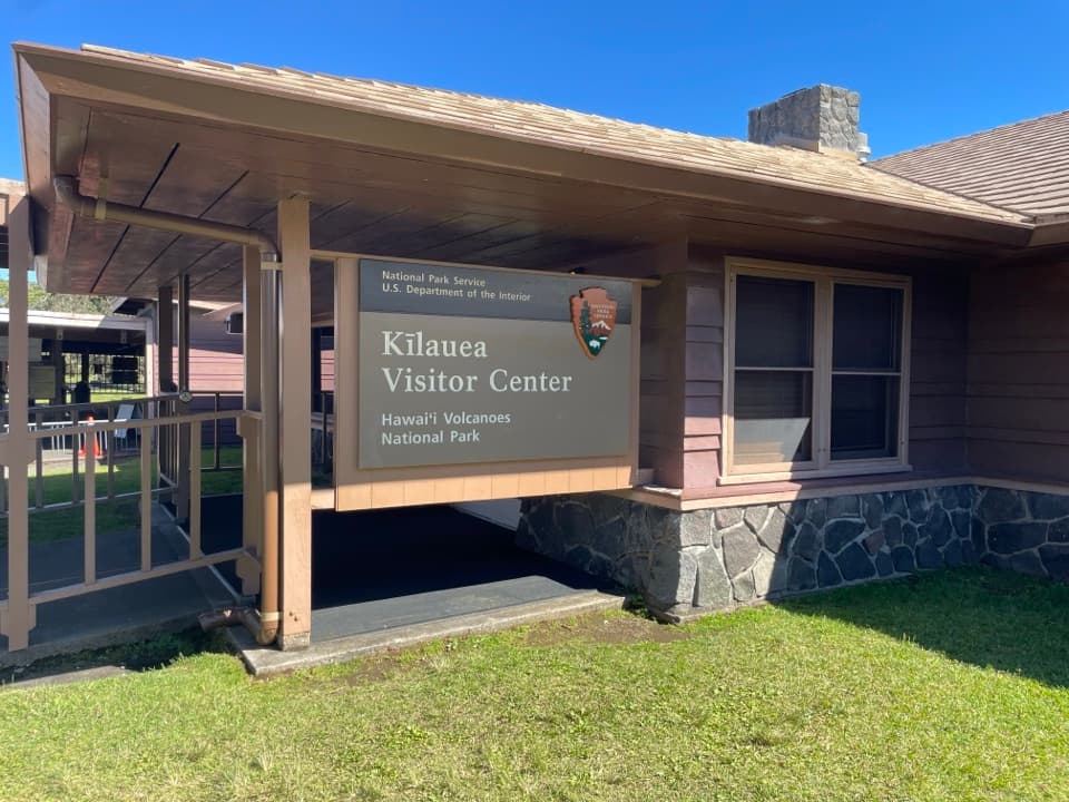 Visitor center · 0.7 mi awayKīlauea Visitor CenterStart here to plan a day around Kīlauea summit.
Parkwolf’s Hawaiʻi Volcanoes ranking

The audio tour guide for the drive, plus offline maps, trails, and wildlife heatmaps for when the signal drops.