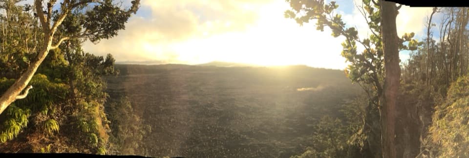
Nāpau Crater in Hawaiʻi Volcanoes National Park

Sight · Hawaiʻi Volcanoes National Park

Nāpau Crater

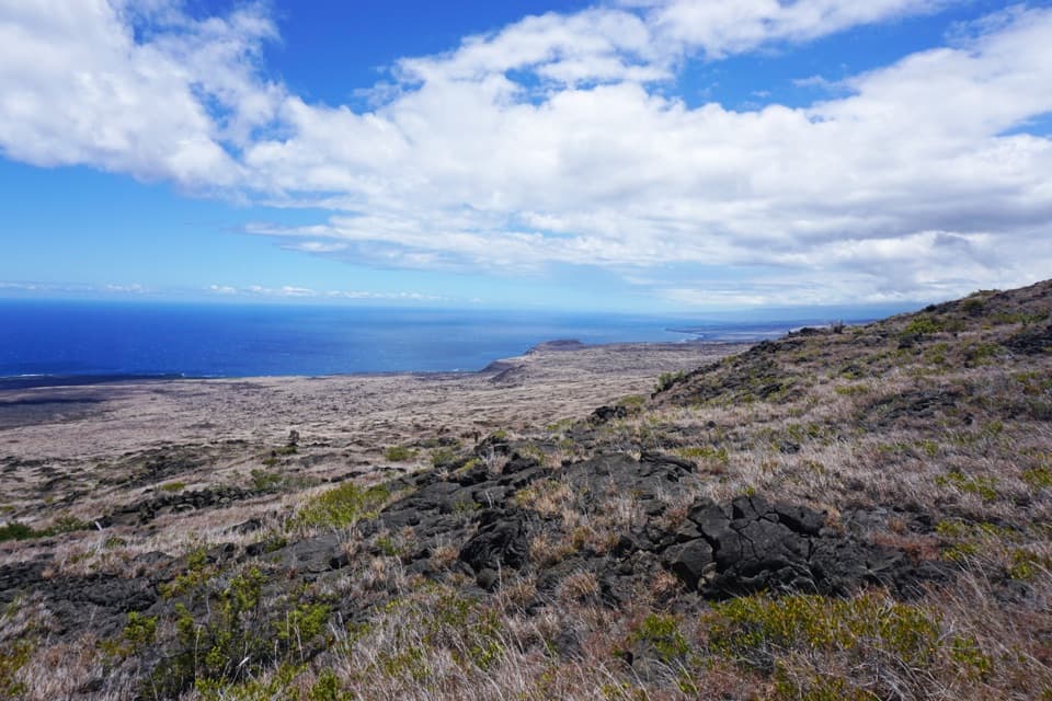
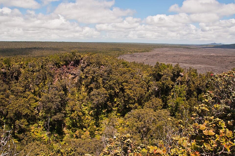
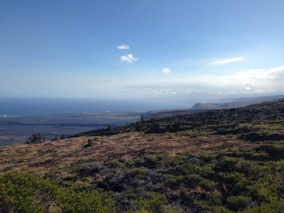
Reach Nāpau Crater by a strenuous hike over lava and through rainforest.

Photo: Wikimedia Commons
Type
Sight
Nearest trail
4.1 mi
  • Campground

Hear the audio tour

Maunaulu: Walk to Puʻuhuluhulu

Overview

About Nāpau Crater

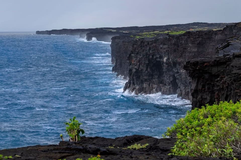
Nāpau Crater is a remote crater-rim destination in Kīlauea’s East Rift Zone, reached only on foot. Go for a demanding geology hike through young lava and rainforest to a volcanic landscape; skip it if you’re looking for an easy overlook. The trail is rough and there’s no drinking water or food service along the way.

Why stop

  • The approach crosses young lava, pit craters and rainforest before reaching the crater rim.

Heads up

  • It’s a long, rough hike with no drinking water or food service along the route.

Map

Where it is

Loading the Hawaiʻi Volcanoes map
Full map
SightNāpau Crater19.37377, -155.14293
Keep this map with you offline in the Parkwolf app

Plan your stop

Before you go

5 active Hawaiʻi Volcanoes alerts

  • ClosureStorm-damage closures at Kahuku, Kīpukapuaulu, and Sulphur BanksStorm damage and hazardous trees continue to restrict access at Kahuku and Kīpukapuaulu; the damaged Sulphur Banks Bridge is closed.Official details
  • ClosureWork closures on Hilina Pali and Mauna Loa roadsRoad work is restricting motorized and all-use access on portions of Hilina Pali Road and Mauna Loa Road.Official details

See all 5 alerts
A park ranger sits on a dash-mounted phone, talking, as Parkwolf’s Tour Guide plays “Army Cutworm Moths: A Grizzly Bear Buffet” on Grand Loop Road below Dunraven Pass in Yellowstone
Parkwolf Tour GuideThe highest, rockiest slopes around here are a summer buffet for grizzly bears.

Hawaiʻi Volcanoes Tour Guide

Your drive to Nāpau Crater, narrated.

Parkwolf is a GPS audio tour guide for Hawaiʻi Volcanoes National Park. As you drive, it chimes in with what’s ahead: hidden gems, upcoming stops, history, geology, and wildlife, right through your car’s speakers.

See the Hawaiʻi Volcanoes audio tour

Recorded for this place

Maunaulu: Walk to Puʻuhuluhulu
0:00 / 0:28
“You're approaching the Maunaulu trailhead, where a walk to Puʻuhuluhulu gives you a view across the lava landscape from a wooded cone.”

Plays as you drive up to Nāpau Crater in the Parkwolf Hawaiʻi Volcanoes Tour Guide.

More stories near here in the app

  • Kealakomo: The Village Beneath the Lava
  • Nēnē: Feet for Lava
  • A Hatchling's First Direction
  • One Park, Different Weather
  • 58 audio storiesacross Hawaiʻi Volcanoes’s roads, triggered by GPS as you drive
  • Wildlife heatmapsfor Hawaiian Goose (Nēnē), Green Sea Turtle, Hawaiian Hawk ('Io), and 13 more
  • Works offlinemaps, 33 trails, 53 places, and audio download before you lose signal
  • CarPlay readysimple controls built for the drive
★★★★★
“Fantastic app with many points of information… It’s great to just turn on while you’re driving and it gives you an audio tour of the national Park. We love it!!!!”
JMJamesApp Store review
Download Parkwolf on the App StoreGet Parkwolf on Google Play

4.7 from 8,600+ ratings

Guide

More about Nāpau Crater

Choose your approachFrom Nāulu Trailhead on Chain of Craters Road, the crater is 5.

From Nāulu Trailhead on Chain of Craters Road, the crater is 5.2 miles one way; from Maunaulu parking it’s 6.2. Budget about 30 minutes per mile, plus stops. Rough lava slows the hike, and the stone cairns (ahu) can be hard to pick out from the rock in mist or rain. Bring enough water for the whole route and keep an eye on the markers.

Walk the East Rift ZoneThe trail crosses Maunaulu’s 1969–1974 flows, with lava channels, pit craters and lava trees,…

The trail crosses Maunaulu’s 1969–1974 flows, with lava channels, pit craters and lava trees, then enters tree-fern rainforest. Nāpau sits in Kīlauea’s East Rift Zone, along the underground path magma once traveled from the summit toward Puʻuʻōʻō. The contrast between young lava and dense forest makes this more than a long walk to a crater.

A pulu station along the trailStone walls from the 19th-century Nāpau pulu-processing station remain beside the route.

Stone walls from the 19th-century Nāpau pulu-processing station remain beside the route. Pulu, a soft fiber harvested from hāpuʻu tree ferns, was used as mattress stuffing. The station was likely abandoned around 1867 as overharvesting depleted the ferns.

Overnight near the overlookA small campsite near the overlook has room for two tents, and overnight camping requires a…

A small campsite near the overlook has room for two tents, and overnight camping requires a backcountry permit. The September 2024 eruption buried most former campsites and the pit toilet; the surviving camp has no pit toilet; waste disposal is cathole only. There’s no drinking water at the crater or along the trail.

Wildlife

Wildlife in Hawaiʻi Volcanoes

All Hawaiʻi Volcanoes wildlife maps

Sighting maps show where each species has been reported across Hawaiʻi Volcanoes. Wildlife moves, so no sighting is guaranteed.

Parkwolf’s Hawaiʻi Volcanoes ranking

Top sights in Hawaiʻi Volcanoes

All 53 places
  1. 1UēkahunaSight
  2. 2Nāhuku Lava TubeSight
  3. 3Kīlauea OverlookSight
  4. 4Puʻuloa PetroglyphsSight
  5. 5Hōlei Sea ArchSight
  6. 6Kīlauea Iki OverlookSight

Take Parkwolf to Hawaiʻi Volcanoes.

The audio tour guide for the drive, plus offline maps, trails, and wildlife heatmaps for when the signal drops.

4.7 from 8,600+ ratings

Download Parkwolf on the App StoreGet Parkwolf on Google Play