Parking
Start at the Maunaulu parking area on Chain of Craters Road, reached by a short spur. The marked trail begins about 100 yards beyond the lot. There is no drinking water at the trailhead.

#3 of 33 trails in Hawaiʻi Volcanoes
Hawaiʻi Volcanoes National Park, HI
Cross 1969 lava flows to a forested cone and its viewing platform.
Overview
Map & elevation
Plan your hike

The highest, rockiest slopes around here are a summer buffet for grizzly bears.
Hawaiʻi Volcanoes Tour Guide
Parkwolf is a GPS audio tour guide for Hawaiʻi Volcanoes National Park. As you drive, it chimes in with what’s ahead: hidden gems, upcoming stops, history, geology, and wildlife, right through your car’s speakers.
See the Hawaiʻi Volcanoes audio tourRecorded for this trailhead
Maunaulu: Walk to Puʻuhuluhulu“You're approaching the Maunaulu trailhead, where a walk to Puʻuhuluhulu gives you a view across the lava landscape from a wooded cone.”
Plays as you drive up to this trailhead in the Parkwolf Hawaiʻi Volcanoes Tour Guide.
More stories near here in the app
“Fantastic app with many points of information… It’s great to just turn on while you’re driving and it gives you an audio tour of the national Park. We love it!!!!”


Trail guide
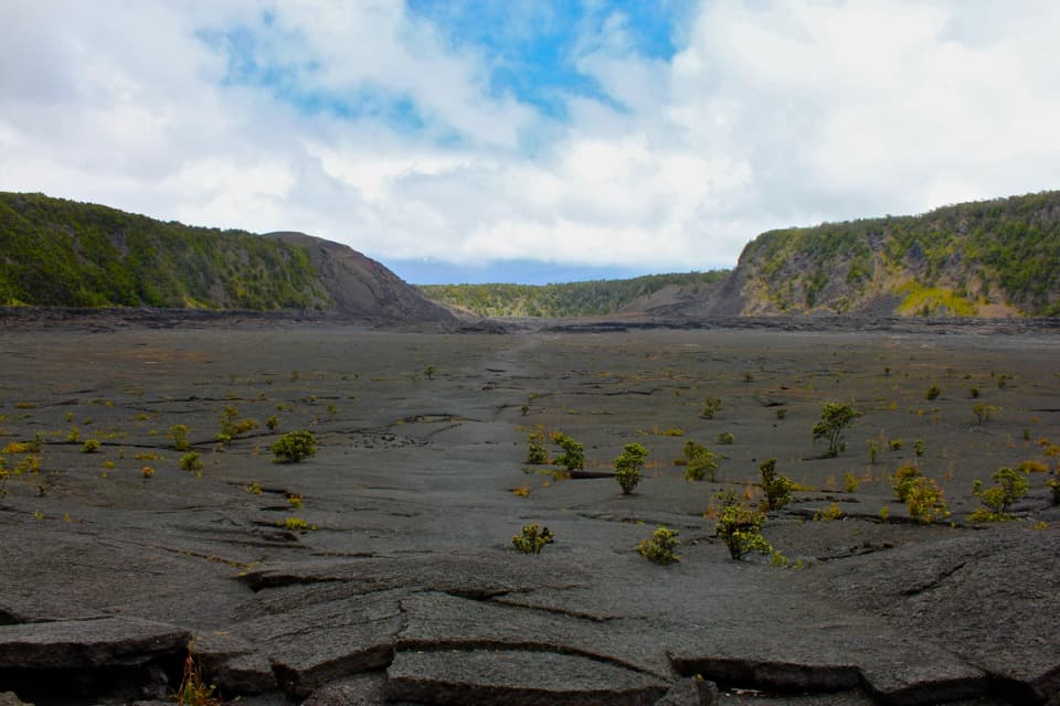
The Maunaulu / Puʻuhuluhulu Trail is a 2.5-mile out-and-back from the Maunaulu parking area across lava from the 1969–74 eruption to the forested Puʻuhuluhulu cinder cone, then back the same way. The NPS distance is round trip. Allow two to three hours: most of the walk is a rough traverse over lava, while the last quarter-mile climbs steeply to a concrete viewing platform. The full route gains about 210 feet. It is a good choice if you want to see the eruption landscape on foot and have time for its geology, not just a roadside overlook.
The marked trail begins about 100 yards beyond the parking area. Ahu—small stacked-rock markers—and numbered interpretive stops guide you over the lava. They are easy to lose against the broken surface, so keep watching ahead and stay on the marked route. Don’t move or build ahu to make a shortcut; this lava is fragile, and the route passes open fissures as well as sharp, unstable rock.
The approach shares a corridor with the much longer Nāpau Crater Trail. This walk turns toward Puʻuhuluhulu; continuing east is a separate backcountry trip, so don’t follow that route by mistake. A separate short lava-feature loop branches south near the register. It is an optional add-on and is not included in the 2.5-mile distance.
The final quarter-mile is steep. Puʻuhuluhulu is older than the surrounding 1969–74 flows and stayed wooded while lava covered the landscape around it. At the top, a concrete platform opens onto views of Mauna Ulu and, on clear days, Mauna Loa, Mauna Kea, and the Pacific. For a photograph, include the green edge of the cone with the dark lava plain beyond; that contrast shows why this small patch of forest stands out.
The guide’s numbered stops make the ground easier to read. Pāhoehoe has folded, ropy surfaces; ʻaʻā breaks into jagged clinker. Fissures split the flows, and some open cracks sit beside the route. The 1969–74 eruption lasted nearly five years and sent about 350 million cubic meters of lava across this part of the park. It buried sections of the earlier Chain of Craters Road and partly or completely filled several craters.
Where lava flowed through forest, it cooled around tree trunks; when the trunks burned or the flow drained away, hollow lava-tree molds remained. They are delicate, so look without touching. The interpretive guide also tells a Hawaiian story of Pele and a hōlua sled-race dispute, alongside the instruction E nihi ka hele—walk carefully and pay attention.
Bring sturdy shoes, water, and protection from both sun and rain; there is no water on the route or at the trailhead. The lot is on a short spur from Chain of Craters Road. You can get the park’s interpretive guide at the trailhead or download it before you go, which helps match the numbered stops to the landscape. Dogs and other pets are not allowed on park trails; authorized service animals are the exception.
Wildlife
 600 sightingsHawaiian Goose (Nēnē)Most seen around 5 PMSighting map
 35 sightingsGreen Sea TurtleMost seen around 11 AMSighting map
 36 sightingsHawaiian Hawk ('Io)Most seen around 11 AMSighting map
 41 sightingsBlack NoddyMost seen around 5 PMSighting map
 96 sightingsWhite-tailed TropicbirdMost seen around noonSighting map
 24 sightingsHawai'i 'ElepaioMost seen around 8 AMSighting map
Sighting maps show where each species has been reported across Hawaiʻi Volcanoes. Wildlife moves, so no sighting is guaranteed.
Keep exploring
 ChallengingNāpau Trail12.4 mi · 7.2 hr · At the trailheadCross old lava rivers into a fern forest and a crater overlook.
 ChallengingMakaopuhi Crater Trail8.2 mi · 5 hr · 0.1 mi awayA long lava crossing opens at a steep, forested crater rim.
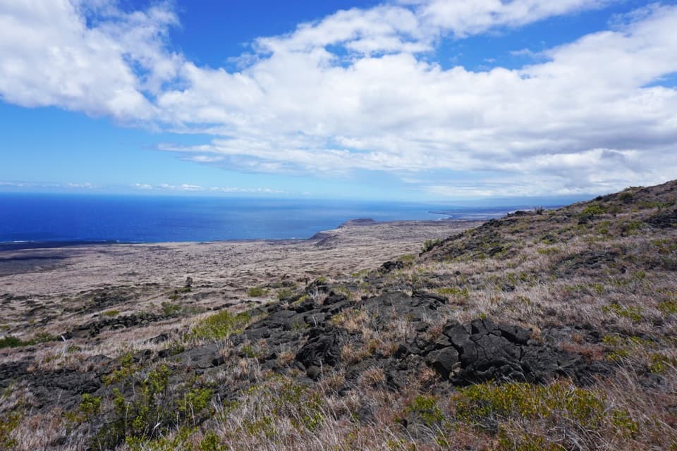 ChallengingKeauhou Trail15.2 mi · 8.5 hr · 2.1 mi awayLava ridges lead to a freshwater seep on the remote coast.
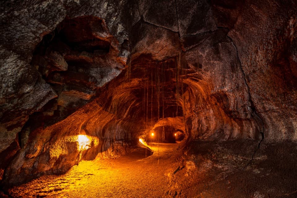 EasyNāhuku (Thurston Lava Tube) Trail0.4 mi · 30 min · 3.6 mi awayA short ferny walk leads into a 500-year-old lava tube.
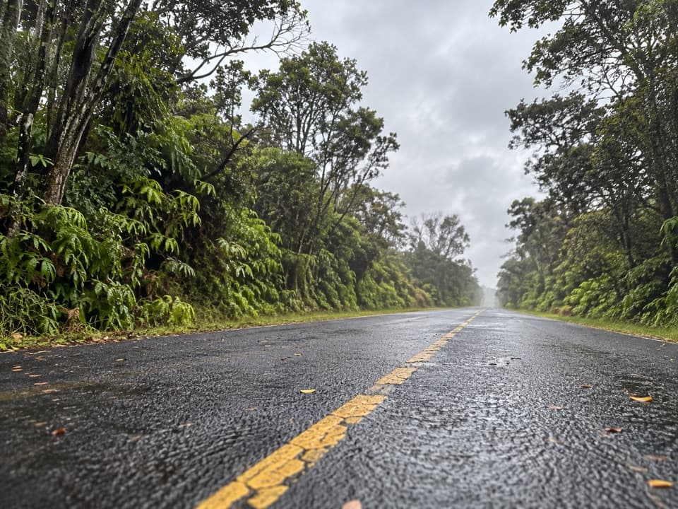 EasyEscape Road Trail3.8 mi · 2 hr · 3.7 mi awayA gentle forest descent from Nāhuku toward Mauna Ulu.
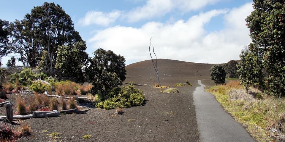 EasyDevastation Trail1 mi · 1 hr · 3.7 mi awayA short paved walk through cinder from Kīlauea Iki’s 1959 eruption.
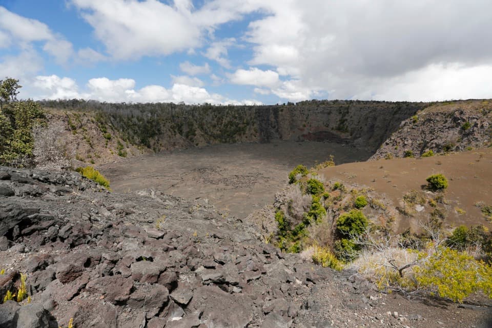 EasyKeanakākoʻi Crater Trail2 mi · 1.3 hr · 3.7 mi awayAn easy walk on a former road reaches a 115-foot crater.
 ModerateUēaloha (Byron Ledge) Trail2.2 mi · 1.5 hr · 3.7 mi awayOpen cinder, forested ledge, and views of Puʻupuaʻi.
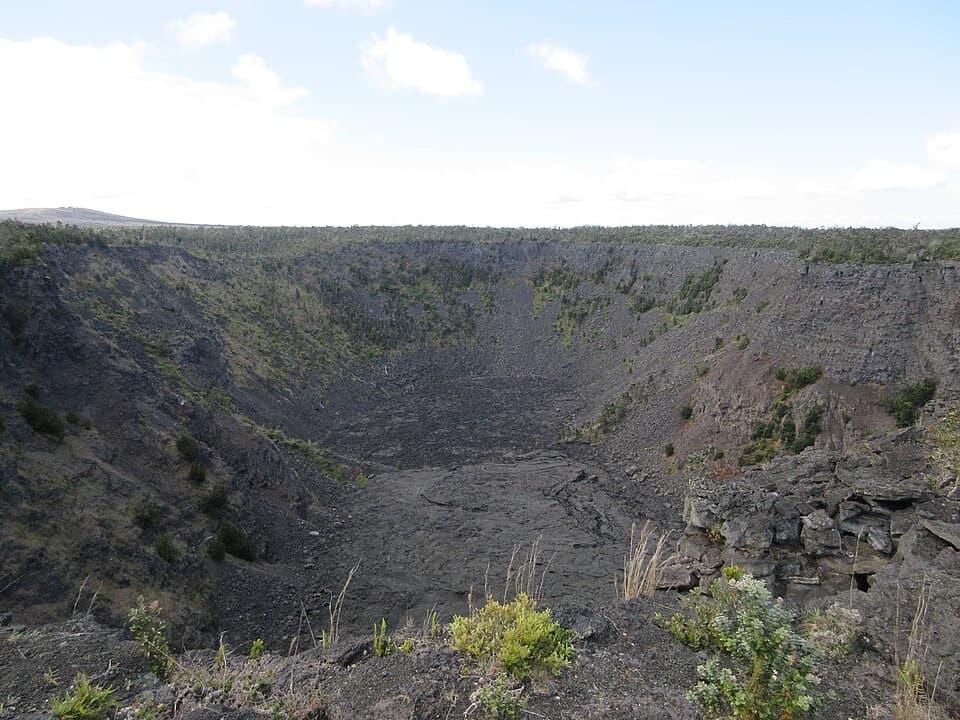 Sight · 0.7 mi awayPauahi CraterA roadside look into a crater shaped by three eruptions.
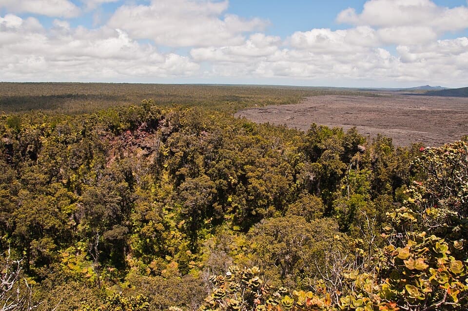 Sight · 0.9 mi awayPuʻuhuluhulu OverlookA forested cone gives a close view of Maunaulu’s lava shield.
 Scenic pullout · 2.1 mi awayMau Loa o MaunauluSee Maunaulu's glassy 1969–74 lava field from the road.
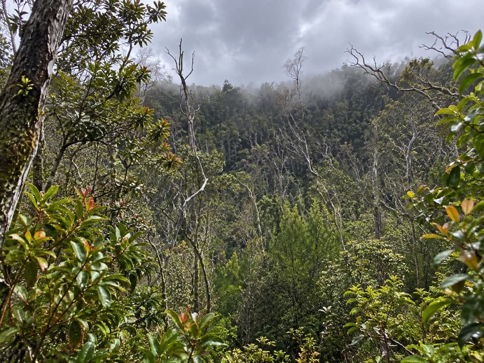 Sight · 2.3 mi awayKoʻokoʻolau Crater LookoutA pit crater with a 1958 survey marker on its rim.
 Sight · 2.7 mi awayMakaopuhi Crater OverlookKīlauea’s largest pit crater, with a blue lava lens on its wall.
 Sight · 2.9 mi awayPuhimau CraterA quick roadside look into one of Kīlauea's steep-walled pit craters.
 Sight · 3.1 mi awayMuliwai a PeleA three-day lava river left its own channels and levees.
 Sight · 3.3 mi awayLuamanu and July 1974 FlowA crater holds the mark of lava that later drained away.
Parkwolf’s Hawaiʻi Volcanoes ranking

The audio tour guide for the drive, plus offline maps, trails, and wildlife heatmaps for when the signal drops.