Place · 2.1 mi away

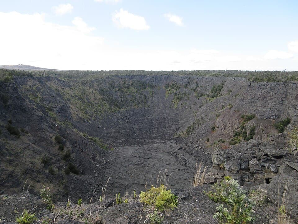
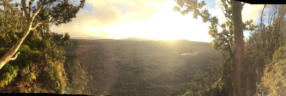
Muliwai a Pele—“River of Pele”—is a small roadside overlook along Chain of Craters Road that peers into the path of a once-roaring lava river from the 1969–1974 Mauna Ulu eruptions. It’s a short stroll from a pullout to an observation platform, and a great primer on how lava actually moves across the landscape.
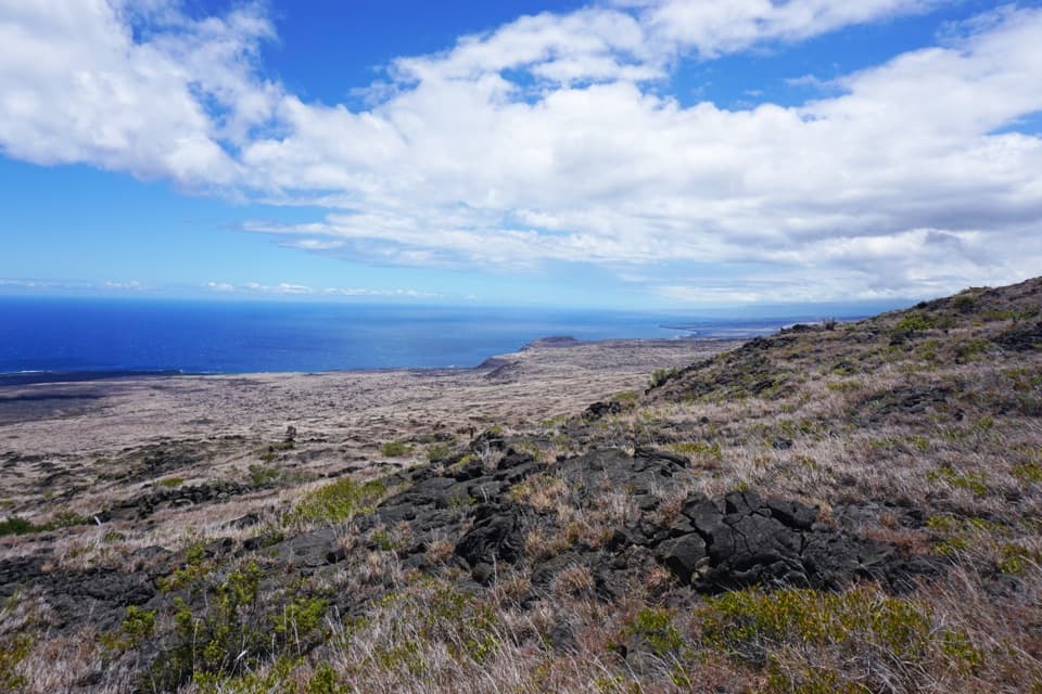
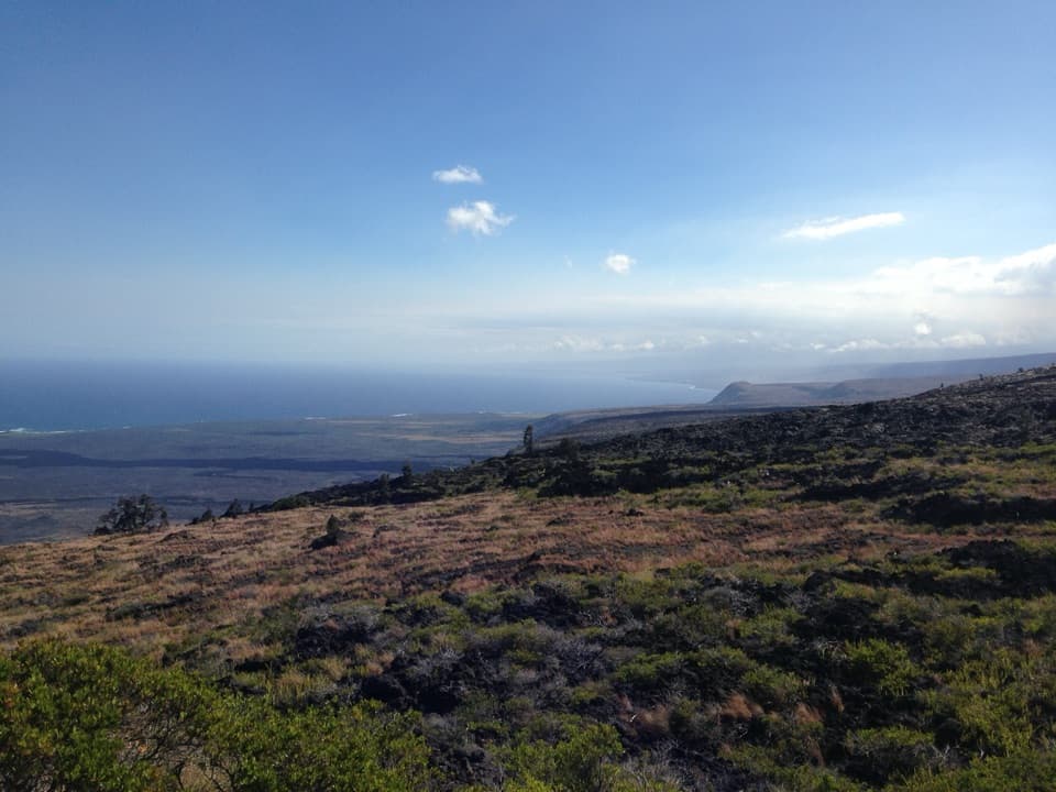
From this perch, trace a distinct lava channel etched into the black ‘a‘ā fields. You’ll spot hefty boulders stranded near the overlook—carried by molten rock when the channel was raging—plus the broad flow that ran roughly five miles downslope toward the ocean. It’s stark, raw, and very different from the greener parts of the park.
This stop connects the dots between open lava rivers and lava tubes. As supply wanes, channels can roof over and evolve into tubes—think of nearby Nāhuku (Thurston Lava Tube). Standing here, the process clicks: fast, hot, open flow first; cooled, shielded tube later.
It’s typically a low-key, uncrowded stop. The immediate terrain is harsh lava rock, so don’t expect much wildlife activity right here.
There’s a marked pullout and a very short path to the platform. No shade, no water, no restrooms—come prepared. Sturdy shoes help on the uneven lava.
Aim for morning or late afternoon to avoid the harsh heat and glare that build on the black lava by midday. Because it’s a lesser-known stop, it’s often peaceful whenever you swing by.