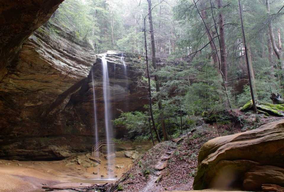
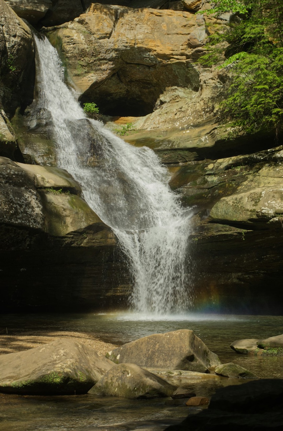
Parking
Use the Cantwell Cliffs parking area off State Route 374. The trail access is past the lot by the large picnic shelter; picnic facilities and latrines are at the lot.
Hocking Hills State Park, OH
A sandstone loop with a squeeze, shaded creek bottom, and rock shelter.
Overview
Map & elevation
Plan your hike

The highest, rockiest slopes around here are a summer buffet for grizzly bears.
Hocking Hills Tour Guide
Parkwolf is a GPS audio tour guide for Hocking Hills State Park. As you drive, it chimes in with what’s ahead: hidden gems, upcoming stops, history, geology, and wildlife, right through your car’s speakers.
Recorded for this trailhead
Cantwell Cliffs“Cantwell Cliffs is coming up, with a narrow sandstone passage called the Squeeze and a rugged gorge below. Allow an hour or more for the lower gorge loop, with steep stairs, rough rock and exposed edges.”
Plays as you drive up to this trailhead in the Parkwolf Hocking Hills Tour Guide.
More stories near here in the app
“Fantastic app with many points of information… It’s great to just turn on while you’re driving and it gives you an audio tour of the national Park. We love it!!!!”


Trail guide
Cantwell Gorge Trail is about a 0.9-mile loop from the Cantwell Cliffs parking area. It follows the shared approach to the signed lower-gorge route, then returns on the shared rim trail. The park map’s 0.2-mile label is the gorge corridor alone, not the walk from the lot and back. Allow about an hour to 80 minutes; it’s short, but steep steps and rough footing slow the loop down. Follow the one-way signs. If you’d rather skip a tight rock passage, take the separate upper-rim route.
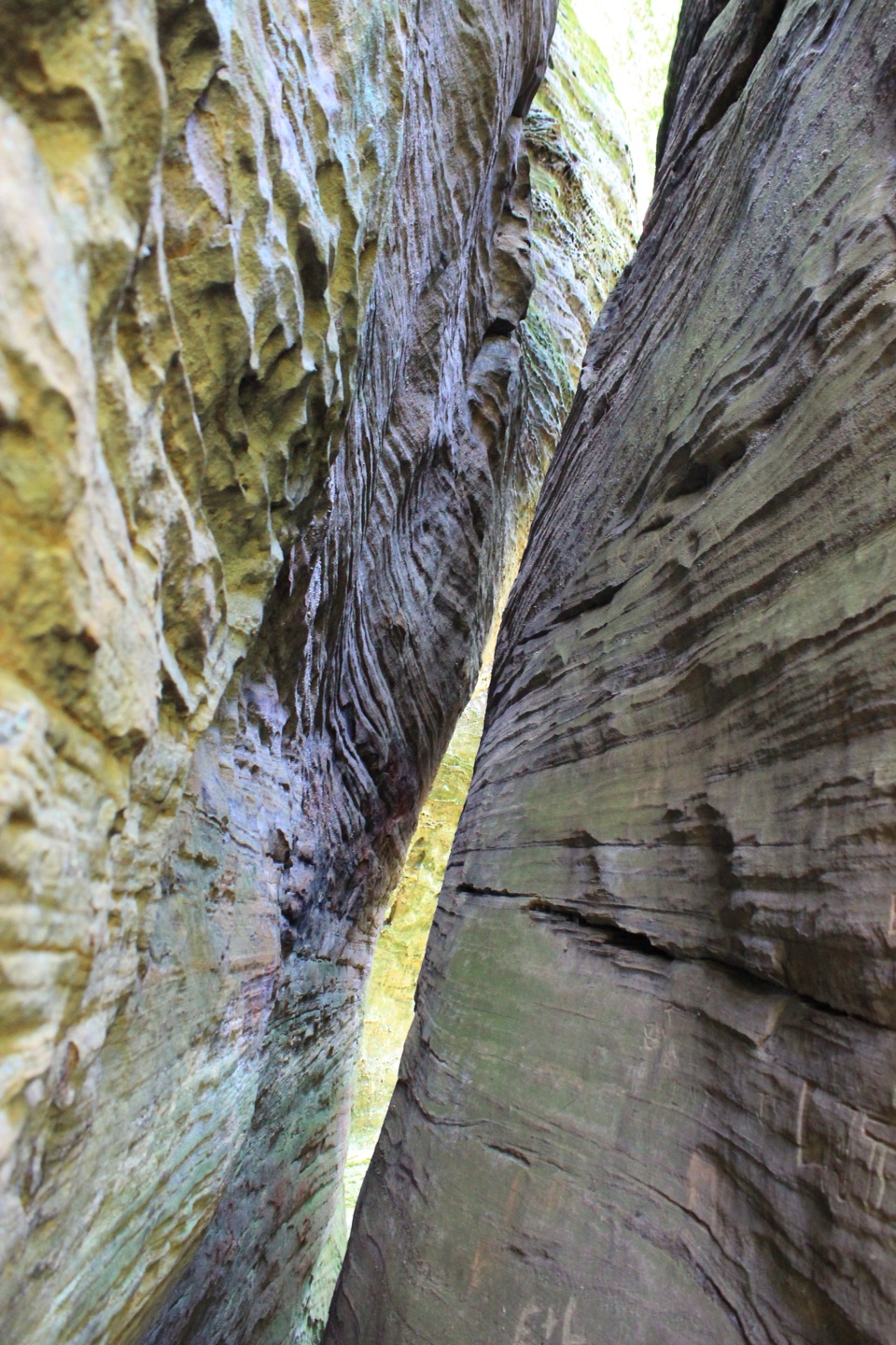
From the far end of the lot, the approach drops through the woods to the cliff rim. Fat Woman’s Squeeze is a narrow fissure between large sandstone blocks and the way into the lower gorge. The opening tightens enough that you may need to turn sideways for a few paces, then the route descends roughly 150 feet into the ravine.
The yellow-blazed gorge trail follows the shaded flats beside Buck Run. A short plank boardwalk crosses a wet patch, then the path passes another slot and a large rock shelter where a small waterfall appears after wet weather. Stone stairs and steep switchbacks climb back to the rim; from there the shared trail returns to the lot. The cool ravine has hemlock and black birch shade, ferns, and early-spring flowers including trillium and may-apple.
Buck Run has cut a deep valley through the park’s Blackhand Sandstone. The cliffs’ overhangs and narrow passages are part of that erosion story; iron-rich concretions leave rusty red-brown patches on some rock faces. The route is a good pick if you want a short hike that keeps changing from close rock walls to open rim, but the uneven dirt, steps, wet footing, and exposed edges make it more work than its mileage suggests. Trails close 30 minutes after sunset. Dogs may come on a six-foot leash.
Wildlife
 15 sightingsWhite-tailed DeerMost seen around 7 AMSighting map
 83 sightingsSnapping TurtleMost seen around 5 PMSighting map
 13 sightingsChipmunkMost seen around 8 AMSighting map
 19 sightingsGray RatsnakeMost seen around 6 PMSighting map
 47 sightingsWatersnakeMost seen around 10 AMSighting map
 11 sightingsRing-necked SnakeMost seen around 7 PMSighting map
Sighting maps show where each species has been reported across Hocking Hills. Wildlife moves, so no sighting is guaranteed.
Keep exploring
ChallengingCantwell Rim Trail1.1 mi · 1.2 hr · At the trailheadA short sandstone loop with steep steps and a narrow squeeze.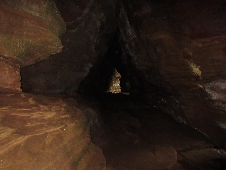 ModerateRock House Gorge Trail0.6 mi · 1 hr · 3.7 mi awayA sandstone cave’s seven windows reward the one-way walk across the gorge.
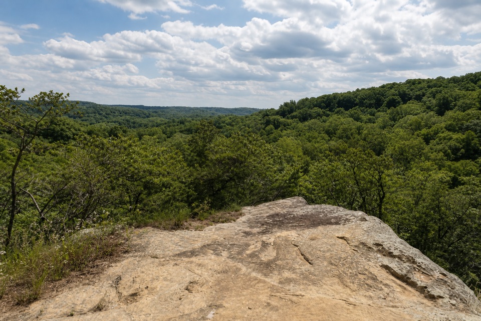 ModerateAirplane Rock Trail3.6 mi · 2 hr · 4.7 mi awayA rolling forest walk leads to a sandstone perch above the valley.
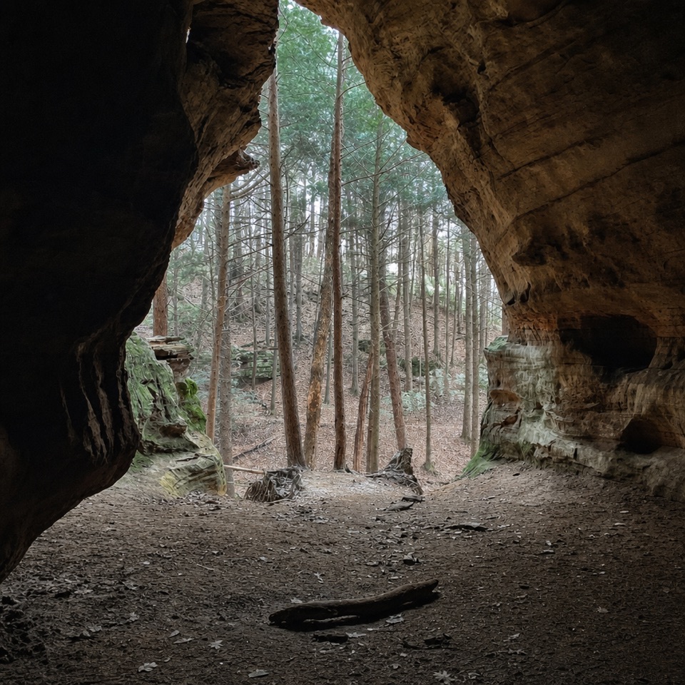 ModerateChapel Cave Trail1.8 mi · 1.3 hr · 5.7 mi awayA creekside bridle trail leads to a cave with a 21-horse legend.
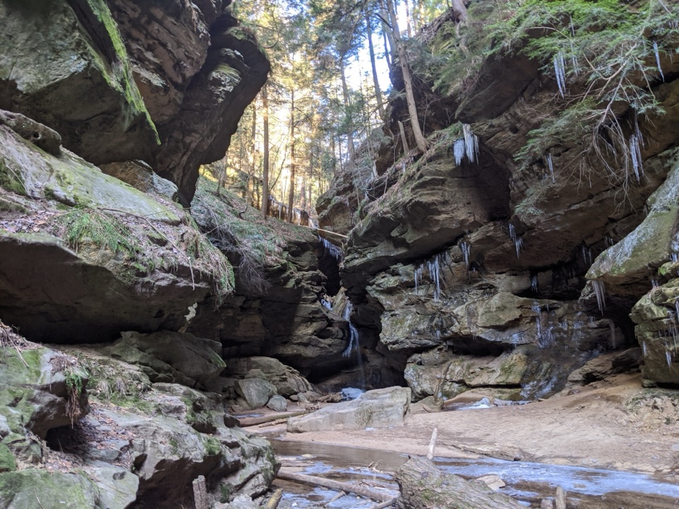 EasyConkles Hollow Gorge Trail1 mi · 1 hr · 6 mi awayA one-mile gorge out-and-back, with a paved start and rougher finish.
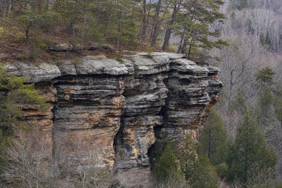 ChallengingConkles Hollow Rim Trail2 mi · 2.5 hr · 6 mi awayA hard loop of steep steps, wooded cliff tops and gorge views.
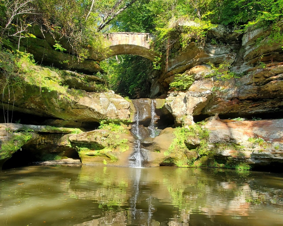 ModerateOld Man’s Cave Trail1 mi · 1 hr · 7.4 mi awayA one-mile gorge loop past a waterfall, cave and stone tunnels.
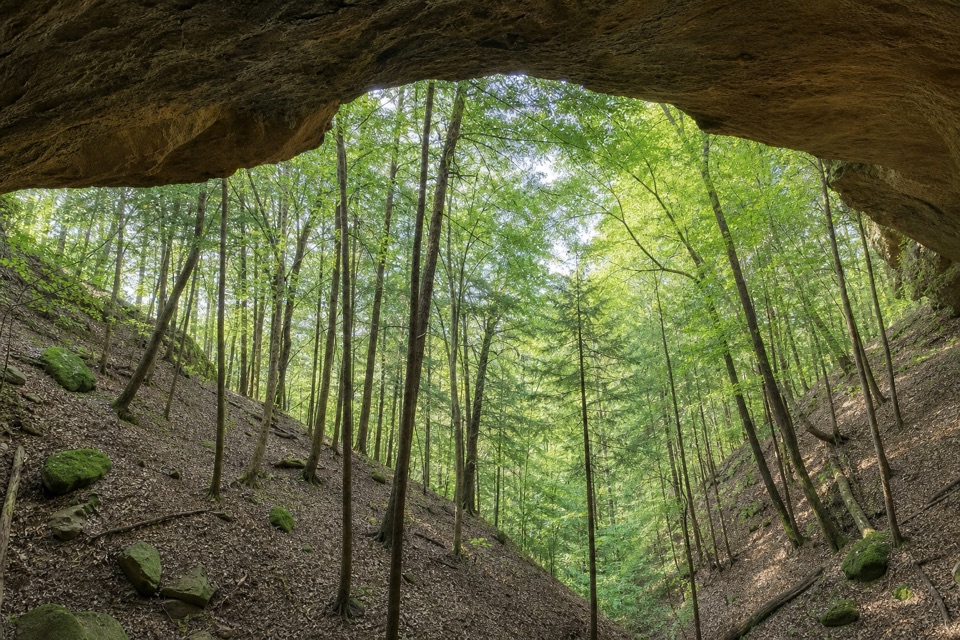 ChallengingWhispering Cave Trail3.3 mi · 3 hr · 7.4 mi awayA rugged one-way circuit to Whispering Cave via Hemlock Bridge.Sight · At the trailheadCantwell CliffsA sandstone gorge with a tight squeeze and a demanding rim loop.
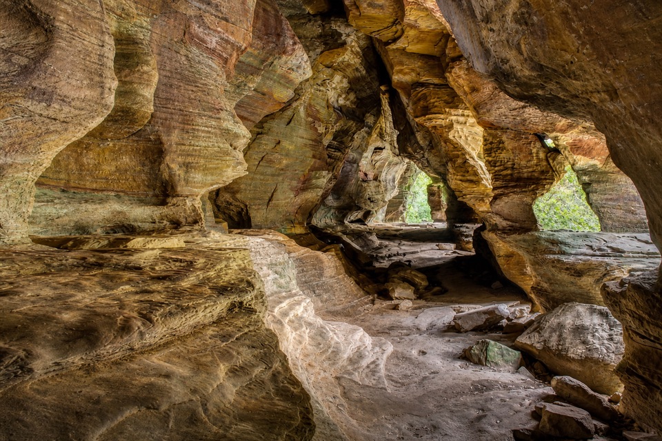 Sight · 3.6 mi awayRock HouseA walk-through sandstone cavern with seven natural windows.
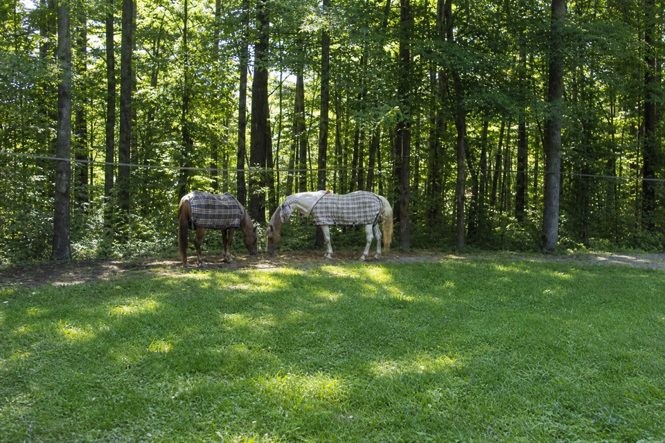 Campground · 4.3 mi awayHocking State Forest Horse CampgroundA rider-only base for Hocking State Forest's 40-mile bridle network.
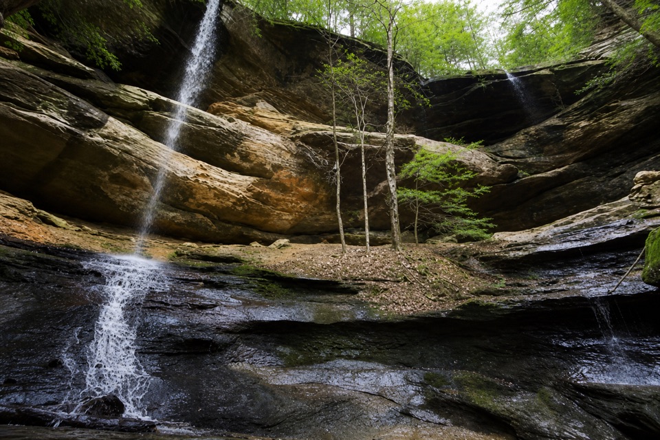 Sight · 4.9 mi awayTwin FallsTwo seasonal cascades tucked into a sandstone hollow.
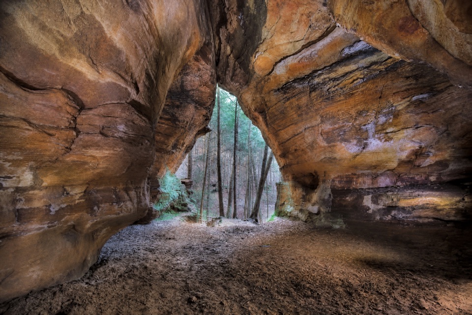 Sight · 5.1 mi awayChapel CaveA deep sandstone hall tucked off a shared forest bridle trail.
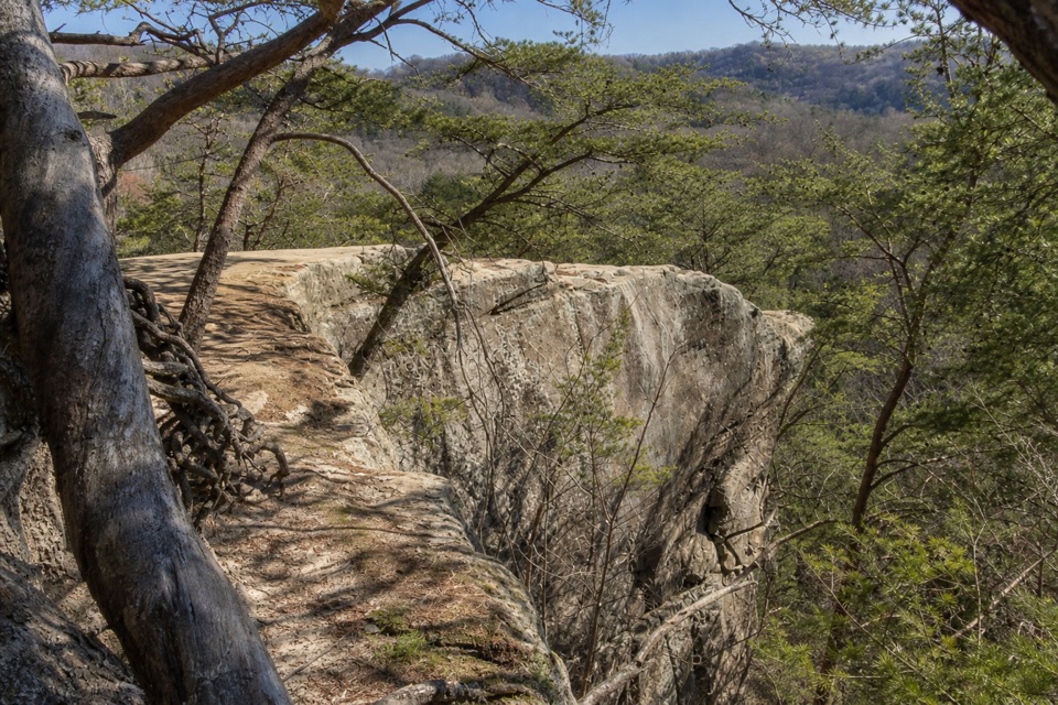 Sight · 5.5 mi awayAirplane RockA quieter airplane-shaped overlook after a hilly 3.6-mile hike.
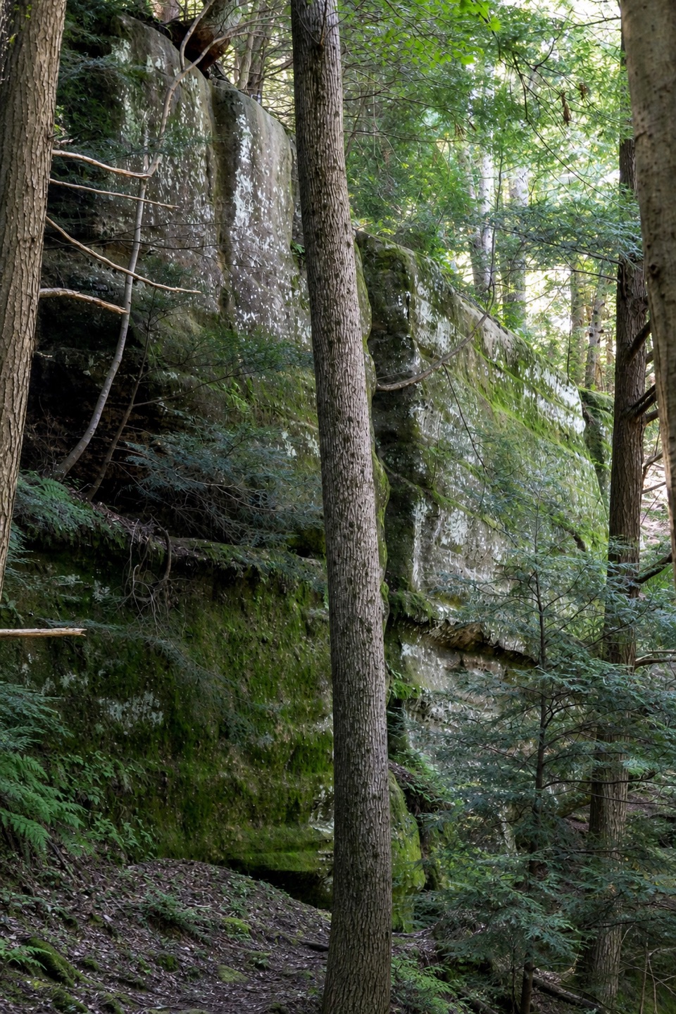 Sight · 5.8 mi awayHocking State Forest Rock Climbing and Rappelling AreaClimb or rappel a mile-long sandstone cliffline—register first.Sight · 6 mi awayConkles Hollow State Nature PreserveA shadowy gorge walk and an exposed cliff-top loop.
Parkwolf’s Hocking Hills ranking

The audio tour guide for the drive, plus offline maps, trails, and wildlife heatmaps for when the signal drops.