Parking
Parking for the Pullman Trailhead is at the end of Pullman Avenue, approached from Park Avenue.
Hot Springs National Park, AR
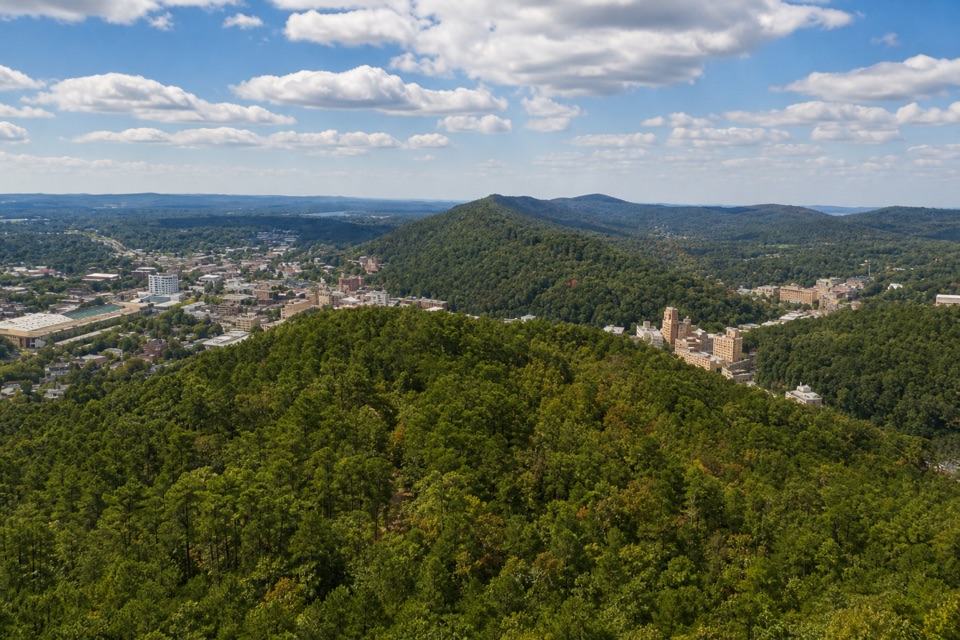
A steep wooded link into the Northwoods trail network.
Overview
Map & elevation
Plan your hike

The highest, rockiest slopes around here are a summer buffet for grizzly bears.
Hot Springs Tour Guide
Parkwolf is a GPS audio tour guide for Hot Springs National Park. As you drive, it chimes in with what’s ahead: hidden gems, upcoming stops, history, geology, and wildlife, right through your car’s speakers.
Recorded for this area
A Woodpecker Leaves a Clue“On a woodland walk, a large rectangular hole in a dead trunk is a clue worth noticing. It may be the work of a pileated woodpecker, a bird nearly the size of a crow.”
Plays on the road 0.6 mi from the trailhead in the Parkwolf Hot Springs Tour Guide.
More stories near here in the app
“Fantastic app with many points of information… It’s great to just turn on while you’re driving and it gives you an audio tour of the national Park. We love it!!!!”


Trail guide
Pullman Trail is a shared-use out-and-back from the Pullman Avenue trailhead to the Northwoods Trails connection. The named trail is about 0.8 mile each way, so walking to the connection and retracing it makes the visit about 1.6 miles round trip. Allow roughly 50–90 minutes. The woodland path is short but rated moderate, with a listed typical grade of 24.4% and packed gravel mixed with rock. Go for a brief walk or a way into the larger Northwoods network; this route itself is a connector, not a loop. Pets are allowed.
From Pullman Avenue, the trail rises through the woods, then drops toward its Northwoods connection. The rocky, packed-gravel surface and steep pitches make it feel more demanding than the mileage suggests. Bicycles and e-bikes are allowed, and mountain bikes are common, so leave room for riders. The distance above stops at the Northwoods link; continuing into that trail system adds miles.
The route passes near a protected historic homesite. Bottles, cans, toys and even an old car can look like discarded objects, but they are archaeological artifacts protected by federal law; leave everything where it is. Pullman was built as a community connection between downtown and Northwoods by IMBA Trail Solutions, with support from a Walton Family Foundation grant.
Wildlife
 71 sightingsWhite-tailed DeerMost seen around 6 PMSighting map
 11 sightingsGroundhogMost seen around 7 AMSighting map
 12 sightingsMexican Long-nosed ArmadilloMost seen around 8 PMSighting map
 16 sightingsTurkey VultureMost seen around noonSighting map
 40 sightingsCardinalMost seen around 7 AMSighting map
 27 sightingsSummer TanagerMost seen around 7 AMSighting map
Sighting maps show where each species has been reported across Hot Springs. Wildlife moves, so no sighting is guaranteed.
Keep exploring
 ModerateBalanced Rock Trail2 mi · 1.3 hr · 0.9 mi awayA modest outcrop with wide views across the Ouachita ridges.
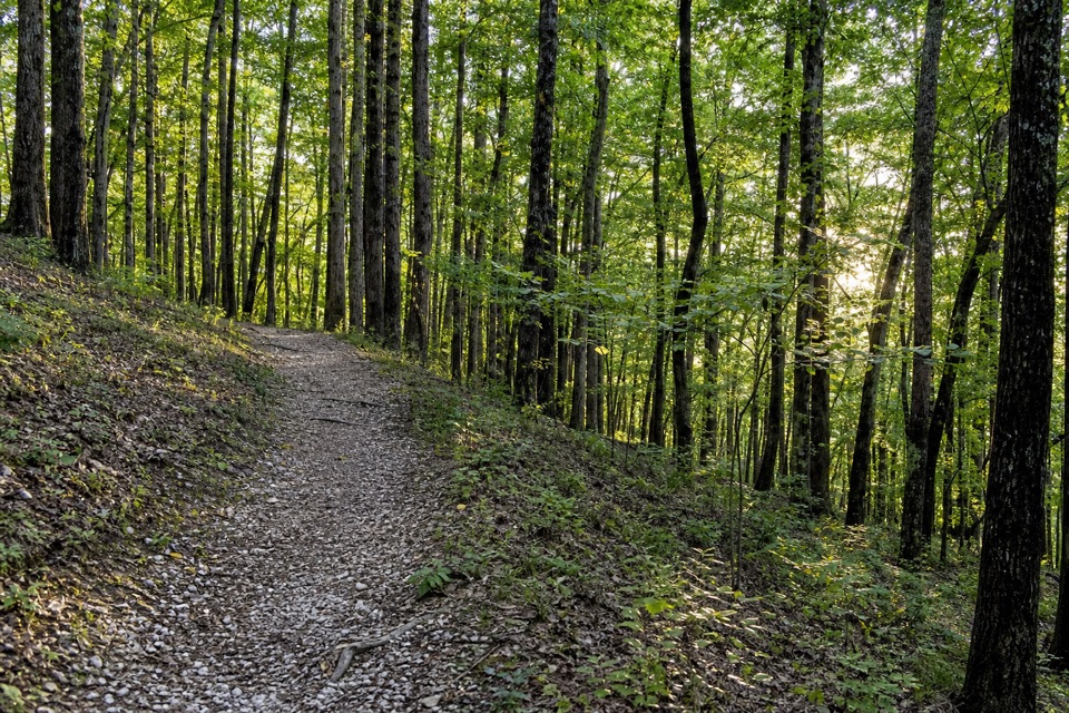 ModerateFordyce Peaks Trail5.8 mi · 3.5 hr · 0.9 mi awayA 5.8-mile out-and-back to views of the Fordyce Peaks.
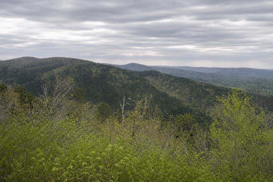 EasyUpper Dogwood Trail1 mi · 35 min · 1 mi awayOne mile of wooded trail, with short climbs and long flat stretches.
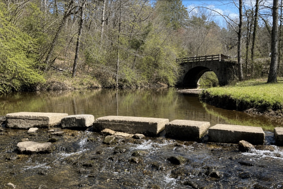 ModerateGulpha Gorge Trail0.7 mi · 45 min · 1.2 mi awayThe creek crossing sets up a steep climb to North Mountain.
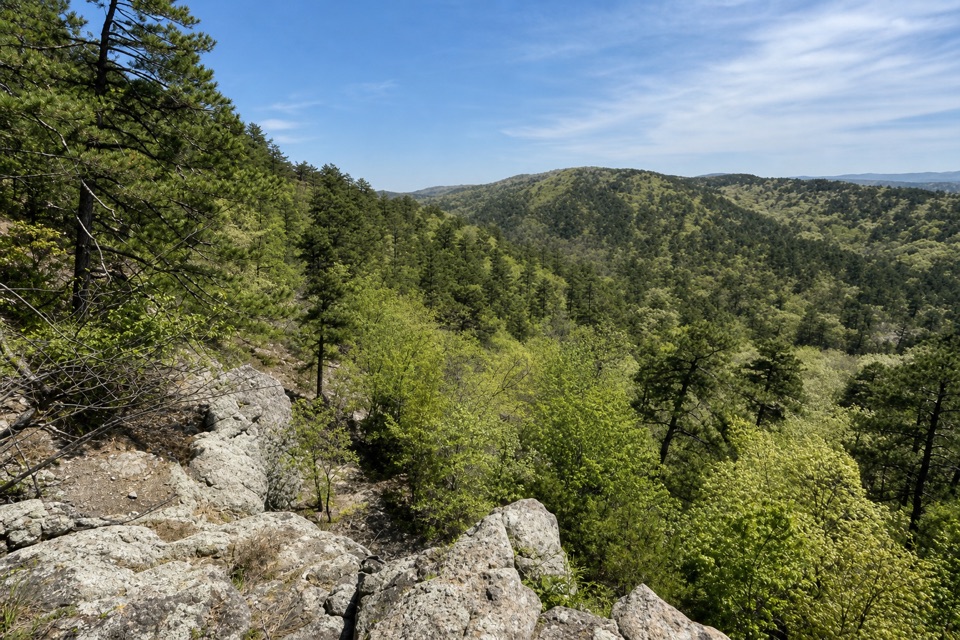 ModerateGoat Rock Trail2.2 mi · 1.8 hr · 1.2 mi awayA rocky overlook and broad Ouachita views above Gulpha Gorge.
 ModerateFloral Trail0.4 mi · 30 min · 1.3 mi awayA quick valley dip linking two North Mountain trails.
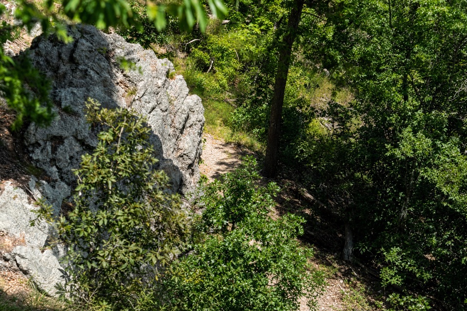 ModerateLower Dogwood Trail0.7 mi · 30 min · 1.4 mi awayBoulders mark a brief mountain climb before the loop drops downhill.
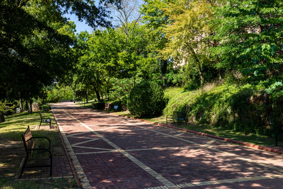 EasyGrand Promenade0.5 mi · 45 min · 1.4 mi awayBenches, spring views, and bathhouses on an easy half-mile walk.
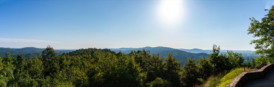 Scenic pullout · 1 mi awayNorth Mountain OverlookA quick ridge view at the top of the mountain loop.
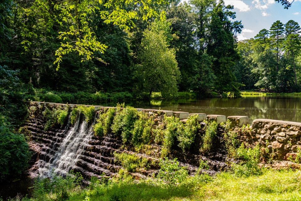 Sight · 1 mi awayRick's Pond and Stonebridge AreaA pond-side stop for stone bridges and an old waterwheel's story.
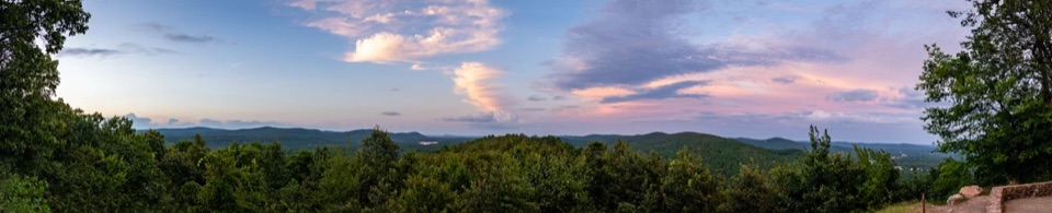 Sight · 1 mi awayGoat Rock ViewpointA short climb to a rock perch above the Zigzag Mountains.
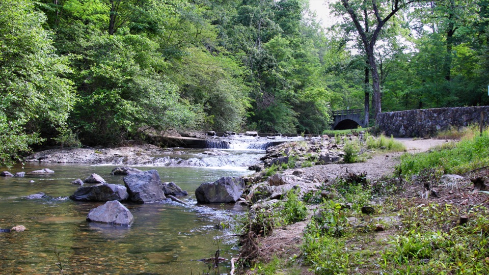 Campground · 1.3 mi awayGulpha Gorge CampgroundFull-hookup camping beside a creek, close to Bathhouse Row.
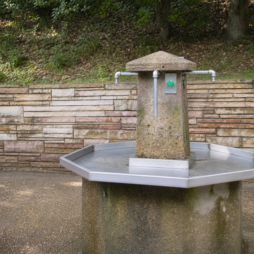 Sight · 1.4 mi awayHappy Hollow Jug Fountain (Cold)A free cold-spring refill stop, praised for its water.
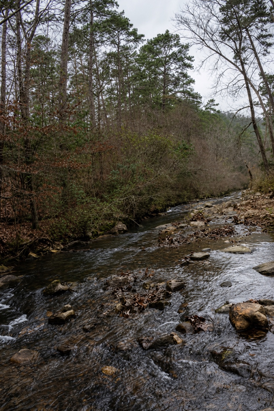 Picnic area · 1.5 mi awayGulpha Gorge Picnic AreaShady creekside tables make an easy lunch stop.
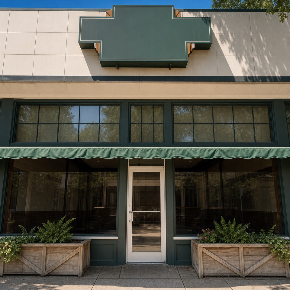 Restaurant · 1.5 mi awayThe Pancake ShopA 1940 breakfast institution a few steps from Bathhouse Row.
 Lodging · 1.5 mi awayThe Arlington Resort Hotel & SpaA 1924 landmark with twin towers and its own thermal bathhouse.
Parkwolf’s Hot Springs ranking

The audio tour guide for the drive, plus offline maps, trails, and wildlife heatmaps for when the signal drops.