Cirque Lake in Icefields Parkway (Highway 93)

Sight · Icefields Parkway (Highway 93)

Cirque Lake

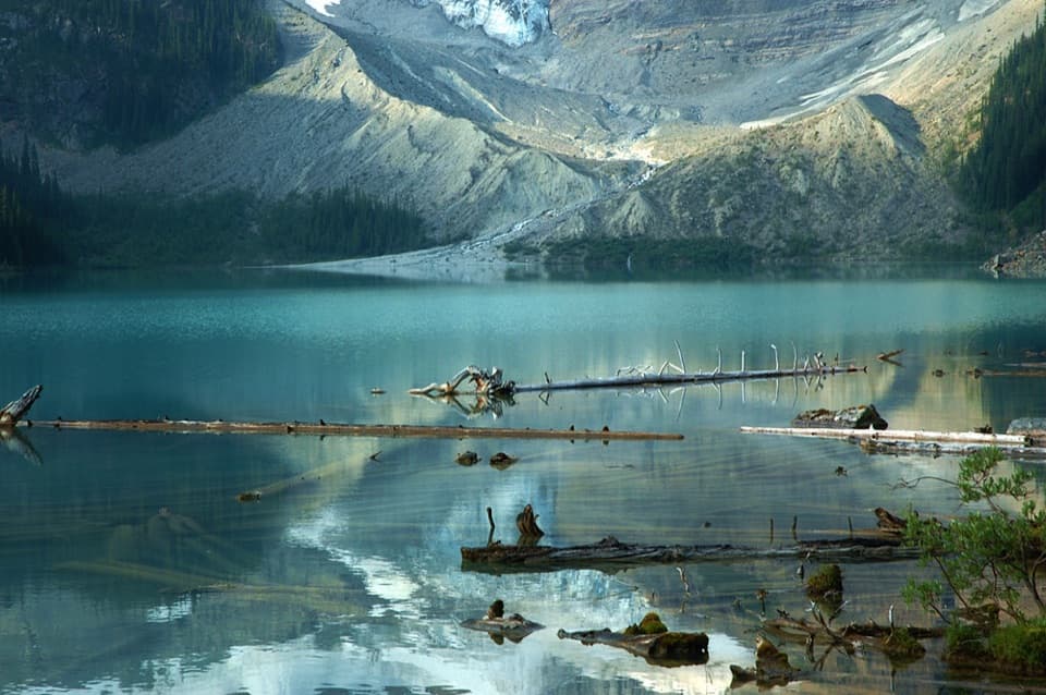
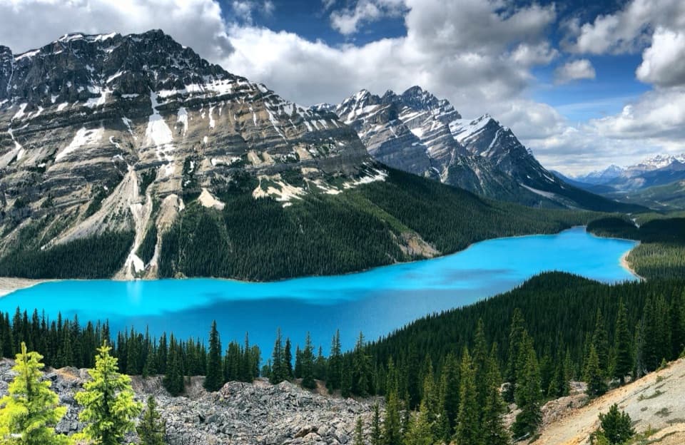
Blue water under a glacier and cirque walls, worth the hike.

Photo: Flickr
Type
Sight
Nearest trail
3.8 km
Audio stories
2 nearby
  • Trailhead
  • Parking

Hear the audio tour

Upper Waterfowl Lake: The Short Shore Walk

Overview

About Cirque Lake

Why stop

  • Blue water beneath a glacier and steep cirque walls.

Heads up

  • A long, often-muddy walk ends at rough boulders.

Map

Where it is

Loading the Icefields Parkway map
Full map
SightCirque Lake51.80756, -116.63406
Keep this map with you offline in the Parkwolf app

Plan your stop

Before you go

2 active Icefields Parkway alerts

  • ClosureWildfire-impacted area closures in JasperStay out of the closed wildfire-impacted areas in Jasper National Park; access is prohibited or restricted to protect public safety.Official details
  • ClosureOpal Hills hiking area closed for grizzly bearThe Opal Hills hiking area is closed because a female grizzly bear with two offspring is in the area. - The closure took effect September 25, 2026, and remains in effect until further notice.Official details

Icefields Parkway alerts
A park ranger sits on a dash-mounted phone, talking, as Parkwolf’s Tour Guide plays “Army Cutworm Moths: A Grizzly Bear Buffet” on Grand Loop Road below Dunraven Pass in Yellowstone
Parkwolf Tour GuideThe highest, rockiest slopes around here are a summer buffet for grizzly bears.

Icefields Parkway Tour Guide

Your drive to Cirque Lake, narrated.

Parkwolf is a GPS audio tour guide for Icefields Parkway (Highway 93). As you drive, it chimes in with what’s ahead: hidden gems, upcoming stops, history, geology, and wildlife, right through your car’s speakers.

See the Icefields Parkway audio tour

Recorded for this place

Upper Waterfowl Lake: The Short Shore Walk
0:00 / 0:32
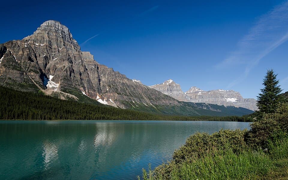
“You're approaching the Waterfowl Lakes campground access, where a short walk leads to Upper Waterfowl Lake's turquoise shore.”

Plays as you drive up to Cirque Lake in the Parkwolf Icefields Parkway Tour Guide.

More stories near here in the app

  • An Aspen Grove’s Shared Roots
  • Built for a Loon’s Dive
  • Why a Frozen Lake Can Sing
  • The Pine Cone’s Heat Release
  • 141 audio storiesacross Icefields Parkway’s roads, triggered by GPS as you drive
  • Wildlife heatmapsfor Grizzly Bear, Black Bear, Moose, and 13 more
  • Works offlinemaps, 54 trails, 57 places, and audio download before you lose signal
  • CarPlay readysimple controls built for the drive
★★★★★
“Fantastic app with many points of information… It’s great to just turn on while you’re driving and it gives you an audio tour of the national Park. We love it!!!!”
JMJamesApp Store review
Download Parkwolf on the App StoreGet Parkwolf on Google Play

4.7 from 8,600+ ratings

Guide

More about Cirque Lake

A lake at the end of a hikeCirque Lake is a backcountry lake reached on foot from Waterfowl Lakes Campground, tucked…

Cirque Lake is a backcountry lake reached on foot from Waterfowl Lakes Campground, tucked beneath steep mountain walls and a glacier. Go if you have time for a proper walk to a lake rather than a roadside stop: it is 4.6 km each way, with 210 m of climbing and 100 m of descent. The listed round-trip estimate is about three hours; leave extra time to enjoy the shore.

Take the Cirque branchStart at the hiker parking lot beside Waterfowl Campground, about 57.

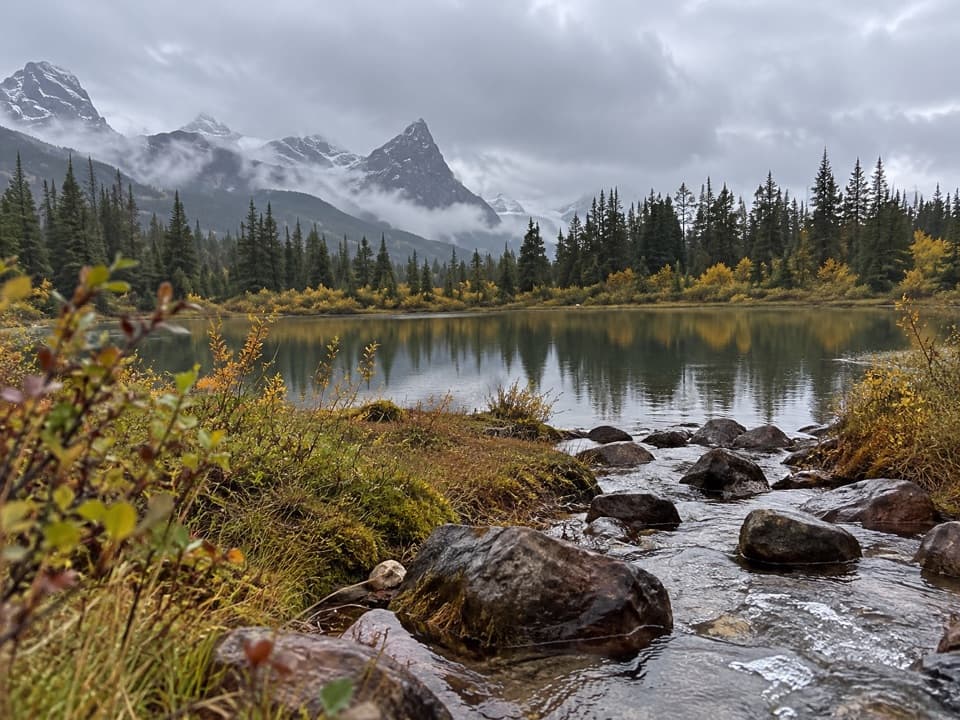
Start at the hiker parking lot beside Waterfowl Campground, about 57.5 km north of the Lake Louise junction. The path shares its opening with the Chephren Lake route, crosses a footbridge and then forks; follow the signed Cirque Lake branch. The forested trail is often muddy, with rooty, uneven stretches.

At the shoreThe trees open onto a rough boulder shoreline, not a flat beach or a built viewing platform.

The trees open onto a rough boulder shoreline, not a flat beach or a built viewing platform. Pick your way across the rocks for the view of blue water below the mountain walls and glacier. Partly submerged logs make a good foreground if you want a photo that shows the lake as well as the peaks.

Where the blue comes fromGlacier-fed runoff is credited with the lake’s bright blue color.

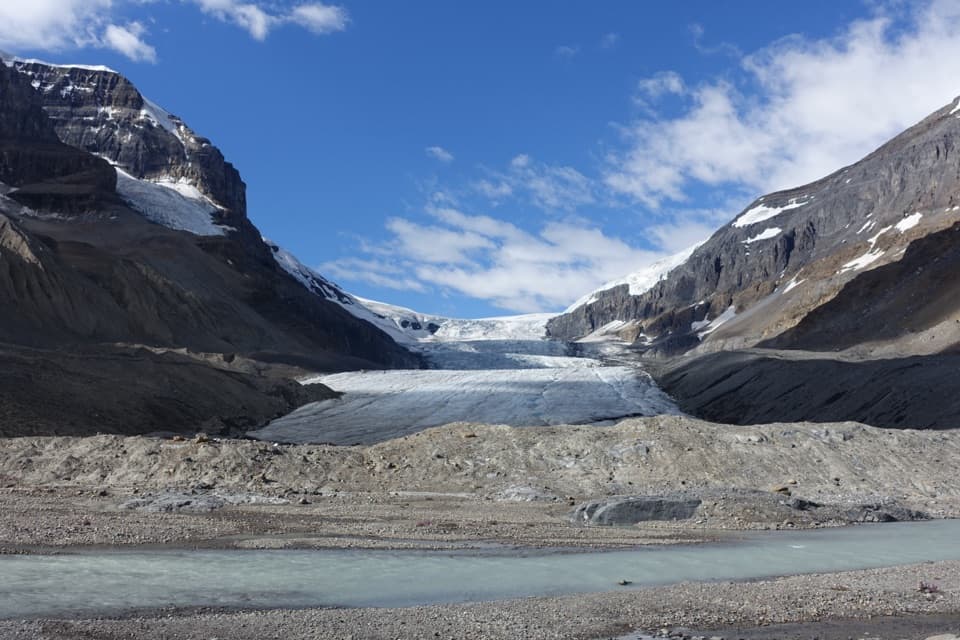
Glacier-fed runoff is credited with the lake’s bright blue color. The glacier sits above the water, so you can see the ice, steep slopes and lake together from the shore.

Wildlife

Wildlife in Icefields Parkway

All Icefields Parkway wildlife maps

Sighting maps show where each species has been reported across Icefields Parkway. Wildlife moves, so no sighting is guaranteed.

Parkwolf’s Icefields Parkway ranking

Top sights in Icefields Parkway

All 57 places
  1. 1Athabasca GlacierSight
  2. 2Peyto Lake ViewpointSight
  3. 3Athabasca FallsSight
  4. 4Bow LakeSight
  5. 5Sunwapta FallsSight
  6. 6Mistaya CanyonSight

Take Parkwolf to Icefields Parkway.

The audio tour guide for the drive, plus offline maps, trails, and wildlife heatmaps for when the signal drops.

4.7 from 8,600+ ratings

Download Parkwolf on the App StoreGet Parkwolf on Google Play