Parking
Start at the signed hiker parking area inside Waterfowl Lakes Campground, off the Icefields Parkway. The hiker lot is small.

#10 of 54 trails in Icefields Parkway
Icefields Parkway (Highway 93), AB
A rooty forest out-and-back to a turquoise lake beneath towering peaks.
Overview
Map & elevation
Plan your hike

The highest, rockiest slopes around here are a summer buffet for grizzly bears.
Icefields Parkway Tour Guide
Parkwolf is a GPS audio tour guide for Icefields Parkway (Highway 93). As you drive, it chimes in with what’s ahead: hidden gems, upcoming stops, history, geology, and wildlife, right through your car’s speakers.
See the Icefields Parkway audio tourRecorded for this trailhead
Upper Waterfowl Lake: The Short Shore Walk“You're approaching the Waterfowl Lakes campground access, where a short walk leads to Upper Waterfowl Lake's turquoise shore.”
Plays as you drive up to this trailhead in the Parkwolf Icefields Parkway Tour Guide.
More stories near here in the app
“Fantastic app with many points of information… It’s great to just turn on while you’re driving and it gives you an audio tour of the national Park. We love it!!!!”


Trail guide
Chephren Lake Trail is a 5.1-mile (8.2-km) out-and-back from the Waterfowl Lakes Campground hiker parking to the lake and back. Allow about 2½–3 hours for a mostly wooded walk with a modest climb, a rooty middle stretch and a steep drop at the end. The payoff is turquoise water beneath Mount Chephren and Howse Peak. Start on the campground footpath, cross the wooden bridge over the Mistaya River, then climb gently through forest to a signed fork. Turn right for Chephren Lake; the left branch is the separate Cirque Lake hike.
The first part climbs gently, then the tread becomes rootier beyond the fork. Forest hides most of the peaks, though small openings give brief views of Mount Chephren and Howse Peak. The rough, sometimes muddy surface can slow the walk even where the grade feels manageable.
The final slope drops steeply to a natural, rocky shoreline with boulders and a fallen log rather than a formal viewing platform. The route returns the same way, so save energy for the climb back up from the water. From shore, the clear water and steep mountain wall make a strong frame; the weathered log in the foreground adds scale.
Use the signed hiker parking area inside Waterfowl Lakes Campground, off the Icefields Parkway. The hiker lot is small. Dogs are allowed on Banff trails when kept on leash and under physical control.
Wildlife
 12 sightingsGrizzly BearMost seen around 6 AMSighting map
 127 sightingsBlack BearMost seen around 7 PMSighting map
 16 sightingsMooseMost seen around 6 AMSighting map
 100 sightingsElkMost seen around 8 PMSighting map
 34 sightingsMountain GoatMost seen around 7 PMSighting map
 53 sightingsBighorn SheepMost seen around 6 PMSighting map
Sighting maps show where each species has been reported across Icefields Parkway. Wildlife moves, so no sighting is guaranteed.
Keep exploring
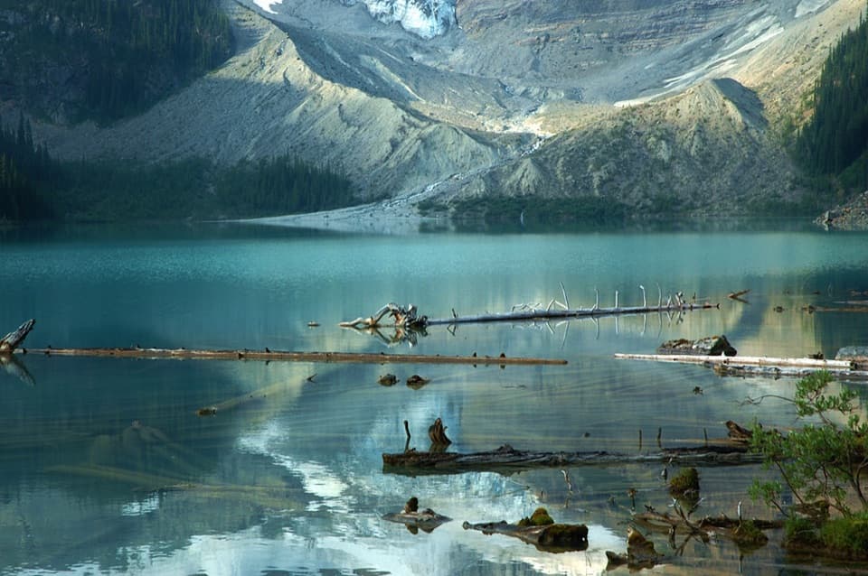 ModerateCirque Lake Trail9.2 km · 3 hr · At the trailheadBeyond the forest, a boulder shore opens to glacier views.
 EasyUpper Waterfowl Lake Trail1.7 km · 45 min · 0.6 km awayA quick bridge crossing opens onto turquoise Upper Waterfowl Lake.
 ChallengingSarbach Lookout Trail10.6 km · 5.5 hr · 12.5 km awayA muddy start and a long climb to views of Howse Pass.
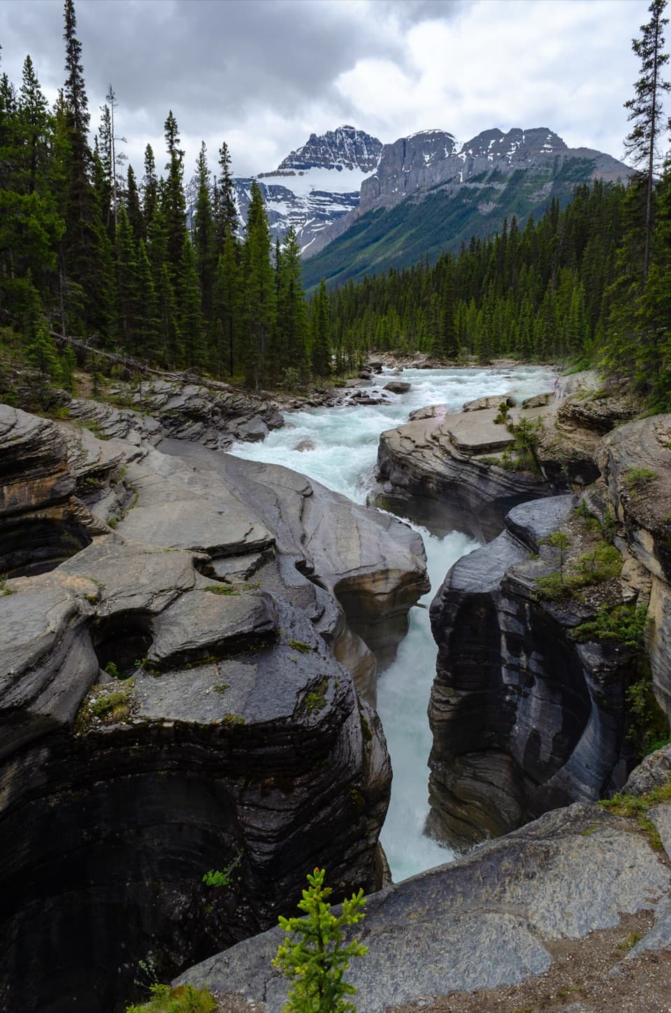 EasyMistaya Canyon Trail1 km · 30 min · 12.5 km awayA quick downhill walk to a canyon of twisting whitewater.
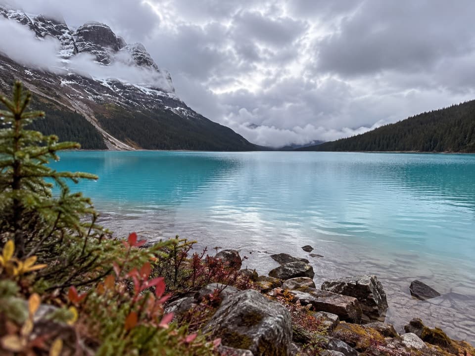 ChallengingPeyto Lake Trail2.4 km · 1.3 hr · 14 km awayA steep, rough descent to Peyto Lake’s actual shoreline.
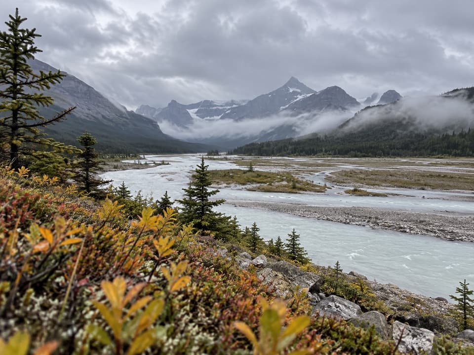 ChallengingHowse Pass Trail38.9 km · 20 hr · 15.4 km awayA remote pass traverse across the braided Howse River valley.
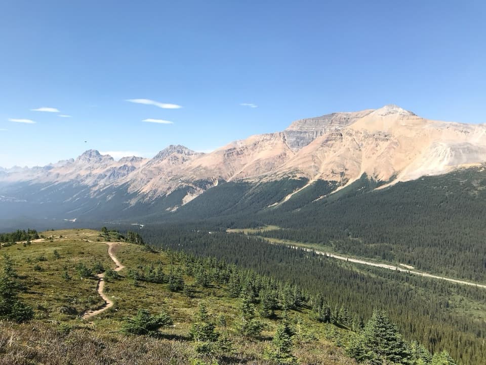 ModerateBow Summit Viewpoint Trail6.8 km · 2.5 hr · 16.6 km awayContinue past Peyto Lake for Bow Lake and wider mountain views.
 EasyPeyto Lake Lookout Trail1.2 km · 30 min · 16.6 km awayThe lake’s turquoise outline comes into view after a short climb.
 Campground · 0.2 km awayWaterfowl Lakes CampgroundCamp between glacier-fed lakes, and plan to go offline.
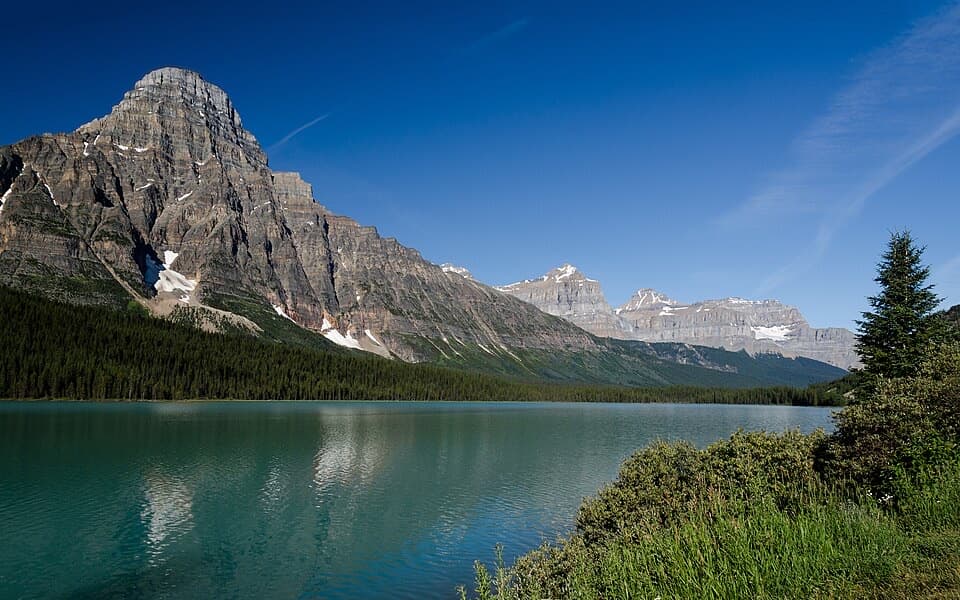 Scenic pullout · 0.7 km awayLower Waterfowl Lake ViewpointA quick pull-off for turquoise water and Mount Chephren.
 Sight · 1.6 km awayUpper Waterfowl LakeTurquoise water and mountain reflections reward a short shore walk.Sight · 2.1 km awayChephren LakeA rooty forest hike ends at a glacial lake beneath big peaks.
 Sight · 4.2 km awayCirque LakeBlue water under a glacier and cirque walls, worth the hike.
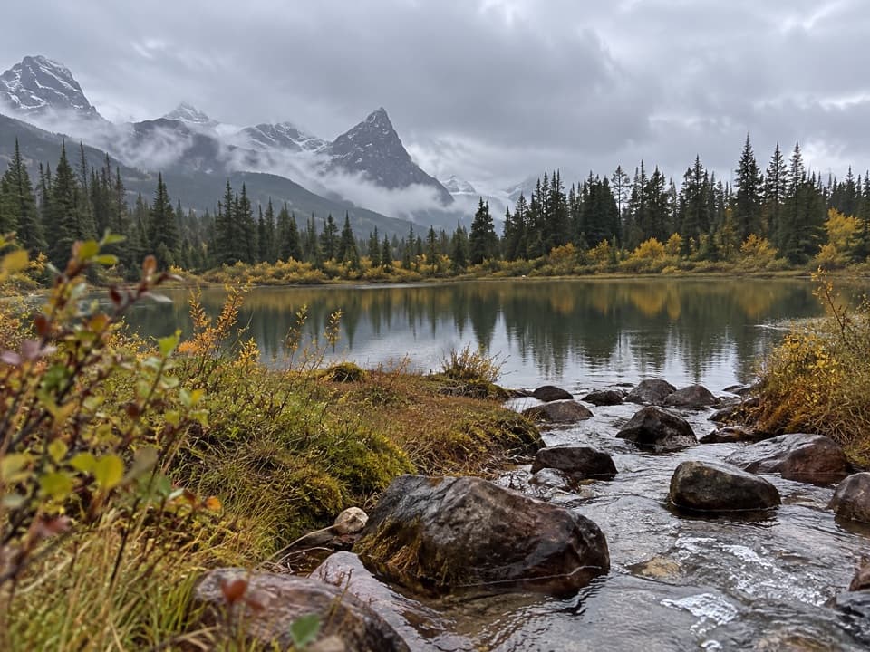 Campground · 5.6 km awaySilverhorn Creek CampgroundA simple night between big stops, with mountain views and creekside sites.Sight · 12.8 km awayMistaya CanyonA short walk drops to a bridge over twisting, sculpted whitewater.
Parkwolf’s Icefields Parkway ranking

The audio tour guide for the drive, plus offline maps, trails, and wildlife heatmaps for when the signal drops.




