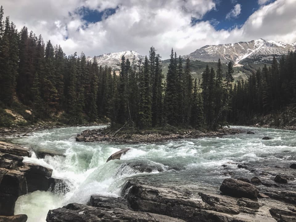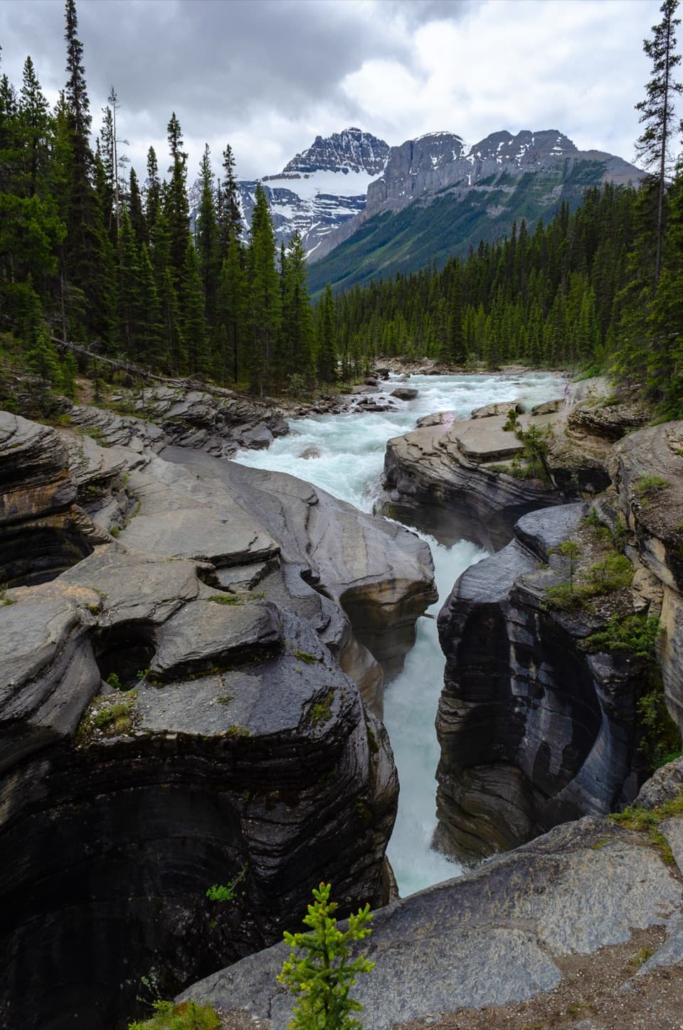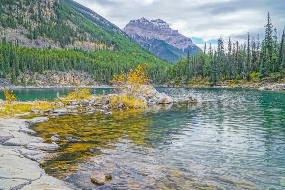
Horseshoe Lake in Icefields Parkway (Highway 93)

Sight · Icefields Parkway (Highway 93)

Horseshoe Lake

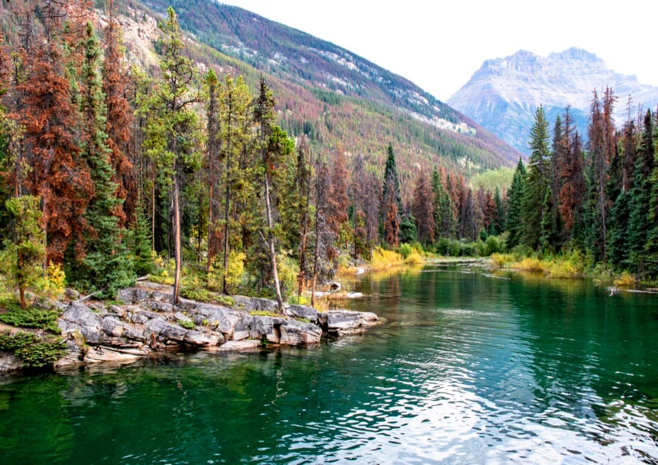
A clear, cold lake tucked beneath steep rock walls.

Photo: Unsplash License
Type
Sight
Nearest trail
Right here
Audio stories
4 nearby
  • Parking
  • Trailhead
  • Scenic viewpoint

Hear the audio tour

Horseshoe Lake: Clear Water and Cliff Views

Overview

About Horseshoe Lake

Why stop

  • Clear water beneath steep rock walls.

Heads up

  • Cold water and rough, faintly marked shore paths.

Map

Where it is

Loading the Icefields Parkway map
Full map
SightHorseshoe Lake52.69473, -117.86722
Keep this map with you offline in the Parkwolf app

Plan your stop

Before you go

2 active Icefields Parkway alerts

  • ClosureWildfire-impacted area closures in JasperStay out of the closed wildfire-impacted areas in Jasper National Park; access is prohibited or restricted to protect public safety.Official details
  • ClosureOpal Hills hiking area closed for grizzly bearThe Opal Hills hiking area is closed because a female grizzly bear with two offspring is in the area. - The closure took effect September 25, 2026, and remains in effect until further notice.Official details

Icefields Parkway alerts
A park ranger sits on a dash-mounted phone, talking, as Parkwolf’s Tour Guide plays “Army Cutworm Moths: A Grizzly Bear Buffet” on Grand Loop Road below Dunraven Pass in Yellowstone
Parkwolf Tour GuideThe highest, rockiest slopes around here are a summer buffet for grizzly bears.

Icefields Parkway Tour Guide

Your drive to Horseshoe Lake, narrated.

Parkwolf is a GPS audio tour guide for Icefields Parkway (Highway 93). As you drive, it chimes in with what’s ahead: hidden gems, upcoming stops, history, geology, and wildlife, right through your car’s speakers.

See the Icefields Parkway audio tour

Recorded for this place

Horseshoe Lake: Clear Water and Cliff Views
0:00 / 0:24
“Horseshoe Lake is coming up, a good stop for clear water tucked beneath steep rock walls.”

Plays as you drive up to Horseshoe Lake in the Parkwolf Icefields Parkway Tour Guide.

More stories near here in the app

  • Why Jasper Is Called Jasper
  • Chipmunk or Ground Squirrel?
  • The Meadow an Avalanche Keeps Open
  • Athabasca Falls: Follow the Canyon
  • 141 audio storiesacross Icefields Parkway’s roads, triggered by GPS as you drive
  • Wildlife heatmapsfor Grizzly Bear, Black Bear, Moose, and 13 more
  • Works offlinemaps, 54 trails, 57 places, and audio download before you lose signal
  • CarPlay readysimple controls built for the drive
★★★★★
“Fantastic app with many points of information… It’s great to just turn on while you’re driving and it gives you an audio tour of the national Park. We love it!!!!”
JMJamesApp Store review
Download Parkwolf on the App StoreGet Parkwolf on Google Play

4.7 from 8,600+ ratings

Guide

More about Horseshoe Lake

A quick lake stopHorseshoe Lake is a small lake just off Highway 93, about 28 km south of Jasper.

Horseshoe Lake is a small lake just off Highway 93, about 28 km south of Jasper. A short walk through trees from the roadside parking area brings you to the rocky shore and the lake’s steep rock walls. The circuit takes about 25 minutes at an easy pace; leave longer if you want to sit by the water. It’s a worthwhile leg-stretch on the Icefields Parkway, not a full-day hike.

Clear, cold waterThe water is strikingly clear, with submerged rocks visible along the shore.

The water is strikingly clear, with submerged rocks visible along the shore. Swimming and paddling are common ways to enjoy the lake, but the water stays cold and parts of the shore rise into steep cliffs. Keep to stable ground around the edges. For a photo, include the rocky shallows in the foreground with the cliffs and mountain beyond; it gives the water its depth and color.

A landscape still recoveringThe 2024 wildfire left charred trees and fallen logs around the lake.

The 2024 wildfire left charred trees and fallen logs around the lake. New growth is appearing, but the fire remains part of the view and gives the shoreline a changed, more open feel.

Finding the shoreThe parking area is small, and the short paths can be rooty, uneven, and faintly marked.

The parking area is small, and the short paths can be rooty, uneven, and faintly marked. Allow time to find your way and turn back if a route becomes unclear. There is no food stop at the lake, so bring water and snacks before leaving Jasper.

Wildlife

Wildlife in Icefields Parkway

All Icefields Parkway wildlife maps

Sighting maps show where each species has been reported across Icefields Parkway. Wildlife moves, so no sighting is guaranteed.

Parkwolf’s Icefields Parkway ranking

Top sights in Icefields Parkway

All 57 places
  1. 1Athabasca GlacierSight
  2. 2Peyto Lake ViewpointSight
  3. 3Athabasca FallsSight
  4. 4Bow LakeSight
  5. 5Sunwapta FallsSight
  6. 6Mistaya CanyonSight

Take Parkwolf to Icefields Parkway.

The audio tour guide for the drive, plus offline maps, trails, and wildlife heatmaps for when the signal drops.

4.7 from 8,600+ ratings

Download Parkwolf on the App StoreGet Parkwolf on Google Play