Parking
Use the Mistaya Canyon parking area on the west side of the Icefields Parkway. It is about 5 km south of the Highway 11 junction; follow the signed canyon approach for Sarbach Lookout.

Icefields Parkway (Highway 93), AB
A muddy start and a long climb to views of Howse Pass.
Overview
Map & elevation
Plan your hike

The highest, rockiest slopes around here are a summer buffet for grizzly bears.
Icefields Parkway Tour Guide
Parkwolf is a GPS audio tour guide for Icefields Parkway (Highway 93). As you drive, it chimes in with what’s ahead: hidden gems, upcoming stops, history, geology, and wildlife, right through your car’s speakers.
See the Icefields Parkway audio tourRecorded for this trailhead
Mistaya Canyon: The Twisting Channel“Mistaya Canyon is coming up, a good half-hour stop for a close look at a twisting river gorge.”
Plays as you drive up to this trailhead in the Parkwolf Icefields Parkway Tour Guide.
More stories near here in the app
“Fantastic app with many points of information… It’s great to just turn on while you’re driving and it gives you an audio tour of the national Park. We love it!!!!”


Trail guide
Sarbach Lookout is a difficult out-and-back from Mistaya Canyon parking, about 10.6 km (6.6 mi) round trip with roughly 530 m of net climbing. Allow five to six hours. The route starts by dropping into the Mistaya Canyon area, follows the river and wet ground, then climbs to the former fire lookout. The payoff is a wide view toward Glacier Lake and Howse Pass. If the canyon is all you have time for, stop there; this is a much longer hike beyond it.
From the parking lot, follow the signed approach toward Mistaya Canyon and Sarbach Lookout. Cross the bridge, turn right up the bank shortly afterward, then take the southwest branch at the junction about 200 m farther on. The other branch heads toward the Howse River. Stay on the lookout route; Mount Sarbach itself is a separate, difficult scramble.
The trail descends into the canyon and follows the Mistaya River. Around 1.7 km in, it reaches a river viewpoint, then turns away from the bank and crosses about a kilometre of boggy ground. Expect this stretch to be wet, especially early in the season. After the bog, the route climbs steadily, gaining roughly 370 m over the next 2.5 km. The last 200 m is bordered by rocks, so save some attention for your footing as the view opens.
The destination is the site of an old fire lookout tower, abandoned in 1971. From the rocky end of the trail, the view takes in Glacier Lake, Howse Pass and the surrounding mountain valleys. This is the lookout walk, not the Mount Sarbach summit route; the summit approach is a different and much more serious undertaking.
Wildlife
 12 sightingsGrizzly BearMost seen around 6 AMSighting map
 127 sightingsBlack BearMost seen around 7 PMSighting map
 16 sightingsMooseMost seen around 6 AMSighting map
 100 sightingsElkMost seen around 8 PMSighting map
 34 sightingsMountain GoatMost seen around 7 PMSighting map
 53 sightingsBighorn SheepMost seen around 6 PMSighting map
Sighting maps show where each species has been reported across Icefields Parkway. Wildlife moves, so no sighting is guaranteed.
Keep exploring
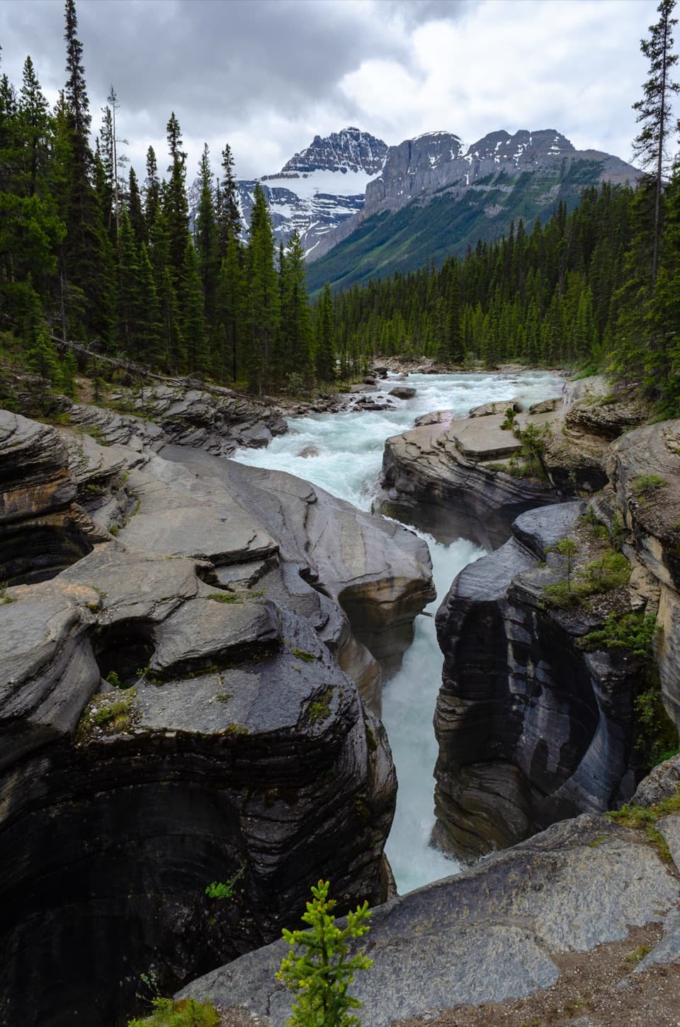 EasyMistaya Canyon Trail1 km · 30 min · At the trailheadA quick downhill walk to a canyon of twisting whitewater.
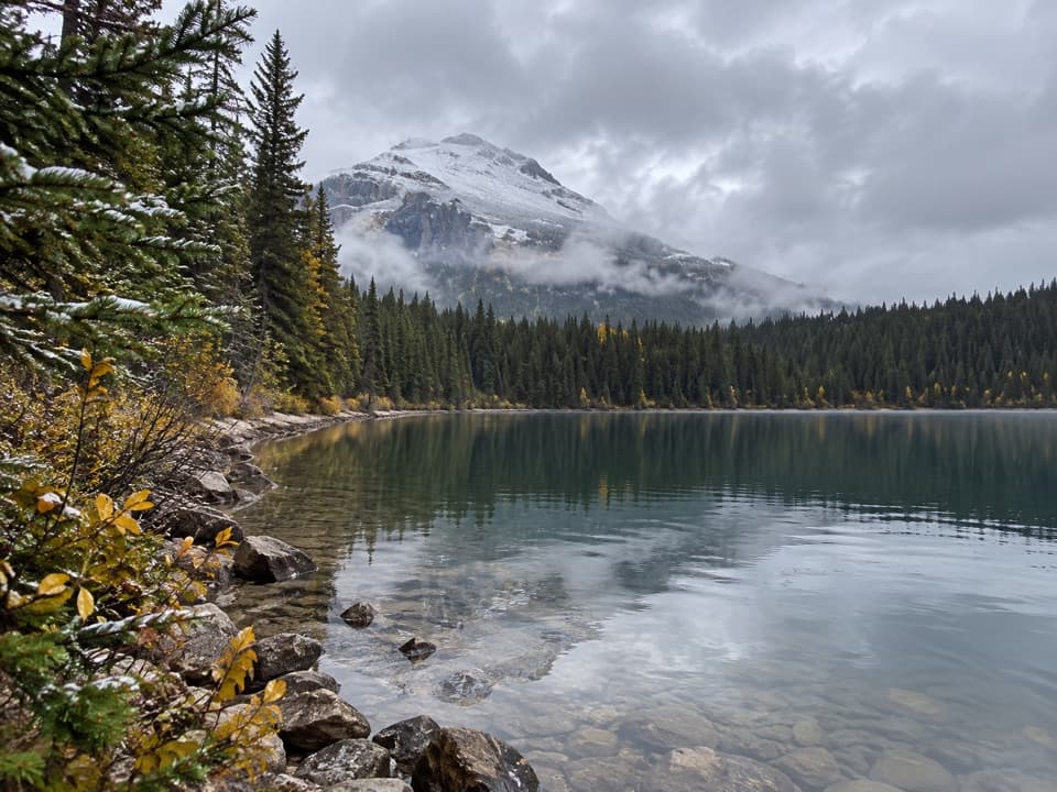 ChallengingGlacier Lake Trail17.6 km · 6.5 hr · 4.6 km awayA full-day forest hike to a lake beneath high peaks.
 ModerateChephren Lake Trail8.2 km · 2.8 hr · 12.5 km awayA rooty forest out-and-back to a turquoise lake beneath towering peaks.
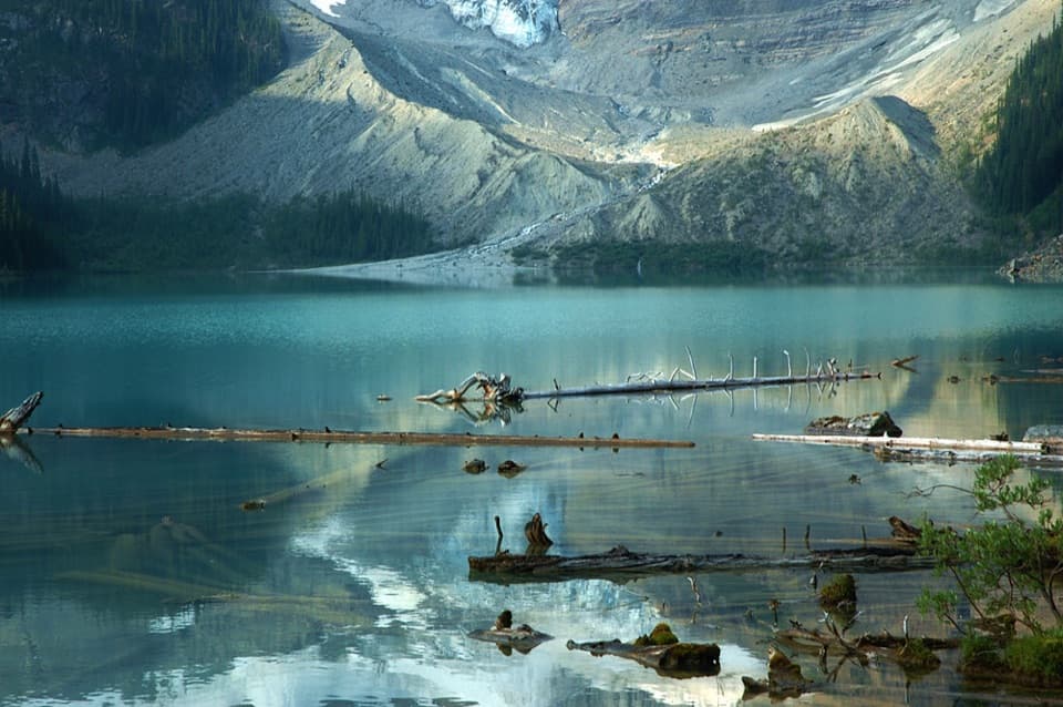 ModerateCirque Lake Trail9.2 km · 3 hr · 12.5 km awayBeyond the forest, a boulder shore opens to glacier views.
 EasyUpper Waterfowl Lake Trail1.7 km · 45 min · 13.1 km awayA quick bridge crossing opens onto turquoise Upper Waterfowl Lake.
 ChallengingSunset Lookout Trail9 km · 3.5 hr · 19.4 km awayA former fire lookout frames a braided valley and mountain skyline.
 ChallengingSunset Pass Trail16.4 km · 6.5 hr · 19.4 km awayA hard climb to a high pass above turquoise Pinto Lake.Sight · 0.3 km awayMistaya CanyonA short walk drops to a bridge over twisting, sculpted whitewater.
 Scenic pullout · 3.7 km awayHowse Pass ViewpointA short loop opens onto a broad, braided river valley.
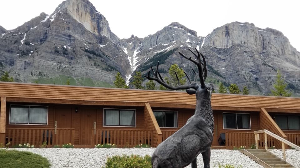 Lodging · 4.2 km awayThe Crossing ResortA remote motel and service stop on a long, sparsely served drive.Sight · 11.5 km awayChephren LakeA rooty forest hike ends at a glacial lake beneath big peaks.
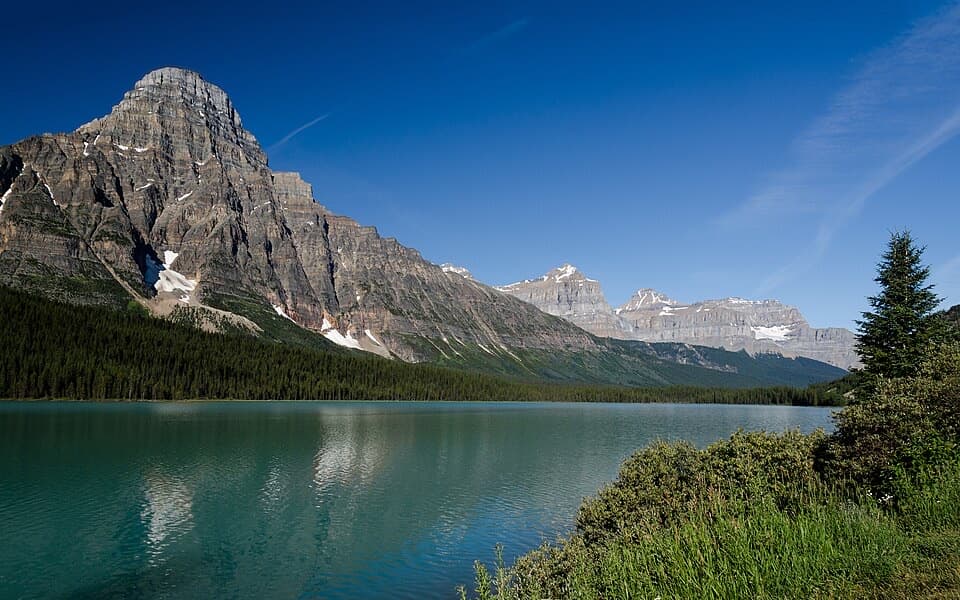 Scenic pullout · 11.8 km awayLower Waterfowl Lake ViewpointA quick pull-off for turquoise water and Mount Chephren.
 Campground · 12.7 km awayWaterfowl Lakes CampgroundCamp between glacier-fed lakes, and plan to go offline.
 Sight · 14.1 km awayUpper Waterfowl LakeTurquoise water and mountain reflections reward a short shore walk.
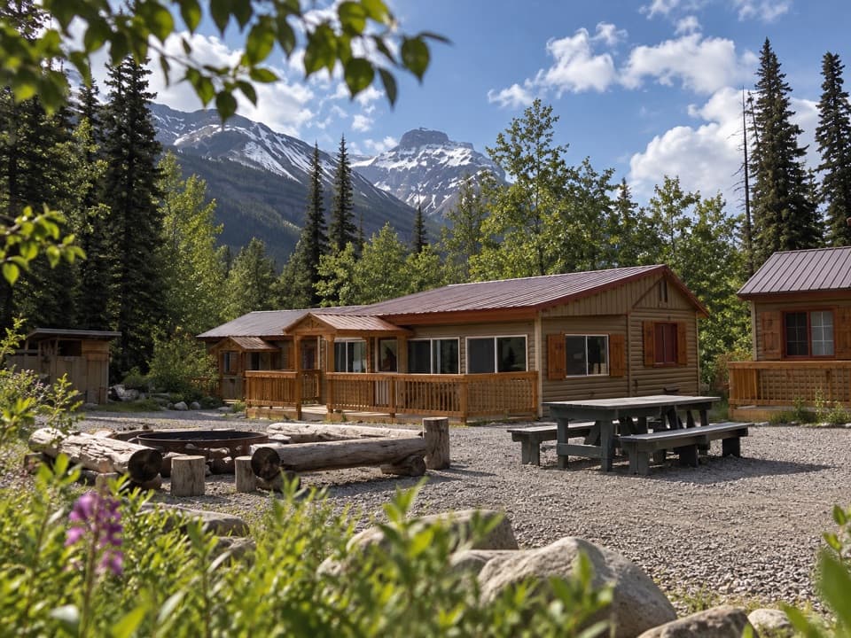 Lodging · 15.1 km awayHI Rampart Creek Wilderness HostelA shared, off-grid base with a mountain backdrop.
Parkwolf’s Icefields Parkway ranking

The audio tour guide for the drive, plus offline maps, trails, and wildlife heatmaps for when the signal drops.





