Parking
Use Glacier Lake parking lot, about 1 km north of Saskatchewan River Crossing on Highway 93N. Park in the marked lot; roadside parking is prohibited in Banff. Lot capacity, fees, and amenities were not found.
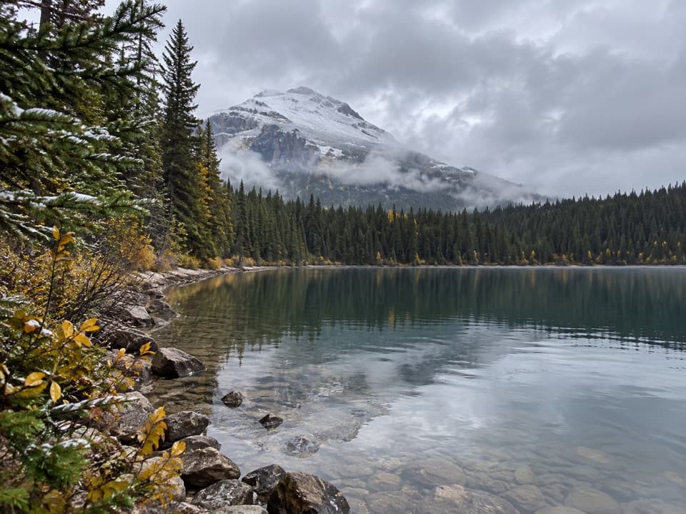
Icefields Parkway (Highway 93), AB
A full-day forest hike to a lake beneath high peaks.
Overview
Glacier Lake Trail is an 8.8-kilometre one-way out-and-back from the Icefields Parkway to Glacier Lake, a mountain lake tucked into a wooded valley. The mapped line follows the route once; walking back makes it 17.6 kilometres total. Give it six to seven hours. The trail is straightforward to follow, but it rolls, climbs and descends for a long way, so this is a full-day hike rather than a quick lake stop. If you only have a shorter window, the Howse River red chairs make a worthwhile earlier turnaround, but that walk does not reach Glacier Lake.
 Parkwolf’s verdictIs this a full-day hike for you?
Map & elevation
Plan your hike

The highest, rockiest slopes around here are a summer buffet for grizzly bears.
Icefields Parkway Tour Guide
Parkwolf is a GPS audio tour guide for Icefields Parkway (Highway 93). As you drive, it chimes in with what’s ahead: hidden gems, upcoming stops, history, geology, and wildlife, right through your car’s speakers.
See the Icefields Parkway audio tourRecorded for this trailhead
Glacier Lake: A Full Day or a River View“You're approaching the Glacier Lake trailhead, the start of a full-day forest hike to a lake beneath high peaks.”
Plays as you drive up to this trailhead in the Parkwolf Icefields Parkway Tour Guide.
More stories near here in the app
“Fantastic app with many points of information… It’s great to just turn on while you’re driving and it gives you an audio tour of the national Park. We love it!!!!”


Trail guide
Start at Glacier Lake parking lot, about one kilometre north of Saskatchewan River Crossing on Highway 93N. The path heads gently downhill, with a small side viewpoint near the start. A little over a kilometre in, a high bridge carries you over the North Saskatchewan River. Continue to the red chairs above the Howse River for a broad look down the braided valley toward Mount Sarbach. It is a good place to pause, but it is still only the beginning of the full lake hike.
After the viewpoint, the trail follows the braided Howse River for a couple of kilometres. The pale channels spread across a wide valley, with forested slopes rising on either side. This stretch gives you the most open river scenery before the route turns away from the valley and heads into the trees.
The trail climbs gradually through dark forest for about three kilometres. There are log bridges along the way, but not many open views; this is the steady middle stretch to settle into rather than rush. Near the end, the route drops more steeply for about a kilometre and a half to the lake. The outbound walk loses about 275 metres overall, with rolling ground along the way, so save energy for the return over the same hills.
The lake sits below the high peaks of the upper valley, with a forested shore and a long mountain backdrop. When the water is calm, it reflects the slopes across the basin; leave time to look around before turning back. Parks Canada notes that the trail can become snow-free early in the season compared with many other Banff hikes, though conditions still vary. There are no verified food or water services along the route, so bring what you need for the day. Dogs are allowed in summer unless a trail restriction is posted; keep them leashed and under physical control.
Wildlife
 12 sightingsGrizzly BearMost seen around 6 AMSighting map
 127 sightingsBlack BearMost seen around 7 PMSighting map
 16 sightingsMooseMost seen around 6 AMSighting map
 100 sightingsElkMost seen around 8 PMSighting map
 34 sightingsMountain GoatMost seen around 7 PMSighting map
 53 sightingsBighorn SheepMost seen around 6 PMSighting map
Sighting maps show where each species has been reported across Icefields Parkway. Wildlife moves, so no sighting is guaranteed.
Keep exploring
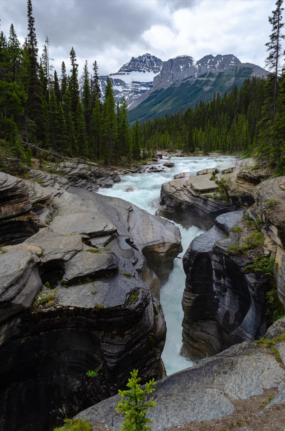 EasyMistaya Canyon Trail1 km · 30 min · 4.6 km awayA quick downhill walk to a canyon of twisting whitewater.
 ChallengingSarbach Lookout Trail10.6 km · 5.5 hr · 4.6 km awayA muddy start and a long climb to views of Howse Pass.
 ChallengingSunset Lookout Trail9 km · 3.5 hr · 14.8 km awayA former fire lookout frames a braided valley and mountain skyline.
 ChallengingSunset Pass Trail16.4 km · 6.5 hr · 14.8 km awayA hard climb to a high pass above turquoise Pinto Lake.
 ModerateChephren Lake Trail8.2 km · 2.8 hr · 17.1 km awayA rooty forest out-and-back to a turquoise lake beneath towering peaks.
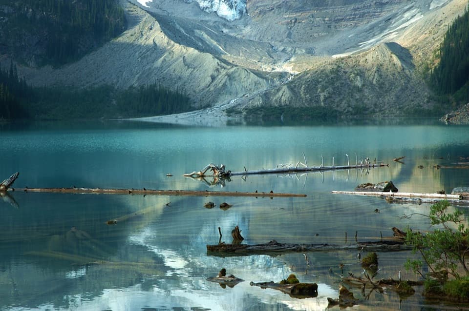 ModerateCirque Lake Trail9.2 km · 3 hr · 17.1 km awayBeyond the forest, a boulder shore opens to glacier views.
 EasyUpper Waterfowl Lake Trail1.7 km · 45 min · 17.7 km awayA quick bridge crossing opens onto turquoise Upper Waterfowl Lake.
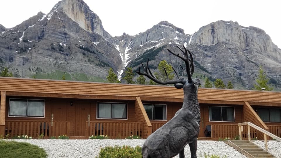 Lodging · 0.9 km awayThe Crossing ResortA remote motel and service stop on a long, sparsely served drive.
 Scenic pullout · 1.5 km awayHowse Pass ViewpointA short loop opens onto a broad, braided river valley.Sight · 4.3 km awayMistaya CanyonA short walk drops to a bridge over twisting, sculpted whitewater.
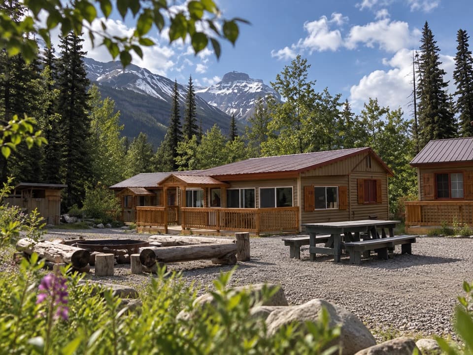 Lodging · 10.5 km awayHI Rampart Creek Wilderness HostelA shared, off-grid base with a mountain backdrop.
 Campground · 10.6 km awayRampart Creek CampgroundA quiet riverside overnight on a long drive with few services.Sight · 16 km awayChephren LakeA rooty forest hike ends at a glacial lake beneath big peaks.
Parkwolf’s Icefields Parkway ranking
The audio tour guide for the drive, plus offline maps, trails, and wildlife heatmaps for when the signal drops.





