Parking
Use the Mistaya Canyon parking area just off the Icefields Parkway; the turnoff comes up quickly around a bend.
Icefields Parkway (Highway 93), AB
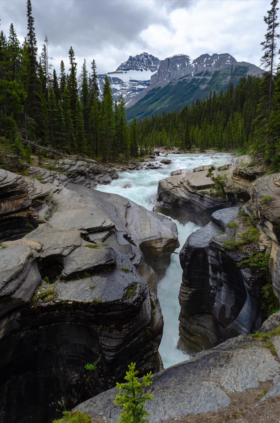
A quick downhill walk to a canyon of twisting whitewater.
Overview
Map & elevation
Plan your hike

The highest, rockiest slopes around here are a summer buffet for grizzly bears.
Icefields Parkway Tour Guide
Parkwolf is a GPS audio tour guide for Icefields Parkway (Highway 93). As you drive, it chimes in with what’s ahead: hidden gems, upcoming stops, history, geology, and wildlife, right through your car’s speakers.
See the Icefields Parkway audio tourRecorded for this trailhead
Mistaya Canyon: The Twisting Channel“Mistaya Canyon is coming up, a good half-hour stop for a close look at a twisting river gorge.”
Plays as you drive up to this trailhead in the Parkwolf Icefields Parkway Tour Guide.
More stories near here in the app
“Fantastic app with many points of information… It’s great to just turn on while you’re driving and it gives you an audio tour of the national Park. We love it!!!!”


Trail guide
Mistaya Canyon Trail is an easy out-and-back, about 0.6 miles round trip, from the Icefields Parkway to a footbridge over the Mistaya River and back. Allow about 30 minutes with time to look. The path drops through trees to the gorge, then climbs back to the road. It's a good leg-stretching stop on the drive, not a long hike.
A short gravel path leads from the roadside parking area to the footbridge. From there, you can look into the canyon before retracing the same route uphill. Some descriptions show a longer 1.8-kilometer loop, but I couldn't confirm its added return path in the mapped trail network. Plan on the bridge out-and-back and follow on-site signs if you continue farther.
The Mistaya River flows from Peyto Lake and has spent thousands of years cutting through limestone. From the bridge, look down the zigzag channel at smooth, curved rock and fast whitewater squeezed into narrow bends. The bridge gives you the canyon view without needing to scramble along its edge; it's also the best place to frame the sculpted walls and water together.
The road-to-canyon descent is short but steep enough that you'll notice the climb back. Stay on the designated path and viewpoints: rocks near the canyon edge can be slippery, and the drop to the rushing water is serious. Dogs are allowed on leash and under control.
Wildlife
 12 sightingsGrizzly BearMost seen around 6 AMSighting map
 127 sightingsBlack BearMost seen around 7 PMSighting map
 16 sightingsMooseMost seen around 6 AMSighting map
 100 sightingsElkMost seen around 8 PMSighting map
 34 sightingsMountain GoatMost seen around 7 PMSighting map
 53 sightingsBighorn SheepMost seen around 6 PMSighting map
Sighting maps show where each species has been reported across Icefields Parkway. Wildlife moves, so no sighting is guaranteed.
Keep exploring
 ChallengingSarbach Lookout Trail10.6 km · 5.5 hr · At the trailheadA muddy start and a long climb to views of Howse Pass.
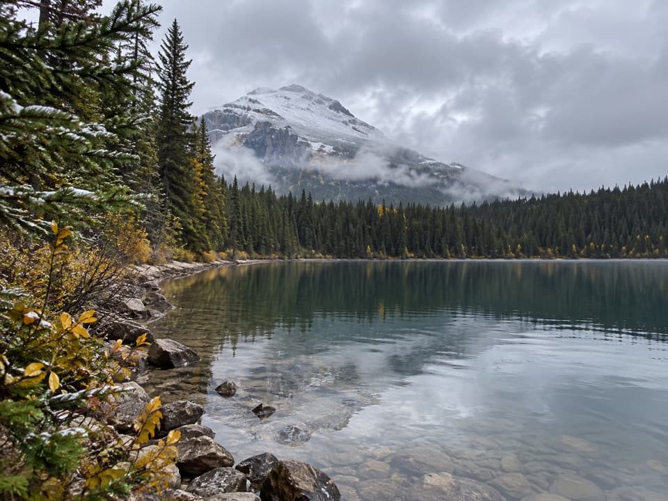 ChallengingGlacier Lake Trail17.6 km · 6.5 hr · 4.6 km awayA full-day forest hike to a lake beneath high peaks.
 ModerateChephren Lake Trail8.2 km · 2.8 hr · 12.5 km awayA rooty forest out-and-back to a turquoise lake beneath towering peaks.
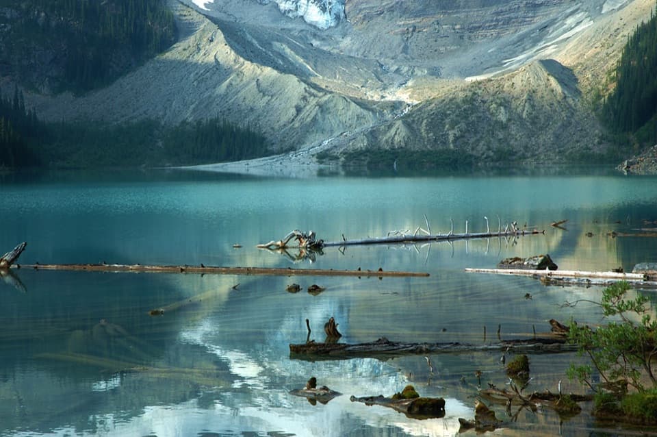 ModerateCirque Lake Trail9.2 km · 3 hr · 12.5 km awayBeyond the forest, a boulder shore opens to glacier views.
 EasyUpper Waterfowl Lake Trail1.7 km · 45 min · 13.1 km awayA quick bridge crossing opens onto turquoise Upper Waterfowl Lake.
 ChallengingSunset Lookout Trail9 km · 3.5 hr · 19.4 km awayA former fire lookout frames a braided valley and mountain skyline.
 ChallengingSunset Pass Trail16.4 km · 6.5 hr · 19.4 km awayA hard climb to a high pass above turquoise Pinto Lake.Sight · 0.3 km awayMistaya CanyonA short walk drops to a bridge over twisting, sculpted whitewater.
 Scenic pullout · 3.7 km awayHowse Pass ViewpointA short loop opens onto a broad, braided river valley.
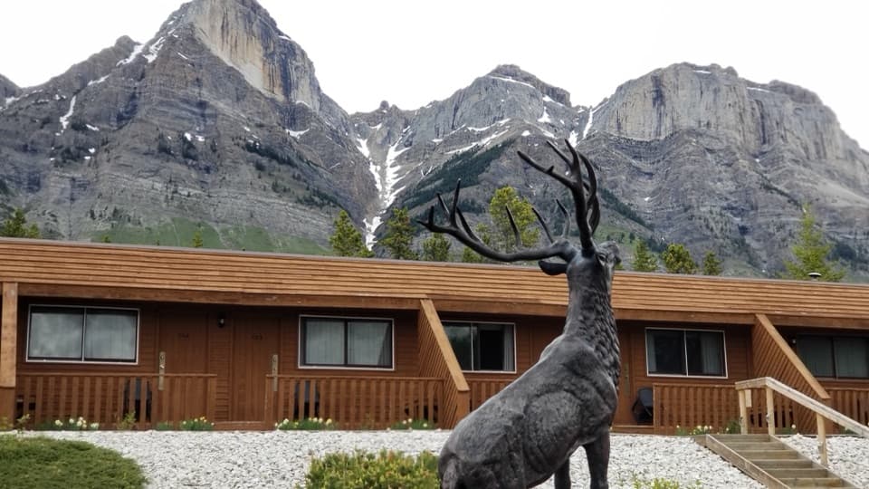 Lodging · 4.2 km awayThe Crossing ResortA remote motel and service stop on a long, sparsely served drive.Sight · 11.6 km awayChephren LakeA rooty forest hike ends at a glacial lake beneath big peaks.
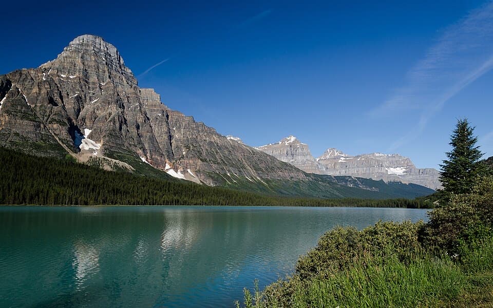 Scenic pullout · 11.9 km awayLower Waterfowl Lake ViewpointA quick pull-off for turquoise water and Mount Chephren.
 Campground · 12.7 km awayWaterfowl Lakes CampgroundCamp between glacier-fed lakes, and plan to go offline.
 Sight · 14.2 km awayUpper Waterfowl LakeTurquoise water and mountain reflections reward a short shore walk.
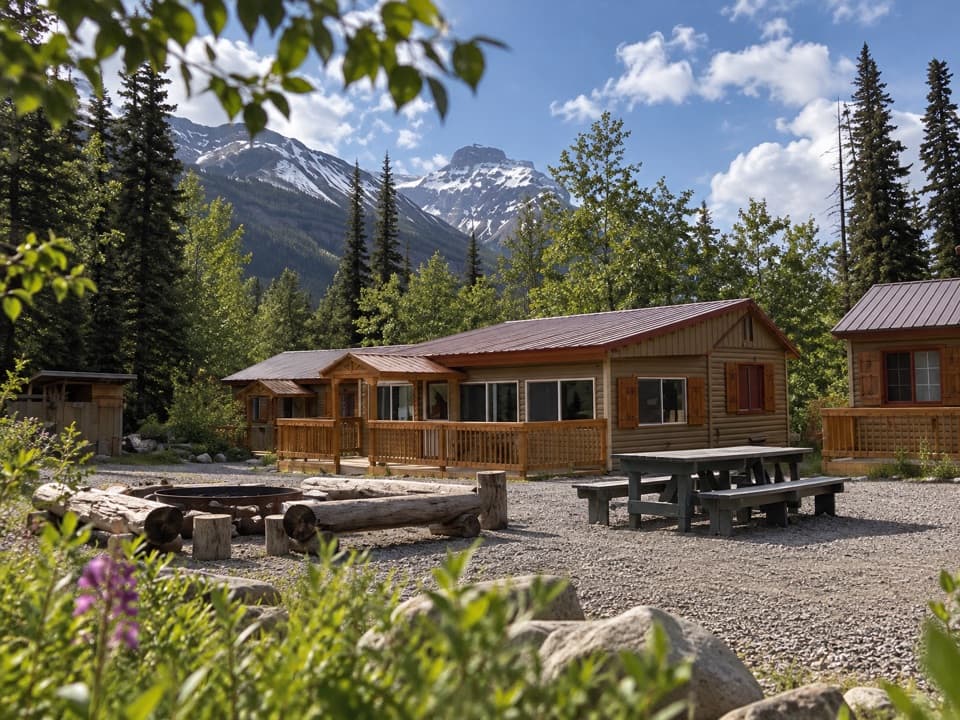 Lodging · 15.1 km awayHI Rampart Creek Wilderness HostelA shared, off-grid base with a mountain backdrop.
Parkwolf’s Icefields Parkway ranking

The audio tour guide for the drive, plus offline maps, trails, and wildlife heatmaps for when the signal drops.





