Parking
Use P15 on the Icefields Parkway, about 9 km south of Jasper; the trail begins on the shared Wetland Way approach from the lot. A map board and outhouse are at the parking area. The lot can fill during busy summer hours.

#7 of 54 trails in Icefields Parkway
Icefields Parkway (Highway 93), AB
A boardwalk, five blue-green lakes, and rocky little rises.
Overview
Map & elevation
Plan your hike

The highest, rockiest slopes around here are a summer buffet for grizzly bears.
Icefields Parkway Tour Guide
Parkwolf is a GPS audio tour guide for Icefields Parkway (Highway 93). As you drive, it chimes in with what’s ahead: hidden gems, upcoming stops, history, geology, and wildlife, right through your car’s speakers.
See the Icefields Parkway audio tourRecorded for this trailhead
Valley of the Five Lakes: The Emerald Loop“You're nearing the Valley of the Five Lakes trailhead, where the Emerald Loop is my choice for a walk among blue-green lakes.”
Plays as you drive up to this trailhead in the Parkwolf Icefields Parkway Tour Guide.
More stories near here in the app
“Fantastic app with many points of information… It’s great to just turn on while you’re driving and it gives you an audio tour of the national Park. We love it!!!!”


Trail guide
The Emerald Loop is the 5.4 km circuit from P15 through the wetland approach and around all five lakes. The official map calls the lake circuit Emerald Circuit; the current trail list calls it Emerald Loop. Allow about 1.5 to 2 hours with pauses. Parks Canada rates it moderate, and a 2026 route guide estimates 80 m of gain. It is a short outing, but not a flat lakeside stroll: expect rocky footing, rolling ground, and a few short, steep rises.
This is the all-five-lakes option. Wetland Way alone is an easier 1.8 km return. Valley Loop is a separate 7.7 km circuit with a different shoreline route, so keep its distance separate. The Emerald route gives you the most complete version of the famous turquoise-water walk.
Start at P15, about 9 km south of Jasper on the Icefields Parkway. The shared Wetland Way approach is gentle and mostly flat. It crosses the Wabasso Creek wetlands on a pedestrian boardwalk or bridge, with benches nearby. Beyond that, the trail climbs a grassy slope and crosses a meadow to a four-way junction. Stay on the built path through the slope; cutting across it has caused erosion.
From the junction, follow the Emerald markers. The circuit threads past the lakes rather than simply following one continuous shore. Some sections are stony and uneven, with short climbs and descents between them. The loop returns to the junction and retraces the Wetland Way to P15, so the total distance includes that shared approach in both directions.
The red chairs and picnic tables between lakes three and four are the best place to stop for a while. From there, Mount Edith Cavell is visible to the south when the view is clear. For a photo, use the red chairs as foreground and include the water and mountain behind them; it gives the picture a sense of scale and shows exactly where you are on the circuit.
The fifth lake is still part of the route, but its small dock is gone. Expect a lakeshore stop rather than the old dockside view. Early starts can be especially rewarding for reflections and a quieter walk; visitor reports and the 2026 trail guide both point to the morning as a good time to be there.
The 2024 Jasper wildfire changed the look of this walk. Burned trunks remain in places, while grasses and new forest growth are coming back; the more open sections also reveal wider mountain views than the old canopy did. Yellow arnica and fresh grasses are noticeable in summer. Some visitors find the burn scar stark, while others like the new sightlines and the lakes’ color. If uninterrupted forest shade is the main reason you hike, this version may disappoint; the lakes and open mountain views still make a strong short circuit.
P15 has a parking area, a trail map board, and an outhouse. The lot can fill during busy summer hours. Picnic tables are on the circuit between lakes three and four; food service and potable water on the route were not found. Dogs are allowed on this route, but Parks Canada requires them to stay on a leash no longer than 3 m.
Wildlife
 12 sightingsGrizzly BearMost seen around 6 AMSighting map
 127 sightingsBlack BearMost seen around 7 PMSighting map
 16 sightingsMooseMost seen around 6 AMSighting map
 100 sightingsElkMost seen around 8 PMSighting map
 34 sightingsMountain GoatMost seen around 7 PMSighting map
 53 sightingsBighorn SheepMost seen around 6 PMSighting map
Sighting maps show where each species has been reported across Icefields Parkway. Wildlife moves, so no sighting is guaranteed.
Keep exploring
ModerateValley Loop at the Valley of the Five Lakes7.7 km · 2.5 hr · At the trailheadA longer First Lake circuit with a bench at Reflection Point. EasyWetland Way1.8 km · 30 min · At the trailheadA flat, easy 1.8 km return to Wabasso Creek’s wetland boardwalk.
 ChallengingTonquin Valley Trail46 km · 20 hr · 4.6 km awayCross Maccarib Pass to a lake beneath the Ramparts.
 ModerateWabasso Lake Trail6.8 km · 2.5 hr · 5.2 km awayBeaver-made lake and a mountain view from the last ridge.
 ModerateWabasso–Five Lakes Trail10 km · 4.5 hr · 5.2 km awayA longer through-walk linking Wabasso Lake with the Five Lakes area.
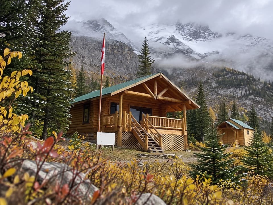 ChallengingCurator Trail13.6 km · 6 hr · 5.2 km awayA steep climb from the highway into the Skyline’s high country.
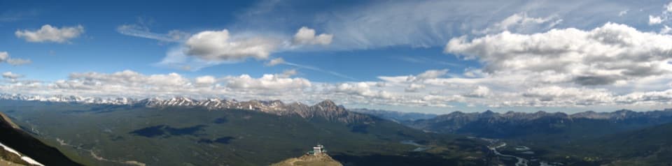 ChallengingThe Whistlers Trail13.6 km · 7 hr · 7.2 km awaySteep 14 km out and back to alpine summit views over Jasper.
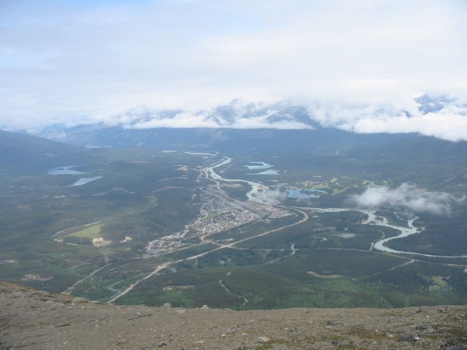 ModerateThe Whistlers Summit Trail2.7 km · 1.5 hr · 7.6 km awayA steep SkyTram summit climb with wide alpine views.
 Campground · 4.3 km awayWapiti CampgroundA riverside Jasper base with RV hookups and included showers.
 Campground · 5.8 km awayWhistlers CampgroundA huge campground near Jasper, with showers and a path to town.
 Visitor center · 8.6 km awayJasper Park Information CentrePark maps and trail advice inside Jasper’s 1914 stone-and-timber landmark.
Parkwolf’s Icefields Parkway ranking

The audio tour guide for the drive, plus offline maps, trails, and wildlife heatmaps for when the signal drops.





