Parking
Use P14 on Whistlers Road. From Highway 93 about 1.8 km south of Jasper, turn onto Whistlers Road; after 2.8 km, take the unpaved access road on the left and continue a short distance to the lot.
Icefields Parkway (Highway 93), AB
Steep 14 km out and back to alpine summit views over Jasper.
Overview
Map & elevation
Plan your hike

The highest, rockiest slopes around here are a summer buffet for grizzly bears.
Icefields Parkway Tour Guide
Parkwolf is a GPS audio tour guide for Icefields Parkway (Highway 93). As you drive, it chimes in with what’s ahead: hidden gems, upcoming stops, history, geology, and wildlife, right through your car’s speakers.
See the Icefields Parkway audio tourRecorded for this trailhead
Whistlers Mountain: Choose Your Climb“You're approaching Whistlers Mountain's trail access. The full climb from Whistlers Road is a steep, five-to-eight-hour return hike to views over the Athabasca and Miette valleys.”
Plays as you drive up to this trailhead in the Parkwolf Icefields Parkway Tour Guide.
More stories near here in the app
“Fantastic app with many points of information… It’s great to just turn on while you’re driving and it gives you an audio tour of the national Park. We love it!!!!”


Trail guide
The Whistlers Trail is a steep out-and-back from P14 on Whistlers Road to the mountain summit. The live trail listing gives 13.6 km (8.5 miles) round trip; the 2026 printed map gives 7.3 km one way, while the mapped corridor measures about 7.0 km each way. Treat the mileage as approximate and plan for roughly 14 km. Allow five to eight hours; about seven is a sensible day with stops. The summit-only Trail 5a is a separate 2.2 km return walk from the upper tram terminal, reached by tram, and is a much shorter way to see the top.
Expect a sustained switchbacking ascent. The first kilometre or two can be bright with July wildflowers. About a third of the way up, the grade eases near the tram cables and midpoint tower; from there the route keeps gaining through montane and subalpine forest toward open alpine ground. The climb crosses all three of Jasper’s elevation zones, so the scenery changes as the trees thin.
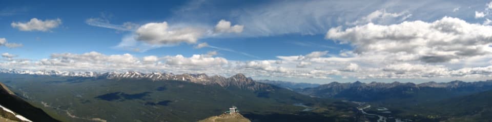
The upper terminal sits below the summit, and the final alpine stretch is shared with tram visitors. Stay on the marked path to protect the fragile alpine vegetation here. The top opens to broad views over the Miette and Athabasca valleys and surrounding peaks; Mount Robson can appear on a clear day.
There’s no drinking water on the route. Weather gets colder higher up, and snow on the upper slopes in spring and fall can bring avalanche danger. Carry enough water for the full day and an extra layer and rain shell. The trail closes to the public from November 1 through May 15 to protect caribou habitat. Dogs are allowed but must stay on a leash.
The alpine zone is a different world from the lower forest: low, wind-shaped krummholz gives way to rocky slopes, flowers and lingering snow. Look for mountain avens and globe flowers, and keep an eye out for pikas, marmots, ground squirrels and ptarmigan. Larger wildlife, including mountain goats, caribou and grizzlies, is possible but never something to count on.
Wildlife
 12 sightingsGrizzly BearMost seen around 6 AMSighting map
 127 sightingsBlack BearMost seen around 7 PMSighting map
 16 sightingsMooseMost seen around 6 AMSighting map
 100 sightingsElkMost seen around 8 PMSighting map
 34 sightingsMountain GoatMost seen around 7 PMSighting map
 53 sightingsBighorn SheepMost seen around 6 PMSighting map
Sighting maps show where each species has been reported across Icefields Parkway. Wildlife moves, so no sighting is guaranteed.
Keep exploring
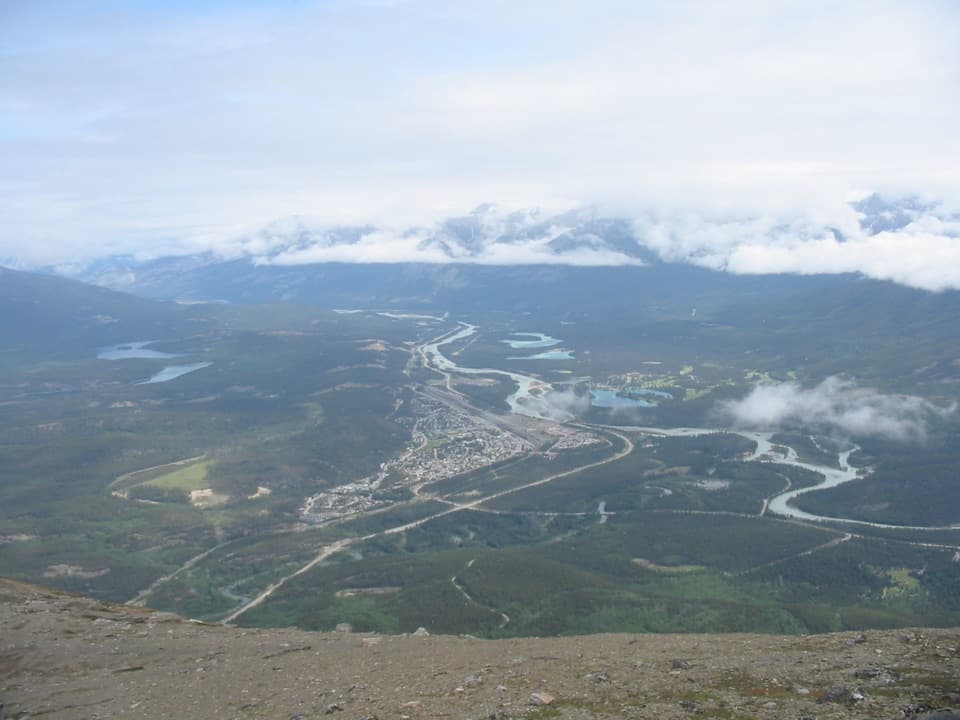 ModerateThe Whistlers Summit Trail2.7 km · 1.5 hr · 1.9 km awayA steep SkyTram summit climb with wide alpine views.
 ModerateEmerald Loop at the Valley of the Five Lakes5.4 km · 1.8 hr · 7.2 km awayA boardwalk, five blue-green lakes, and rocky little rises.ModerateValley Loop at the Valley of the Five Lakes7.7 km · 2.5 hr · 7.2 km awayA longer First Lake circuit with a bench at Reflection Point.
 EasyWetland Way1.8 km · 30 min · 7.2 km awayA flat, easy 1.8 km return to Wabasso Creek’s wetland boardwalk.
 ChallengingTonquin Valley Trail46 km · 20 hr · 7.7 km awayCross Maccarib Pass to a lake beneath the Ramparts.
 ModerateWabasso Lake Trail6.8 km · 2.5 hr · 12.3 km awayBeaver-made lake and a mountain view from the last ridge.
 ModerateWabasso–Five Lakes Trail10 km · 4.5 hr · 12.3 km awayA longer through-walk linking Wabasso Lake with the Five Lakes area.
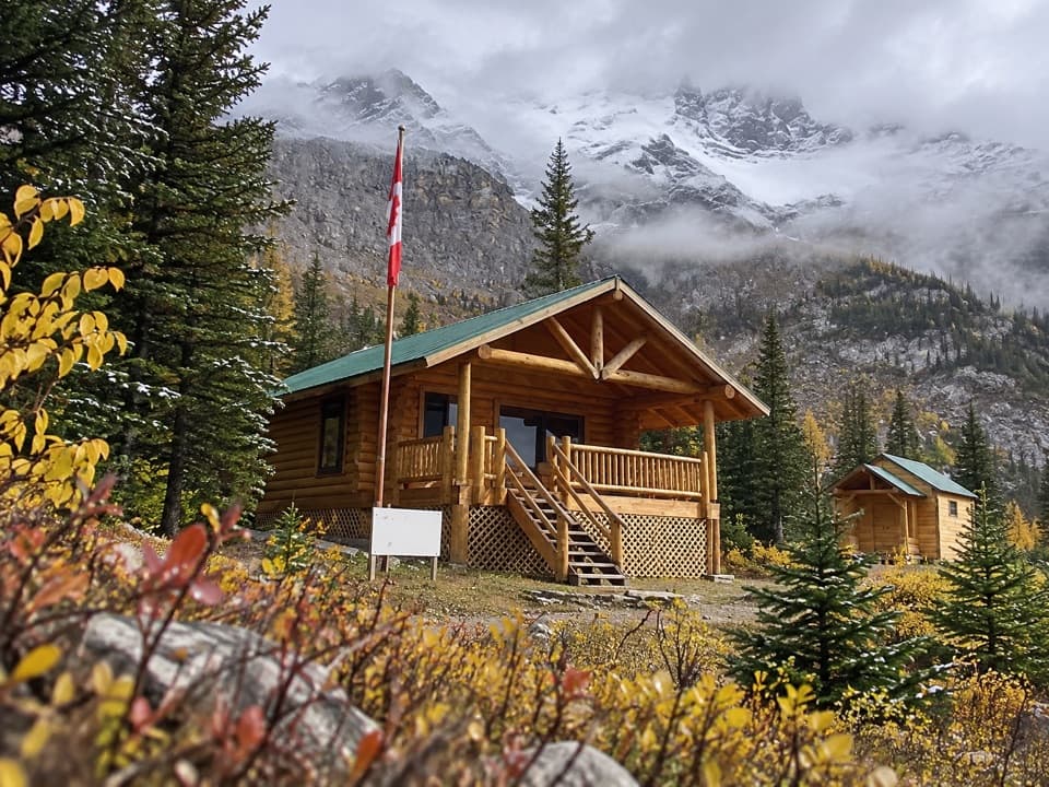 ChallengingCurator Trail13.6 km · 6 hr · 12.3 km awayA steep climb from the highway into the Skyline’s high country.
 Campground · 1.8 km awayWhistlers CampgroundA huge campground near Jasper, with showers and a path to town.
 Campground · 3.1 km awayWapiti CampgroundA riverside Jasper base with RV hookups and included showers.
 Visitor center · 3.7 km awayJasper Park Information CentrePark maps and trail advice inside Jasper’s 1914 stone-and-timber landmark.
Parkwolf’s Icefields Parkway ranking

The audio tour guide for the drive, plus offline maps, trails, and wildlife heatmaps for when the signal drops.





