Parking
Start at P16 on the Icefields Parkway, about 14.6 km south of Jasper; finish at P15, about 9 km south. Arrange a pickup or a second car at P15. Both are marked parking areas.

Icefields Parkway (Highway 93), AB
A longer through-walk linking Wabasso Lake with the Five Lakes area.
Overview
Map & elevation
Plan your hike

The highest, rockiest slopes around here are a summer buffet for grizzly bears.
Icefields Parkway Tour Guide
Parkwolf is a GPS audio tour guide for Icefields Parkway (Highway 93). As you drive, it chimes in with what’s ahead: hidden gems, upcoming stops, history, geology, and wildlife, right through your car’s speakers.
See the Icefields Parkway audio tourRecorded for this trailhead
Wabasso Lake: The Beaver-Built Destination“Up ahead is the Wabasso Lake trailhead, for a two-to-three-hour walk to a lake created by beavers. It's about six point eight kilometres return over low ridges, with soft, wet ground near the water.”
Plays as you drive up to this trailhead in the Parkwolf Icefields Parkway Tour Guide.
More stories near here in the app
“Fantastic app with many points of information… It’s great to just turn on while you’re driving and it gives you an audio tour of the national Park. We love it!!!!”


Trail guide
This is Trail 9 from P16 at Wabasso Lake to P15 by the Valley of the Five Lakes access: about 6.2 miles one way, usually four to five hours. The official 3.4-kilometre figure covers the approach to Wabasso Lake; this through-walk continues about 6 kilometres beside Wabasso Creek, then follows a short link back to the highway at P15. It is a half-day walk with modest ridges rather than a summit climb. Arrange a pickup or leave a second car at the other end; walking back to P16 doubles the distance.
The path crosses several low ridges. The last one opens across the Athabasca Valley to Mount Edith Cavell and the reddish quartzite peaks beyond it. From Wabasso Lake, Trail 9 follows the shore and then runs north beside grassy Wabasso Creek to the Trail 9a junction. The final stretch drops back toward the Icefields Parkway and P15. On the ridge, include some of the valley in a photo so the peaks have a sense of scale.
Beavers created Wabasso Lake, and their long, high dam is visible at its northeast corner. The lake is the route’s main pause before the longer creek-side section. The separate Wabasso Lake out-and-back returns to P16; it is a shorter choice if you do not have a ride waiting at P15.
Start at P16, about 14.6 kilometres south of Jasper on the Icefields Parkway, and finish at P15, about 9 kilometres south. Both are marked parking areas. Trail 9 is also used heavily by cyclists, so pay attention at bends and junctions and give riders room.
Wildlife
 12 sightingsGrizzly BearMost seen around 6 AMSighting map
 127 sightingsBlack BearMost seen around 7 PMSighting map
 16 sightingsMooseMost seen around 6 AMSighting map
 100 sightingsElkMost seen around 8 PMSighting map
 34 sightingsMountain GoatMost seen around 7 PMSighting map
 53 sightingsBighorn SheepMost seen around 6 PMSighting map
Sighting maps show where each species has been reported across Icefields Parkway. Wildlife moves, so no sighting is guaranteed.
Keep exploring
 ModerateWabasso Lake Trail6.8 km · 2.5 hr · At the trailheadBeaver-made lake and a mountain view from the last ridge.
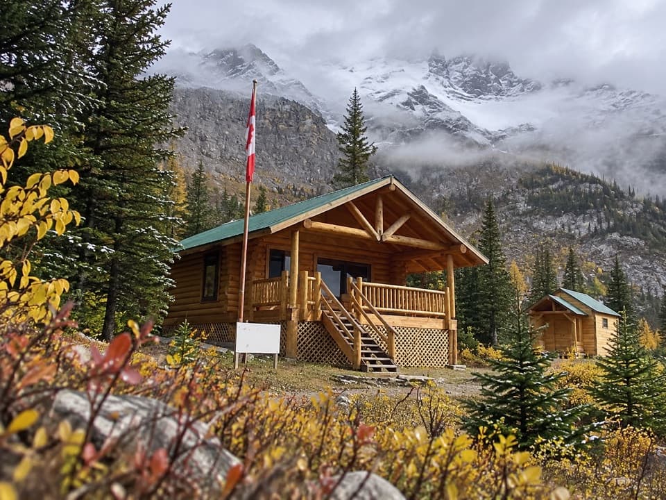 ChallengingCurator Trail13.6 km · 6 hr · At the trailheadA steep climb from the highway into the Skyline’s high country.
 ModerateEmerald Loop at the Valley of the Five Lakes5.4 km · 1.8 hr · 5.2 km awayA boardwalk, five blue-green lakes, and rocky little rises.ModerateValley Loop at the Valley of the Five Lakes7.7 km · 2.5 hr · 5.2 km awayA longer First Lake circuit with a bench at Reflection Point.
 EasyWetland Way1.8 km · 30 min · 5.2 km awayA flat, easy 1.8 km return to Wabasso Creek’s wetland boardwalk.
 ChallengingTonquin Valley Trail46 km · 20 hr · 6.6 km awayCross Maccarib Pass to a lake beneath the Ramparts.
 ModeratePath of the Glacier Trail1.6 km · 1 hr · 10.5 km awayA steady climb to Angel Glacier's high cirque viewpoint
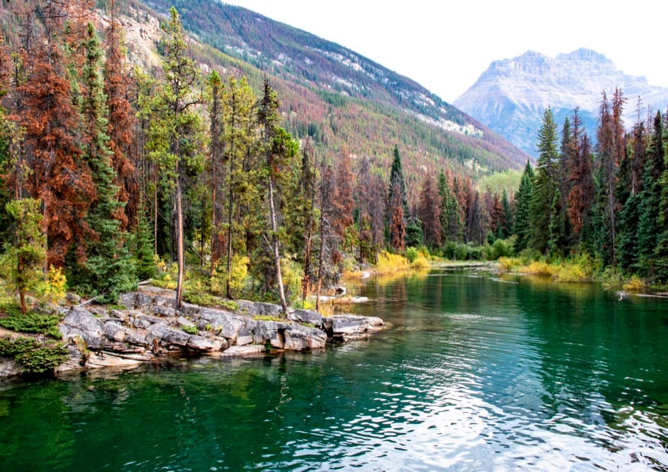 EasyHorseshoe Lake Trail1.6 km · 30 min · 11.3 km awayA short loop for clear water and cliff-framed lake views.
 Campground · 9.5 km awayWapiti CampgroundA riverside Jasper base with RV hookups and included showers.
 Campground · 11 km awayWhistlers CampgroundA huge campground near Jasper, with showers and a path to town.
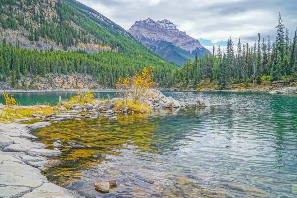 Sight · 11.3 km awayHorseshoe LakeA clear, cold lake tucked beneath steep rock walls.
 Sight · 13.4 km awayAthabasca FallsA forceful river drop into a short, water-carved canyon.
 Visitor center · 13.8 km awayJasper Park Information CentrePark maps and trail advice inside Jasper’s 1914 stone-and-timber landmark.
Parkwolf’s Icefields Parkway ranking

The audio tour guide for the drive, plus offline maps, trails, and wildlife heatmaps for when the signal drops.




