Parking
Start at P15, the Valley of the Five Lakes trailhead, about 9 km south of Jasper on Highway 93. Accessible toilets are marked at the parking area.

Icefields Parkway (Highway 93), AB
A flat, easy 1.8 km return to Wabasso Creek’s wetland boardwalk.
Overview
Map & elevation
Plan your hike

The highest, rockiest slopes around here are a summer buffet for grizzly bears.
Icefields Parkway Tour Guide
Parkwolf is a GPS audio tour guide for Icefields Parkway (Highway 93). As you drive, it chimes in with what’s ahead: hidden gems, upcoming stops, history, geology, and wildlife, right through your car’s speakers.
See the Icefields Parkway audio tourRecorded for this trailhead
Valley of the Five Lakes: The Emerald Loop“You're nearing the Valley of the Five Lakes trailhead, where the Emerald Loop is my choice for a walk among blue-green lakes.”
Plays as you drive up to this trailhead in the Parkwolf Icefields Parkway Tour Guide.
More stories near here in the app
“Fantastic app with many points of information… It’s great to just turn on while you’re driving and it gives you an audio tour of the national Park. We love it!!!!”


Trail guide
Wetland Way is an easy, gentle 1.8 km out-and-back from P15 to a boardwalk over the Wabasso Creek wetlands. It’s a good choice when you want a short walk and a place to sit; allow about half an hour for the return with a pause. If you came for the five lakes, continue on a different hike: Parks Canada lists the 5.4 km Emerald Loop and 7.7 km Valley Loop separately.
The wetland bridge is about 0.9 km from P15, then you return the same way. Benches beside the bridge make a natural turnaround. The terrain is gentle and flat, making this a straightforward short outing. The Emerald Loop and Valley Loop continue from the same junction.
The approach passes through forest regrowth after the 2024 Jasper wildfire. The open wetland and timber boardwalk are the walk’s payoff; take a few minutes at the bridge to look across the marsh before heading back.
Park at P15, about 9 km south of Jasper on Highway 93. Accessible toilets are marked at the lot. Dogs are allowed on this route on a leash no longer than 3 m.
Wildlife
 12 sightingsGrizzly BearMost seen around 6 AMSighting map
 127 sightingsBlack BearMost seen around 7 PMSighting map
 16 sightingsMooseMost seen around 6 AMSighting map
 100 sightingsElkMost seen around 8 PMSighting map
 34 sightingsMountain GoatMost seen around 7 PMSighting map
 53 sightingsBighorn SheepMost seen around 6 PMSighting map
Sighting maps show where each species has been reported across Icefields Parkway. Wildlife moves, so no sighting is guaranteed.
Keep exploring
 ModerateEmerald Loop at the Valley of the Five Lakes5.4 km · 1.8 hr · At the trailheadA boardwalk, five blue-green lakes, and rocky little rises.ModerateValley Loop at the Valley of the Five Lakes7.7 km · 2.5 hr · At the trailheadA longer First Lake circuit with a bench at Reflection Point.
 ChallengingTonquin Valley Trail46 km · 20 hr · 4.6 km awayCross Maccarib Pass to a lake beneath the Ramparts.
 ModerateWabasso Lake Trail6.8 km · 2.5 hr · 5.2 km awayBeaver-made lake and a mountain view from the last ridge.
 ModerateWabasso–Five Lakes Trail10 km · 4.5 hr · 5.2 km awayA longer through-walk linking Wabasso Lake with the Five Lakes area.
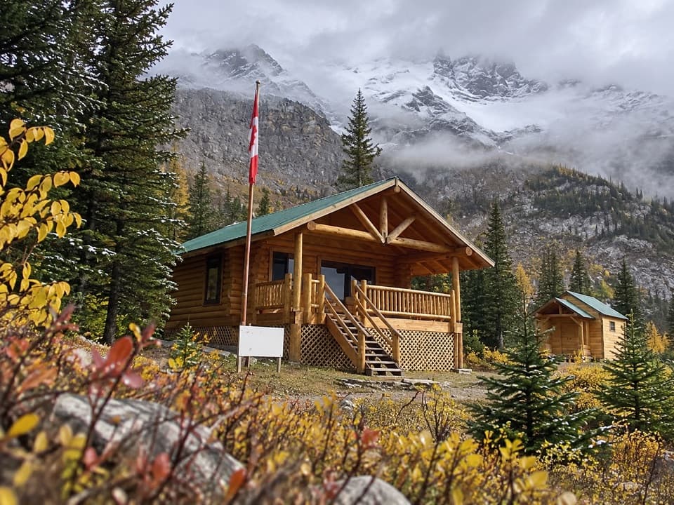 ChallengingCurator Trail13.6 km · 6 hr · 5.2 km awayA steep climb from the highway into the Skyline’s high country.
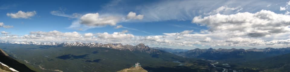 ChallengingThe Whistlers Trail13.6 km · 7 hr · 7.2 km awaySteep 14 km out and back to alpine summit views over Jasper.
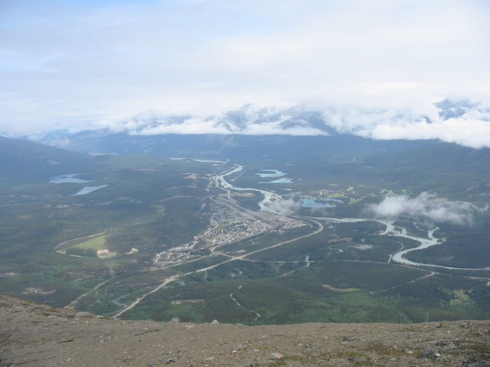 ModerateThe Whistlers Summit Trail2.7 km · 1.5 hr · 7.6 km awayA steep SkyTram summit climb with wide alpine views.
 Campground · 4.3 km awayWapiti CampgroundA riverside Jasper base with RV hookups and included showers.
 Campground · 5.8 km awayWhistlers CampgroundA huge campground near Jasper, with showers and a path to town.
 Visitor center · 8.6 km awayJasper Park Information CentrePark maps and trail advice inside Jasper’s 1914 stone-and-timber landmark.
Parkwolf’s Icefields Parkway ranking

The audio tour guide for the drive, plus offline maps, trails, and wildlife heatmaps for when the signal drops.





