Parking
Use Calumet Dunes parking lot at 1596 North Kemil Road (300E), Chesterton. Non-campers cannot park at Dunewood Campground. A park pass is required.
Indiana Dunes National Park, IN
An easy, sandy out-and-back to Dunewood Campground.
Overview
Map & elevation
Plan your hike

The highest, rockiest slopes around here are a summer buffet for grizzly bears.
Indiana Dunes Tour Guide
Parkwolf is a GPS audio tour guide for Indiana Dunes National Park. As you drive, it chimes in with what’s ahead: hidden gems, upcoming stops, history, geology, and wildlife, right through your car’s speakers.
Recorded for this trailhead
Calumet Dunes: A Church Beside the Trail“Calumet Dunes trailhead is ahead, and the short paved loop is my pick for a twenty-minute woodland break.”
Plays as you drive up to this trailhead in the Parkwolf Indiana Dunes Tour Guide.
More stories near here in the app
“Fantastic app with many points of information… It’s great to just turn on while you’re driving and it gives you an audio tour of the national Park. We love it!!!!”


Trail guide
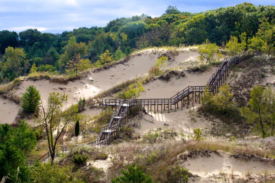
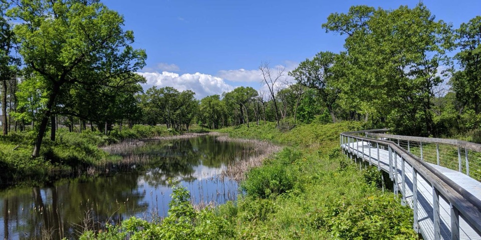
Dunewood Trace Campground Trail is a 4.4-mile out-and-back from Calumet Dunes parking lot to Dunewood Campground and back. It is nearly level, with 30 feet of listed gain, and usually takes about 2.5 hours. Expect packed dirt mixed with loose sand. This is a good fit if you want a longer, low-effort walk with a destination; the campground and old golf-course remnants near it are the payoff.
At Calumet Dunes, walk around the main building on its south side and take the paved path to the right. Dunewood Trace branches left within a tenth of a mile. The surrounding Glenwood and Calumet trail network has 13 junctions, so stick with the Dunewood Trace route unless you mean to add another loop.
A section uses County Road 375E without a sidewalk or protected path; that road stretch is the main tradeoff on an otherwise easy-grade walk. At the campground, year-round restrooms and potable water are available. Non-campers cannot park there, so start and finish at Calumet Dunes. A park pass is required. Dogs are allowed on leash, no longer than six feet; ticks are present year-round and poison ivy can grow along trail edges.
Wildlife
 85 sightingsBald EagleMost seen around 8 AMSighting map
 48 sightingsSandhill CraneMost seen around 6 PMSighting map
 113 sightingsWhite-tailed DeerMost seen around 6 PMSighting map
 23 sightingsCoyoteMost seen around 8 PMSighting map
 49 sightingsBeaverMost seen around 8 PMSighting map
 13 sightingsBarred OwlMost seen around 6 AMSighting map
Sighting maps show where each species has been reported across Indiana Dunes. Wildlife moves, so no sighting is guaranteed.
Keep exploring
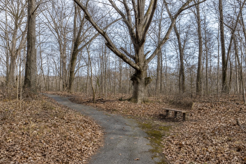 EasyCalumet Dunes Trail0.6 mi · 20 min · At the trailheadA quick paved loop on Lake Michigan's old shoreline
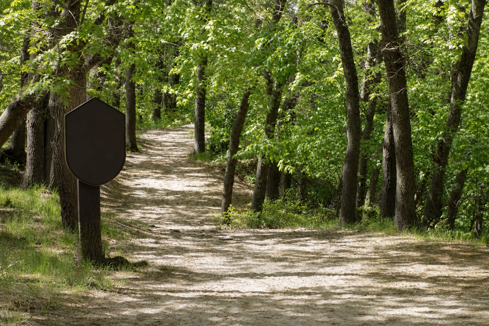 ModerateGlenwood Dunes Extension Trail5.7 mi · 3 hr · 1 mi awayA flat, sandy extension with a longer walk from the main lot.
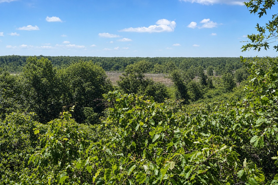 ModerateDune Ridge Trail0.7 mi · 45 min · 1.1 mi awayA sandy 0.7-mile lollipop with a Great Marsh overlook.
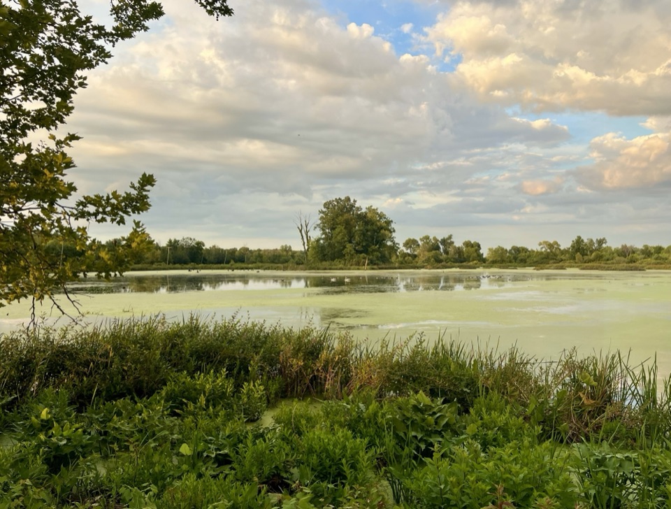 EasyGreat Marsh Trail1.3 mi · 1 hr · 1.5 mi awayA flat marsh loop with an observation deck for birding.
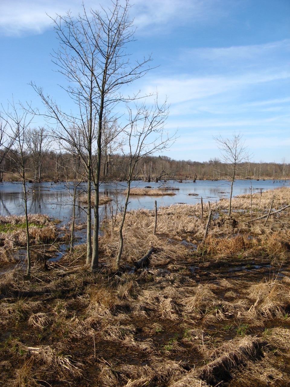 EasyGreat Marsh Accessible Trail0.2 mi · 15 min · 1.6 mi awayA short paved route to the marsh's bird-viewing deck.
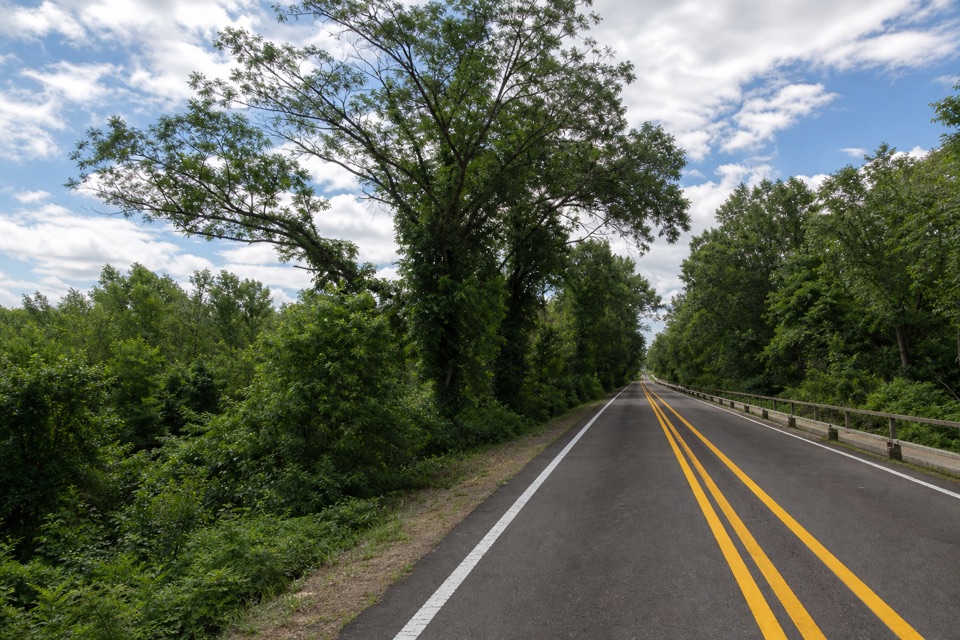 EasyDunes Kankakee Trail3.6 mi · 1.8 hr · 3 mi awayA paved, accessible link between the Visitor Center and State Park.
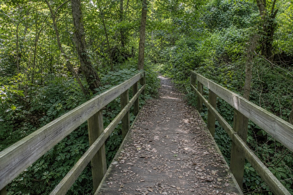 EasyHeron Rookery Trail3.3 mi · 1.8 hr · 3.8 mi awayBest in spring, when woodland flowers brighten the river trail.
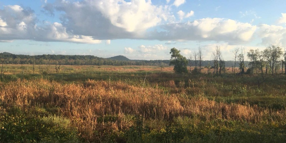 ModerateCowles Bog Trail4.7 mi · 4 hr · 4 mi awayWetland, savanna, and dunes lead to a steep Lake Michigan finish
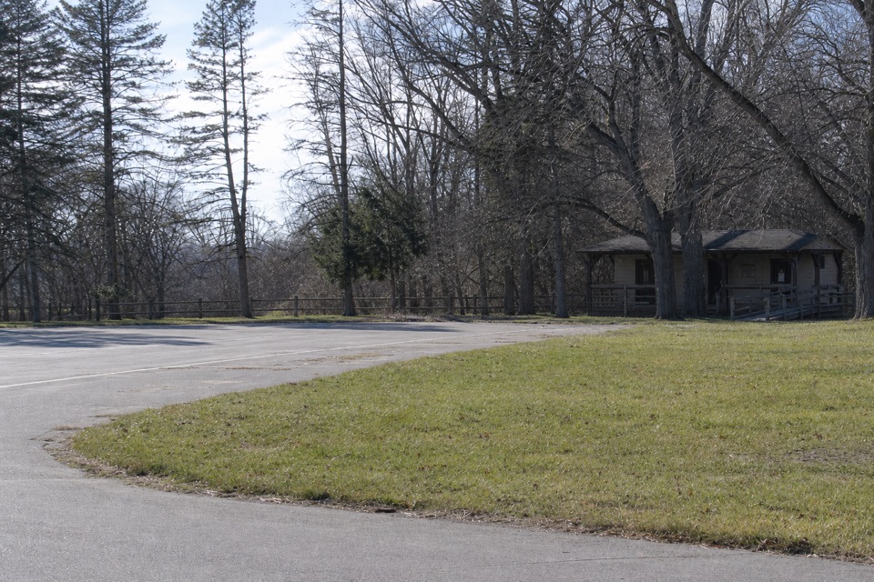 Picnic area · 1 mi awayGlenwood Dunes Picnic AreaA first-come shelter beside a web of dune trails.
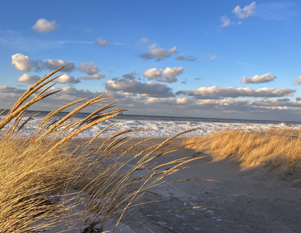 Beach · 1.4 mi awayKemil BeachA Lake Michigan beach with a Great Marsh hike from its lot.
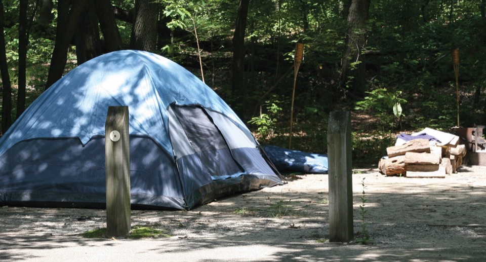 Campground · 1.5 mi awayDunewood CampgroundA wooded base, with lake beaches a short drive away.
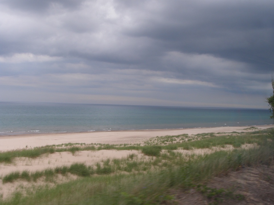 Beach · 1.6 mi awayDunbar BeachA sandy Lake Michigan beach with an uphill walk back.
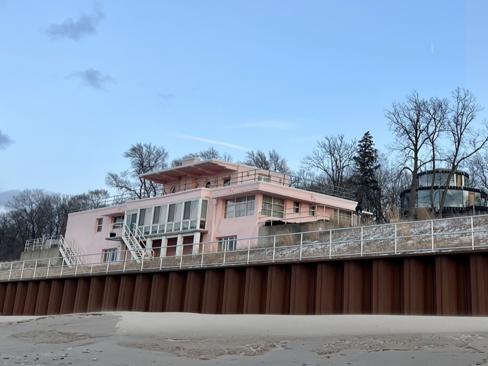 Sight · 1.6 mi awayCentury of Progress HomesFive 1933 fair homes show five different ideas of modern living.
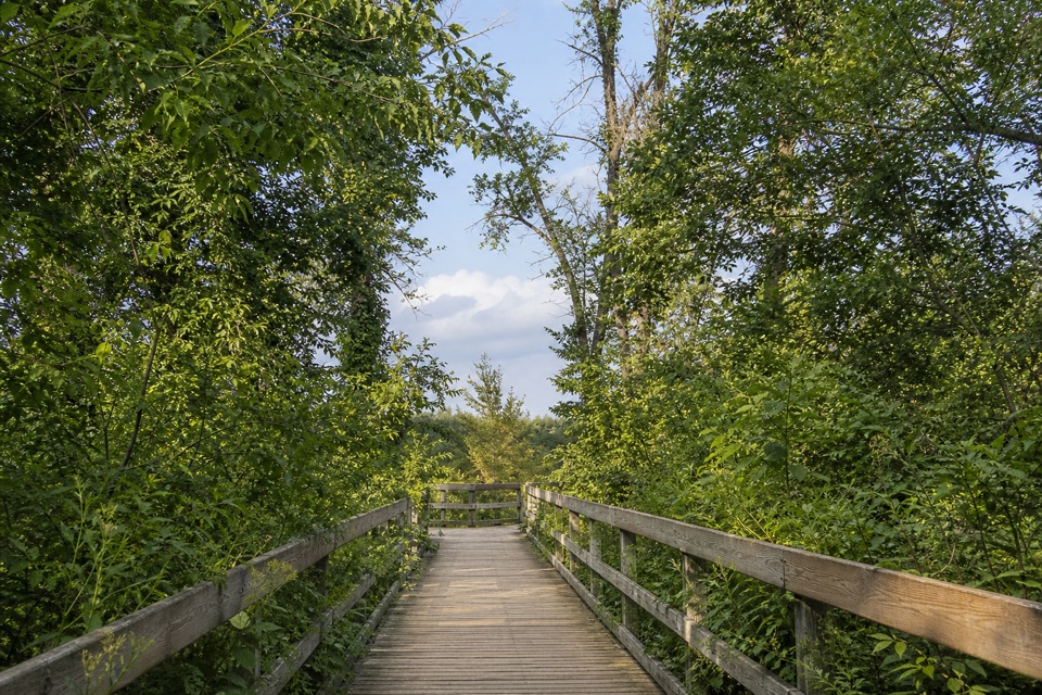 Sight · 1.6 mi awayGreat Marsh Observation DeckA short accessible walk to the Great Marsh
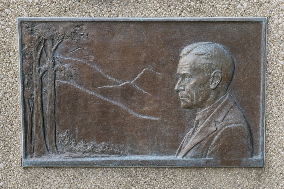 Historic marker · 1.8 mi awayStephen Mather Memorial PlaqueA quick stop for the dunes' conservation story.
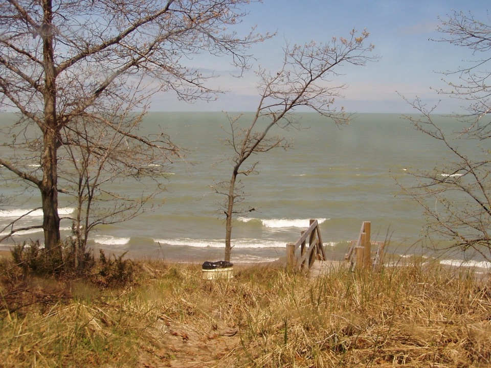 Beach · 1.9 mi awayLake View BeachPicnic above the lake, with stairs down to the sand.
Parkwolf’s Indiana Dunes ranking

The audio tour guide for the drive, plus offline maps, trails, and wildlife heatmaps for when the signal drops.