Parking
Start at the Indiana Dunes Visitor Center, the south trailhead at 1215 North State Road 49. It has ample paved parking; restrooms and potable water are available while the center is open.
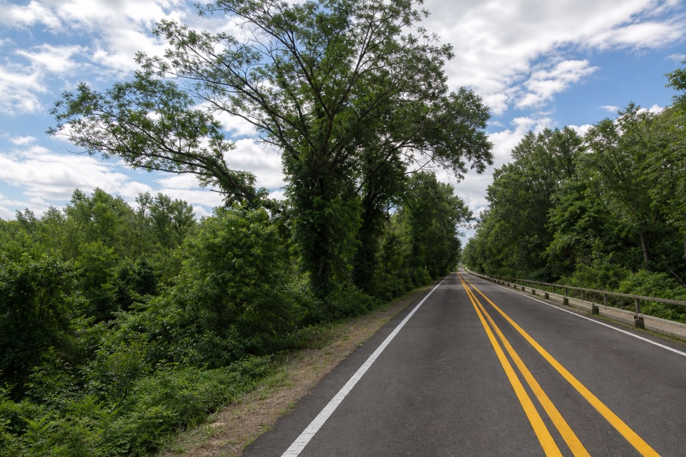
Indiana Dunes National Park, IN
A paved, accessible link between the Visitor Center and State Park.
Overview
Map & elevation
Plan your hike

The highest, rockiest slopes around here are a summer buffet for grizzly bears.
Indiana Dunes Tour Guide
Parkwolf is a GPS audio tour guide for Indiana Dunes National Park. As you drive, it chimes in with what’s ahead: hidden gems, upcoming stops, history, geology, and wildlife, right through your car’s speakers.
Recorded for this trailhead
Indiana Dunes Visitor Center“Up ahead is the Indiana Dunes Visitor Center, a useful stop if you want help choosing a beach or trail. The indoor exhibits and two short videos give a compact introduction; don't expect a large museum.”
Plays as you drive up to this trailhead in the Parkwolf Indiana Dunes Tour Guide.
More stories near here in the app
“Fantastic app with many points of information… It’s great to just turn on while you’re driving and it gives you an audio tour of the national Park. We love it!!!!”


Trail guide
Dunes Kankakee is a 3.6-mile out-and-back between the Indiana Dunes Visitor Center and the Indiana Dunes State Park entrance, along SR 49 and back. The route is paved and listed as wheelchair accessible. I’d choose it for a straightforward walk or roll between the two access points; it’s a roadside connector rather than a walk through the dunes.
The path is flat apart from the US 20 and US 12 overpasses. The route gains about 83 feet over the full outing. The shorter published 30-minute estimate is for biking; allow roughly 1½ to 2 hours on foot for the full return walk.
The route links with the Calumet Trail and Dune Park South Shore station, but those extensions are outside this out-and-back. Start at the Visitor Center and return there; it has paved parking, restrooms and potable water when the building is open. Dogs are allowed on a leash no longer than six feet.
Wildlife
 85 sightingsBald EagleMost seen around 8 AMSighting map
 48 sightingsSandhill CraneMost seen around 6 PMSighting map
 113 sightingsWhite-tailed DeerMost seen around 6 PMSighting map
 23 sightingsCoyoteMost seen around 8 PMSighting map
 49 sightingsBeaverMost seen around 8 PMSighting map
 13 sightingsBarred OwlMost seen around 6 AMSighting map
Sighting maps show where each species has been reported across Indiana Dunes. Wildlife moves, so no sighting is guaranteed.
Keep exploring
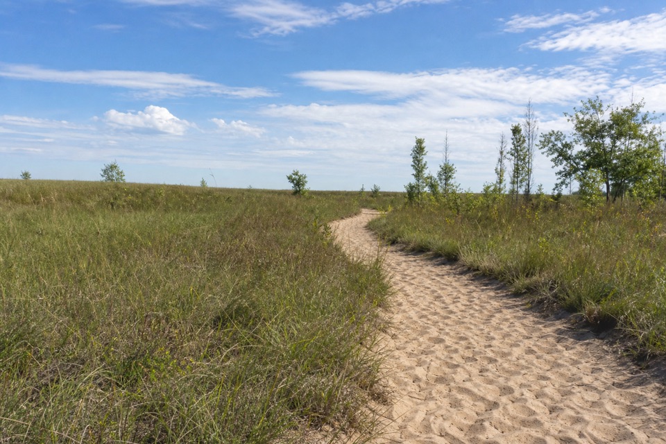 ModerateGreenbelt Trail to Lake Michigan4.4 mi · 3 hr · 1.7 mi awayA wetland-to-beach walk that earns its Lake Michigan view.
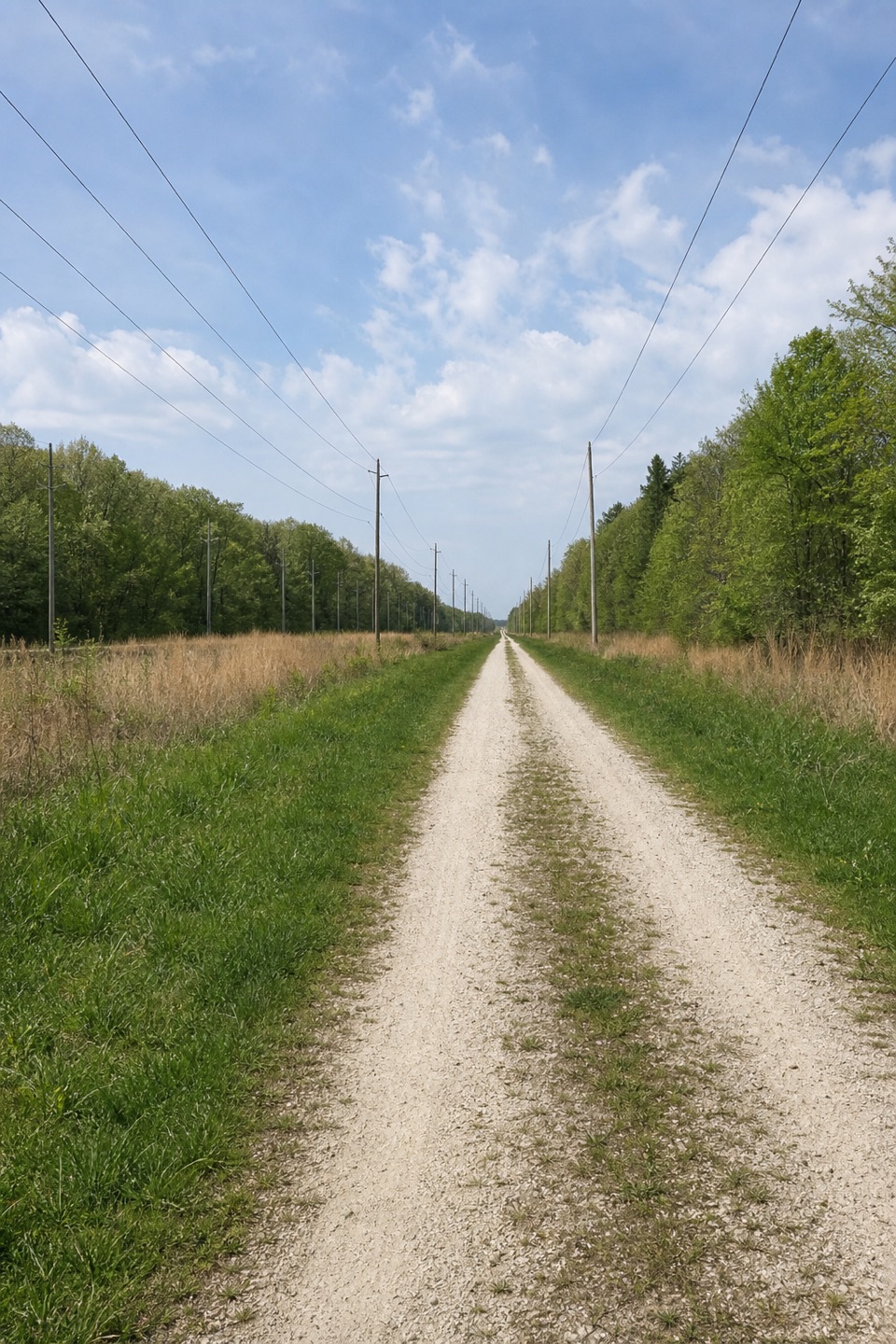 ModerateCalumet Bike Trail9.2 mi · 4.8 hr · 1.7 mi awayA mostly level, 9.2-mile link across the dune-country corridor.
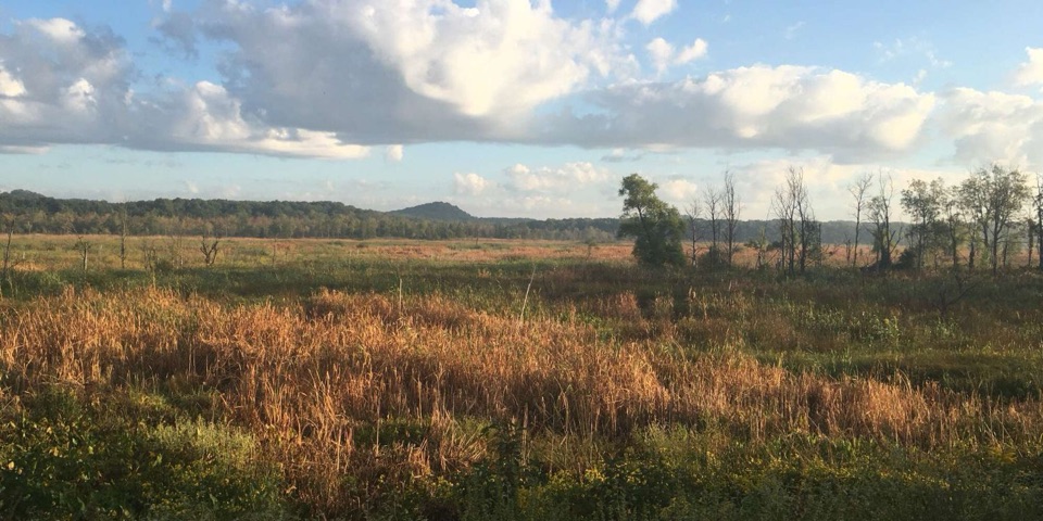 ModerateCowles Bog Trail4.7 mi · 4 hr · 1.8 mi awayWetland, savanna, and dunes lead to a steep Lake Michigan finish
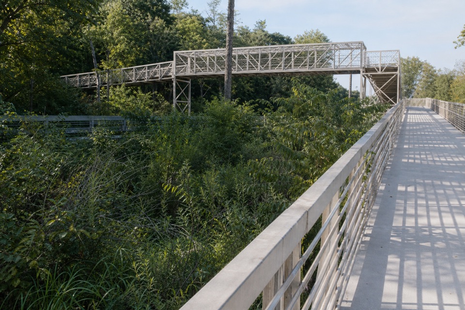 EasyPorter Brickyard Bike Trail4 mi · 1.8 hr · 1.8 mi awayA paved connector with forest stretches and two highway overpasses.
 EasyPrairie Duneland Bike Trail11.2 mi · 1 hr · 1.9 mi awayFlat, paved miles link quiet woods, small towns, and farm fields.
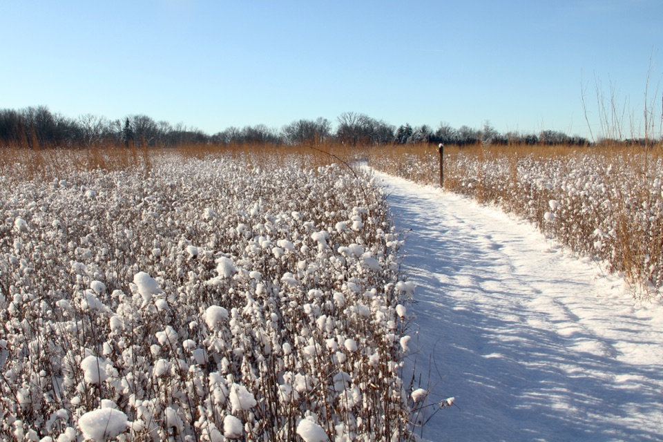 ModerateLittle Calumet River and Mnoké Prairie Outer Loop3.4 mi · 2.5 hr · 1.9 mi awayA river crossing and prairie link two historic sites in one loop.
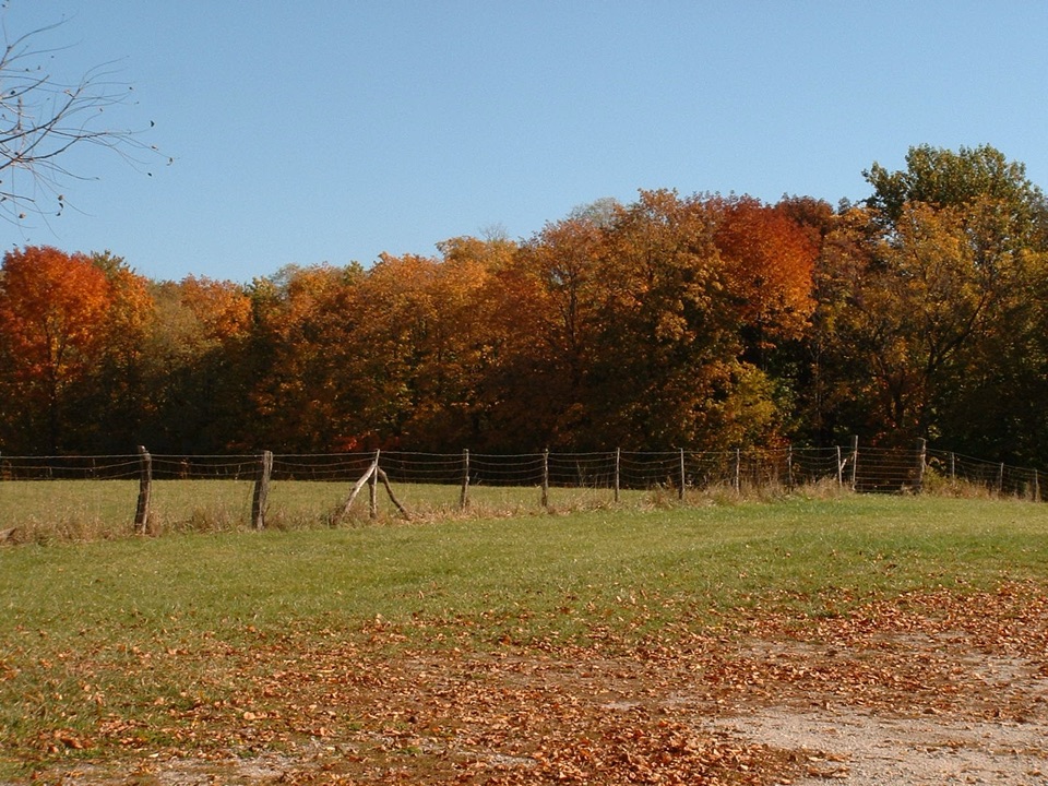 EasyBailly/Chellberg Inner Loop1.1 mi · 1 hr · 1.9 mi awayA short loop links a fur-trading post and a Swedish farm.
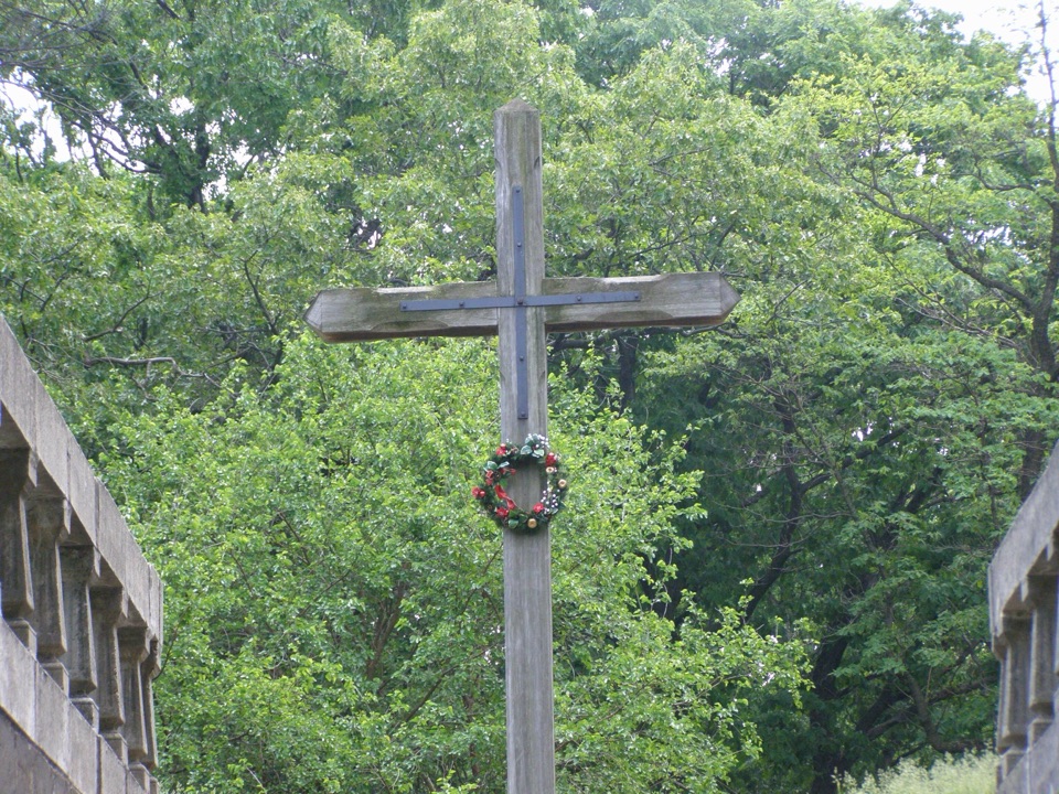 EasyBailly Cemetery Trail1.7 mi · 1.1 hr · 1.9 mi awayA short woodland walk to the Bailly family cemetery.
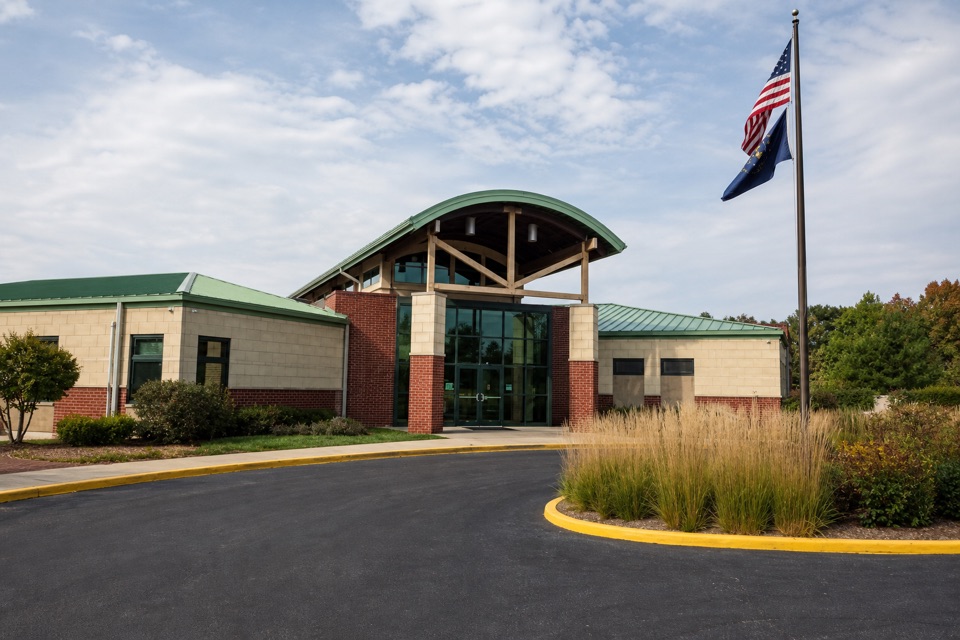 Visitor center · At the trailheadIndiana Dunes Visitor CenterStart here to sort out which beach, trail or park comes next.
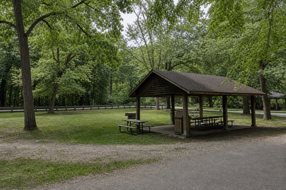 Picnic area · 1 mi awayTremont Picnic AreaA shaded picnic break, not a beach or dune-view stop.
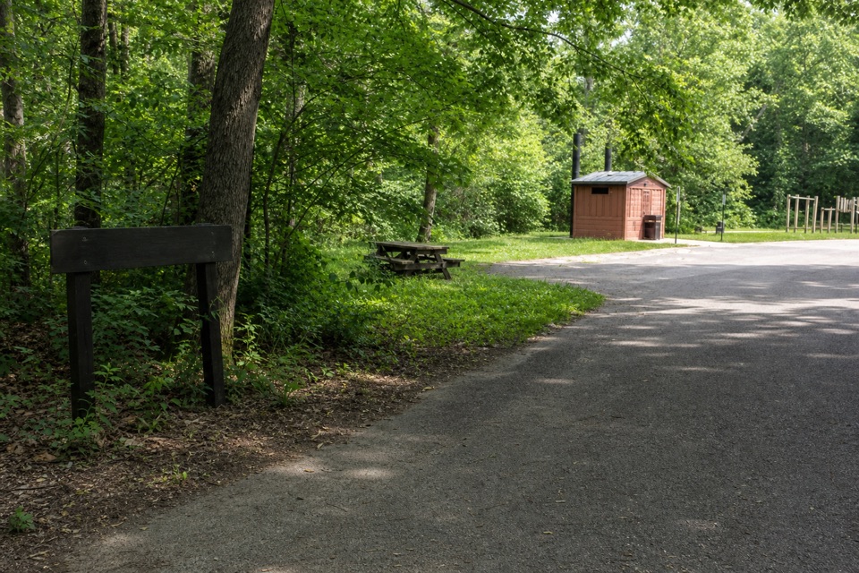 Campground · 1.4 mi awayNissaki Youth Tent AreaThree primitive group areas for youth tent camping.
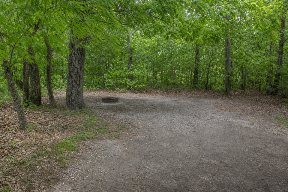 Campground · 1.7 mi awayIndiana Dunes State Park Electric CampgroundStay under the trees, with a beach trail right from camp.
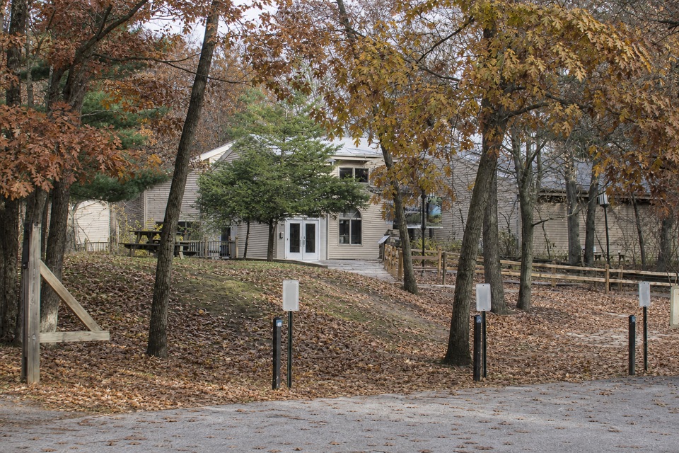 Visitor center · 1.8 mi awayIndiana Dunes State Park Nature CenterA small indoor stop for dunes exhibits and feeder birds.
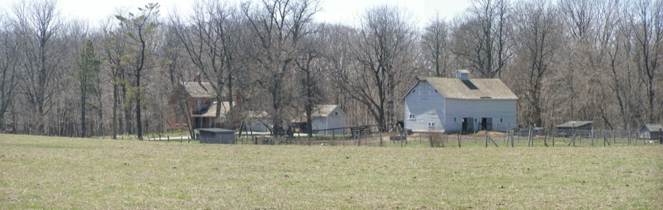 Sight · 1.9 mi awayChellberg FarmBrick farmhouse, old barn and a maple-sugar story in the woods.
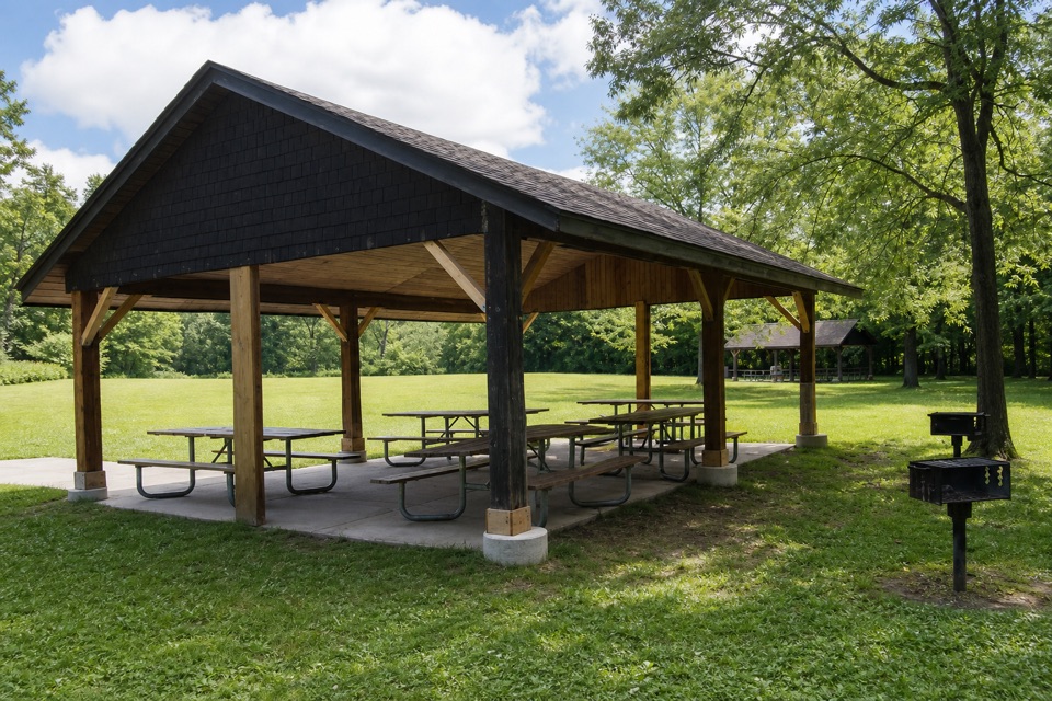 Picnic area · 1.9 mi awayBailly–Chellberg Picnic AreaThree reservable shelters for a picnic beside Bailly and Chellberg.
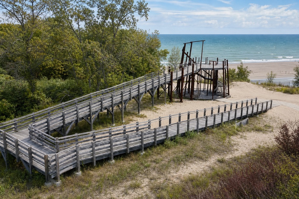 Sight · 1.9 mi awayLongshore Birding PlatformA high perch for watching spring migration along Lake Michigan.
Parkwolf’s Indiana Dunes ranking

The audio tour guide for the drive, plus offline maps, trails, and wildlife heatmaps for when the signal drops.