Place · 0.9 mi away
Easy

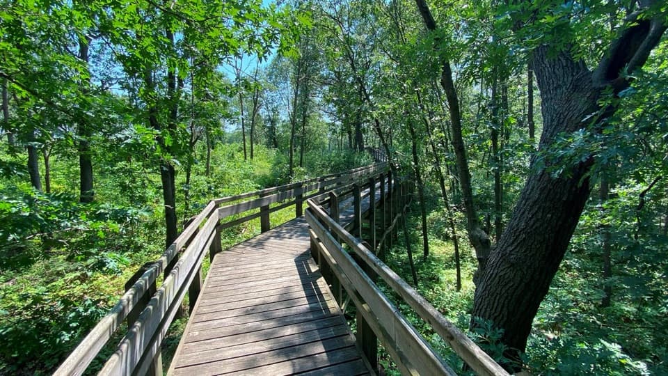
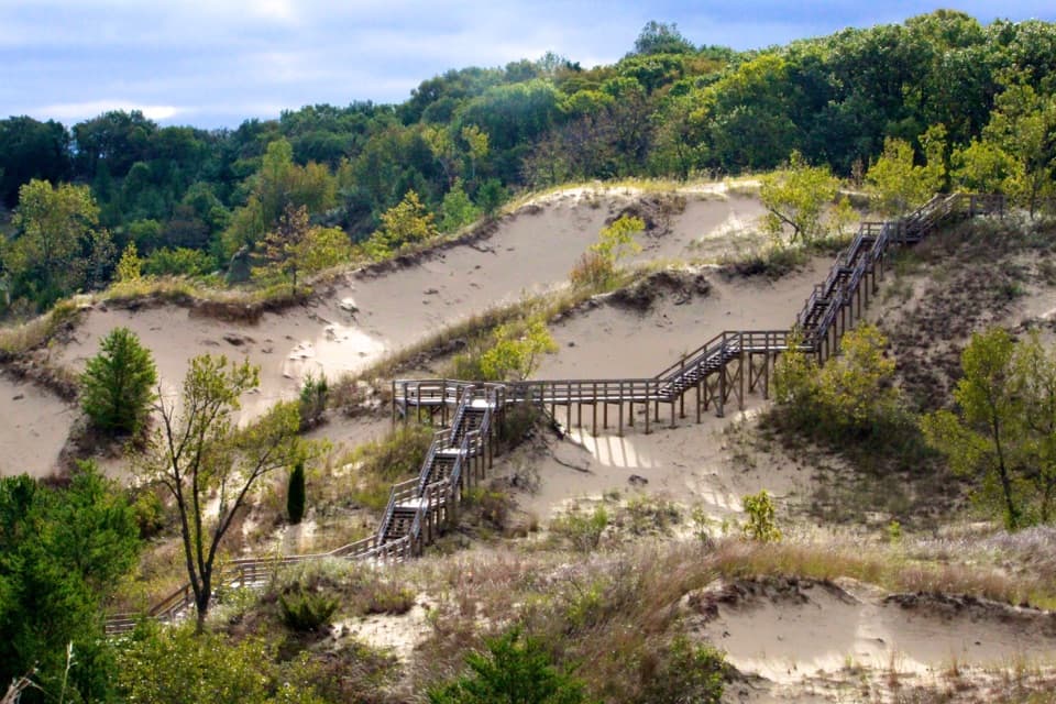
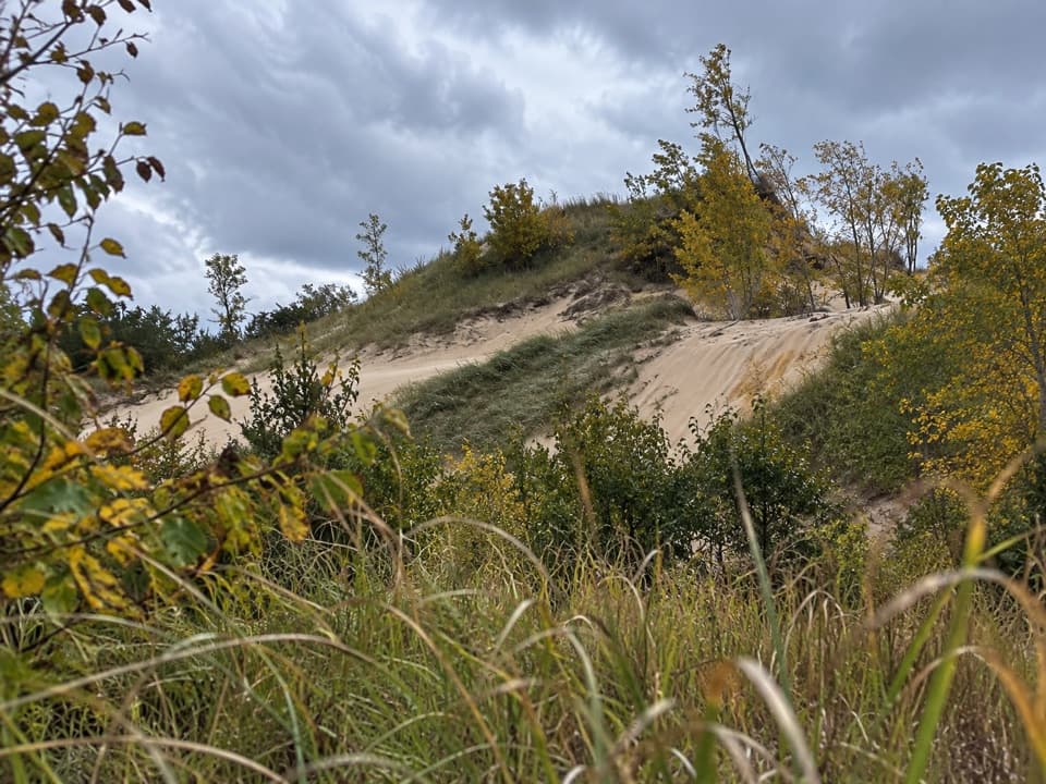
This 2.9‑mile lollipop loop is a mellow sampler of Indiana Dunes’ younger dune systems. Expect about 127 feet of total elevation gain with an average 2% grade (briefly up to 9%), so most hikers will find it manageable at a relaxed pace. Surfaces alternate between hard‑packed tread, sandy stretches, and some built sections—plan on a little extra effort where the sand is loose.
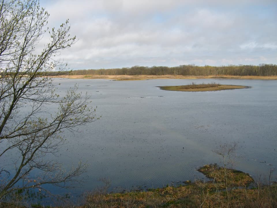
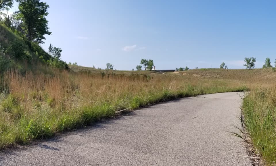
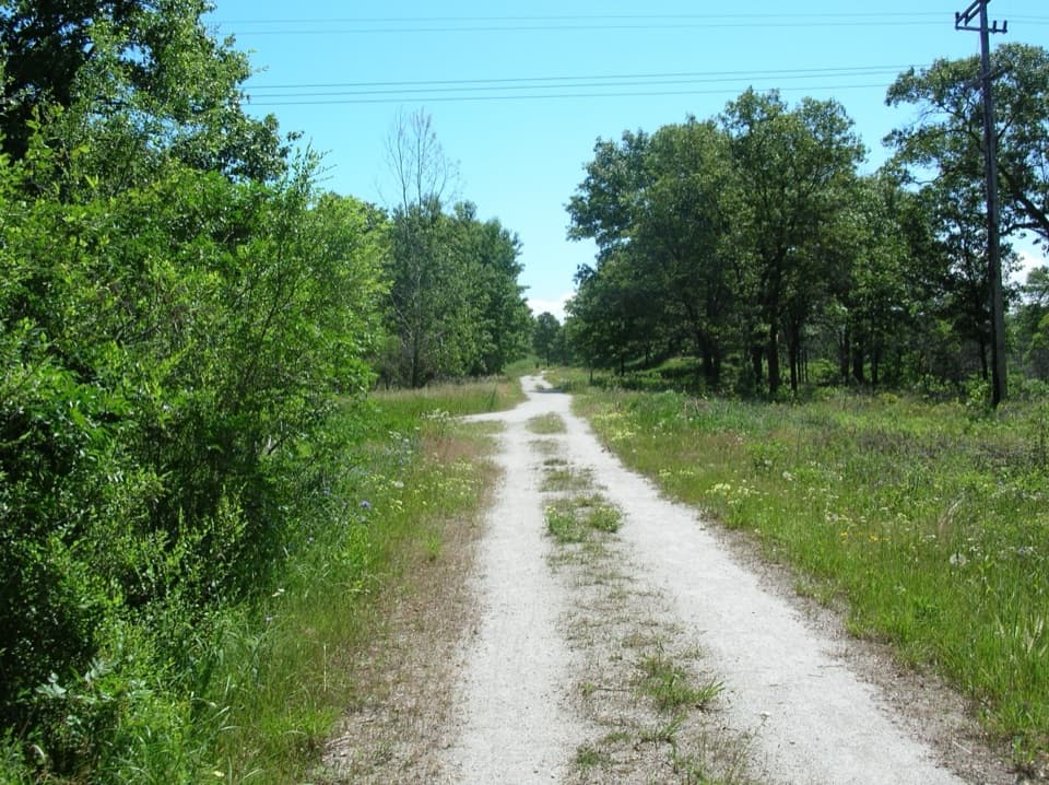
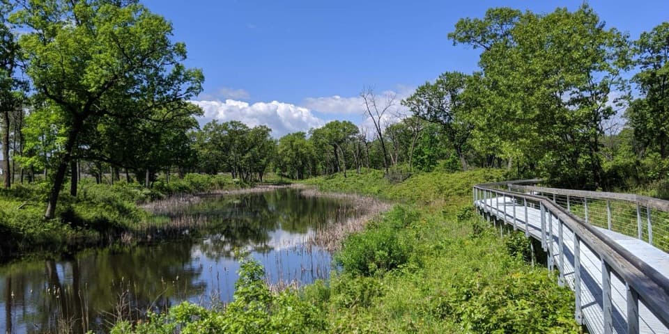
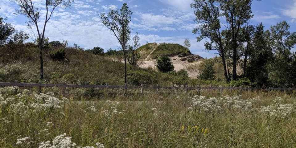
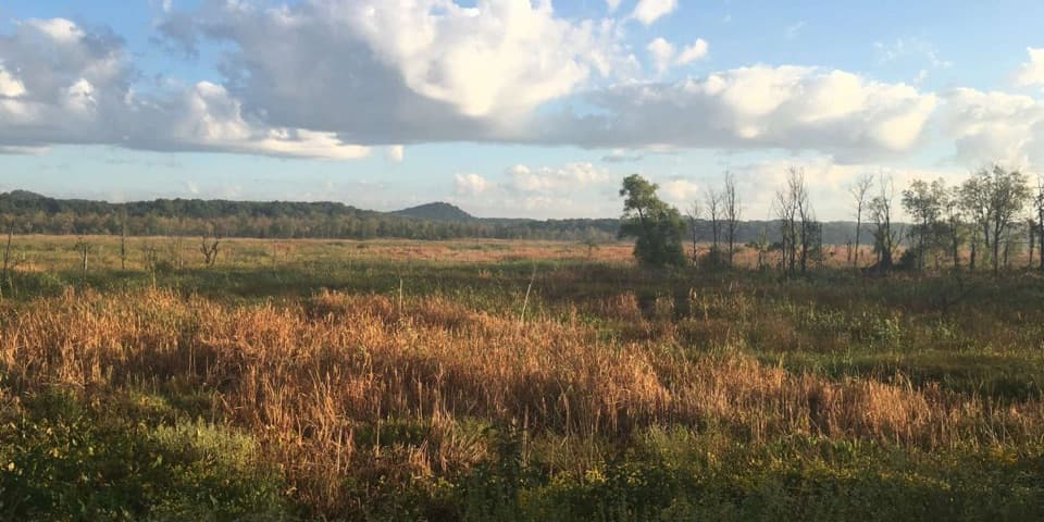
The route threads a mosaic of black oak savanna, tallgrass prairie, and wetland edges atop ancient dune ridges. It feels open, airy, and distinctly “dunes”—with an official overlook offering broad views of the surrounding landscape. Keep an eye out for wildlife typical of this habitat; patient hikers sometimes catch an American woodcock’s flight display, and white‑tailed deer are common. Poison ivy grows along trail edges here—stay centered on the path.
You’ll follow a short stem to reach the loop, circle it, then return on the same stem—easy to shorten if you’re just out for a leg‑stretcher. Count on roughly two hours if you stop for views and photos. Portions of the loop are pleasantly firm, but expect some sections of looser sand that slow the pace. It’s a quieter alternative to the beach scene and a good way to get a feel for the dunes without big climbs.
Park along Dunes Highway (US‑12) at the signed trailhead kiosk. There are no restrooms or water here, so come prepared. Grab a paper map at the kiosk or the visitor center before you roll. Wear shoes that handle both firm tread and sand. Sandy segments and modest grades can be challenging for limited mobility. For comfort: sunscreen, insect repellent, and binoculars for birding. And once more—watch the trail margins for poison ivy.
Signed trailhead parking along Dunes Highway (US‑12) near the kiosk; no restrooms or water at the trailhead.
Poison ivy along trail edges; summer insects can be heavy. Sandy stretches may be difficult for those with limited mobility.