Parking
Use the roadside pullout opposite HI Mount Edith Cavell Wilderness Hostel near the Astoria trailhead; do not use the hostel parking lot.
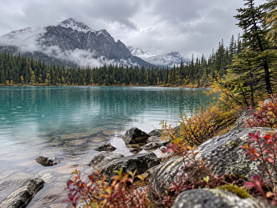
Jasper National Park, AB
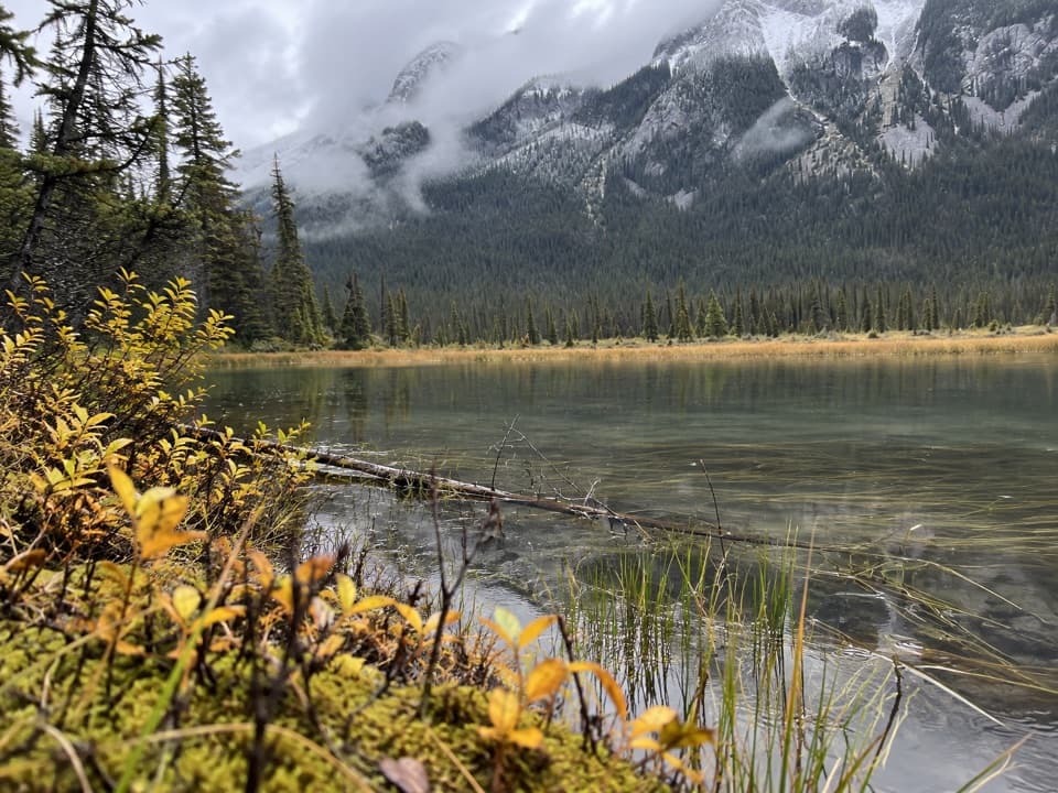
A quick bridge walk opens onto Cavell Lake and the surrounding peaks.
Overview
Map & elevation
Plan your hike

The highest, rockiest slopes around here are a summer buffet for grizzly bears.
Jasper Tour Guide
Parkwolf is a GPS audio tour guide for Jasper National Park. As you drive, it chimes in with what’s ahead: hidden gems, upcoming stops, history, geology, and wildlife, right through your car’s speakers.
See the Jasper audio tourRecorded for this trailhead
Astoria Trailhead and Cavell Lake“Astoria trailhead and the short walk to Cavell Lake are coming up. For a quick mountain-and-water view, choose the easy path down to the bridge, allowing about half an hour for the half-mile return walk.”
Plays as you drive up to this trailhead in the Parkwolf Jasper Tour Guide.
More stories near here in the app
“Fantastic app with many points of information… It’s great to just turn on while you’re driving and it gives you an audio tour of the national Park. We love it!!!!”


Trail guide
Cavell Lake Trail is an easy out-and-back of about half a mile total, starting from roadside access near the Astoria trailhead. A dirt path drops toward a bridge with views of Cavell Lake and the surrounding peaks; a short dirt track continues along part of the shore, then you return the way you came. Allow about 30 minutes. It works well as a leg-stretcher beside the longer Cavell Meadows and Path of the Glacier hikes.
The bridge is the main viewpoint, and the shore path is a brief extension rather than a separate loop. The return retraces the same route. Keep to the existing tread: Parks Canada says the Cavell area's vegetation grows slowly and soft footprints can persist for decades.
Mount Edith Cavell rises to 3,300 metres above this area. Parks Canada says the peak was named for British nurse Edith Cavell, executed during the First World War for helping Allied prisoners escape occupied Brussels. French-Canadian voyageurs earlier called it La Montagne de la Grande Traverse, after the fur-trade route through nearby Athabasca Pass.
Use the roadside pullout opposite HI Mount Edith Cavell Wilderness Hostel; do not park in the hostel lot. Access to the Cavell Road and Astoria area is prohibited November 1 through May 15 for caribou habitat protection. Check current park conditions before setting out.
Wildlife
 175 sightingsGrizzly BearMost seen around 8 PMSighting map
 43 sightingsCaribouMost seen around 7 AMSighting map
 41 sightingsGray WolfMost seen around 6 AMSighting map
 12 sightingsCanada LynxMost seen around 8 PMSighting map
 320 sightingsMooseMost seen around 6 AMSighting map
 1,048 sightingsElkMost seen around 7 AMSighting map
Sighting maps show where each species has been reported across Jasper. Wildlife moves, so no sighting is guaranteed.
Keep exploring
 ChallengingTonquin Valley Trail43.1 km · 2.5 days · At the trailheadA muddy, multi-day traverse beneath the Ramparts
 ModerateCavell Meadows Trail6.4 km · 4 hr · 1.7 km awayRocky climb, alpine flowers, and Angel Glacier from above.
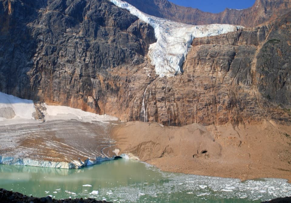 ModeratePath of the Glacier Trail1.6 km · 1 hr · 1.7 km awayA short uphill walk to Cavell Pond and Angel Glacier views.
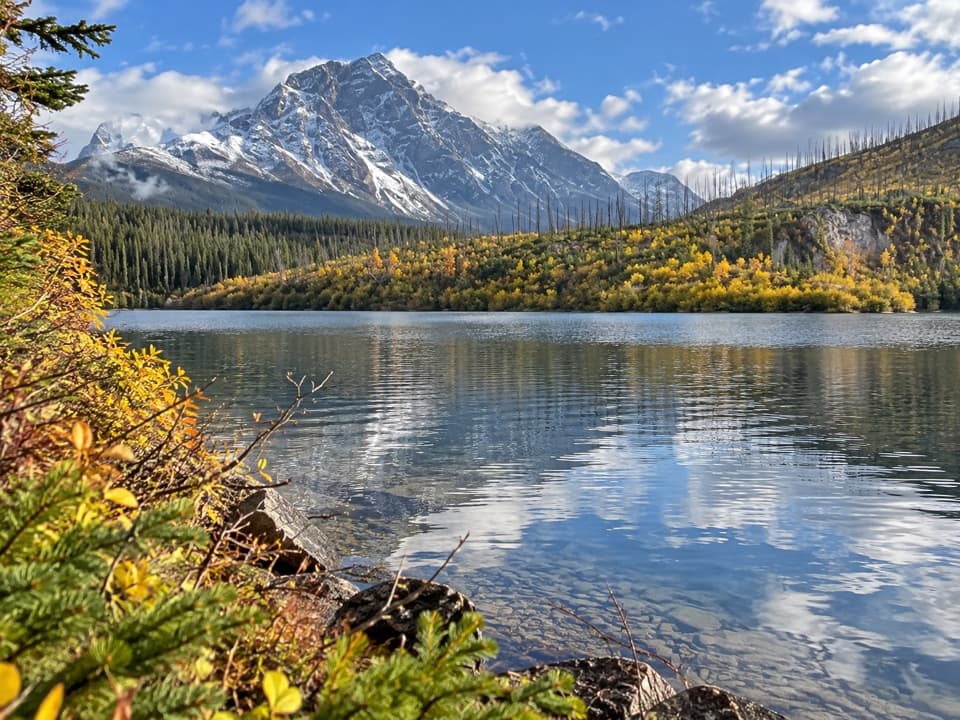 EasyMoab Lake Spur Trail1.3 km · 30 min · 8 km awayA short, faint spur leaves the Athabasca Pass trail for Moab Lake.
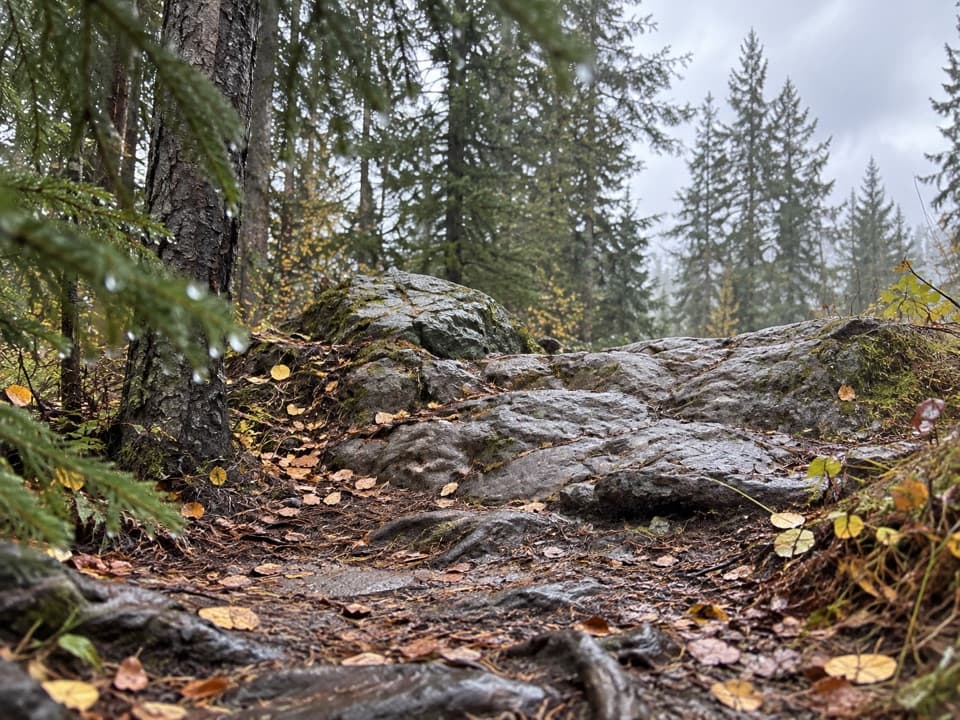 ChallengingWabasso–Curator Trail15 km · 7 hr · 9.2 km awayA steep 15 km climb from the Icefields Parkway to the Skyline.
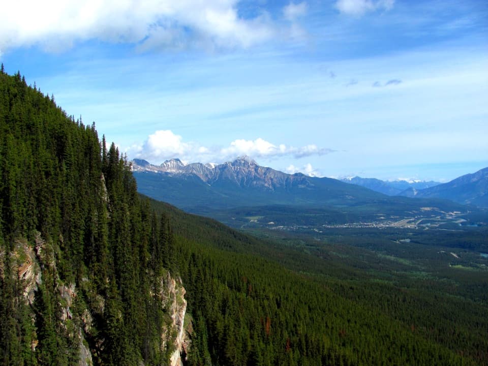 EasyEdge of the World Trail0.6 km · 30 min · 11.2 km awayA quick walk to a wide valley view from a cliff edge.
 ModerateValley of the Five Lakes – Emerald Loop5.4 km · 1.8 hr · 12 km awayA moderate loop for five lakes, red chairs, and bigger mountain views.ModerateValley of the Five Lakes – Valley Loop7.7 km · 2.5 hr · 12 km awayA quieter loop around First Lake and its turquoise water.
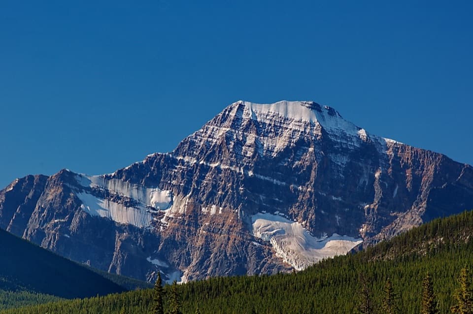 Sight · 1.6 km awayMount Edith CavellClose views of Cavell's north face, Angel Glacier and its pond.
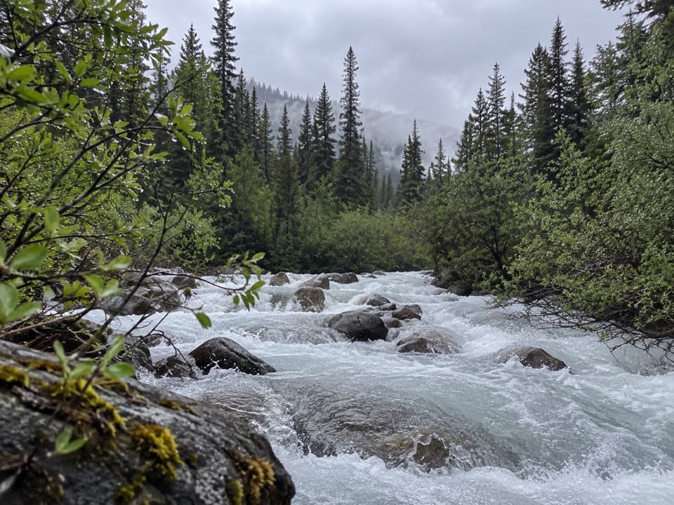 Campground · 6.1 km awayAstoria Backcountry CampgroundA useful first overnight on the Astoria side of the Tonquin.
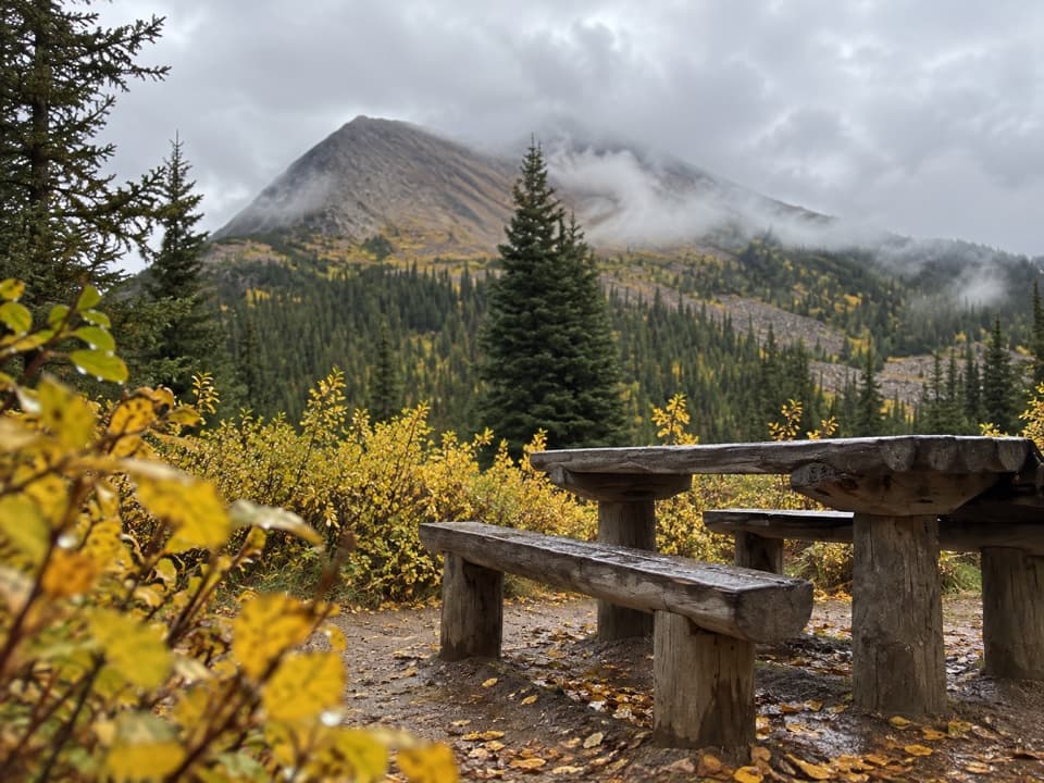 Campground · 7.5 km awayPortal Backcountry CampgroundFour creekside sites, 8.7 km from the Portal trailhead.
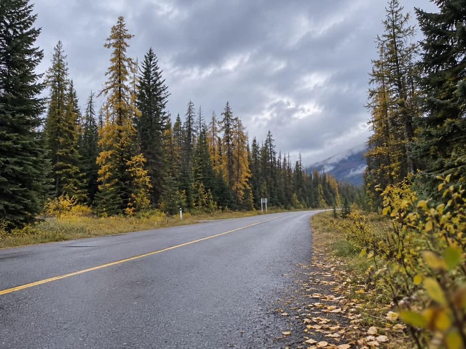 Picnic area · 7.6 km awayOtto’s Cache Picnic SiteA straightforward picnic break off Highway 93A.
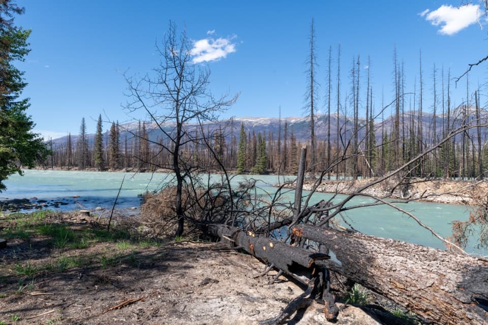 Picnic area · 8 km awayMeeting of the Waters Picnic SiteA picnic break where the Whirlpool meets the Athabasca.
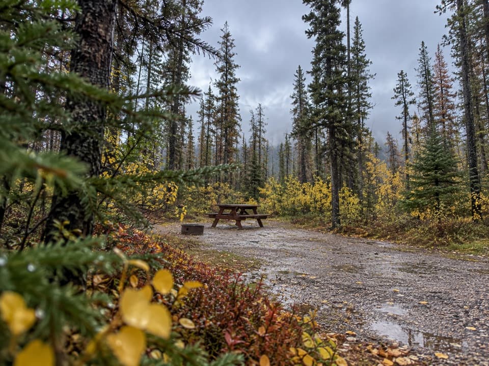 Campground · 8.5 km awayWabasso CampgroundA frontcountry base beside the Athabasca River.
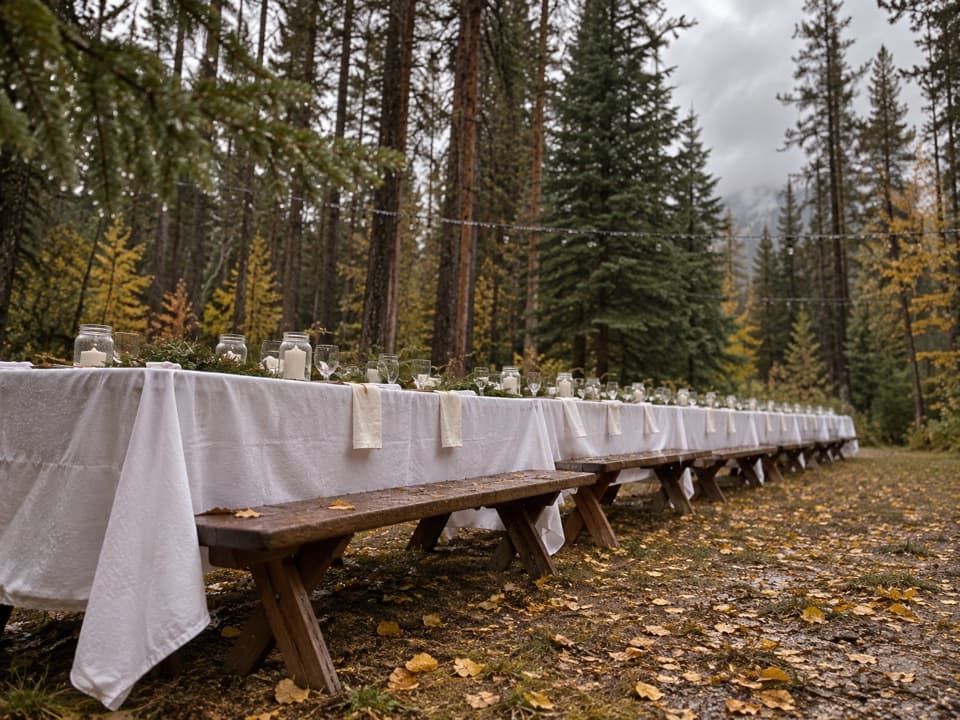 Campground · 9.3 km awayWhirlpool Group CampgroundA designated group campground in the Whirlpool area.
 Campground · 9.5 km awayWhirlpool Backcountry CampgroundFour tent sites above a river channel, six kilometres in.
Parkwolf’s Jasper ranking

The audio tour guide for the drive, plus offline maps, trails, and wildlife heatmaps for when the signal drops.



