Parking
Use P15, the Valley of the Five Lakes parking lot on the Icefields Parkway, about 9 km south of Jasper. The park map marks accessible toilets there. Lot capacity and fees were not confirmed.

#10 of 74 trails in Jasper
Jasper National Park, AB
A moderate loop for five lakes, red chairs, and bigger mountain views.
Photo: Gary, CC BY-SA 2.0, via Wikimedia Commons
Overview
Map & elevation
Plan your hike

The highest, rockiest slopes around here are a summer buffet for grizzly bears.
Jasper Tour Guide
Parkwolf is a GPS audio tour guide for Jasper National Park. As you drive, it chimes in with what’s ahead: hidden gems, upcoming stops, history, geology, and wildlife, right through your car’s speakers.
See the Jasper audio tourRecorded for this trailhead
Valley of the Five Lakes: Emerald Circuit“You're coming up on the Valley of the Five Lakes trailhead, where a walk links green and turquoise water beneath the mountains.”
Plays as you drive up to this trailhead in the Parkwolf Jasper Tour Guide.
More stories near here in the app
“Fantastic app with many points of information… It’s great to just turn on while you’re driving and it gives you an audio tour of the national Park. We love it!!!!”


Trail guide
The Emerald Loop, labeled Emerald Circuit on the park map, is a 5.4 km (3.4 mi) moderate circuit from P15. That total includes the Wetland Way connection from the parking area, the lake circuit, and the shared approach back. Allow about 1.5 to 2 hours. It is the shorter of the two Five Lakes loops; the separate Valley Loop is 7.7 km. Choose Emerald for the bright lakes and open mountain views without committing to the longer circuit. Older maps and directories use shorter distances and the Trail 9a/9b names; follow the current Emerald Loop route.
From P15, the route begins on a gentle, flat approach through young forest regrowth, with a boardwalk and pedestrian bridge across the wetland and benches nearby. At the junction, follow the Emerald route around the lake basin. The walk is not flat all the way: rolling tread, short steep pitches, and stone steps break up the easy start. A ridge reroute avoids an older muddy, badly eroded stretch and opens broader views across the basin; a substantial stone stair then drops toward the lower lakes. Keep to this loop rather than following the separate Valley Loop or Wetland Way as an outing by itself.
The five finger lakes were carved by moving ice in the Athabasca Valley. Their colors shift from clear green to bright turquoise, with the First Lake stretching longest across the basin. The circuit reaches Picnic Point between the third and fourth lakes, where red chairs and picnic tables make a natural stop. A useful photo looks down the length of a lake with the mountain backdrop still in frame; still water can catch reflections in the morning.
The July 2024 wildfire burned through this trail and damaged bridges, signs, and other infrastructure. Parks Canada reopened the route on May 23, 2026 after about 20 months of restoration, including hazard-tree removal, slope stabilization, and rerouting. Expect young grasses and regrowth beside burned ground. The opened slopes reveal more views of Mount Edith Cavell and nearby peaks than the old forested route, but they also mean less shade. Boot-brush stations help limit invasive plants in vulnerable ground; stay on the designated tread.
The valley corridor predates the Icefields Parkway and was used by outfitters and horse travelers moving between the Athabasca Valley and the backcountry. The Parkway opened in 1961, making this lake chain much easier to reach. That older travel route is part of why a short day hike here sits inside a much larger wilderness landscape.
Park at P15 on the Icefields Parkway, about 9 km south of Jasper. The park map marks accessible toilets at the lot; food and drinking water on the route were not found, so bring what you need. Dogs may come on leash under the park's usual trail rules. If you want a gentler, shorter outing, Wetland Way is a separate 1.8 km round trip from P15; it gives you the boardwalk and wetland without the full lake loop.
Wildlife
 175 sightingsGrizzly BearMost seen around 8 PMSighting map
 43 sightingsCaribouMost seen around 7 AMSighting map
 41 sightingsGray WolfMost seen around 6 AMSighting map
 12 sightingsCanada LynxMost seen around 8 PMSighting map
 320 sightingsMooseMost seen around 6 AMSighting map
 1,048 sightingsElkMost seen around 7 AMSighting map
Sighting maps show where each species has been reported across Jasper. Wildlife moves, so no sighting is guaranteed.
Keep exploring
ModerateValley of the Five Lakes – Valley Loop7.7 km · 2.5 hr · At the trailheadA quieter loop around First Lake and its turquoise water.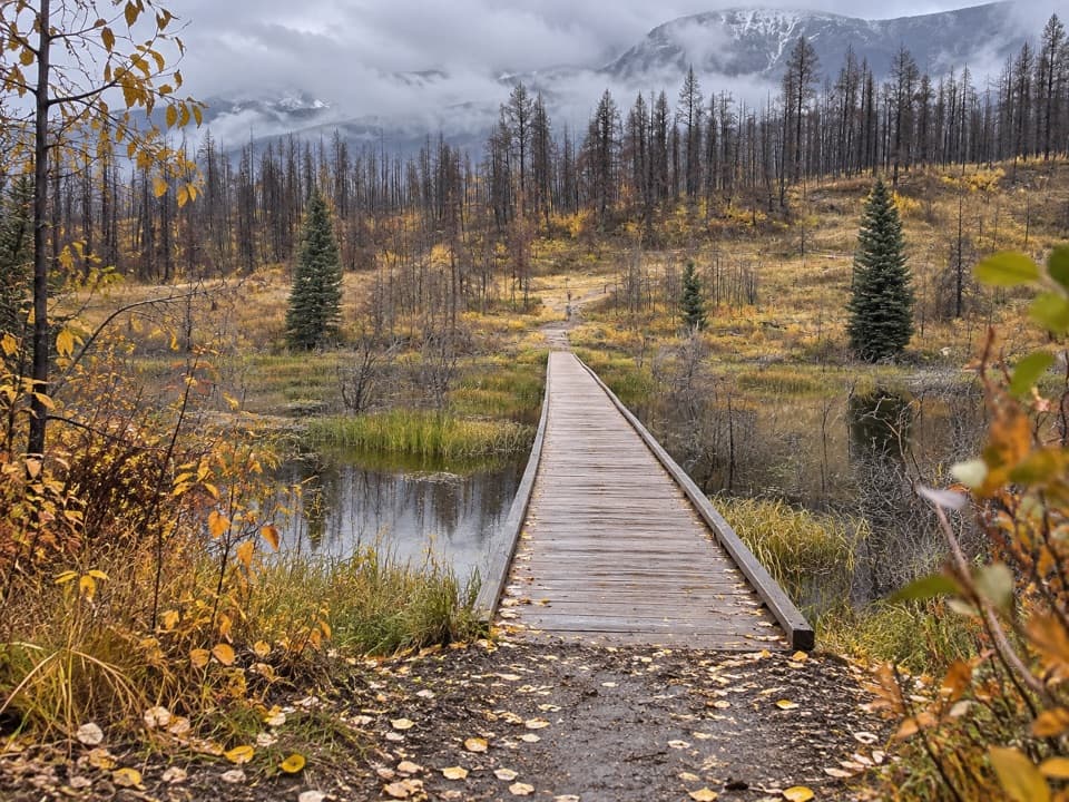 EasyWetland Way1.8 km · 30 min · At the trailheadA level forest walk to a bridge across a wetland.
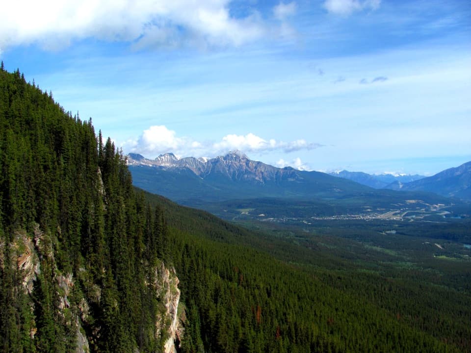 EasyEdge of the World Trail0.6 km · 30 min · 3.7 km awayA quick walk to a wide valley view from a cliff edge.
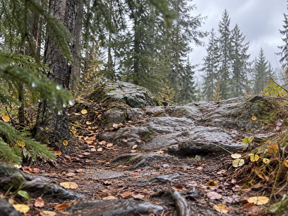 ChallengingWabasso–Curator Trail15 km · 7 hr · 5.2 km awayA steep 15 km climb from the Icefields Parkway to the Skyline.
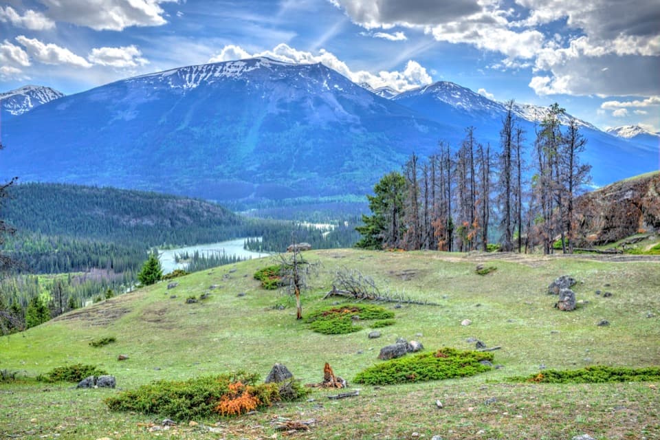 ModerateOld Fort Point Loop3.8 km · 1.3 hr · 7.5 km awayA short climb, a sweeping view over Jasper and the Athabasca
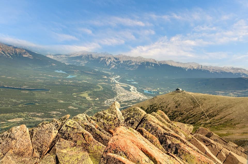 ModerateThe Whistlers Summit Trail2.2 km · 1.5 hr · 7.5 km awayExposed alpine climb to Whistlers Summit for sweeping valley views.
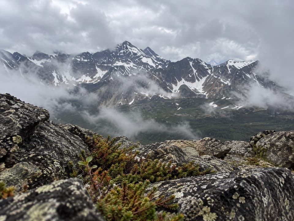 ChallengingIndian Ridge Trail from Whistlers Summit8.9 km · 5.5 hr · 7.6 km awayFour alpine humps lead to wide views beyond Whistlers Summit.
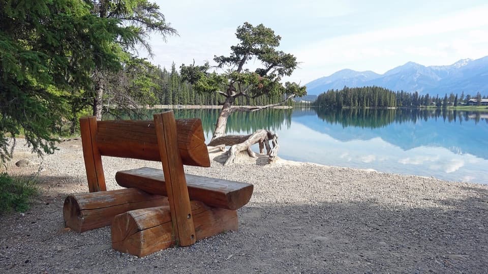 EasyLakes Loop Trail13.9 km · 2.5 hr · 8.2 km awayA gentle town loop links Jasper with three lakes and beaches.
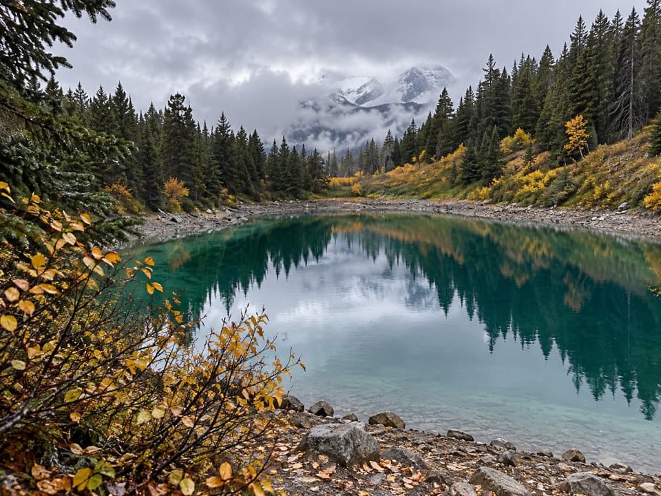 Sight · 1.5 km awayRed Chairs at the Valley of the Five LakesA chair-side pause on a glacially carved five-lake walk.
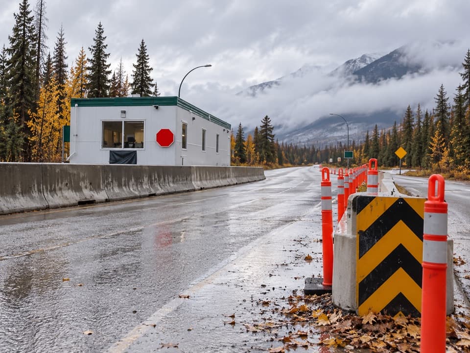 Entrance station · 2.3 km awayJasper National Park South GateA pass checkpoint on the Icefields Parkway, six kilometres south of town.
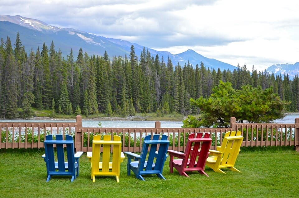 Lodging · 3.4 km awayBecker’s ChaletsCabins beside the Athabasca, with elk often across the river
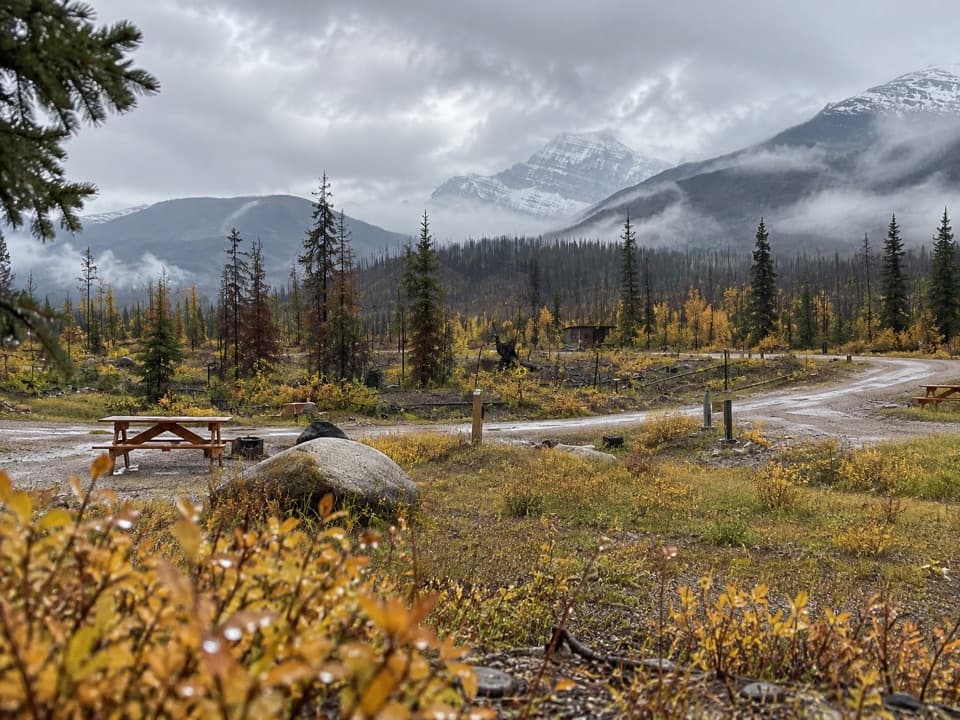 Campground · 3.8 km awayWapiti CampgroundA practical campground base a short drive from Jasper.
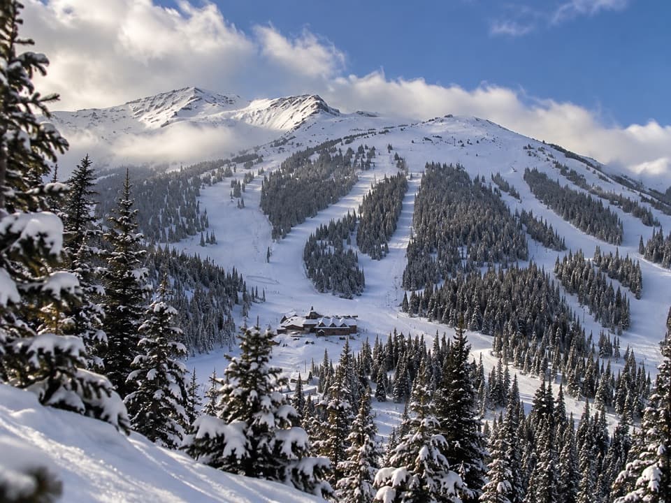 Sight · 4.1 km awayMarmot BasinFive faces of skiing, from gentle groomers to alpine bowls.
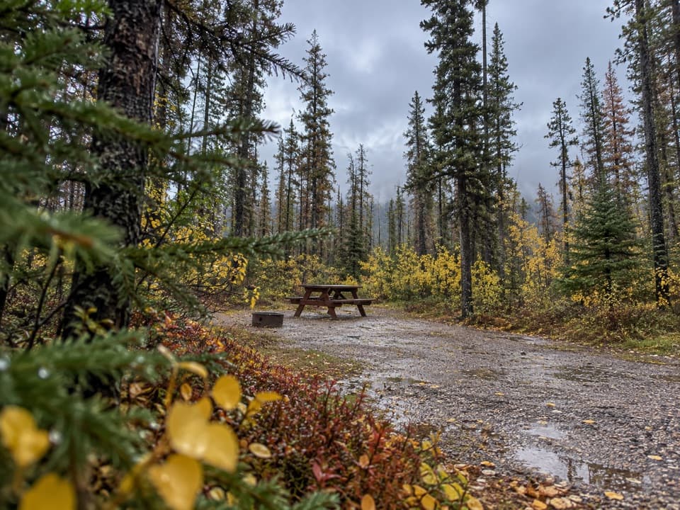 Campground · 5 km awayWabasso CampgroundA frontcountry base beside the Athabasca River.
 Campground · 5.7 km awayWhistlers CampgroundHot showers, open mountain views, and elk through camp.
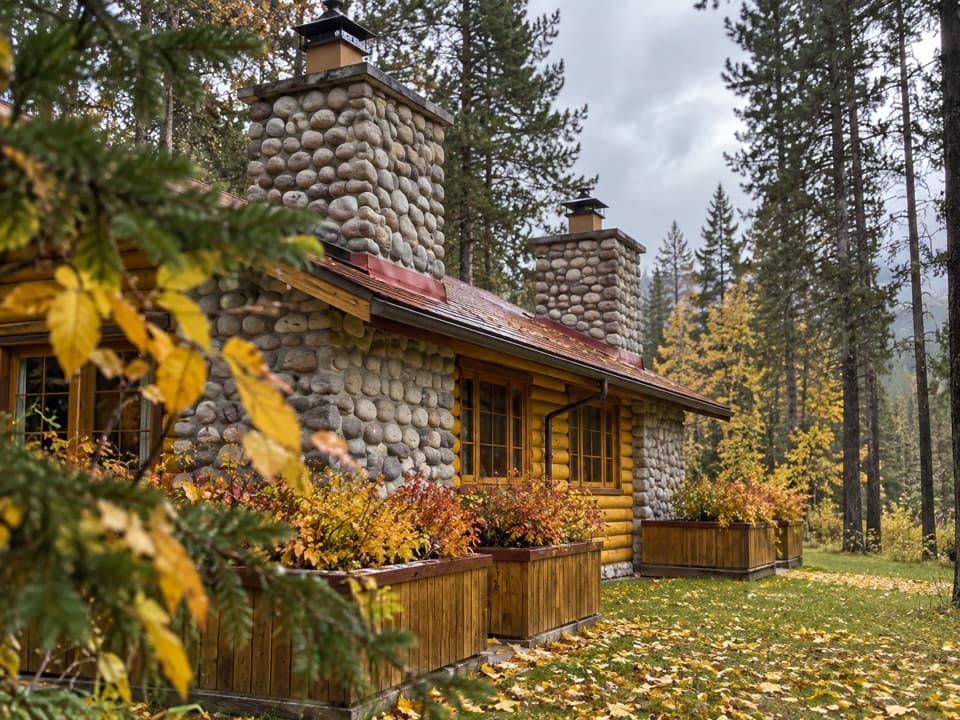 Lodging · 6.8 km awayAlpine Village Cabin ResortA riverside log-cabin base with mountain views, elk, and a hot tub.
Parkwolf’s Jasper ranking

The audio tour guide for the drive, plus offline maps, trails, and wildlife heatmaps for when the signal drops.





