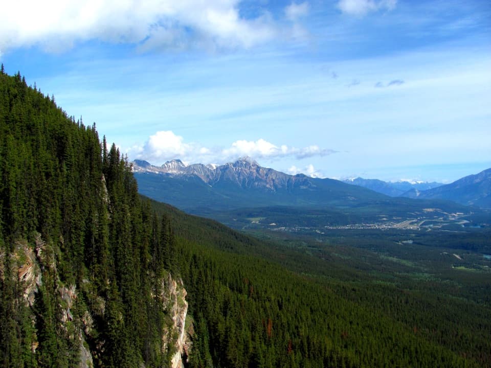
Edge of the World Trail in Jasper National Park

Jasper National Park, AB

Edge of the World Trail

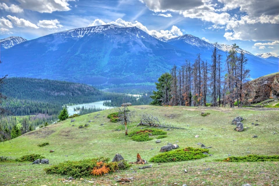
A quick walk to a wide valley view from a cliff edge.

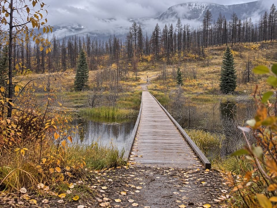
Photo: Sersarsor, CC BY-SA 4.0, via Wikimedia Commons

Length
0.6km
Time
30min
Elev. change
16m
Difficulty
Easy
  • High point 1,637 m

Hear the audio tour

Marmot Basin: A Day on the Slopes

Overview

About Edge of the World Trail

Why go

  • A wide valley and mountain outlook for very little walking

Heads up

  • Unsigned tread and uncertain roadside parking

Map & elevation

The route

Loading the Jasper map
Full map
Elevation1,621–1,637 m
TrailheadMarmot Road bend before the Marmot Basin gates52.80298, -118.07756
Keep this map with you offline in the Parkwolf app

Plan your hike

Before you go

Parking

No formal lot. A small roadside pullout is described on Marmot Road near the bend before the Marmot Basin gates, but reports conflict about whether stopping at the corner is permitted. Confirm a legal, stable place to park; do not block traffic or use soft shoulders.

Safety

This is an unmarked, unmaintained path, not a confirmed designated Parks Canada hiking trail; Parks Canada advises visitors to stay on designated trails. The viewpoint has an unprotected cliff edge, so keep well back from the rim.

4 active Jasper alerts

  • ClosureCavell Road and Maligne Canyon closedCavell Road and Maligne Canyon are closed; do not plan access to these areas.Official details
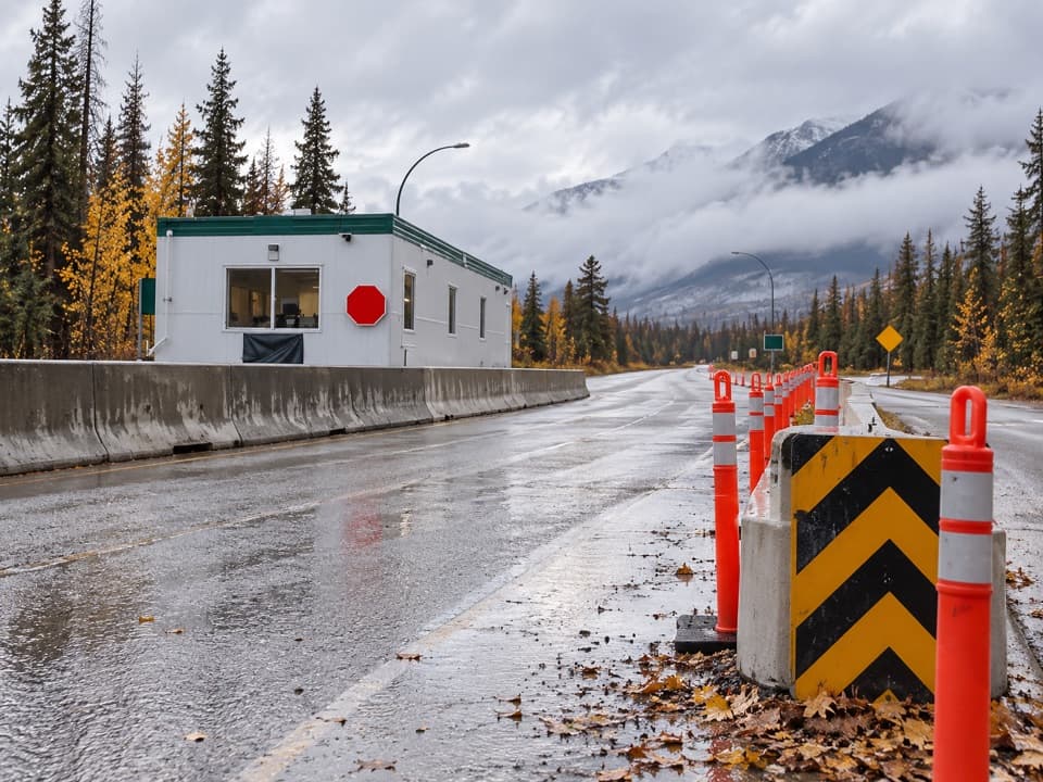
  • Caution93A construction restricts cyclistsConstruction on Highway 93A between the north end of 93N and Marmot Road means single-lane vehicle access and no cycling from November 2026 through spring 2027.Official details
See all 4 alerts
A park ranger sits on a dash-mounted phone, talking, as Parkwolf’s Tour Guide plays “Army Cutworm Moths: A Grizzly Bear Buffet” on Grand Loop Road below Dunraven Pass in Yellowstone
Parkwolf Tour GuideThe highest, rockiest slopes around here are a summer buffet for grizzly bears.

Jasper Tour Guide

Your drive to Edge of the World Trail, narrated.

Parkwolf is a GPS audio tour guide for Jasper National Park. As you drive, it chimes in with what’s ahead: hidden gems, upcoming stops, history, geology, and wildlife, right through your car’s speakers.

See the Jasper audio tour

Recorded for this area

Marmot Basin: A Day on the Slopes
0:00 / 0:34
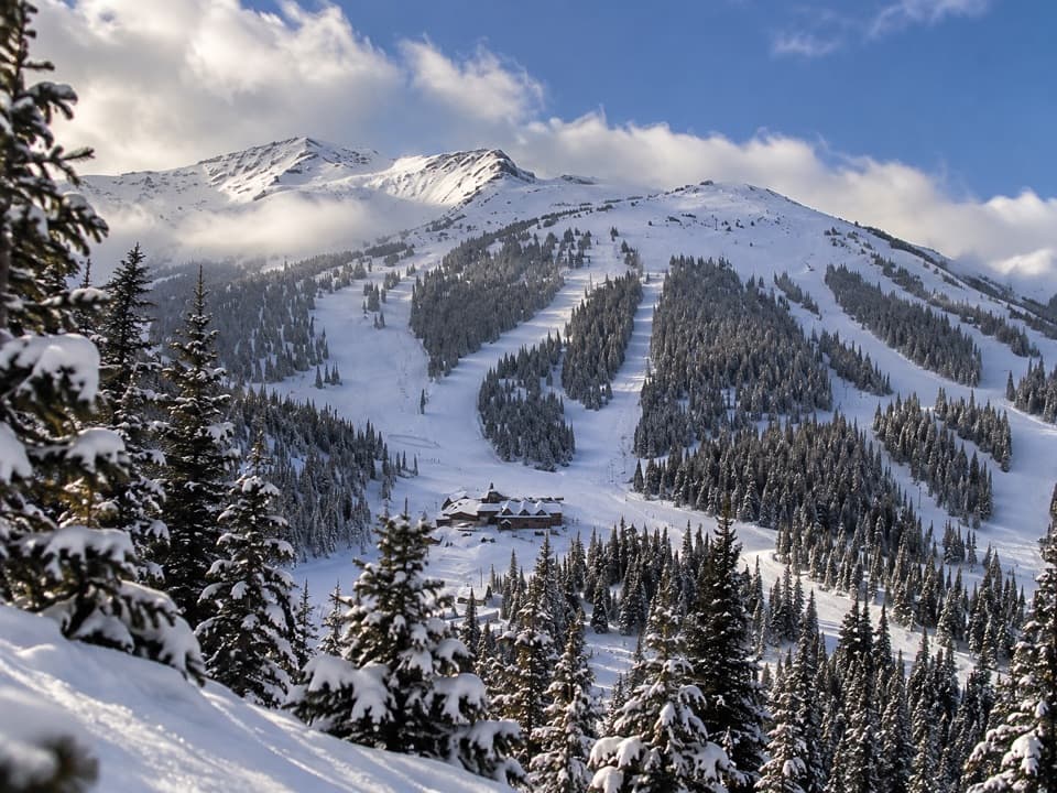
“You're nearing Marmot Basin, where the ski slopes spread across five mountain faces. Plan a full day here for downhill skiing or snowboarding.”

Plays near this trailhead in the Parkwolf Jasper Tour Guide.

More stories near here in the app

  • The Bear from the Cartoon Page
  • The Bird Built for a Needle Diet
  • A Brown Bear Can Be a Black Bear
  • The Jay That Glues Its Lunch Away
  • 170 audio storiesacross Jasper’s roads, triggered by GPS as you drive
  • Wildlife heatmapsfor Grizzly Bear, Caribou, Gray Wolf, and 13 more
  • Works offlinemaps, 74 trails, 189 places, and audio download before you lose signal
  • CarPlay readysimple controls built for the drive
★★★★★
“Fantastic app with many points of information… It’s great to just turn on while you’re driving and it gives you an audio tour of the national Park. We love it!!!!”
JMJamesApp Store review
Download Parkwolf on the App StoreGet Parkwolf on Google Play

4.7 from 8,600+ ratings

Trail guide

Hiking Edge of the World Trail

A short out-and-back for the viewEdge of the World is an informal walk from a bend on Marmot Road to a cliff-side viewpoint…

Edge of the World is an informal walk from a bend on Marmot Road to a cliff-side viewpoint above a broad forested valley and distant peaks. The mapped footpath is about 0.18 mi one way, or 0.37 mi round trip. Other published estimates reach 0.6–0.7 mi, and the difference is not explained; the mapped figure does not include any extra walk from a roadside parking spot. Allow about 30 minutes for the walk and time at the viewpoint.

Finding the pathThe footpath leaves Marmot Road near the bend before the Marmot Basin gates.

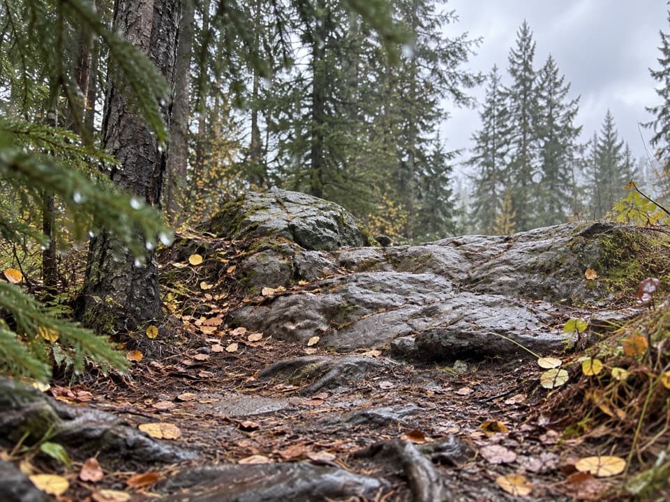
The footpath leaves Marmot Road near the bend before the Marmot Basin gates. A faint cutline parallels the road before joining an unsigned dirt path through the trees. The starting point is easy to miss, and there is no formal trailhead or maintained waymarking.

There is no formal parking lot. Roadside stopping is disputed, so confirm a legal, stable place before leaving your vehicle; do not block traffic or use the soft shoulders.
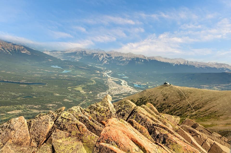
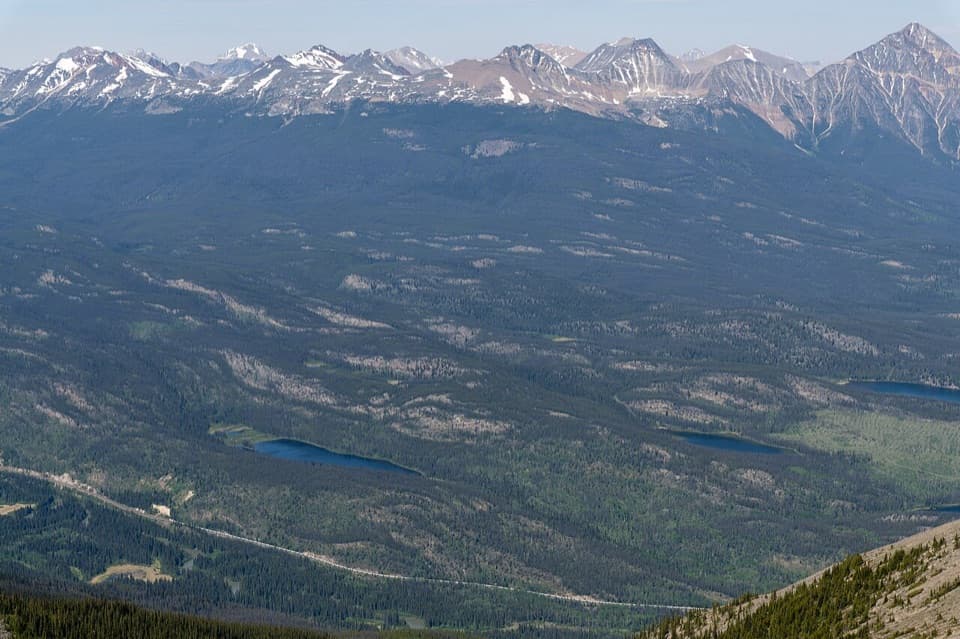
At the cliff edgeThe short walk ends at a wide valley-and-mountain outlook from a forested cliff edge.

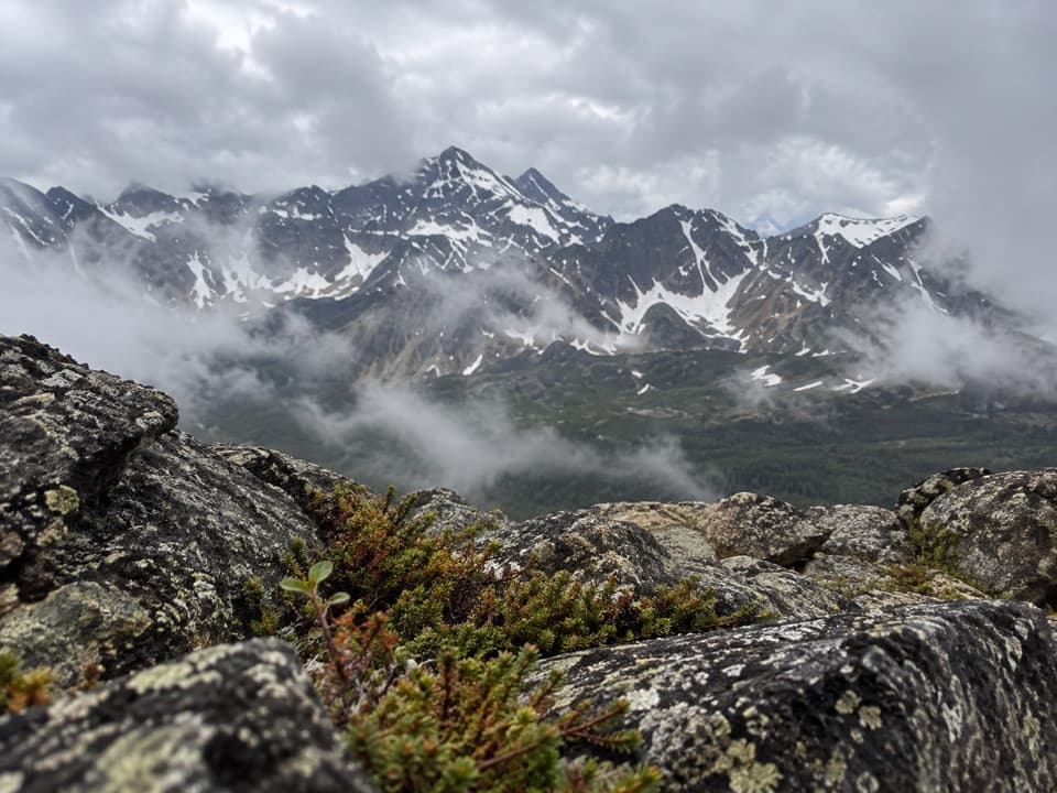
The short walk ends at a wide valley-and-mountain outlook from a forested cliff edge. There is no barrier at the rim. Keep well back from the drop and supervise children closely. For a phone photo, leave the rocky, tree-lined edge in the foreground to give the valley some scale.

Wildlife

Wildlife in Jasper

All Jasper wildlife maps

Sighting maps show where each species has been reported across Jasper. Wildlife moves, so no sighting is guaranteed.

Keep exploring

Near Edge of the World Trail

See it all on the map

Trails that start nearby

Places near the trailhead

Parkwolf’s Jasper ranking

Top-rated trails in Jasper

All 74 trails
  1. 1Skyline TrailChallenging · 44.1 km
  2. 2Cavell Meadows TrailModerate · 6.4 km
  3. 3Sulphur Skyline TrailChallenging · 8.8 km
  4. 4Bald Hills TrailChallenging · 10.4 km
  5. 5Wilcox Pass TrailChallenging · 6.8 km
  6. 6Tonquin Valley TrailChallenging · 43.1 km

Take Parkwolf to Jasper.

The audio tour guide for the drive, plus offline maps, trails, and wildlife heatmaps for when the signal drops.

4.7 from 8,600+ ratings

Download Parkwolf on the App StoreGet Parkwolf on Google Play