Paac Kü̱vü̱hü̱’k in Joshua Tree National Park

Sight · Joshua Tree National Park

Paac Kü̱vü̱hü̱’k

A vanished lake still writes its story across this desert.

Photo: National Park Service
Type
Sight
Nearest trail
3.7 mi
  • Parking
  • Trailhead
Parkwolf audio tour89 stories across Joshua Tree’s roads

Overview

About Paac Kü̱vü̱hü̱’k

Why stop

  • The playa and surrounding landforms make basin geology tangible.

Map

Where it is

Loading the Joshua Tree map
Full map
SightPaac Kü̱vü̱hü̱’k33.92881, -116.07671
Keep this map with you offline in the Parkwolf app

Plan your stop

Before you go

5 active Joshua Tree alerts

  • ClosureGeology Tour Road closed by floodingMentions Geology Tour Road, referenced in this guideGeology Tour Road is temporarily closed because flooding followed a significant amount of rain in the park; do not drive the road while it is closed. Check current park conditions before visiting.Official details
  • ClosureOasis of Mara Trail closed past the OasisThe Oasis of Mara Trail is closed past the Oasis due to a heavy flooding event; do not continue beyond the Oasis. Check current park conditions before visiting.Official details

See all 5 alerts
A park ranger sits on a dash-mounted phone, talking, as Parkwolf’s Tour Guide plays “Army Cutworm Moths: A Grizzly Bear Buffet” on Grand Loop Road below Dunraven Pass in Yellowstone
Parkwolf Tour GuideThe highest, rockiest slopes around here are a summer buffet for grizzly bears.

Joshua Tree Tour Guide

Your drive to Paac Kü̱vü̱hü̱’k, narrated.

Parkwolf is a GPS audio tour guide for Joshua Tree National Park. As you drive, it chimes in with what’s ahead: hidden gems, upcoming stops, history, geology, and wildlife, right through your car’s speakers.

See the Joshua Tree audio tour

More stories near here in the app

  • Jumbo Rocks: Camping Among the Boulders
  • Farming on a Few Wet Years
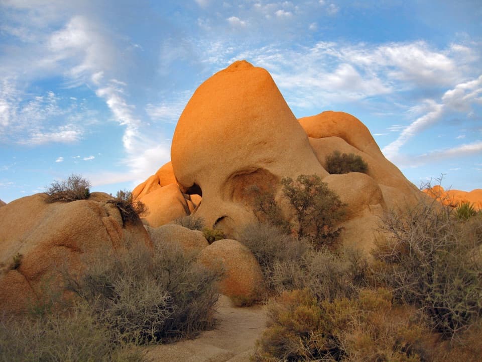
  • Skull Rock and Its Rain-Worn Face
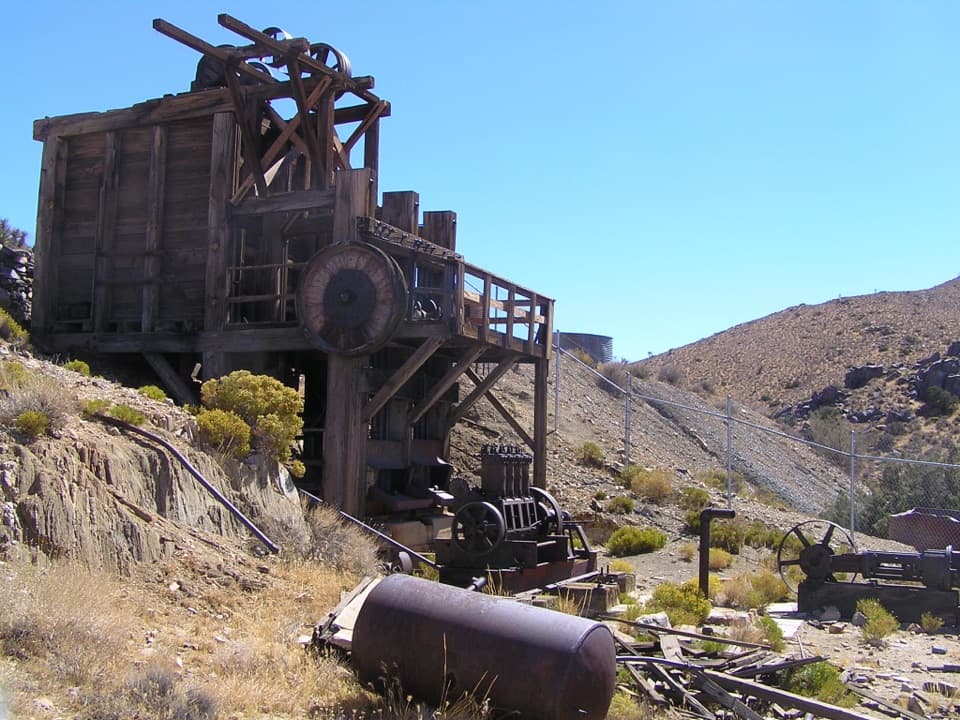
  • Lost Horse Mine and Its Stamp Mill
  • 89 audio storiesacross Joshua Tree’s roads, triggered by GPS as you drive
  • Wildlife heatmapsfor Bighorn Sheep, Golden Eagle, Desert Tortoise, and 13 more
  • Works offlinemaps, 60 trails, 64 places, and audio download before you lose signal
  • CarPlay readysimple controls built for the drive
★★★★★
“Fantastic app with many points of information… It’s great to just turn on while you’re driving and it gives you an audio tour of the national Park. We love it!!!!”
JMJamesApp Store review
Download Parkwolf on the App StoreGet Parkwolf on Google Play

4.7 from 8,600+ ratings

Guide

More about Paac Kü̱vü̱hü̱’k

A stop for the basinPaac Kü̱vü̱hü̱’k is a modest interpretive stop on Geology Tour Road, with a medium-sized dirt…

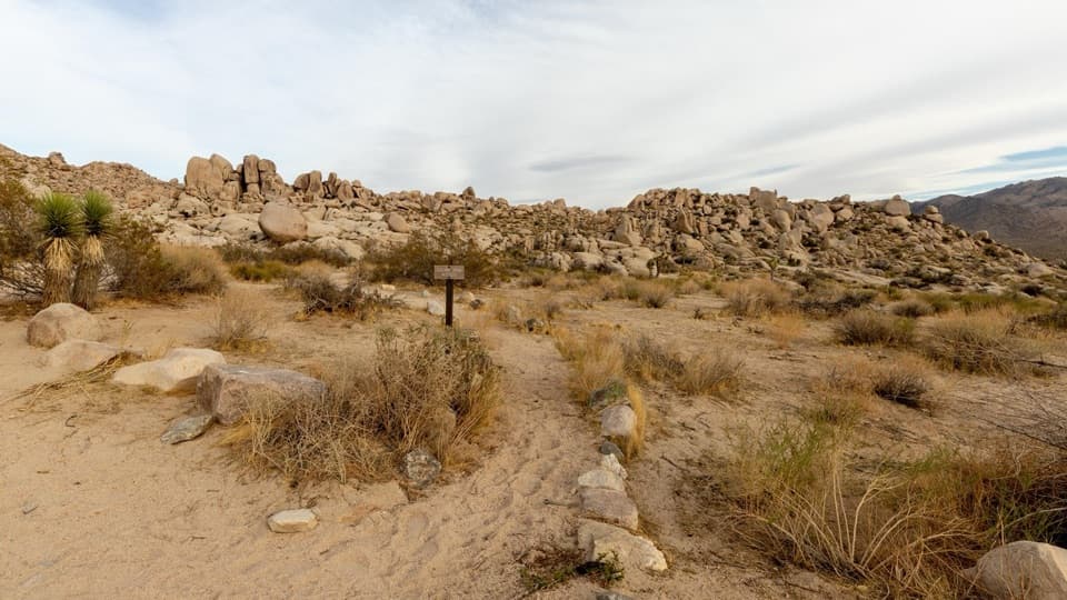
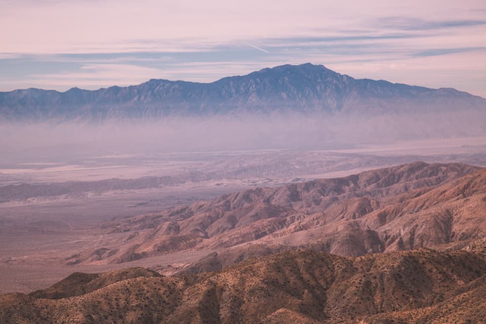
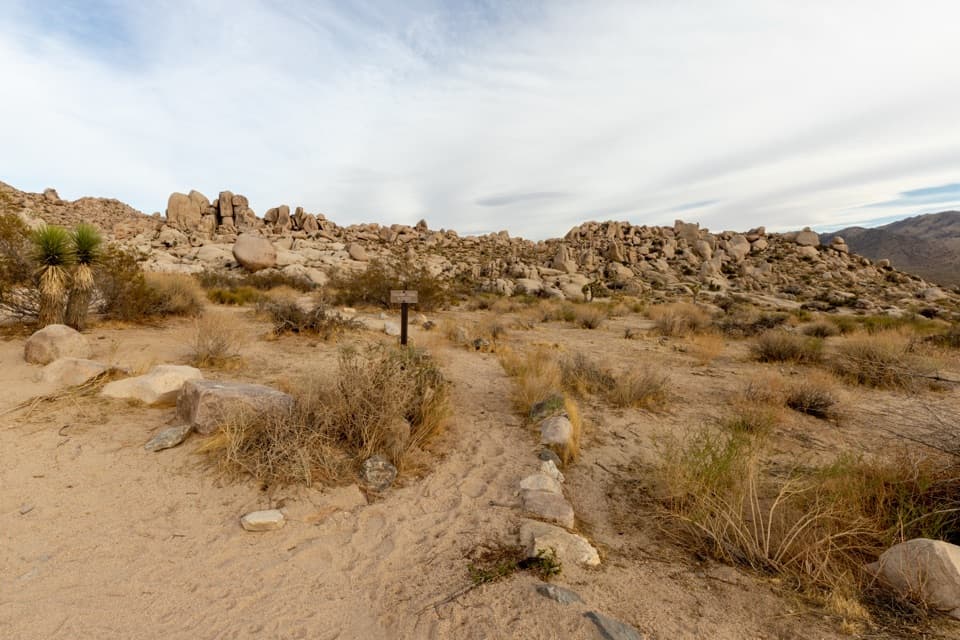
Paac Kü̱vü̱hü̱’k is a modest interpretive stop on Geology Tour Road, with a medium-sized dirt parking area and trailhead on the road’s east side. It is worth a pause if you want to understand how this desert basin formed; the payoff is in reading the land around you, not in a single built attraction. The open valley and mountains lie to the south.

Where a lake once stoodStreams once fed a seasonal lake here.

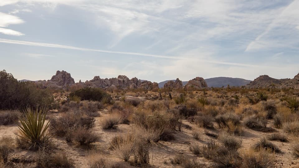
Streams once fed a seasonal lake here. As the region warmed and dried after the Pleistocene, the lake gave way to a playa, with clay and silt deposits hundreds of feet deep. That wetter past helps explain the broad, sediment-filled basin below its rocky slopes.

Read the landformsLook for dry washes, gently sloping bedrock surfaces called pediments, and broad bajadas formed…

Look for dry washes, gently sloping bedrock surfaces called pediments, and broad bajadas formed where alluvial fans meet. Together they show how streams moved rock and sediment from the mountains into the valley. If you explore beyond the parking area, bring plenty of water.

Wildlife

Wildlife in Joshua Tree

All Joshua Tree wildlife maps

Sighting maps show where each species has been reported across Joshua Tree. Wildlife moves, so no sighting is guaranteed.

Parkwolf’s Joshua Tree ranking

Top sights in Joshua Tree

All 64 places
  1. 1Keys ViewSight
  2. 2Skull RockSight
  3. 3Cholla Cactus GardenSight
  4. 4Arch RockSight
  5. 5Barker DamSight
  6. 6Keys RanchSight

Take Parkwolf to Joshua Tree.

The audio tour guide for the drive, plus offline maps, trails, and wildlife heatmaps for when the signal drops.

4.7 from 8,600+ ratings

Download Parkwolf on the App StoreGet Parkwolf on Google Play