Malapai Hill Viewpoint in Joshua Tree National Park

Scenic pullout · Joshua Tree National Park

Malapai Hill Viewpoint

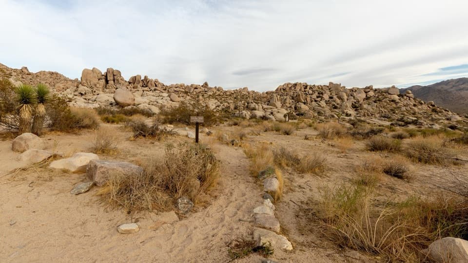
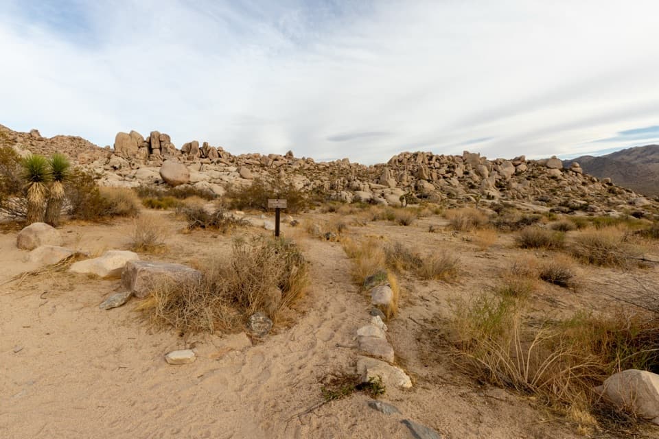
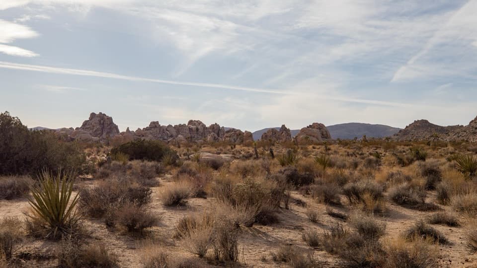
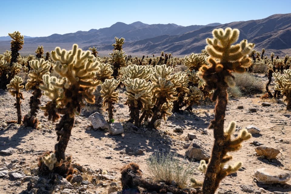
Dark basalt hill stands above the older granite of Queen Valley.

Photo: National Park Service
Type
Scenic pullout
Nearest trail
3.3 mi
  • Parking
Parkwolf audio tour89 stories across Joshua Tree’s roads

Overview

About Malapai Hill Viewpoint

Why stop

  • A dark volcanic formation against a broad desert setting.

Map

Where it is

Loading the Joshua Tree map
Full map
Scenic pulloutMalapai Hill Viewpoint33.94026, -116.07792
Keep this map with you offline in the Parkwolf app

Plan your stop

Before you go

5 active Joshua Tree alerts

  • ClosureGeology Tour Road closed by floodingMentions Geology Tour Road, referenced in this guideGeology Tour Road is temporarily closed because flooding followed a significant amount of rain in the park; do not drive the road while it is closed. Check current park conditions before visiting.Official details
  • ClosureOasis of Mara Trail closed past the OasisThe Oasis of Mara Trail is closed past the Oasis due to a heavy flooding event; do not continue beyond the Oasis. Check current park conditions before visiting.Official details

See all 5 alerts
A park ranger sits on a dash-mounted phone, talking, as Parkwolf’s Tour Guide plays “Army Cutworm Moths: A Grizzly Bear Buffet” on Grand Loop Road below Dunraven Pass in Yellowstone
Parkwolf Tour GuideThe highest, rockiest slopes around here are a summer buffet for grizzly bears.

Joshua Tree Tour Guide

Your drive to Malapai Hill Viewpoint, narrated.

Parkwolf is a GPS audio tour guide for Joshua Tree National Park. As you drive, it chimes in with what’s ahead: hidden gems, upcoming stops, history, geology, and wildlife, right through your car’s speakers.

See the Joshua Tree audio tour

More stories near here in the app

  • Jumbo Rocks: Camping Among the Boulders
  • Farming on a Few Wet Years
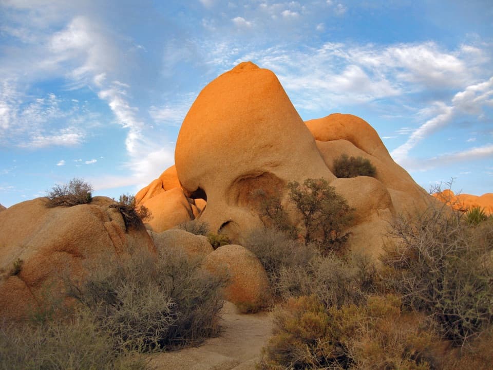
  • Skull Rock and Its Rain-Worn Face
  • Live Oak Picnic Area and Its Unlikely Tree
  • 89 audio storiesacross Joshua Tree’s roads, triggered by GPS as you drive
  • Wildlife heatmapsfor Bighorn Sheep, Golden Eagle, Desert Tortoise, and 13 more
  • Works offlinemaps, 60 trails, 64 places, and audio download before you lose signal
  • CarPlay readysimple controls built for the drive
★★★★★
“Fantastic app with many points of information… It’s great to just turn on while you’re driving and it gives you an audio tour of the national Park. We love it!!!!”
JMJamesApp Store review
Download Parkwolf on the App StoreGet Parkwolf on Google Play

4.7 from 8,600+ ratings

Guide

More about Malapai Hill Viewpoint

A short stop on Geology Tour RoadMalapai Hill Viewpoint is a small dirt pullout on the west side of Geology Tour Road and Stop 5…

Malapai Hill Viewpoint is a small dirt pullout on the west side of Geology Tour Road and Stop #5 on the Geology Motor Tour. It gives you a direct look at dark Malapai Hill above Queen Valley, with a broad plain and scattered rock formations around it. This is a brief stop for the geology and the view; the pullout itself is enough to see the hill.

What to notice from the pulloutLook west toward the dark hill.

Look west toward the dark hill. The plain slopes gently toward mountains to the south, while smaller rock formations dot the north and east. For a photo, frame the hill with the boulders or Joshua trees in the foreground. If you plan to explore on foot, the park cautions against hiking up or around the hill in high temperatures.

A younger cap of basaltMalapai Hill is hard, black basalt, likely formed within the past 15 million years.

Malapai Hill is hard, black basalt, likely formed within the past 15 million years. That makes it much younger than the surrounding monzogranite. The basalt weathers and erodes slowly, which helps the hill stand out above Queen Valley.

The Blue Cut FaultAn interpretive panel at the viewpoint also covers the Blue Cut Fault to the south-southwest.

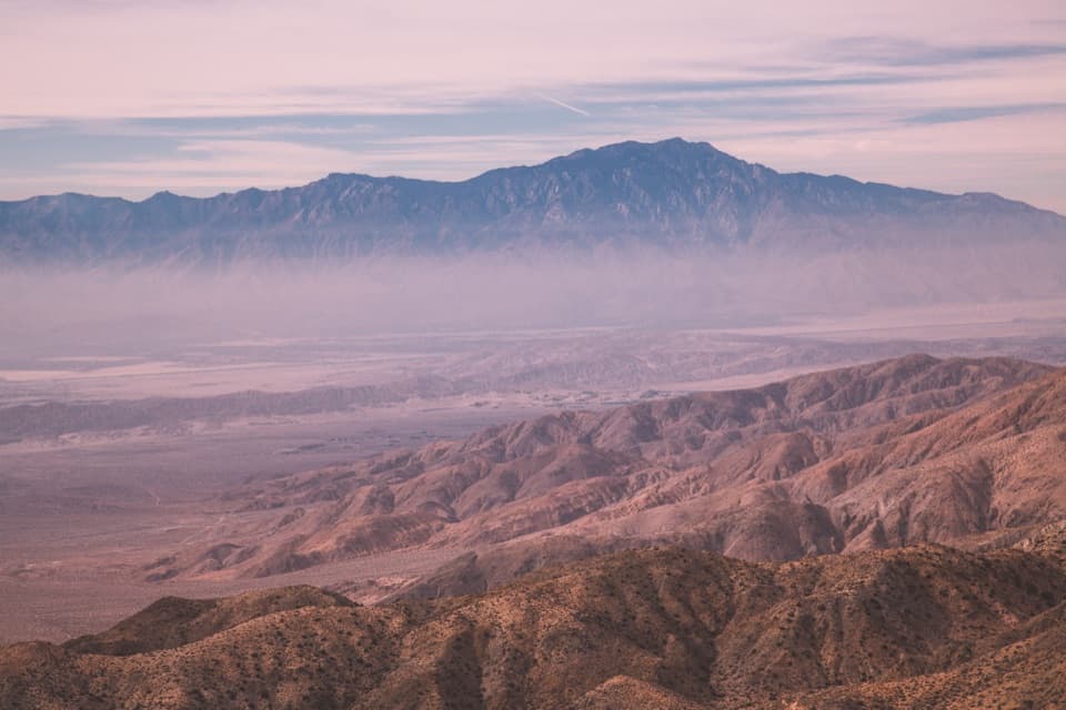
An interpretive panel at the viewpoint also covers the Blue Cut Fault to the south-southwest. It extends more than 50 miles through the park; movement over the past few million years offset rock by more than four miles and uplifted the Hexie Mountains along Pleasant Valley's northern edge. No earthquake has been recorded on the fault in the past 8,000 years, though it remains active and could produce a moderate earthquake.

Wildlife

Wildlife in Joshua Tree

All Joshua Tree wildlife maps

Sighting maps show where each species has been reported across Joshua Tree. Wildlife moves, so no sighting is guaranteed.

Keep exploring

Near Malapai Hill Viewpoint

See it all on the map

Trails nearby

More stops nearby

Parkwolf’s Joshua Tree ranking

Top sights in Joshua Tree

All 64 places
  1. 1Keys ViewSight
  2. 2Skull RockSight
  3. 3Cholla Cactus GardenSight
  4. 4Arch RockSight
  5. 5Barker DamSight
  6. 6Keys RanchSight

Take Parkwolf to Joshua Tree.

The audio tour guide for the drive, plus offline maps, trails, and wildlife heatmaps for when the signal drops.

4.7 from 8,600+ ratings

Download Parkwolf on the App StoreGet Parkwolf on Google Play