Parking
Follow the unpaved Lost Horse Mine Road from Keys View Road to the Lost Horse Mine Trailhead parking area. An accessible vault toilet is at the trailhead.

#7 of 60 trails in Joshua Tree
Joshua Tree National Park, CA
A rocky desert walk to a wooden mine and stamp mill.
Overview
Lost Horse Mine Trail is a 4-mile out-and-back from the Lost Horse Mine Trailhead to a fenced stamp mill and the mining equipment around it. The route climbs about 550 feet across open desert slopes among Joshua trees, yucca, and scattered boulders. Give it two to three hours, including time at the mine. I’d choose it for the unusual historic destination, not a summit finish. The separate Lost Horse Loop is longer: NPS describes it as 6.2 miles with 1,292 feet of climbing. The four-mile figure includes the mine spur and the return to the lot, but not the loop’s far side. There’s no different descent, so you repeat the final climb on the way back.
 Parkwolf’s verdictThe mine is the payoff
Map & elevation
Plan your hike

The highest, rockiest slopes around here are a summer buffet for grizzly bears.
Joshua Tree Tour Guide
Parkwolf is a GPS audio tour guide for Joshua Tree National Park. As you drive, it chimes in with what’s ahead: hidden gems, upcoming stops, history, geology, and wildlife, right through your car’s speakers.
See the Joshua Tree audio tourRecorded for this trailhead
Lost Horse Mine and Its Stamp Mill“Up ahead is the Lost Horse Mine trailhead, for a hike to a surviving timber stamp mill. Choose the four-mile out-and-back for the mine, allowing two to three hours and about five hundred fifty feet of climbing.”
Plays as you drive up to this trailhead in the Parkwolf Joshua Tree Tour Guide.
More stories near here in the app
“Fantastic app with many points of information… It’s great to just turn on while you’re driving and it gives you an audio tour of the national Park. We love it!!!!”


Trail guide
From the parking area, the track heads east, then southeast, on a mostly gentle climb. The dirt and rock tread crosses ridges dotted with boulders and desert plants, with little shade. Near the mine, it follows the north side of a rocky slope and bends around two ravines. That last turn keeps the mill out of view until you’re close. Once you reach it, the short route turns back the way you came; the longer loop carries on around the hill.
The destination is a ten-stamp mill with a tall wooden frame, rusted machinery, pumps, and nearby foundations. Take time to look at the machinery as well as the building; this is more than a walk to a single ruin. The site is fenced for safety. Stay outside the fence: the historic structures are unstable and can crumble under a person’s weight. The mill and equipment make the most interesting photo together, with the hillside around them for scale.
Lost Horse was one of the few successful operations among the more than 300 mines in what is now the park. Johnny Lang bought the mining rights for $1,000, and J.D. Ryan bought out Lang’s partners in 1895. Miners hit a fault in 1905 and lost the main ore vein. The mine changed hands and had long inactive stretches, but it still produced gold and silver over several decades. The site became part of Joshua Tree National Monument in 1936.
Take the unpaved Lost Horse Mine Road from Keys View Road to the trailhead parking area. There’s an accessible vault toilet at the trailhead, but no water or food service along the route. Bring your supplies from the start. With so little shade, NPS advises against hiking here in summer heat; cooler conditions make the exposed climb much more comfortable. Pets aren’t allowed on Joshua Tree’s hiking trails.
Wildlife
 129 sightingsBighorn SheepMost seen around 6 PMSighting map
 15 sightingsGolden EagleMost seen around 10 AMSighting map
 413 sightingsDesert TortoiseMost seen around 8 AMSighting map
 275 sightingsCoyoteMost seen around 6 AMSighting map
 47 sightingsBobcatMost seen around 6 PMSighting map
 32 sightingsMule DeerMost seen around 6 AMSighting map
Sighting maps show where each species has been reported across Joshua Tree. Wildlife moves, so no sighting is guaranteed.
Keep exploring
 ChallengingLost Horse Loop6.3 mi · 3.5 hr · 0.1 mi awayAn exposed loop past a historic mine with broad desert views.
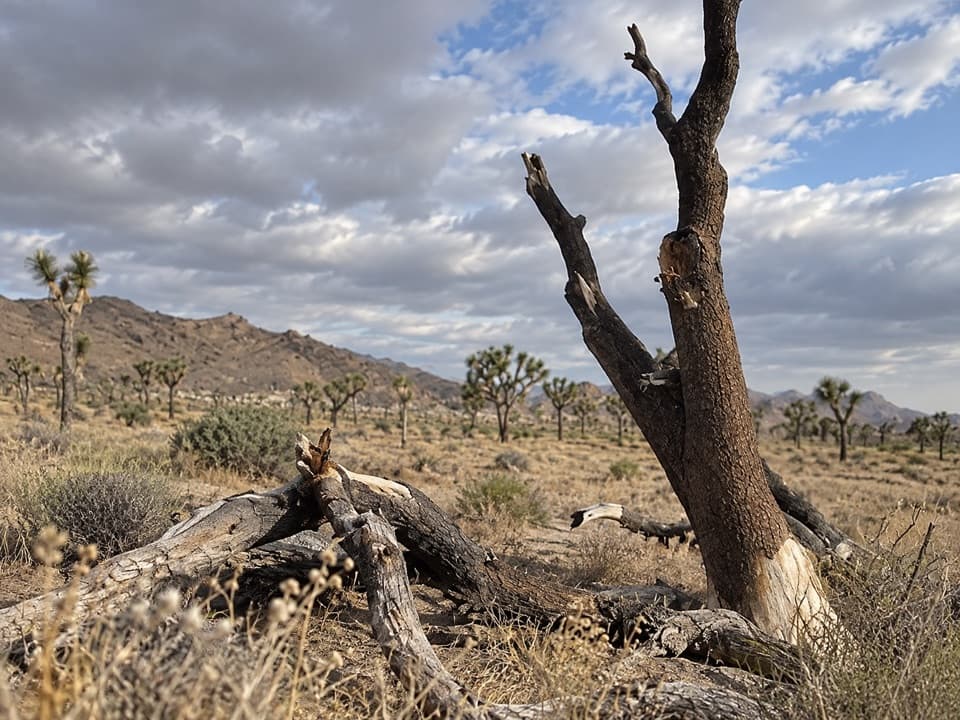 ModerateStubbe Springs Loop Trail12 mi · 6 hr · 1.8 mi awayA long, sandy desert loop to a green spring valley.
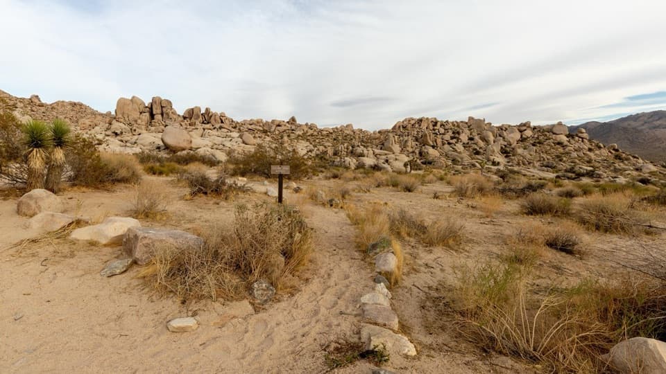 ModeratePaac Kü̱vü̱hü̱’k Trail4.5 mi · 3 hr · 1.9 mi awayA long, exposed traverse through open desert and scattered boulders.
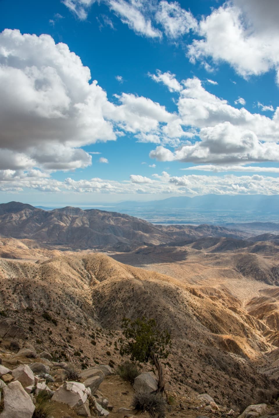 EasyKeys View Nature Trail0.3 mi · 20 min · 2.3 mi awayA short paved loop for the Coachella Valley panorama.
 ModerateInspiration Peak Trail1.8 mi · 1.5 hr · 2.3 mi awayA rocky summit adds the view Keys View can't give.
 ModerateBig Trees Trail6 mi · 3.5 hr · 2.4 mi awayA long out-and-back among some of the park's larger Joshua trees.
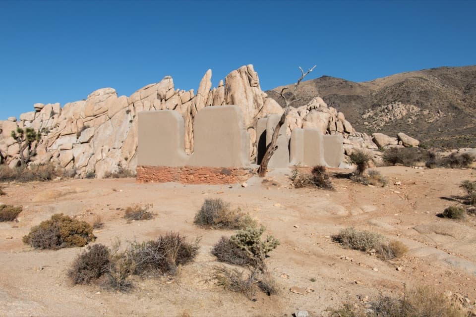 EasyRyan Ranch Trail1 mi · 1 hr · 2.7 mi awayAn easy mile to the old adobe ranch and fallen windmill.
 EasyCap Rock Nature Trail0.4 mi · 36 min · 2.7 mi awayA quick loop among boulders, Joshua trees, and trail signs.
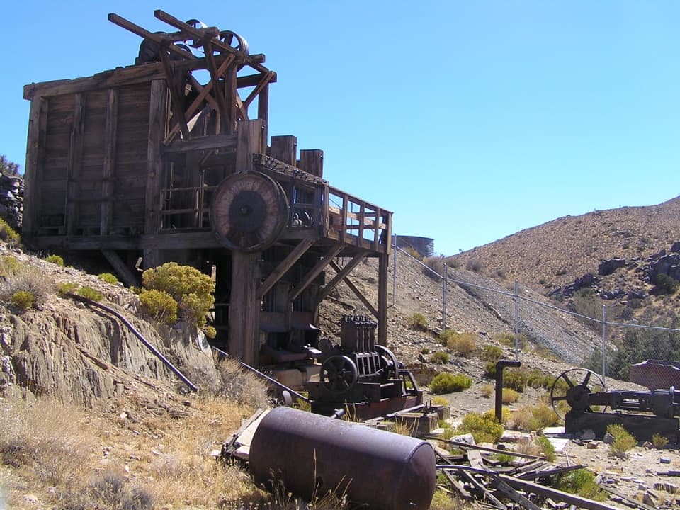 Sight · 1.5 mi awayLost Horse MineA stamp mill, gears, and rusted machinery at hike’s end.
 Campground · 2.3 mi awayRyan CampgroundCamp among boulders, with a short walk to 1896 ranch ruins.
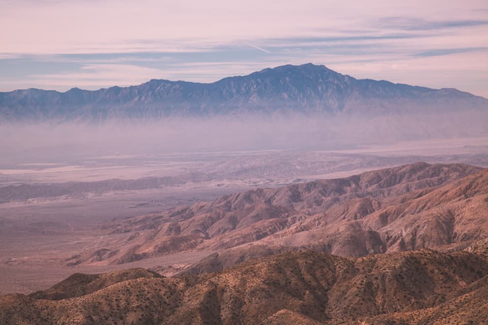 Sight · 2.3 mi awayKeys ViewA near mile-deep drop opens onto the Coachella Valley.Sight · 2.4 mi awayRyan RanchA short desert walk to the remains of an 1896 adobe homestead.
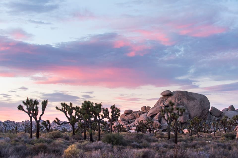 Sight · 2.7 mi awayCap RockA short boulder loop with a cap-shaped rock beside Joshua trees.
 Sight · 2.8 mi awayRyan MountainClimb through ancient banded rock for a 360-degree summit view.
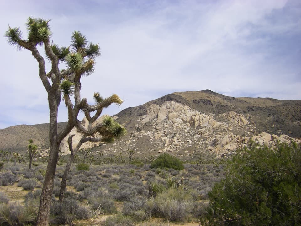 Sight · 2.9 mi awayOyster BarA roadside rock formation with desert views and climbing access.
 Sight · 3.4 mi awayHall of HorrorsTwo tight slots tucked into a maze of climbable boulders.
Parkwolf’s Joshua Tree ranking
The audio tour guide for the drive, plus offline maps, trails, and wildlife heatmaps for when the signal drops.





