Paac Kü̱vü̱hü̱’k Trail in Joshua Tree National Park

Joshua Tree National Park, CA

Paac Kü̱vü̱hü̱’k Trail

A long, exposed traverse through open desert and scattered boulders.

Photo: National Park Service
Length
4.5mi
Time
3hr
Elev. change
971ft
Difficulty
Moderate
  • No dogs
  • High point 4,406 ft

Hear the audio tour

Lost Horse Mine and Its Stamp Mill

Overview

About Paac Kü̱vü̱hü̱’k Trail

Why go

  • A broad desert crossing with mountain views.
  • A steady downhill route in the southeast direction.

Heads up

  • Exposed, sandy and remote.
  • One-way logistics; retracing makes it about nine miles.

Map & elevation

The route

Loading the Joshua Tree map
Full map
Elevation3,435–4,406 ft
TrailheadCalifornia Riding and Hiking Trail junction33.96051, -116.12943
Keep this map with you offline in the Parkwolf app

Plan your hike

Before you go

Parking

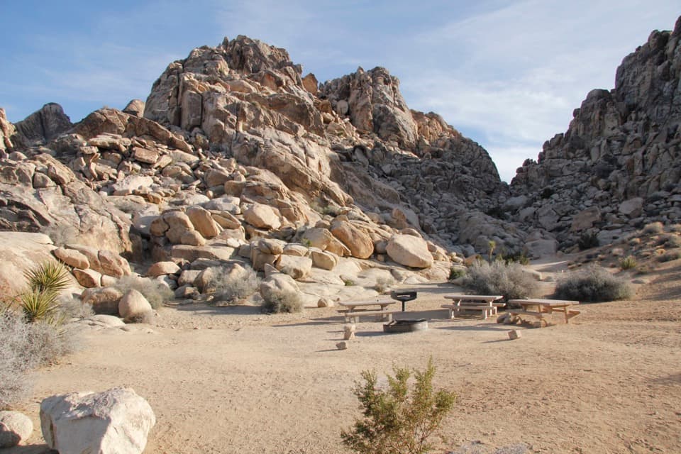
The NPS identifies auto parking at the Paac area before the Geology Tour Road loop, at the southeast end. The other end meets the California Riding and Hiking Trail; no separate parking there was verified. Arrange a pickup for the one-way walk, or start from Paac and retrace the 4.5 miles.

Safety

The route is exposed and remote, with sandy footing. Carry plenty of water, as the National Park Service advises. Retracing from the Geology Tour Road end means climbing back toward the California Riding and Hiking Trail. Pets are prohibited on hiking trails and in backcountry areas.

5 active Joshua Tree alerts

  • ClosureGeology Tour Road closed by floodingMentions Geology Tour Road, referenced in this guideGeology Tour Road is temporarily closed because flooding followed a significant amount of rain in the park; do not drive the road while it is closed. Check current park conditions before visiting.Official details
  • ClosureOasis of Mara Trail closed past the OasisThe Oasis of Mara Trail is closed past the Oasis due to a heavy flooding event; do not continue beyond the Oasis. Check current park conditions before visiting.Official details
See all 5 alerts
A park ranger sits on a dash-mounted phone, talking, as Parkwolf’s Tour Guide plays “Army Cutworm Moths: A Grizzly Bear Buffet” on Grand Loop Road below Dunraven Pass in Yellowstone
Parkwolf Tour GuideThe highest, rockiest slopes around here are a summer buffet for grizzly bears.

Joshua Tree Tour Guide

Your drive to Paac Kü̱vü̱hü̱’k Trail, narrated.

Parkwolf is a GPS audio tour guide for Joshua Tree National Park. As you drive, it chimes in with what’s ahead: hidden gems, upcoming stops, history, geology, and wildlife, right through your car’s speakers.

See the Joshua Tree audio tour

Recorded for this area

Lost Horse Mine and Its Stamp Mill
0:00 / 0:26
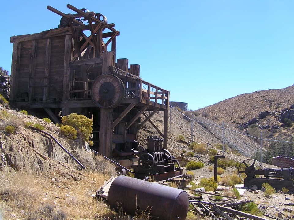
“Up ahead is the Lost Horse Mine trailhead, for a hike to a surviving timber stamp mill. Choose the four-mile out-and-back for the mine, allowing two to three hours and about five hundred fifty feet of climbing.”

Plays on the road 1.9 mi from the trailhead in the Parkwolf Joshua Tree Tour Guide.

More stories near here in the app

  • Ryan Campground Among the Joshua Trees
  • Stubbe Springs: A Full Day from Juniper Flats
  • Ryan Ranch: Adobe and Mining History
  • Crystals in the Granite
  • 89 audio storiesacross Joshua Tree’s roads, triggered by GPS as you drive
  • Wildlife heatmapsfor Bighorn Sheep, Golden Eagle, Desert Tortoise, and 13 more
  • Works offlinemaps, 60 trails, 64 places, and audio download before you lose signal
  • CarPlay readysimple controls built for the drive
★★★★★
“Fantastic app with many points of information… It’s great to just turn on while you’re driving and it gives you an audio tour of the national Park. We love it!!!!”
JMJamesApp Store review
Download Parkwolf on the App StoreGet Parkwolf on Google Play

4.7 from 8,600+ ratings

Trail guide

Hiking Paac Kü̱vü̱hü̱’k Trail

What this trail isPaac Kü̱vü̱hü̱’k Trail is a 4.

Paac Kü̱vü̱hü̱’k Trail is a 4.5-mile, one-way connector across open desert, linking the California Riding and Hiking Trail with Geology Tour Road. Choose it for a remote, longer walk through Joshua Tree’s open desert, not a quick stroll to one landmark. From the California Riding and Hiking Trail junction, the route heads southeast and steadily descends to the road. Allow about three hours one way. Without a pickup, retracing it makes a roughly 9-mile outing, with an uphill return.

The route and its accessThe sandy tread crosses a broad, exposed landscape of creosote, yucca, cholla and scrub, with…

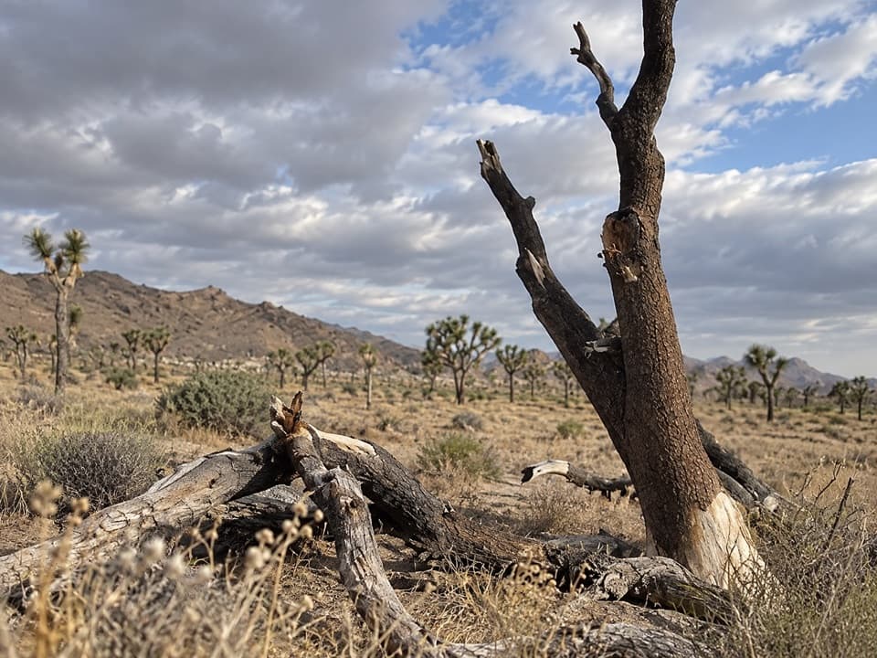
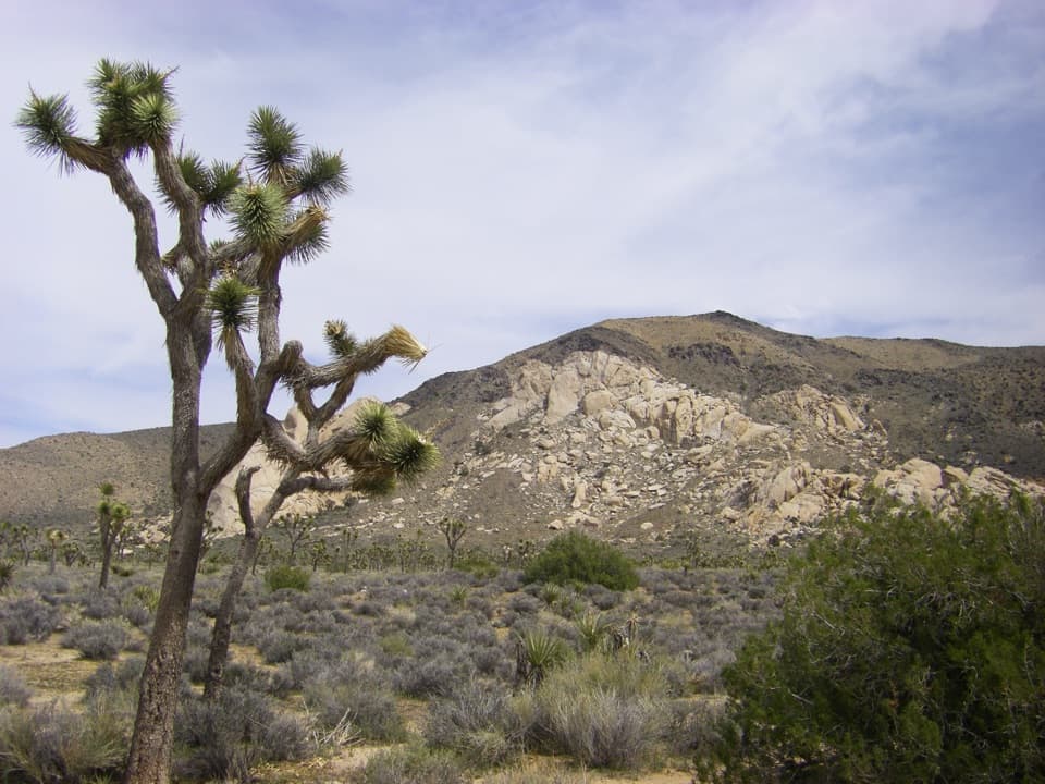
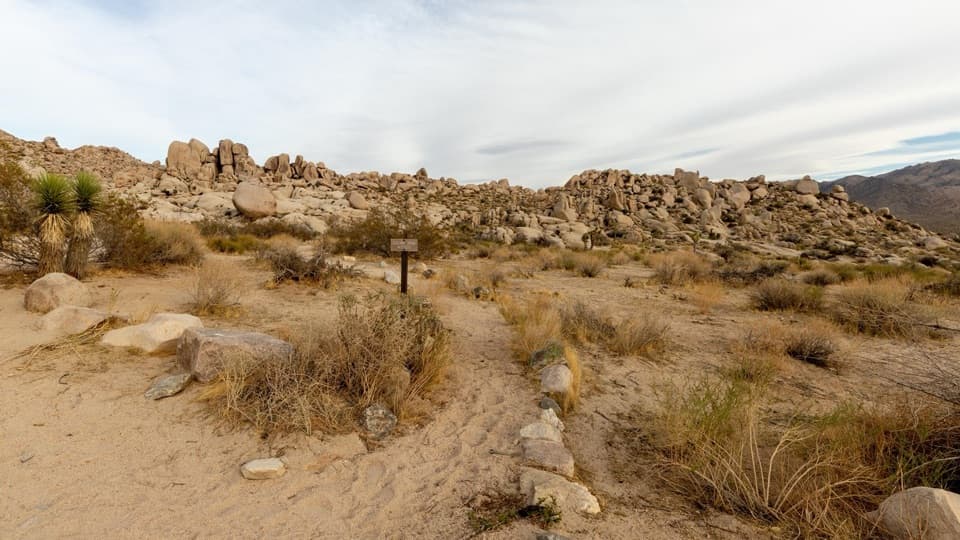
The sandy tread crosses a broad, exposed landscape of creosote, yucca, cholla and scrub, with scattered boulder clusters and only a few small, stunted Joshua trees. The grade stays steady rather than steep; the main work is the distance, sun and loose sand. The Paac parking area is at the Geology Tour Road end, before the road’s loop. No separate parking was confirmed at the other end on the California Riding and Hiking Trail, so arrange a ride if you want the one-way walk. Starting at Paac means hiking uphill toward the California Riding and Hiking Trail.

What shaped the valleyAt the Paac end, look across the flat playa.

At the Paac end, look across the flat playa. Until about 12,000 years ago, streams fed a seasonal lake here. As the climate warmed and dried, sediment from the slopes built the broad valley floor. Near canyon mouths, alluvial fans meet to form bajadas; gravel-covered bedrock slopes, called pediments, line the mountains. Desert washes stay dry much of the year but carry sediment after rain and monsoon storms.

What to noticeThe open views take in the Hexie Mountains and Ryan Mountain; early morning light brings out…

The open views take in the Hexie Mountains and Ryan Mountain; early morning light brings out their shapes. Watch the scrub for jackrabbits and reptiles. This is exposed, remote country, so bring plenty of water. Pets are prohibited on hiking trails and in the park’s backcountry.

Wildlife

Wildlife in Joshua Tree

All Joshua Tree wildlife maps

Sighting maps show where each species has been reported across Joshua Tree. Wildlife moves, so no sighting is guaranteed.

Keep exploring

Near Paac Kü̱vü̱hü̱’k Trail

See it all on the map

Trails that start nearby

Places near the trailhead

Parkwolf’s Joshua Tree ranking

Top-rated trails in Joshua Tree

All 60 trails
  1. 1Hidden Valley Nature TrailEasy · 1 mi
  2. 2Barker Dam Nature TrailEasy · 1.3 mi
  3. 3Ryan Mountain TrailChallenging · 3 mi
  4. 4Fortynine Palms Oasis TrailChallenging · 3 mi
  5. 5Lost Palms Oasis TrailChallenging · 7.5 mi
  6. 6Arch Rock TrailEasy · 1.3 mi

Take Parkwolf to Joshua Tree.

The audio tour guide for the drive, plus offline maps, trails, and wildlife heatmaps for when the signal drops.

4.7 from 8,600+ ratings

Download Parkwolf on the App StoreGet Parkwolf on Google Play