Overview
About Devil’s Punchbowl
Why stop
- A distinctive corrie lake with broad views over Killarney on the climb.
Heads up
- A steep, exposed mountain approach with rough, often wet footing.
Map
Where it is

The highest, rockiest slopes around here are a summer buffet for grizzly bears.
Killarney Tour Guide
Your drive to Devil’s Punchbowl, narrated.
Parkwolf is a GPS audio tour guide for Killarney National Park. As you drive, it chimes in with what’s ahead: hidden gems, upcoming stops, history, geology, and wildlife, right through your car’s speakers.
Recorded for this area
Torc Mountain from Torc Upper“Up ahead is the approach to Torc Upper car park, a starting point for the Torc Mountain climb.”
Plays on the road 2.8 km from Devil’s Punchbowl in the Parkwolf Killarney Tour Guide.
More stories near here in the app
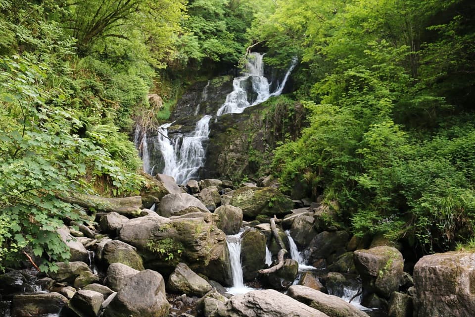
- Torc Waterfall
- Dinis and the Meeting of the Waters
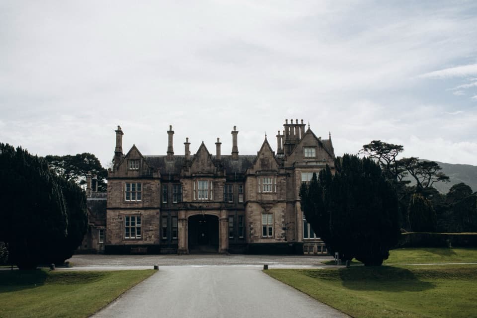
- Muckross House and Gardens
- Five Mile Bridge and Eagles’ Nest
- 18 audio storiesacross Killarney’s roads, triggered by GPS as you drive
- Wildlife heatmapsfor Red Deer, Sika Deer, Feral Goat, and 11 more
- Works offlinemaps, 29 trails, 32 places, and audio download before you lose signal
- CarPlay readysimple controls built for the drive
“Fantastic app with many points of information… It’s great to just turn on while you’re driving and it gives you an audio tour of the national Park. We love it!!!!”


Guide
More about Devil’s Punchbowl
A lake that takes a climbDevil’s Punchbowl is a high corrie lake on Mangerton Mountain’s north-west flank, about 660 m…
Devil’s Punchbowl is a high corrie lake on Mangerton Mountain’s north-west flank, about 660 m above sea level. Its dark water sits in a steep, open basin, and the climb gives you wide views back toward the Lakes of Killarney and MacGillycuddy’s Reeks. Go for a proper mountain walk and a striking change of scene; skip it if you’re looking for a roadside stop. The lake comes before the summit, so it’s a natural turn-around if you don’t want the full mountain circuit.
Getting to the bowlA worn, stony path climbs to the north-west shore.
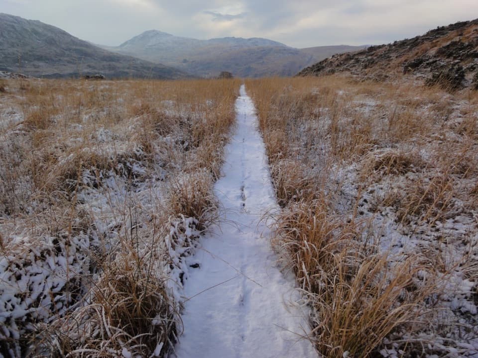
A worn, stony path climbs to the north-west shore. One route starts at the small Gortagullane parking area; another loop begins by the concrete bridge layby near Molly Darcy’s. Those are different approaches, so follow one route’s directions all the way rather than mixing their start points. The full Mangerton circuit takes about five hours; that includes the summit and other lakes, not just a visit to the Punchbowl. The upper ground is steep, rough and often boggy, with exposed sections and some low scrambling beyond the lake. Fog and wind can erase the view or make the descent harder, so treat this as a mountain walk and check the forecast and your route before setting off.
Ice made the basinThe lake lies in a glacial corrie, a rounded hollow carved into the mountainside by ice.
The lake lies in a glacial corrie, a rounded hollow carved into the mountainside by ice. Arthur Young described it as an extinct-volcano crater in the 1780s, but the steep-sided basin is a product of the Ice Age, not volcanic activity. Walking guides put the north-west tip around 660 m; another estimates the lake at about 670 m, so think of that as a rough elevation rather than an exact figure.
A name with more than one storyNobody has settled where the name came from.
Nobody has settled where the name came from. One local tale says the Devil hurled a rock into nearby Muckross Lake as O’Donoghue escaped; another links the bowl to a serpent associated with Poll an Ifrinn, or Hell’s Pool. These are folklore, not documented events. The Punchbowl was already drawing visitors by 1840, when a travel account described cold water beneath steep rock walls. The lake also once helped supply Killarney with water.
What to look at, and photographFrom the north-west shore, frame the dark water against the steep sides of the bowl so the lake…
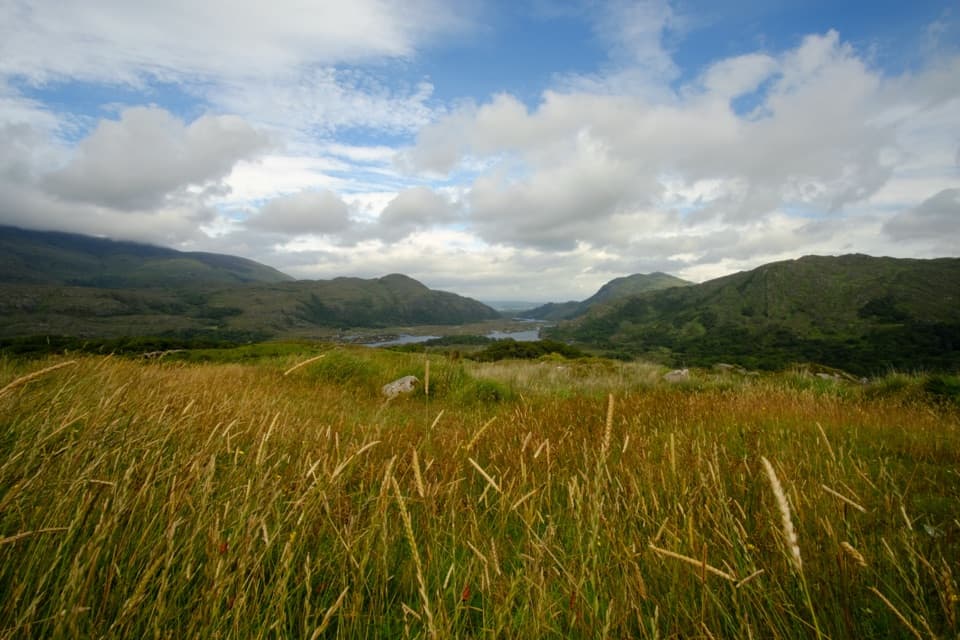
From the north-west shore, frame the dark water against the steep sides of the bowl so the lake and its setting read together. On the climb, turn around for the broader view over Killarney’s lakes and the Reeks. Clear conditions make those distant views; wind can make a long lakeside pause uncomfortable.
Wildlife
Wildlife in Killarney
 106 sightingsRed DeerMost seen around 7 AMSighting map
 209 sightingsSika DeerMost seen around 7 AMSighting map
 12 sightingsFeral GoatMost seen around 6 PMSighting map
 49 sightingsSwanMost seen around 7 AMSighting map
 48 sightingsHeronMost seen around 5 PMSighting map
 16 sightingsCormorantMost seen around 8 AMSighting map
Sighting maps show where each species has been reported across Killarney. Wildlife moves, so no sighting is guaranteed.