Overview
About Dundag Point and Beach
Why stop
- An easy lakeshore walk combines a mountain outlook with fossil-bearing limestone.
Heads up
- Reaching the beach means continuing along the walk beyond the viewpoint.
Map
Where it is

The highest, rockiest slopes around here are a summer buffet for grizzly bears.
Killarney Tour Guide
Your drive to Dundag Point and Beach, narrated.
Parkwolf is a GPS audio tour guide for Killarney National Park. As you drive, it chimes in with what’s ahead: hidden gems, upcoming stops, history, geology, and wildlife, right through your car’s speakers.
Recorded for this area
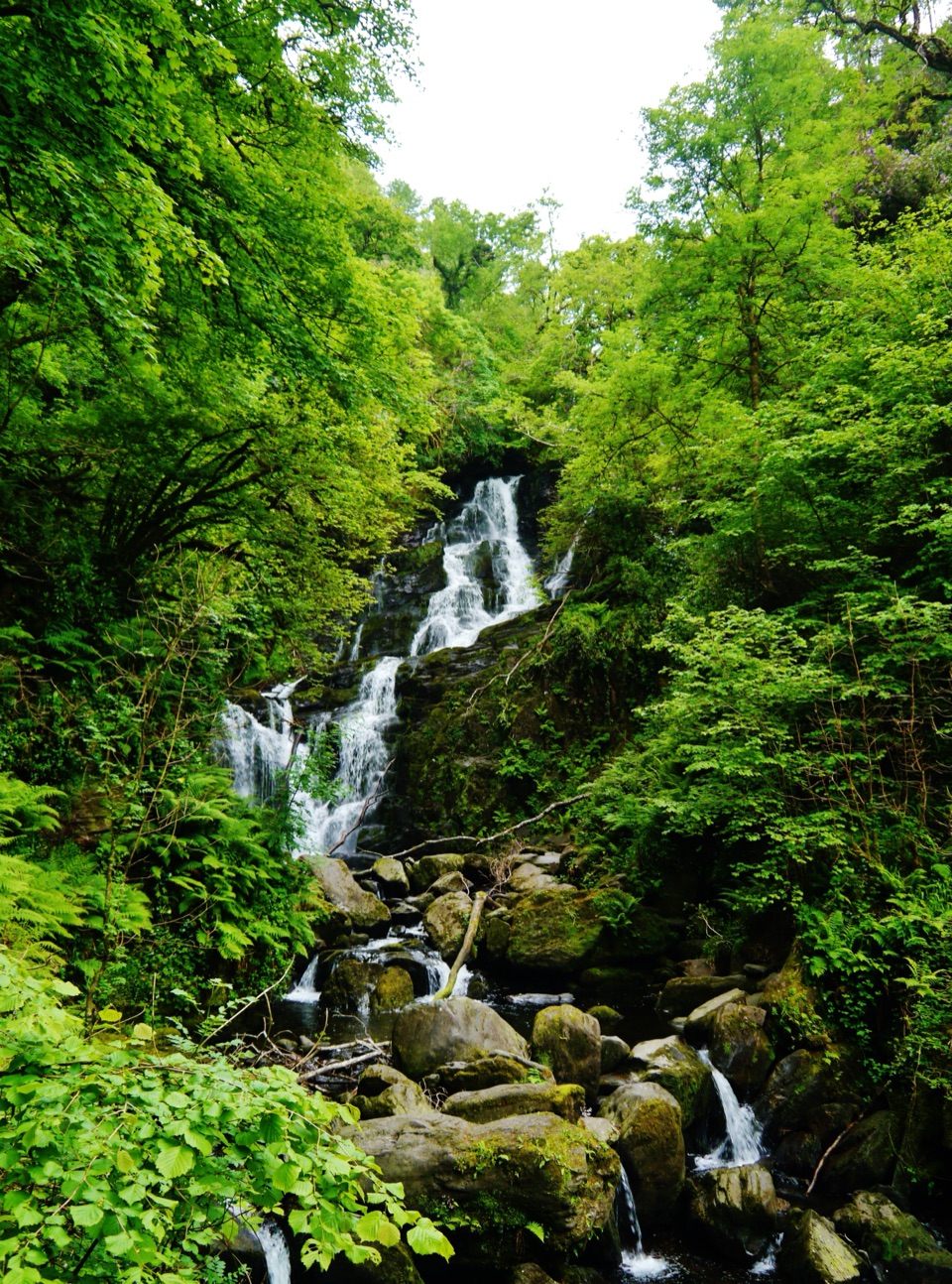
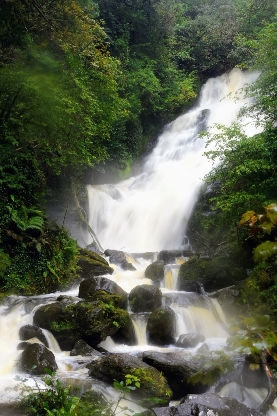
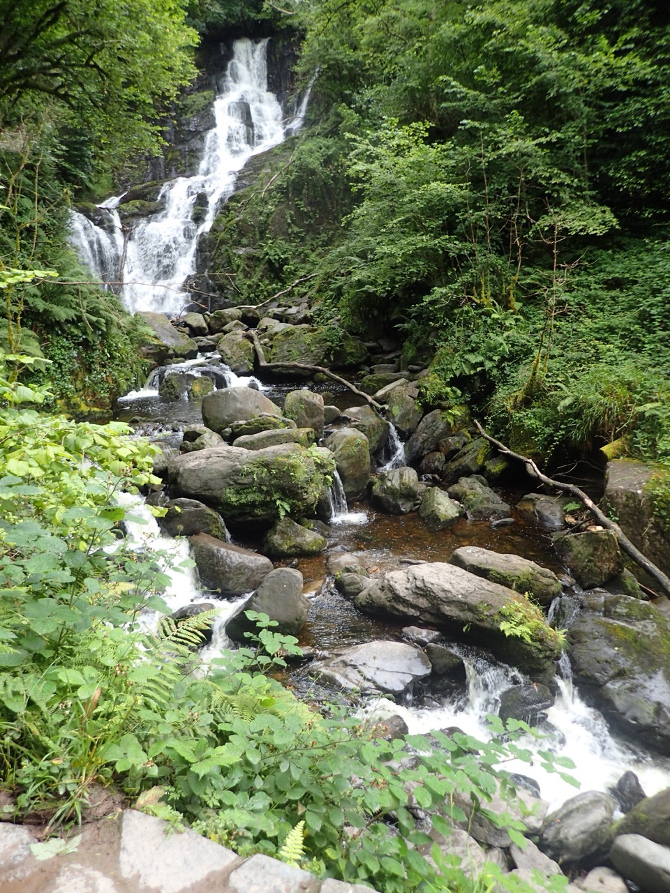
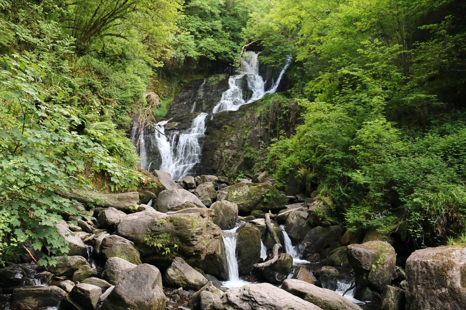
Torc Waterfall“Torc Waterfall is coming up, with a short woodland walk from the lower car park beside the main road. It's a stop I'd keep if you want a waterfall without a mountain hike.”
Plays on the road 0.8 km from Dundag Point and Beach in the Parkwolf Killarney Tour Guide.
More stories near here in the app
- Muckross House and Gardens
- Torc Mountain from Torc Upper
- Dinis and the Meeting of the Waters
- Blue Pool Woodland Trails
- 18 audio storiesacross Killarney’s roads, triggered by GPS as you drive
- Wildlife heatmapsfor Red Deer, Sika Deer, Feral Goat, and 10 more
- Works offlinemaps, 29 trails, 32 places, and audio download before you lose signal
- CarPlay readysimple controls built for the drive
“Fantastic app with many points of information… It’s great to just turn on while you’re driving and it gives you an audio tour of the national Park. We love it!!!!”


Guide
More about Dundag Point and Beach
A point and a beach in one stopDundag Point is a rocky limestone promontory on the eastern shore of Muckross Lake, with a…
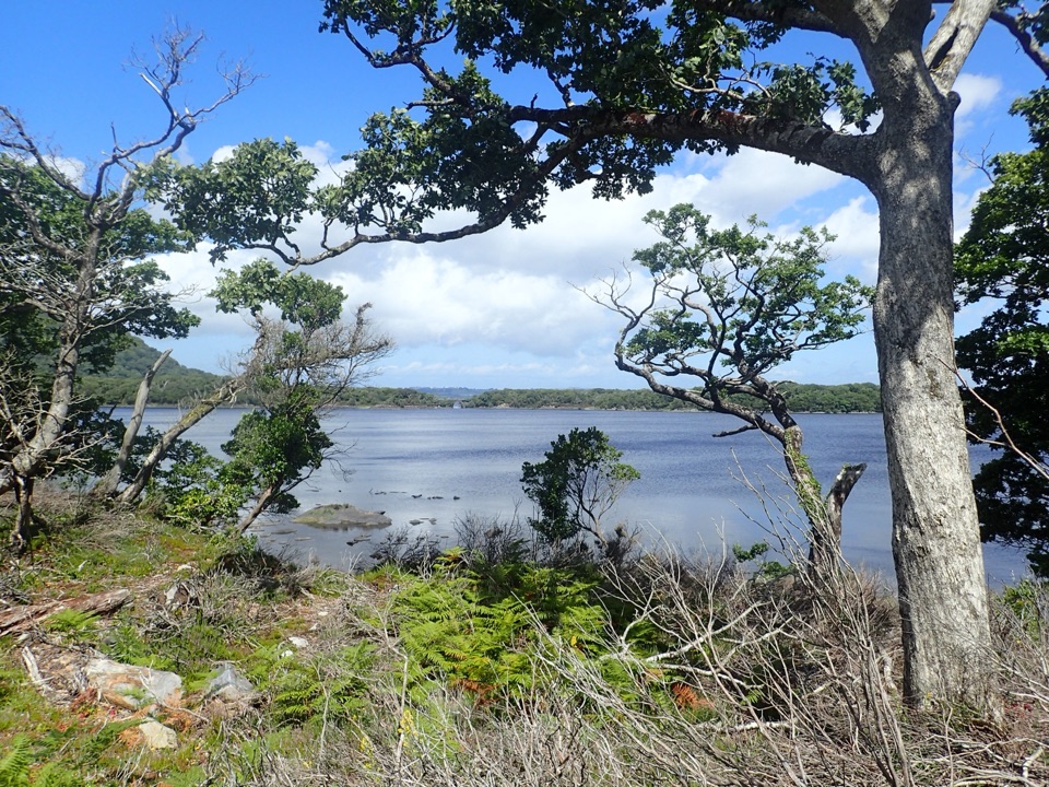
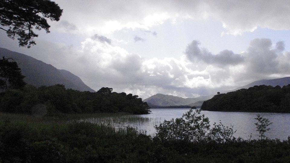
Dundag Point is a rocky limestone promontory on the eastern shore of Muckross Lake, with a secluded beach a little farther along the same walk. The point opens onto wide mountain views, and the beach sits a little farther along the walk. I’d keep it on your list if you enjoy a short lakeside stroll and want a reason to look closely at the rock.
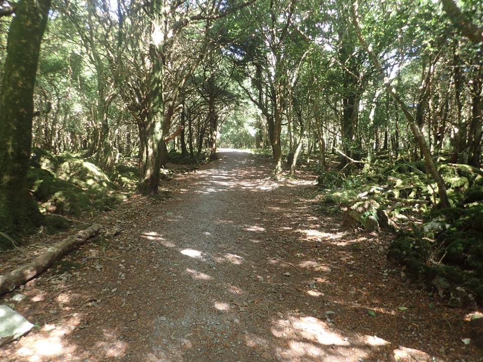
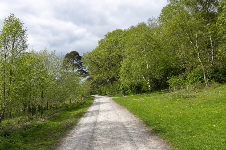
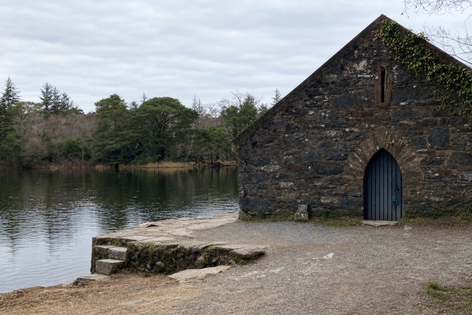
The Old Boathouse Trail is listed as an easy, mostly flat 1 km walk with about 10 m of ascent, running from the road to Torc beyond Mossy Woods to the Old Boathouse. Dundag Point and the beach are along that route: follow the stone marker and continue past the point to reach the shore. Treat it as a shoreline walk and view; swimming conditions and public facilities at the beach aren’t confirmed.
Limestone, caves and sea liliesThe point is made of Carboniferous limestone and supports a patch of natural yew woodland.
The point is made of Carboniferous limestone and supports a patch of natural yew woodland. As you walk down to the beach, look to the right for caves in the limestone. Farther along the shore, smooth wave-washed outcrops hold fossils of crinoid stems, the remains of sea lilies from when the limestone was forming.
A boulder carried by iceA sandstone boulder beside the trail came from the south, carried across the boundary between…
A sandstone boulder beside the trail came from the south, carried across the boundary between sandstone and limestone by ice. It was left behind as the ice melted, a clear clue to how far the ice moved across different rock here.
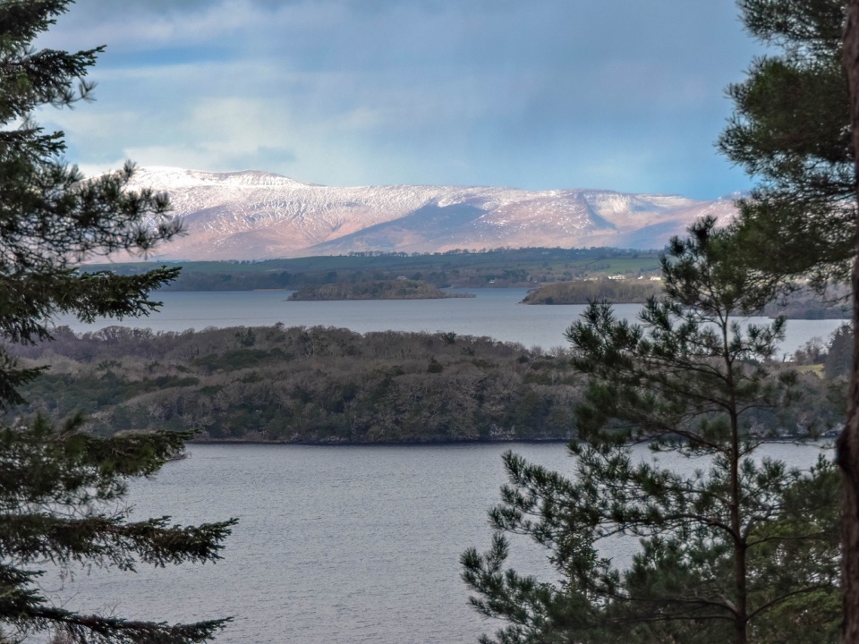
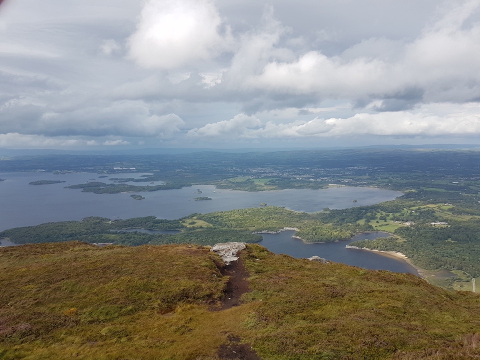
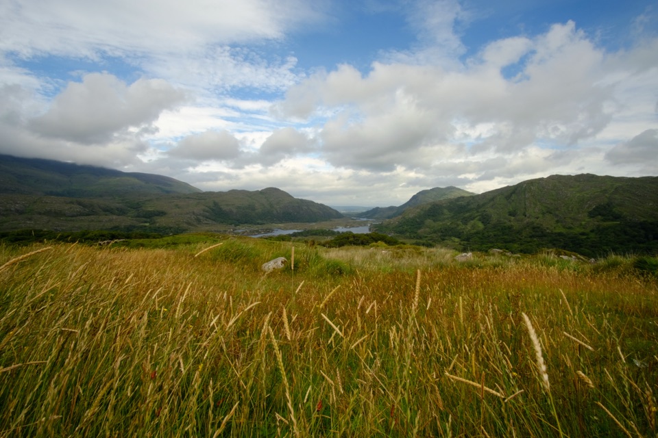
Take in the viewFrom the point, look out toward the mountains that ring Killarney’s lakes.
From the point, look out toward the mountains that ring Killarney’s lakes. For a photo, keep some water and the wooded banks in the foreground so the inlet and distant ridges read together; the beach is farther along the path, not right at the viewpoint.
Wildlife
Wildlife in Killarney
 104 sightingsRed DeerMost seen around 7 AMSighting map
 207 sightingsSika DeerMost seen around 7 AMSighting map
 12 sightingsFeral GoatMost seen around 6 PMSighting map
 49 sightingsSwanMost seen around 7 AMSighting map
 48 sightingsHeronMost seen around 5 PMSighting map
 15 sightingsCormorantMost seen around 8 AMSighting map
Sighting maps show where each species has been reported across Killarney. Wildlife moves, so no sighting is guaranteed.