Overview
About Torc Mountain Summit
Why stop
- A maintained stone-and-boardwalk route reaches the summit.
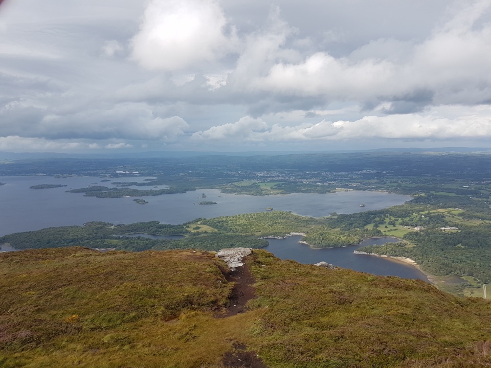
- The panorama spans lakes, islands, valleys and mountain ranges.
Heads up
- A real uphill walk of roughly 7–8 km return; cloud can hide the view.
Map
Where it is

The highest, rockiest slopes around here are a summer buffet for grizzly bears.
Killarney Tour Guide
Your drive to Torc Mountain Summit, narrated.
Parkwolf is a GPS audio tour guide for Killarney National Park. As you drive, it chimes in with what’s ahead: hidden gems, upcoming stops, history, geology, and wildlife, right through your car’s speakers.
Recorded for this place
Torc Mountain from Torc Upper“Up ahead is the approach to Torc Upper car park, a starting point for the Torc Mountain climb.”
Plays as you drive up to Torc Mountain Summit in the Parkwolf Killarney Tour Guide.
More stories near here in the app
- Dinis and the Meeting of the Waters
- Torc Waterfall
- Five Mile Bridge and Eagles’ Nest
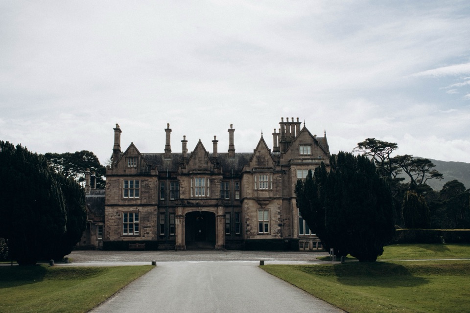
- Muckross House and Gardens
- 18 audio storiesacross Killarney’s roads, triggered by GPS as you drive
- Wildlife heatmapsfor Red Deer, Sika Deer, Feral Goat, and 10 more
- Works offlinemaps, 29 trails, 32 places, and audio download before you lose signal
- CarPlay readysimple controls built for the drive
“Fantastic app with many points of information… It’s great to just turn on while you’re driving and it gives you an audio tour of the national Park. We love it!!!!”


Guide
More about Torc Mountain Summit
A summit walk, not a waterfall stopTorc Mountain Summit is the 535 m top of Torc Mountain, above the Lakes of Killarney.
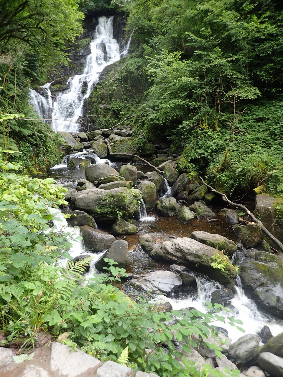
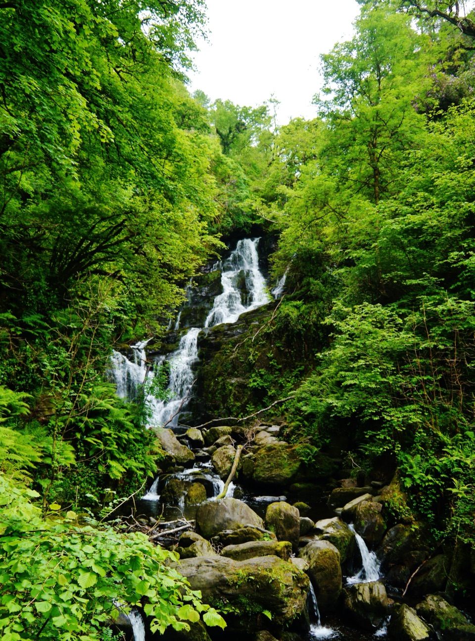
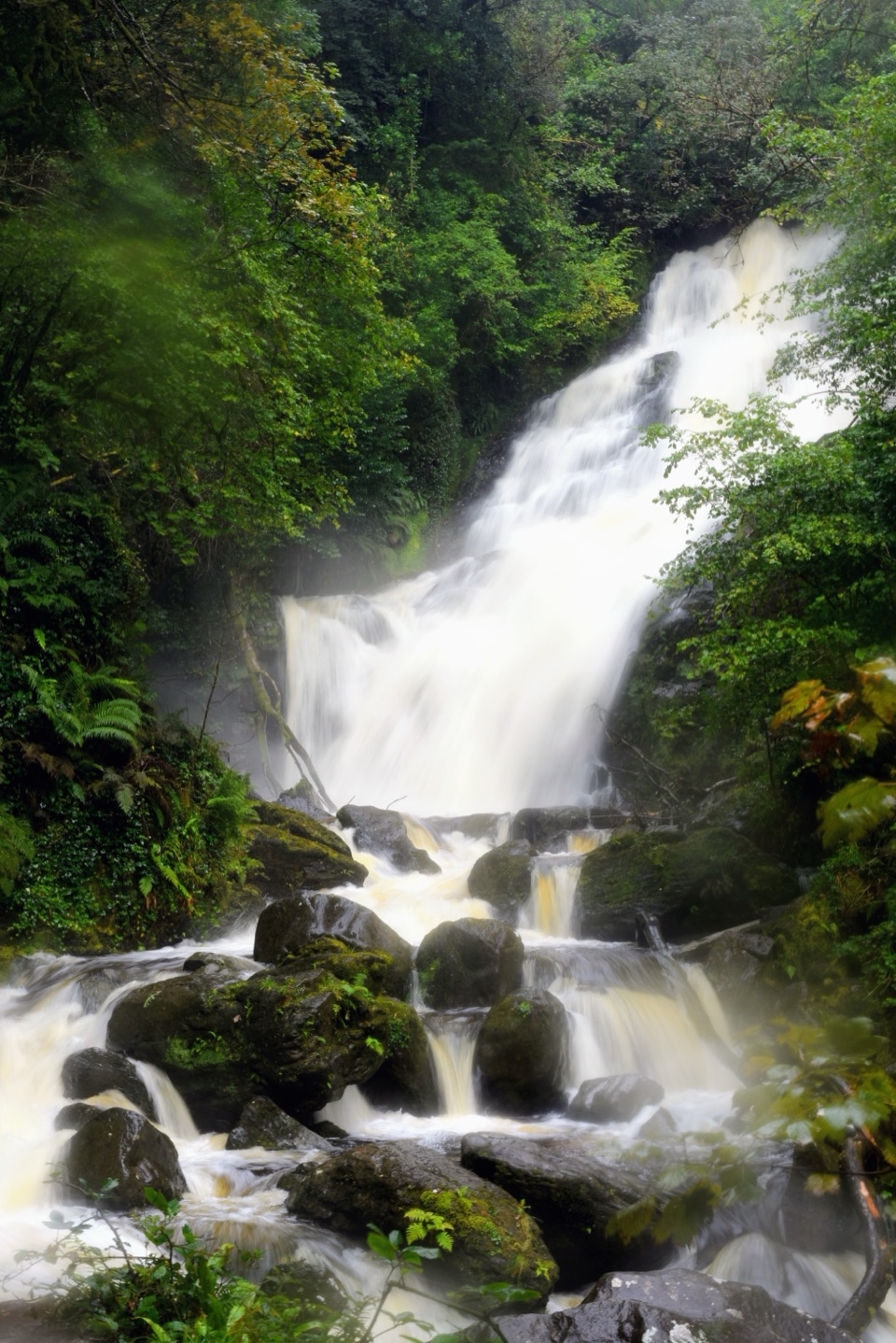
Torc Mountain Summit is the 535 m top of Torc Mountain, above the Lakes of Killarney. The open summit is known for a broad view over the lakes and surrounding mountains. Make time for the top as its own hike: the short approach from the car park off Old Kenmare Road is about 7.2 km return and roughly 2–2.5 hours. Starts around Torc Waterfall are about 7.5–8 km and can take closer to three hours. The waterfall is a separate lower stop, not the summit.
What the climb is likeFrom the Old Kenmare Road car park, the route follows an old forest track for about 1.
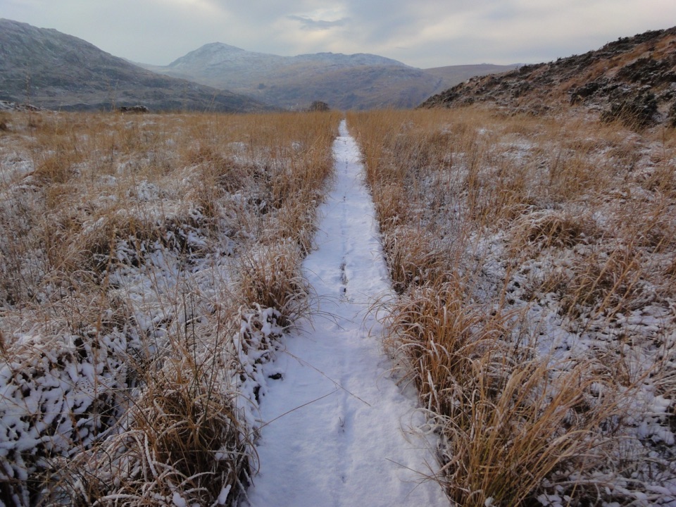
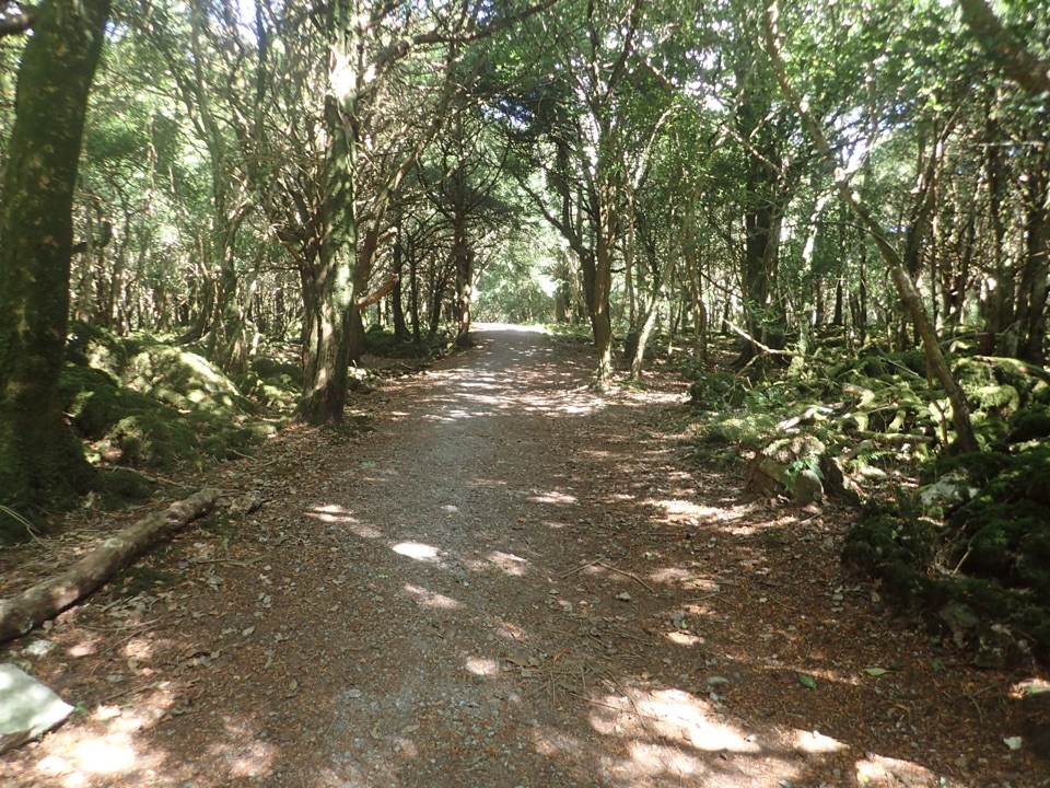
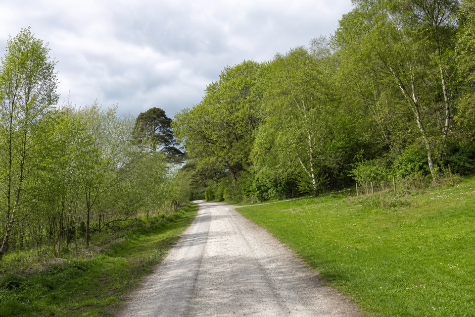
From the Old Kenmare Road car park, the route follows an old forest track for about 1.7 km before the ascent. The path changes from stone to timber sleepers and boardwalk higher up. The built route is easier to follow once you reach the mountain, though visitors report that signs at the junctions from the park walkways can be confusing. Starting at the lower waterfall car park adds roughly 100 steps beside the falls.
The view from the topOn a clear day, the summit looks across the Lakes of Killarney, the Black Valley and…
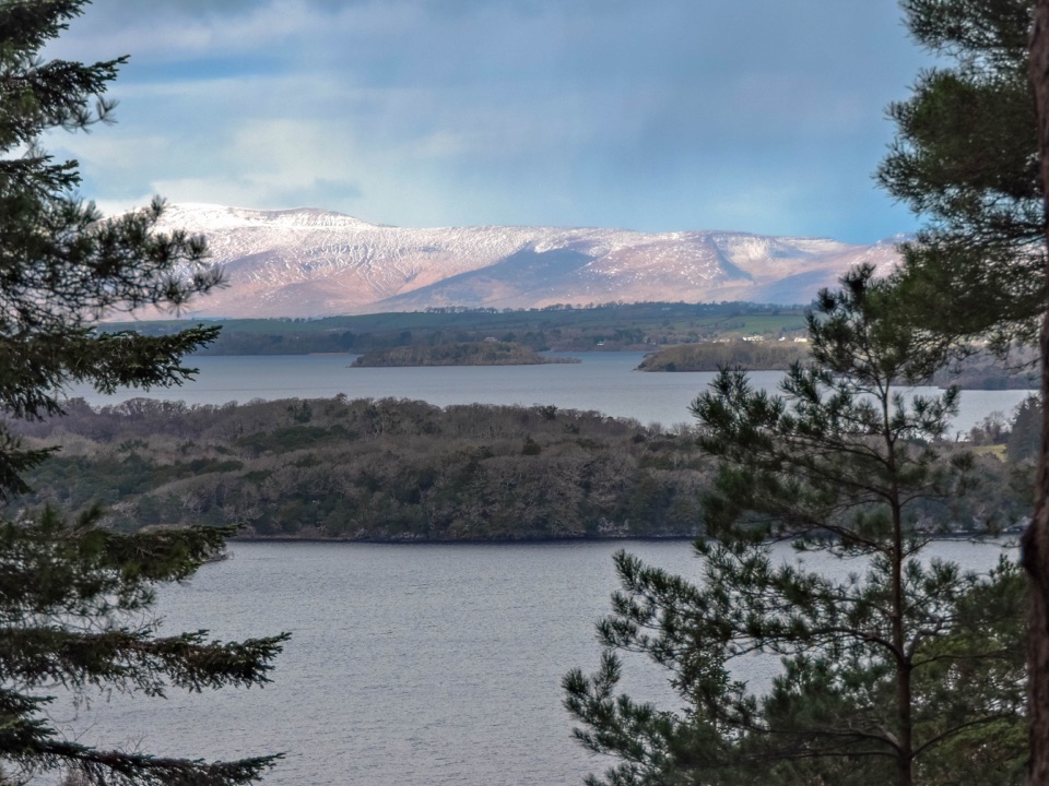
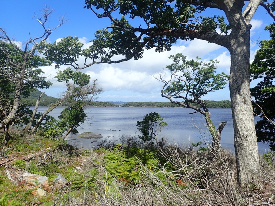
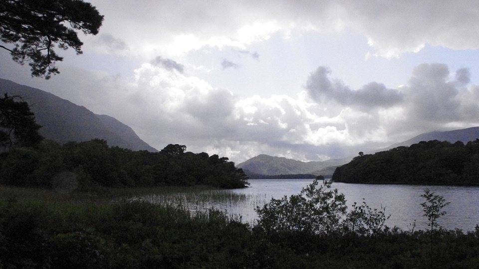
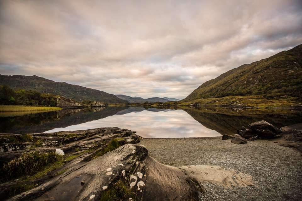
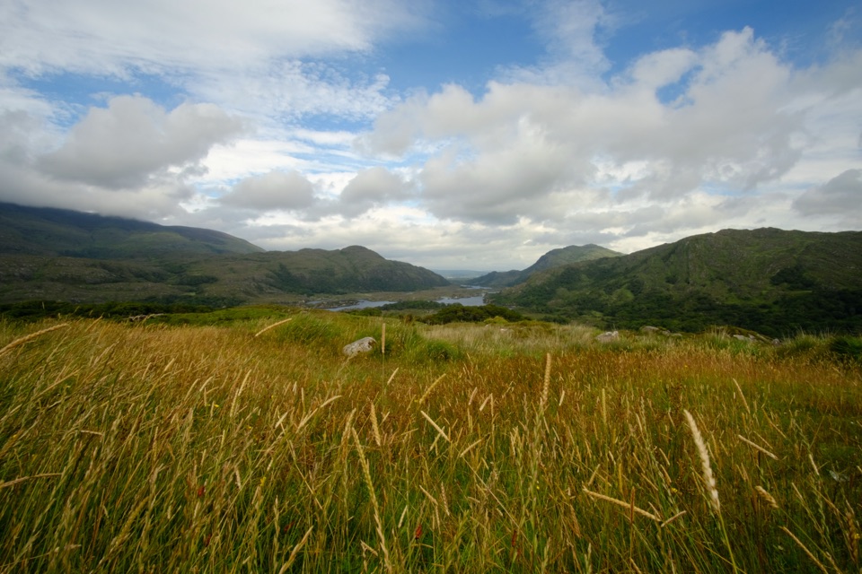
On a clear day, the summit looks across the Lakes of Killarney, the Black Valley and MacGillycuddy’s Reeks; Muckross House and grounds sit in the wider view, and the Dingle Peninsula may appear on the far horizon. Cloud can hide the panorama, so this climb is best when the top is clear. For a phone photo, keep some of the rough summit ground in the foreground and frame across the wooded islands; it gives the wide view a sense of scale.
Pick your routeThe Old Kenmare Road approach is the shorter, more direct way up.
The Old Kenmare Road approach is the shorter, more direct way up. A longer option starts near the N71, follows Cardiac Hill, then descends past Torc Waterfall; it is about 14 km and 4–5 hours and crosses the busy N71. Treat that as a separate longer outing, not a quick extension of the waterfall stop.
When the weather turnsThe summit is open and exposed.
The summit is open and exposed. Visitors mention wind, rain and fog, and the long-distance view is the first thing to go in cloud. If the panorama is your reason for climbing, wait for a clearer window. The park lists toilets near the lower Torc Waterfall car park; they are below the summit route, not facilities at the top.
The boar in the nameTorc’s Irish name, Sliabh Torc, means “mountain of the wild boar.”
Torc’s Irish name, Sliabh Torc, means “mountain of the wild boar.” Local folklore gives the name more than one story: one says Fionn MacCumhaill killed a magical boar on the mountain; another tells of a man cursed to become a boar who vanished into a fiery opening on nearby Mangerton. Those are legends, not recorded history.
Wildlife
Wildlife in Killarney
 104 sightingsRed DeerMost seen around 7 AMSighting map
 207 sightingsSika DeerMost seen around 7 AMSighting map
 12 sightingsFeral GoatMost seen around 6 PMSighting map
 49 sightingsSwanMost seen around 7 AMSighting map
 48 sightingsHeronMost seen around 5 PMSighting map
 15 sightingsCormorantMost seen around 8 AMSighting map
Sighting maps show where each species has been reported across Killarney. Wildlife moves, so no sighting is guaranteed.