Old Kenmare Road Walk in Killarney National Park

#6 of 29 trails in Killarney

Killarney National Park, KY

Old Kenmare Road Walk

A riverside old road opens into bog boardwalk and quiet uplands.

Photo: Wikimedia Commons
Length
8km
Time
2.5hr
Elev. change
195m
Difficulty
Challenging
  • Dogs allowed
  • High point 294 m

Hear the audio tour

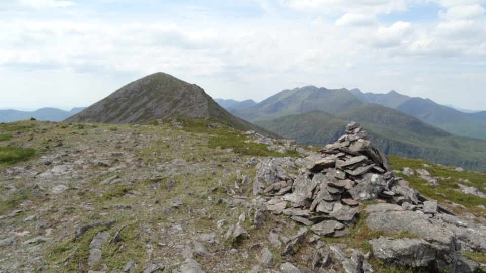
Torc Mountain from Torc Upper

Overview

About Old Kenmare Road Walk

Why go

  • A rare mix of river woods, bog boardwalk and open upland views.
  • The 1815 rock inscription gives the old road a detail worth watching for.

Heads up

  • Point-to-point logistics require a ride from the N71 end.
  • Boggy ground and stepping stones can slow or stop the walk after rain.
Old Kenmare Road Walk is an 8 km (5 mi) one-way point-to-point hike from Torc Upper car park to Derrycunnihy Church on the N71, near Incheens. It follows the Owengarriff River through woodland, then climbs into open upland and bog boardwalk. Give it about 2.5 hours. The park lists 7 km for its Torc Upper–Incheens walk but doesn’t spell out the distance convention; the mapped line to the church is closer to 8 km. Use 8 km to plan for that access, and confirm your pickup point before you set off. This is a rewarding longer walk, not an easy stroll.
Parkwolf’s verdictIs this the walk for you?

Map & elevation

The route

Loading the Killarney map
Full map
Elevation99–294 m
TrailheadTorc Upper car park52.00118, -9.50489
Keep this map with you offline in the Parkwolf app

Plan your hike

Before you go

Parking

Start at Torc Upper car park, separate from the main Torc Waterfall lot beside the N71. The one-way route ends by Derrycunnihy Church on the N71 near Incheens, so arrange transport back before starting. Car-park size, fee and facilities were not confirmed.

Safety

Stepping-stone crossings can become difficult or impassable after heavy rain. Expect muddy, uneven ground and exposed upland; winter flooding is a known pattern.

A park ranger sits on a dash-mounted phone, talking, as Parkwolf’s Tour Guide plays “Army Cutworm Moths: A Grizzly Bear Buffet” on Grand Loop Road below Dunraven Pass in Yellowstone
Parkwolf Tour GuideThe highest, rockiest slopes around here are a summer buffet for grizzly bears.

Killarney Tour Guide

Your drive to Old Kenmare Road Walk, narrated.

Parkwolf is a GPS audio tour guide for Killarney National Park. As you drive, it chimes in with what’s ahead: hidden gems, upcoming stops, history, geology, and wildlife, right through your car’s speakers.

Recorded for this trailhead

Torc Mountain from Torc Upper
0:00 / 0:26
“Up ahead is the approach to Torc Upper car park, a starting point for the Torc Mountain climb.”

Plays as you drive up to this trailhead in the Parkwolf Killarney Tour Guide.

More stories near here in the app

  • Torc Waterfall
  • Dinis and the Meeting of the Waters
  • Muckross House and Gardens
  • Blue Pool Woodland Trails
  • 18 audio storiesacross Killarney’s roads, triggered by GPS as you drive
  • Wildlife heatmapsfor Red Deer, Sika Deer, Feral Goat, and 10 more
  • Works offlinemaps, 29 trails, 32 places, and audio download before you lose signal
  • CarPlay readysimple controls built for the drive
★★★★★
“Fantastic app with many points of information… It’s great to just turn on while you’re driving and it gives you an audio tour of the national Park. We love it!!!!”
JMJamesApp Store review
Download Parkwolf on the App StoreGet Parkwolf on Google Play

4.7 from 8,600+ ratings

Trail guide

Hiking Old Kenmare Road Walk

Sort out the finish firstStart at Torc Upper car park, which is separate from the better-known Torc Waterfall lot beside…

Start at Torc Upper car park, which is separate from the better-known Torc Waterfall lot beside the N71. This route doesn’t loop back: it finishes by Derrycunnihy Church at the N71. Arrange a ride back to your car before starting, and make sure everyone knows which car park you mean. No food or water facilities were identified along the walk, so take what you’ll need. The route continues west toward Kenmare as part of the Kerry Way, but that longer journey is a different outing with different transport needs.

River woods, then open bogThe first stretch stays close to the Owengarriff River.

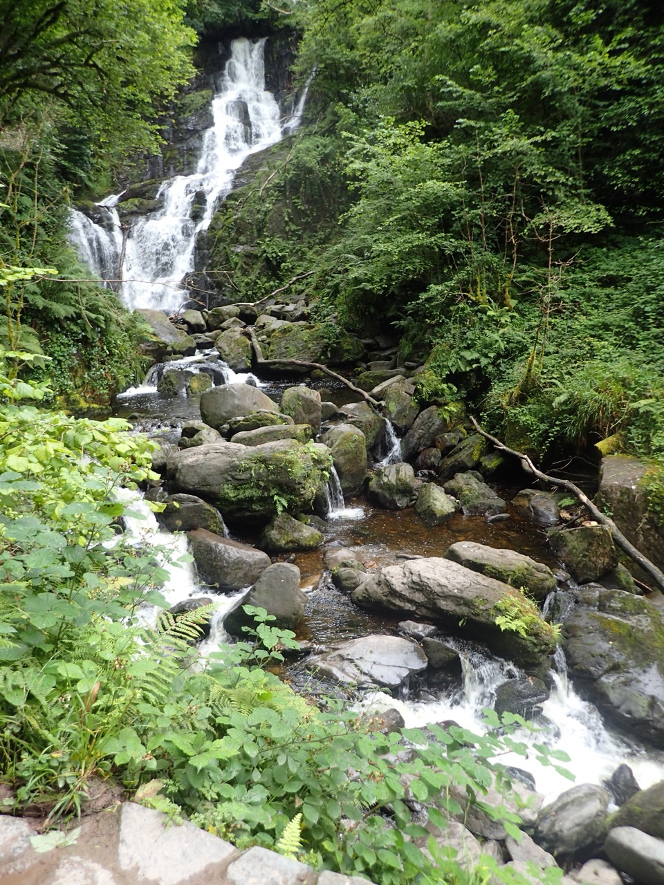
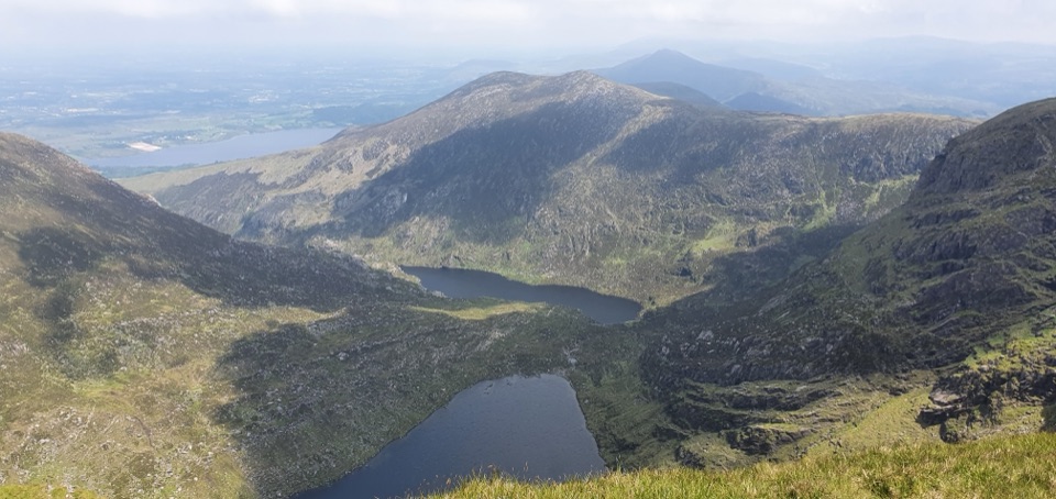
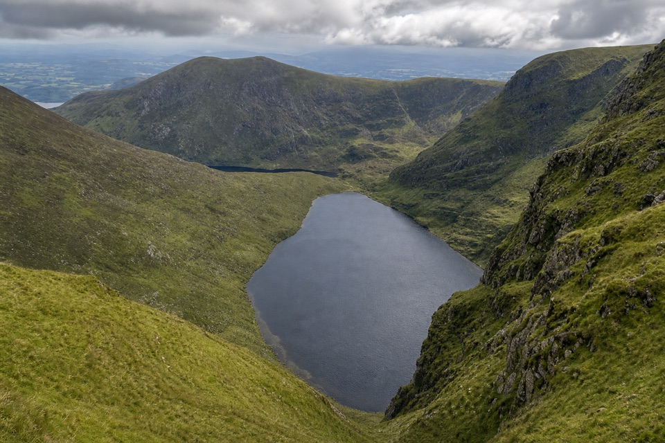
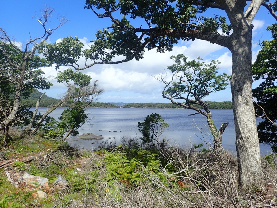
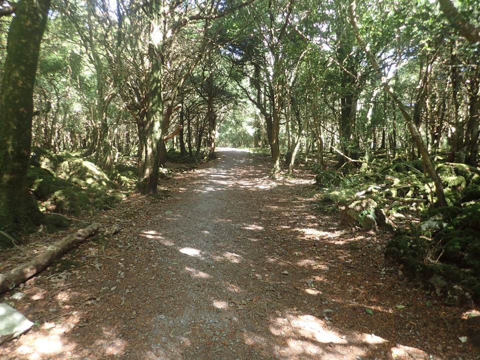
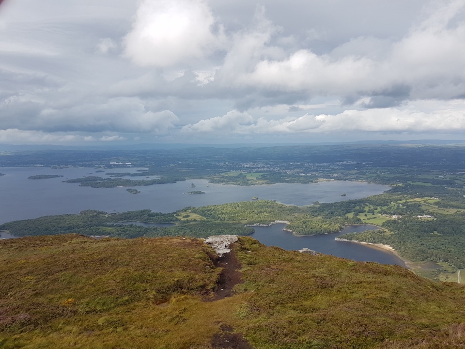
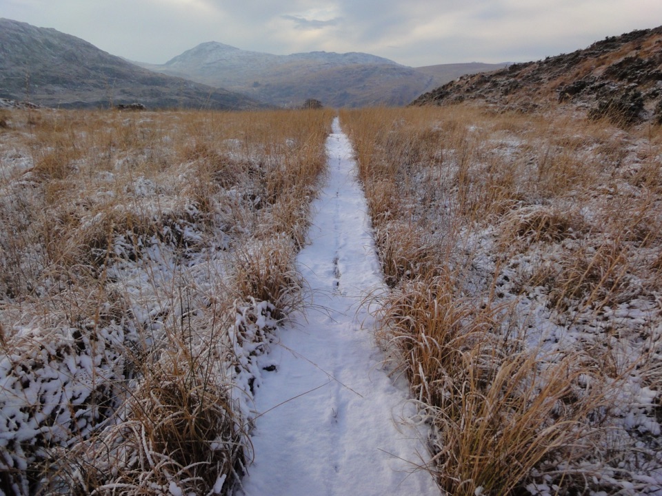
The first stretch stays close to the Owengarriff River. After the wooden bridge, take the immediate left; the woodland path has a few short, sharp climbs. As the trees thin, Torc’s southern face rises to your right and the river valley opens below on your left. The route then crosses wet upland on boardwalk, with muddy, uneven ground between the firmer sections. Cores Cascade sits in a flat green opening; it can be a trickle in drier weather. Farther on, stony paths and small wooden bridges lead through oak woodland toward the road. The park describes river stepping stones on this walk, so expect to watch your footing near the water.

Look for the old road’s marksThis was once the main road between Killarney and Kenmare, known as the Glanerought Road and…

This was once the main road between Killarney and Kenmare, known as the Glanerought Road and built by subscription in the 18th century. It later became a neglected bridle path, and old field boundaries and abandoned settlement remains still hint at life along the route. About 3.5 km from the start, look on the right for a rock slab scratched with an 1815 inscription, read as “James Neill Tippy Rgt.” The identity behind it is uncertain, so don’t take the popular Waterloo connection as fact.

Water, dogs and the viewThe open section gives you a good frame of Torc above the river valley; include some of the…

The open section gives you a good frame of Torc above the river valley; include some of the valley rather than photographing only the hillside. Dogs are allowed but must stay on lead. The boggy tread can be slow after wet weather, and stepping-stone crossings can become difficult or impassable after heavy rain. Winter flooding is a known pattern here, so check conditions before committing to the one-way walk.

Wildlife

Wildlife in Killarney

All Killarney wildlife maps

Sighting maps show where each species has been reported across Killarney. Wildlife moves, so no sighting is guaranteed.

Keep exploring

Near Old Kenmare Road Walk

See it all on the map

Trails that start nearby

Places near the trailhead

Parkwolf’s Killarney ranking

Top-rated trails in Killarney

All 29 trails
  1. 1Muckross Lake LoopModerate · 10 km
  2. 2Muckross House to Torc Waterfall LoopModerate · 6 km
  3. 3Tomies Wood LoopModerate · 6.5 km
  4. 4Mangerton Mountain via Devil’s Punchbowl LoopChallenging · 9.7 km
  5. 5Tomies and Purple Mountain LoopChallenging · 15.6 km
  6. 7Cardiac Hill LoopChallenging · 4.5 km

Take Parkwolf to Killarney.

The audio tour guide for the drive, plus offline maps, trails, and wildlife heatmaps for when the signal drops.

4.7 from 8,600+ ratings

Download Parkwolf on the App StoreGet Parkwolf on Google Play