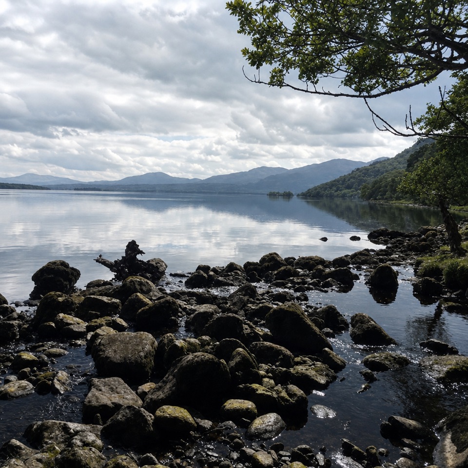
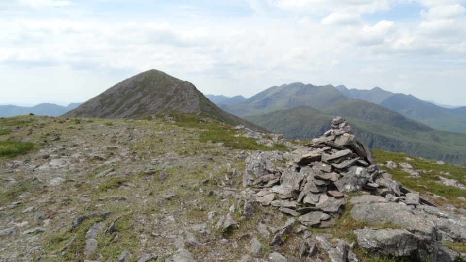
Parking
Use the small N71 car park beyond the main Torc Waterfall lot. Cross the busy road and follow the marked path to the Cardiac Hill steps. The waterfall branch finishes at the main lot and adds distance if you need to return.
#7 of 29 trails in Killarney
Killarney National Park, KY
About 1,250 steep steps buy you a big lake view.
Overview
Map & elevation
Plan your hike

The highest, rockiest slopes around here are a summer buffet for grizzly bears.
Killarney Tour Guide
Parkwolf is a GPS audio tour guide for Killarney National Park. As you drive, it chimes in with what’s ahead: hidden gems, upcoming stops, history, geology, and wildlife, right through your car’s speakers.
Recorded for this trailhead
Dinis and the Meeting of the Waters“You're nearing the walking access for Dinis and the Meeting of the Waters, where Killarney's three lakes come together. You'll need to leave the car and walk in to see the channels.”
Plays as you drive up to this trailhead in the Parkwolf Killarney Tour Guide.
More stories near here in the app
“Fantastic app with many points of information… It’s great to just turn on while you’re driving and it gives you an audio tour of the national Park. We love it!!!!”


Trail guide
Cardiac Hill Loop is a 4.5 km (2.8 mile) circuit on Torc’s north side. From the N71 access near the small Cardiac Hill car park, you climb the famous steps, traverse below Torc’s summit, then return through the woods on a gravel path. Allow about 1.5 to 2 hours. The climb is the point: choose this for a short, hard workout with lake views, not as a route to Torc’s summit. If steep stairs or a long stepped descent are a poor fit, save your time for one of Killarney’s gentler lake walks.
The stone staircase rises about 210 metres in roughly 380 metres. Local estimates put it at around 1,250 steps. There are a few short zigzags, but the grade stays steep and the steps keep coming. It feels much tougher than the mileage suggests, and wet stone can be slippery. Take your time and don’t set a pace just because the trail is short.
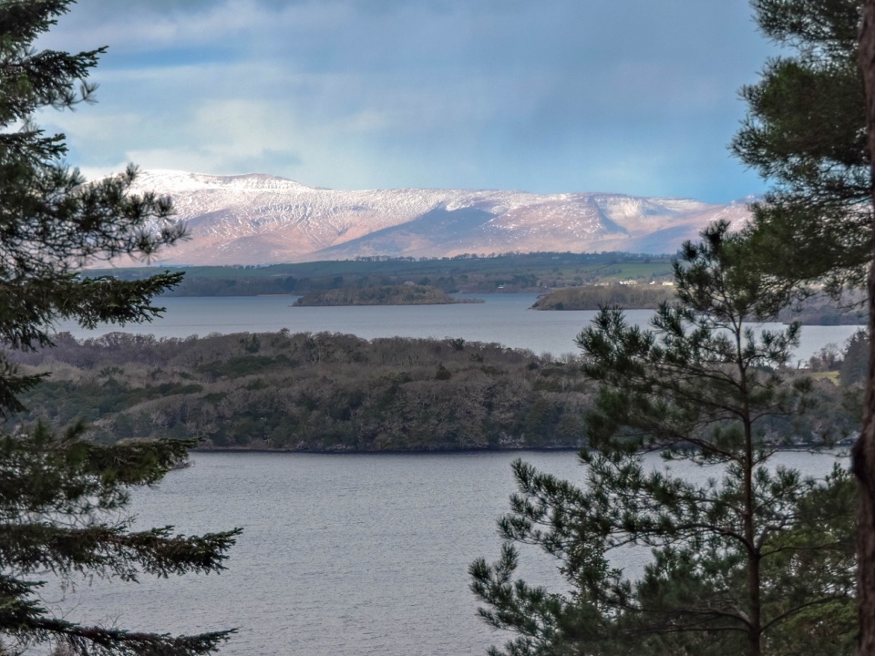
When the steep climb eases, the path levels along Torc’s northern face. The mountain slope is on one side; gaps in the trees open north across the Lakes of Killarney, the town and the MacGillycuddy’s Reeks on the other. Small lookouts and a shelter give you places to stop without blocking the path. At a lookout, frame a wooded island against the water with the Reeks behind it; that layered view shows how much of the park opens up from the slope. This circuit stays below Torc’s 535-metre summit, so don’t expect the summit route’s final climb or its exact viewpoint.
The route bends down through woodland on another stretch of steps, then reaches a broader gravel and forest path. At the junction, take the gravel descent back toward the N71 starting access to close the loop. The branch toward Torc Waterfall instead reaches the main waterfall car park and adds distance if you need to return to your starting point. It’s a good extension if the waterfall is part of your day, but it isn’t the short loop described here. Some published distances differ because the starting access and that waterfall branch are not always treated the same way.
The route is also called Cardiac Steps or the Red Loop. The nickname is a fair warning about the first climb, and this is the part people remember. The route was laid out a few decades ago; the local nickname has stuck because the climb is so steep. Rhododendron grows along the wooded hillside; cut plants at the trail edge show the ongoing effort to control it.
Use the small N71 car park beyond the main Torc Waterfall lot, cross the busy road carefully, then follow the marked path to the steps sign. The park welcomes dogs, but they must stay on a lead. No trail-specific drinking-water or toilet stop is confirmed along this loop, so bring what you need before leaving the car park.
Wildlife
 104 sightingsRed DeerMost seen around 7 AMSighting map
 207 sightingsSika DeerMost seen around 7 AMSighting map
 12 sightingsFeral GoatMost seen around 6 PMSighting map
 49 sightingsSwanMost seen around 7 AMSighting map
 48 sightingsHeronMost seen around 5 PMSighting map
 15 sightingsCormorantMost seen around 8 AMSighting map
Sighting maps show where each species has been reported across Killarney. Wildlife moves, so no sighting is guaranteed.
Keep exploring
 ChallengingOld Kenmare Road Walk8 km · 2.5 hr · 1.8 km awayA riverside old road opens into bog boardwalk and quiet uplands.
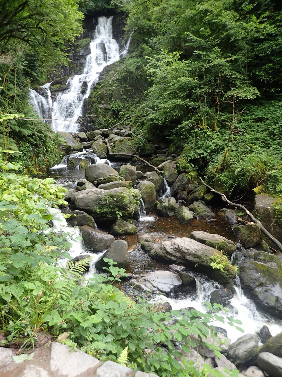 ModerateTorc Waterfall Yellow Trail2.9 km · 1.3 hr · 1.8 km awayA short waterfall circuit with real climbing through Killarney woods.
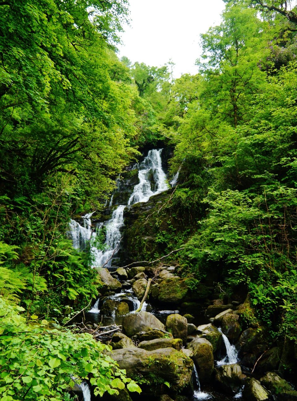 EasyDundag to Torc Path3.2 km · 1.3 hr · 1.9 km awayLake views and deer on an easy walk to Torc Waterfall.
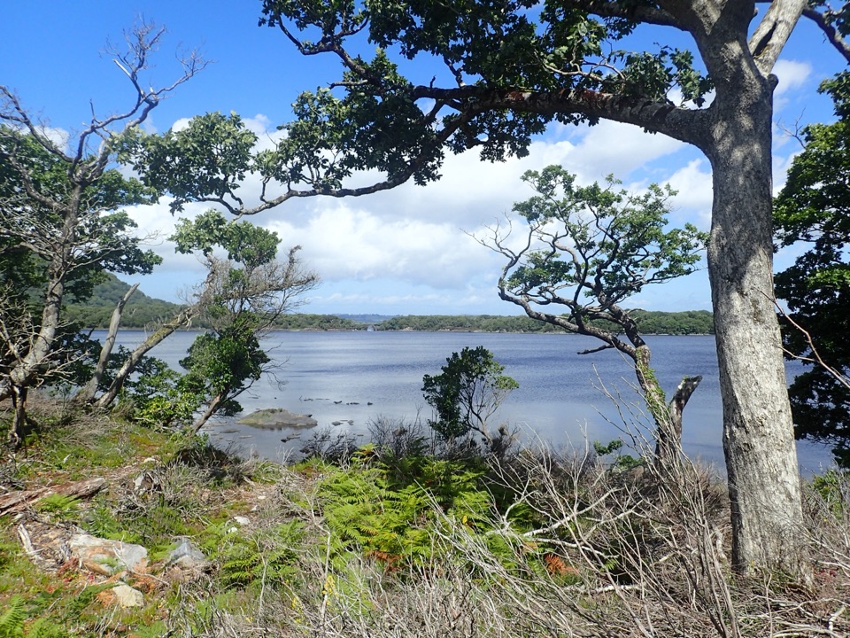 ModerateMuckross Lake Loop10 km · 4 hr · 2.3 km awayA lake loop through yew woods to a historic cottage.
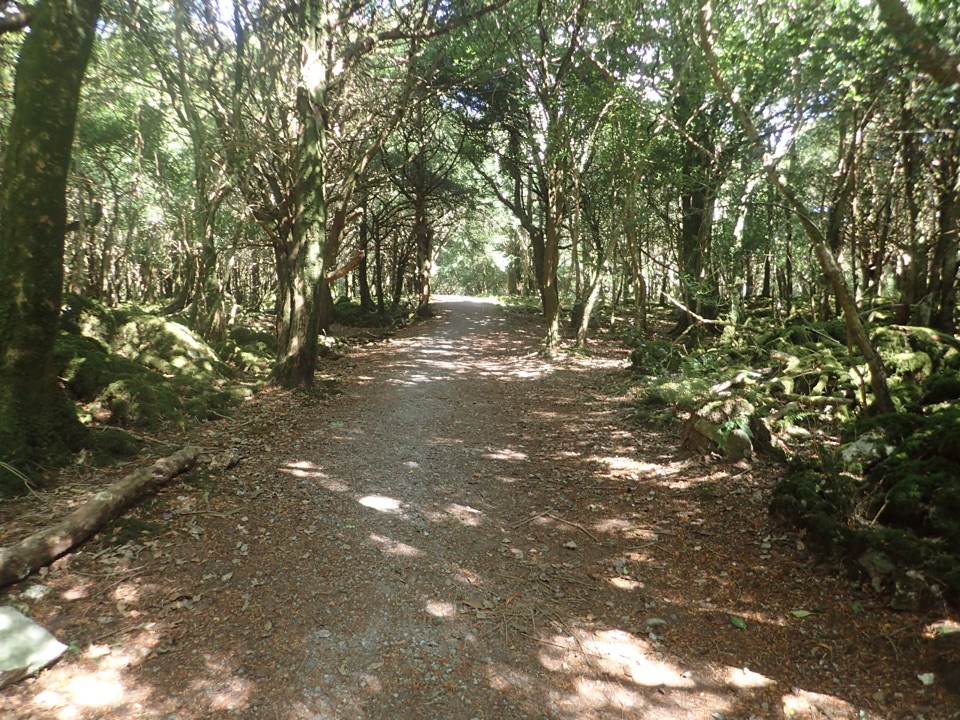 ModerateArthur Young’s Walk5.6 km · 2.3 hr · 2.3 km awayA mostly flat woodland walk between two lakes and rare yews.
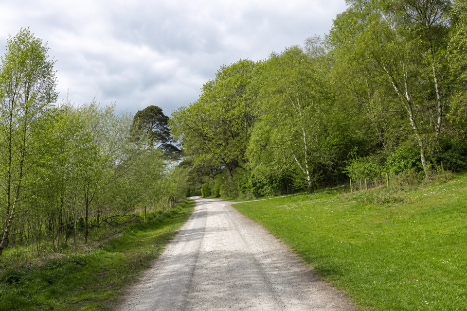 ModerateMossy Woods Walk2 km · 45 min · 2.3 km awayA short woodland path to views across Muckross Lake.
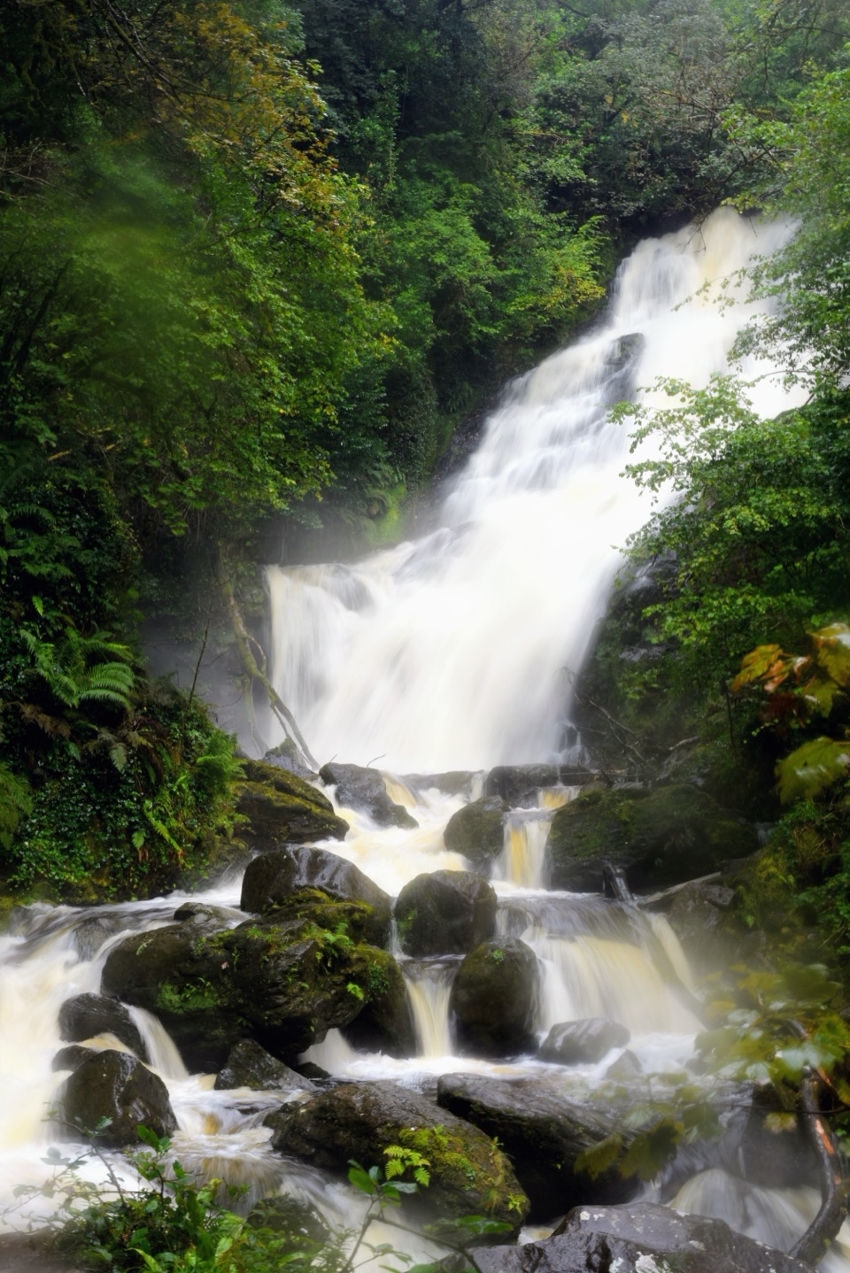 ModerateMuckross House to Torc Waterfall Loop6 km · 2 hr · 2.3 km awayLake views first, a forest climb, then Torc's full cascade.
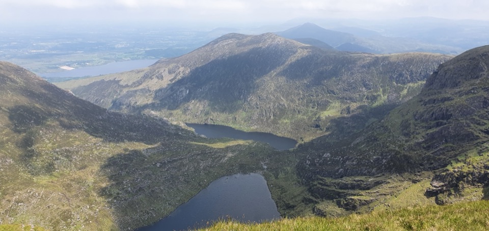 ChallengingMangerton Mountain via Devil’s Punchbowl Loop9.7 km · 4.8 hr · 3.4 km awayA glacial corrie, steep summit, and wide views over Killarney.
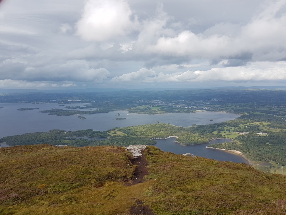 Sight · 1 km awayTorc Mountain SummitA 535 m summit over island-dotted lakes and MacGillycuddy’s Reeks.
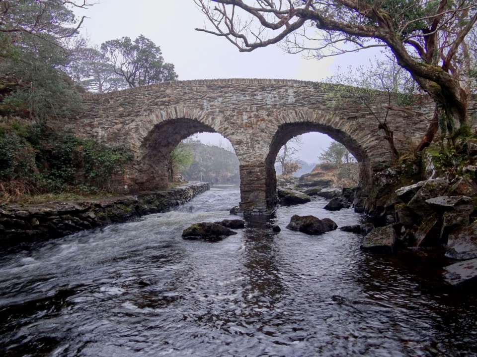 Sight · 1.4 km awayOld Weir BridgeTwo old stone arches over a lively channel.
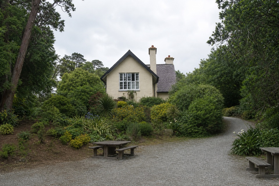 Food · 1.4 km awayDinis CottageA seasonal tea room in a 1700s cottage beside Muckross Lake.
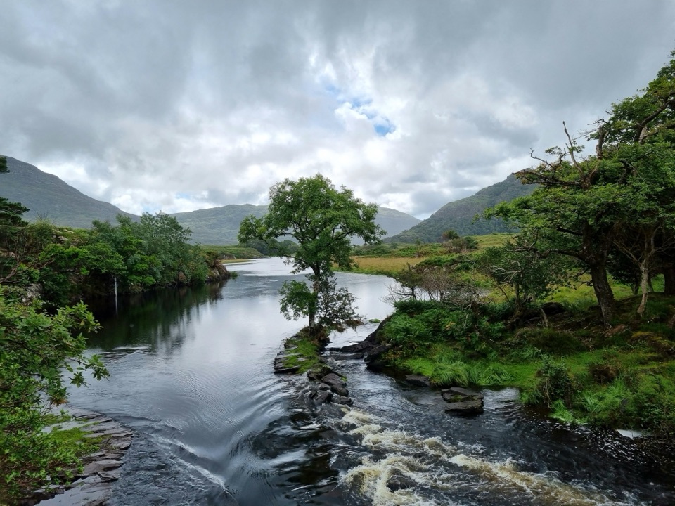 Sight · 1.4 km awayMeeting of the WatersThree lakes meet at a quiet viewpoint worth walking to.
 Sight · 1.6 km awayFive Mile BridgeA short shore walk brings glacial rock and Eagles’ Nest into view.
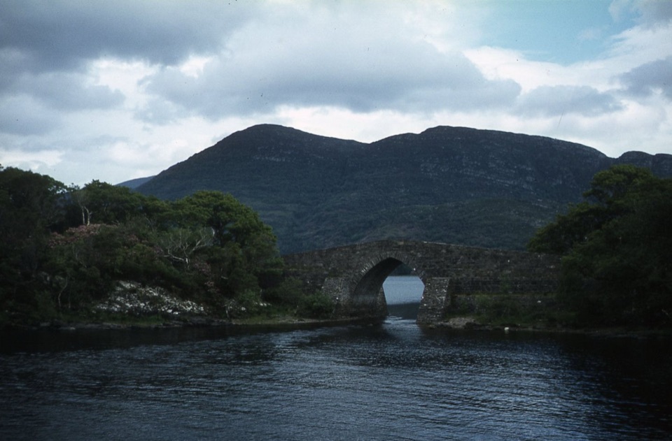 Sight · 1.7 km awayBrickeen BridgeA single stone arch between Muckross Peninsula and Brickeen Island.
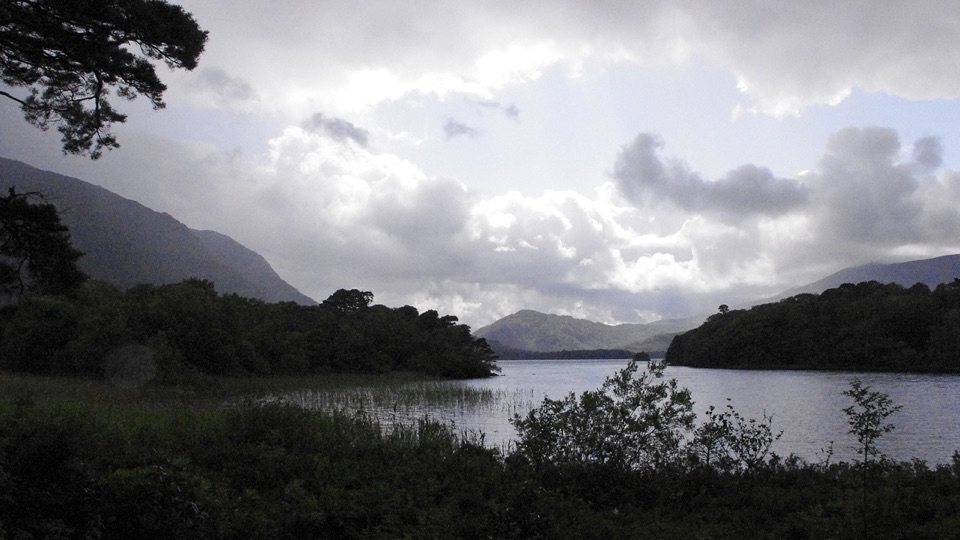 Beach · 1.7 km awayDundag Point and BeachA lakeshore walk rewards curious eyes with fossils and mountain views.
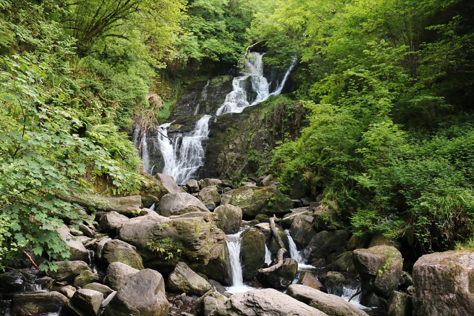 Sight · 1.7 km awayTorc WaterfallA quick cascade stop that gets better after rain.
Parkwolf’s Killarney ranking

The audio tour guide for the drive, plus offline maps, trails, and wildlife heatmaps for when the signal drops.