Parking
Use the Killarney National Park Car Park at Cloghereen Upper, just off the N71, then follow the Yellow markers.
#10 of 29 trails in Killarney
Killarney National Park, KY
A short waterfall circuit with real climbing through Killarney woods.
Overview
Map & elevation
Plan your hike

The highest, rockiest slopes around here are a summer buffet for grizzly bears.
Killarney Tour Guide
Parkwolf is a GPS audio tour guide for Killarney National Park. As you drive, it chimes in with what’s ahead: hidden gems, upcoming stops, history, geology, and wildlife, right through your car’s speakers.
Recorded for this trailhead
Torc Mountain from Torc Upper“Up ahead is the approach to Torc Upper car park, a starting point for the Torc Mountain climb.”
Plays as you drive up to this trailhead in the Parkwolf Killarney Tour Guide.
More stories near here in the app
“Fantastic app with many points of information… It’s great to just turn on while you’re driving and it gives you an audio tour of the national Park. We love it!!!!”


Trail guide
Torc Waterfall Yellow Trail is the short marked loop around the Owengarriff valley in Killarney National Park. From the car park at Cloghereen Upper on the N71, allow 1–1½ hours for about 1.8 miles (2.9 km) round trip and roughly 150 m of climbing. Yellow marks the compact circuit among the longer Blue and Red walks. If you want Torc Falls without a summit hike, this is a good middle ground between the quick waterfall approach and the bigger hill routes. Dogs are welcome on a lead in the park.
The loop climbs and drops through forest, down toward the river valley and back up toward the access. It crosses the N71 between wooded sections, so check for traffic there. Though under two miles, it gains about 150 m, so it feels more like a proper woodland hike than an easy stroll. The waterfall-side path has steps and uneven rocks; take care there when the tread is damp. Stay with the Yellow markers if you want the short circuit rather than a longer colored route.
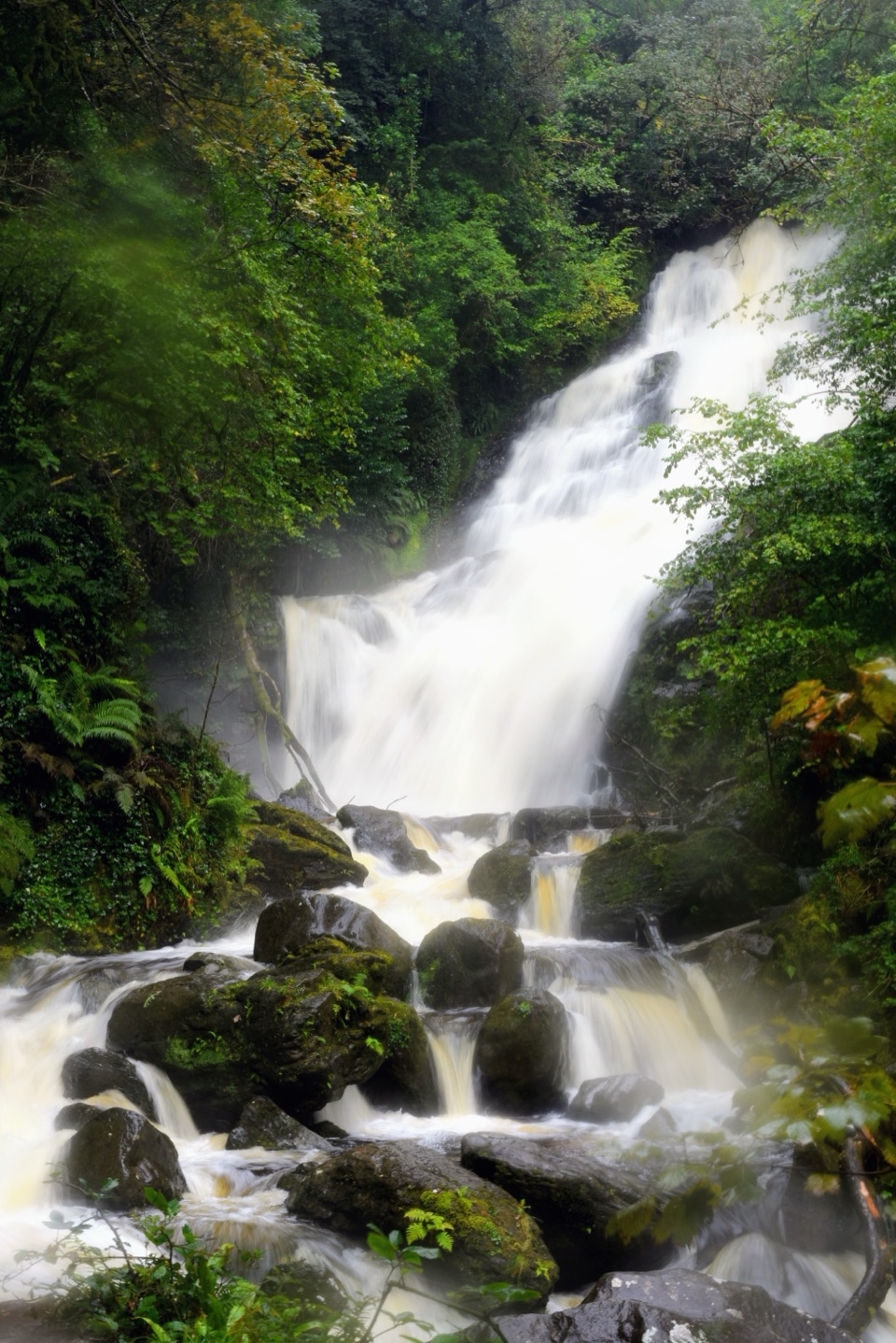
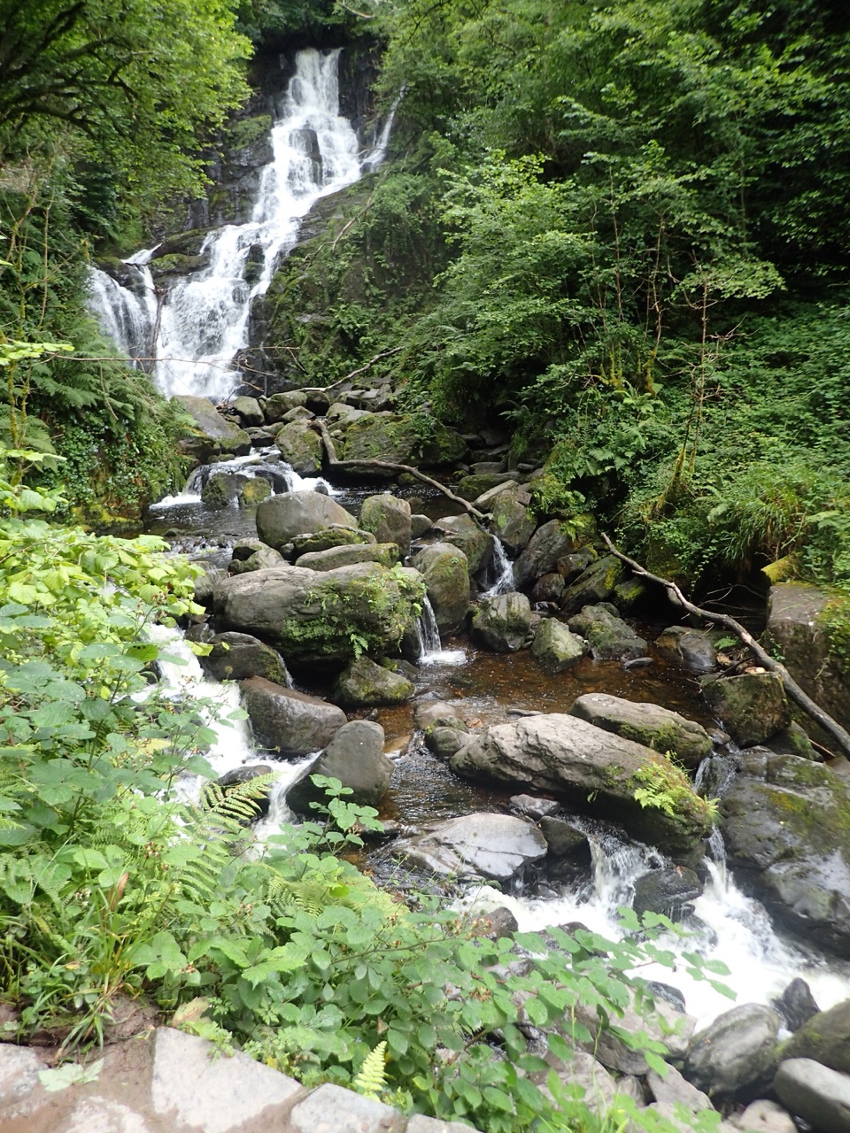
Torc is a tiered cascade about 18 m high on the Owengarriff River. The loop brings you to the falls, where water drops over dark boulders into a stream beneath dense woodland. For a photo, include the lower rocks and the run of water as well as the main drop; that shows the cascade’s several levels.
Torc is linked to the Irish word for “wild boar.” Local folklore tells of a cursed man who lived as a boar beneath the mountain and vanished in flame, releasing the waterfall. It is a story attached to the place, not a geological explanation.
Wildlife
 104 sightingsRed DeerMost seen around 7 AMSighting map
 207 sightingsSika DeerMost seen around 7 AMSighting map
 12 sightingsFeral GoatMost seen around 6 PMSighting map
 49 sightingsSwanMost seen around 7 AMSighting map
 48 sightingsHeronMost seen around 5 PMSighting map
 15 sightingsCormorantMost seen around 8 AMSighting map
Sighting maps show where each species has been reported across Killarney. Wildlife moves, so no sighting is guaranteed.
Keep exploring
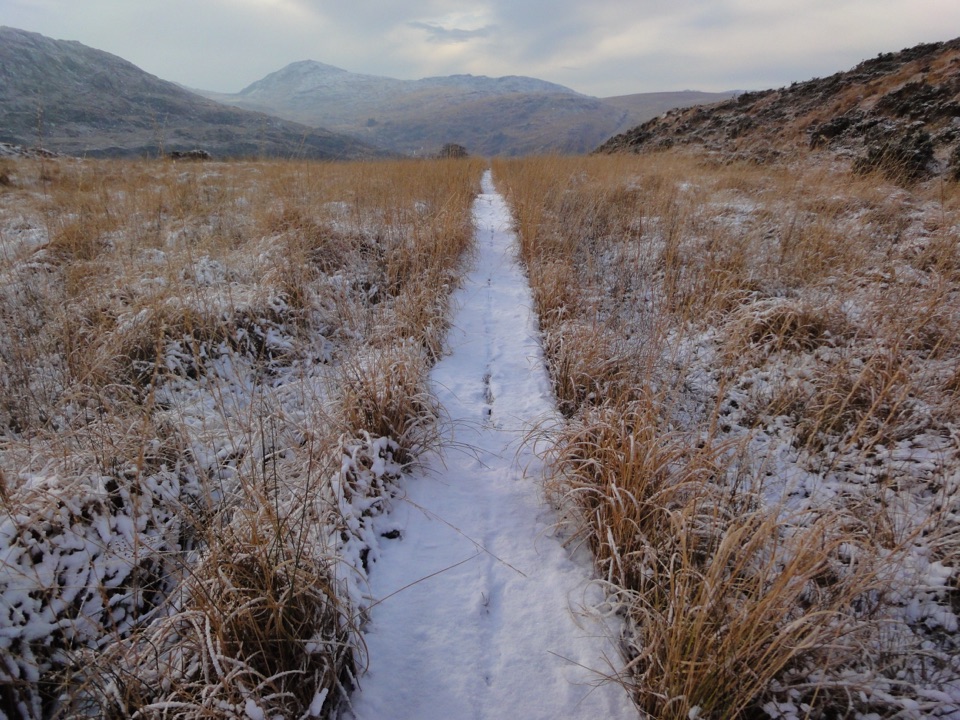 ChallengingOld Kenmare Road Walk8 km · 2.5 hr · At the trailheadA riverside old road opens into bog boardwalk and quiet uplands.
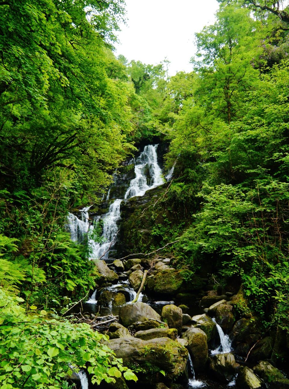 EasyDundag to Torc Path3.2 km · 1.3 hr · 1.4 km awayLake views and deer on an easy walk to Torc Waterfall.
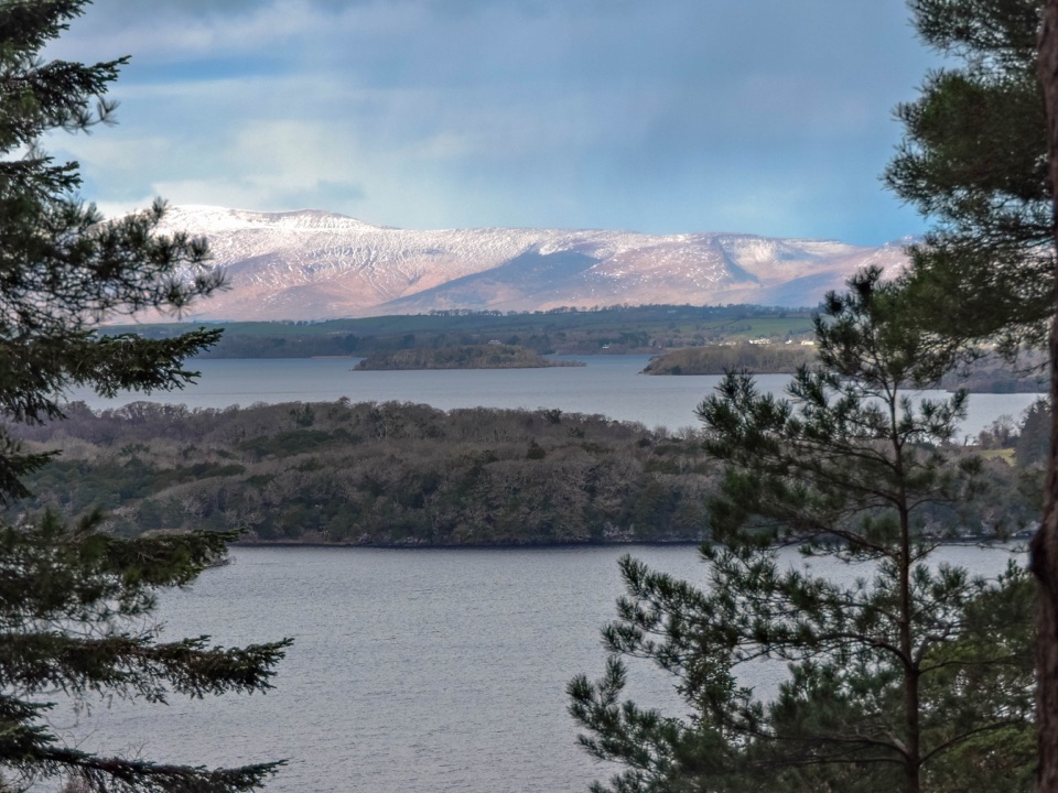 ChallengingCardiac Hill Loop4.5 km · 1.8 hr · 1.8 km awayAbout 1,250 steep steps buy you a big lake view.
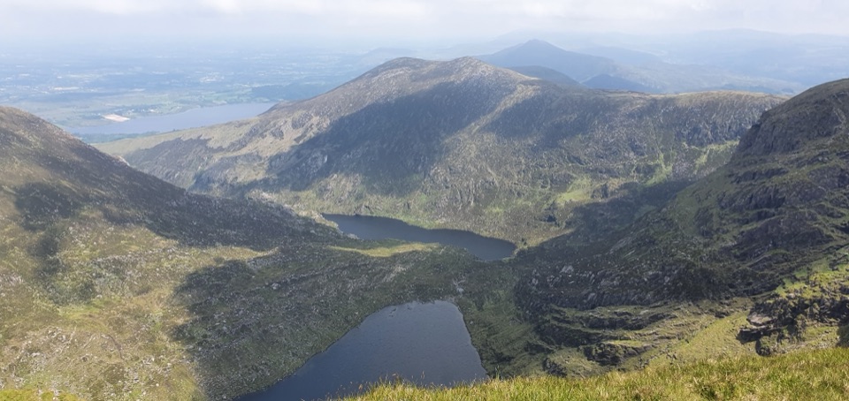 ChallengingMangerton Mountain via Devil’s Punchbowl Loop9.7 km · 4.8 hr · 1.8 km awayA glacial corrie, steep summit, and wide views over Killarney.
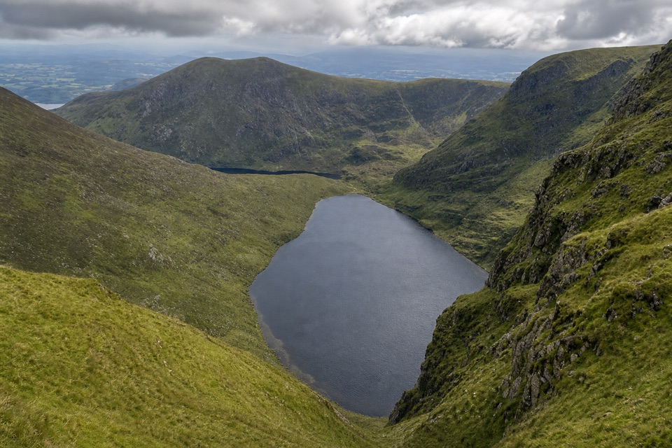 ChallengingGortagullane River and Devil’s Punchbowl Loop9.7 km · 4.5 hr · 1.8 km awayClimb to the Punch Bowl, then loop high across Mangerton.
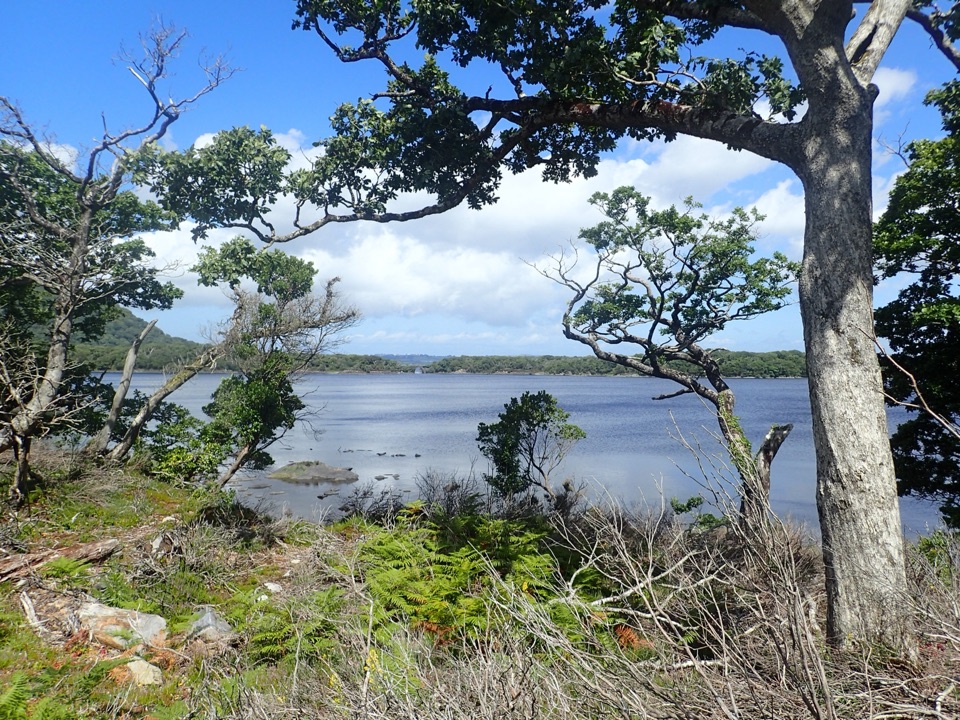 ModerateMuckross Lake Loop10 km · 4 hr · 1.9 km awayA lake loop through yew woods to a historic cottage.
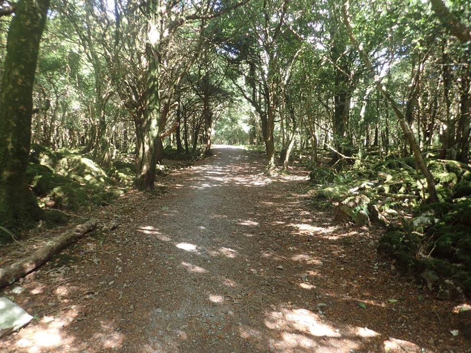 ModerateArthur Young’s Walk5.6 km · 2.3 hr · 1.9 km awayA mostly flat woodland walk between two lakes and rare yews.
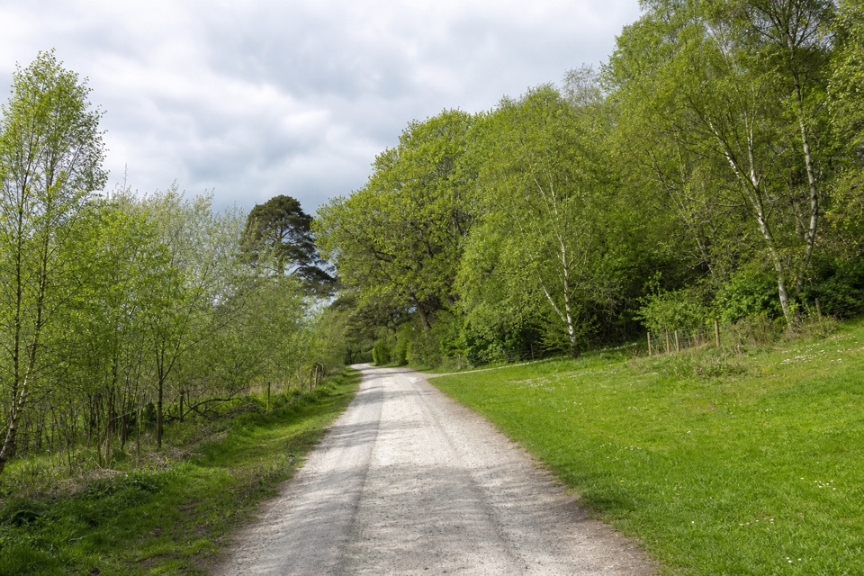 ModerateMossy Woods Walk2 km · 45 min · 1.9 km awayA short woodland path to views across Muckross Lake.
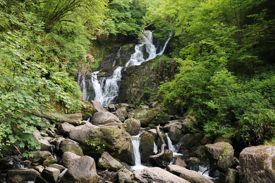 Sight · 0.2 km awayTorc WaterfallA quick cascade stop that gets better after rain.
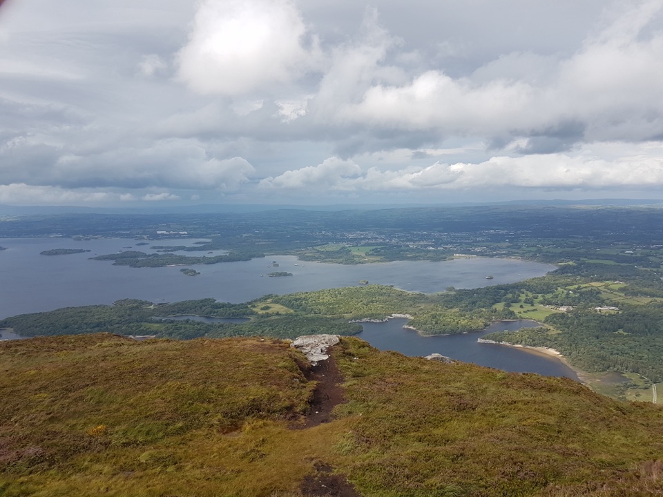 Sight · 1.2 km awayTorc Mountain SummitA 535 m summit over island-dotted lakes and MacGillycuddy’s Reeks.
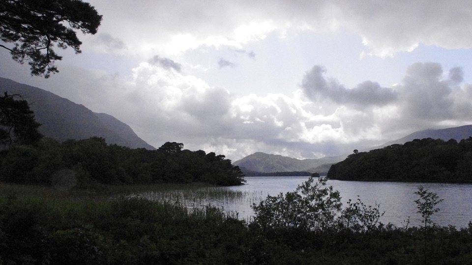 Beach · 1.4 km awayDundag Point and BeachA lakeshore walk rewards curious eyes with fossils and mountain views.
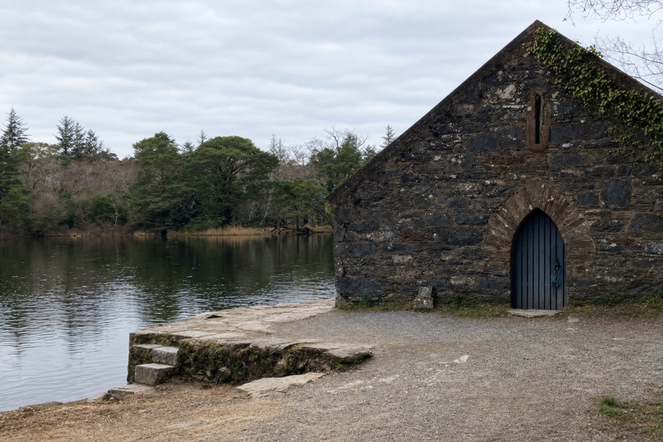 Sight · 1.5 km awayMuckross Old Boathouse and Dundag PierBoat trips start here for Dinis and the Meeting of the Waters
 Sight · 1.9 km awayMuckross House and GardensPeriod rooms, free gardens, and lake walks make an easy half-day.
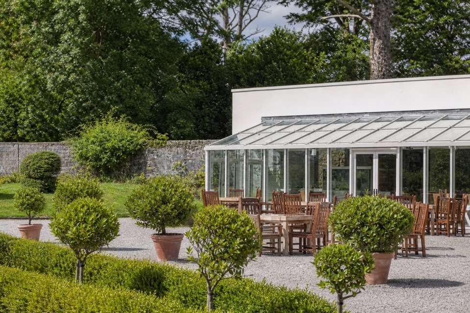 Restaurant · 1.9 km awayMuckross Garden RestaurantA conservatory lunch with Torc and Mangerton beyond the gardens
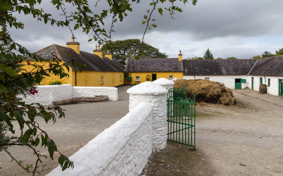 Sight · 2.1 km awayMuckross Traditional FarmsThree farmsteads make pre-electric rural life tangible.
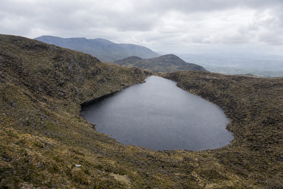 Sight · 2.7 km awayDevil’s PunchbowlA dark lake in a high glacial bowl on Mangerton.
Parkwolf’s Killarney ranking

The audio tour guide for the drive, plus offline maps, trails, and wildlife heatmaps for when the signal drops.