Parking
Start at the small roadside lay-by beside the Finoulagh River near Cormac’s Haggard, reached by the Mangerton road from the N71. Space is very limited, about four cars; do not block the road.
Killarney National Park, KY
Climb to the Punch Bowl, then loop high across Mangerton.
Overview
This is about a 6-mile loop from the Finoulagh River lay-by up to the Devil’s Punch Bowl, onto Mangerton’s broad summit plateau, and back around the corrie to the approach trail. Budget about 4½ hours and 700 m of climbing. It’s a hard, rough mountain day for the high lake and wide views; if your main goal is just to see the water, the climb is a lot for one view.
 Parkwolf’s verdictIs this the hike for you?
Map & elevation
Plan your hike

The highest, rockiest slopes around here are a summer buffet for grizzly bears.
Killarney Tour Guide
Parkwolf is a GPS audio tour guide for Killarney National Park. As you drive, it chimes in with what’s ahead: hidden gems, upcoming stops, history, geology, and wildlife, right through your car’s speakers.
Recorded for this area
Muckross House and Gardens“You're approaching the entrance to Muckross House and Gardens. You can make a visit of the free gardens alone, or buy admission to the Victorian house.”
Plays on the road 1.6 km from the trailhead in the Parkwolf Killarney Tour Guide.
More stories near here in the app
“Fantastic app with many points of information… It’s great to just turn on while you’re driving and it gives you an audio tour of the national Park. We love it!!!!”


Trail guide
The walk starts across open lower ground by the river, often muddy, then a narrow path crosses the stream by the stone marked Cormac’s Haggard. After that, the climb turns steep and stony. As you gain height, Lough Leane and Lough Guitane come into view, with the MacGillycuddy’s Reeks opening up farther along.
At the fork by a boulder with an iron bar, continue straight. The left branch can look like a direct option, but it isn’t the circuit described here.
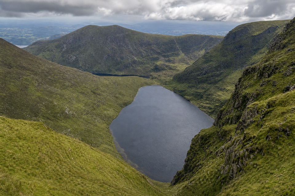
Devil’s Punch Bowl is a corrie lake, its basin carved by ice and enclosed by steep mountain slopes. Its outlet becomes the Owengarriff River, which eventually runs over Torc Waterfall, though this route doesn’t visit the falls.
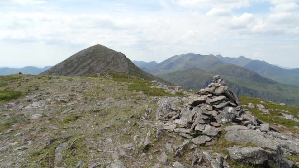
The circuit leaves the lake and climbs a grassy flank, then a stony ridge to a broad, marshy plateau. The mapped route follows a cairn just below Mangerton’s highest point; reaching the pole-marked high point means crossing wet ground, so the circuit stops short.
On the descent, the path circles the bowl’s north side and opens a view down Horses Glen to Lough Erhogh. Large boulders lead back toward the lake’s outlet, where the route rejoins the way you climbed. From the high side, keep some of the steep rim in the frame with the water; the scale is the point of the view.
The roadside pull-off by the Finoulagh River is tiny, with space for about four cars, and there are no refreshment stops on the route. The steep grassy slopes and broad plateau are much harder to follow in poor visibility, and the lower ground can be muddy. This route is described as a public walk, but I couldn’t confirm a specific park access or dog rule; check current NPWS guidance before setting out or bringing a pet.
Wildlife
 104 sightingsRed DeerMost seen around 7 AMSighting map
 207 sightingsSika DeerMost seen around 7 AMSighting map
 12 sightingsFeral GoatMost seen around 6 PMSighting map
 49 sightingsSwanMost seen around 7 AMSighting map
 48 sightingsHeronMost seen around 5 PMSighting map
 15 sightingsCormorantMost seen around 8 AMSighting map
Sighting maps show where each species has been reported across Killarney. Wildlife moves, so no sighting is guaranteed.
Keep exploring
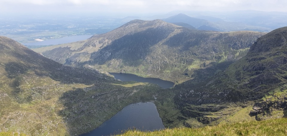 ChallengingMangerton Mountain via Devil’s Punchbowl Loop9.7 km · 4.8 hr · At the trailheadA glacial corrie, steep summit, and wide views over Killarney.
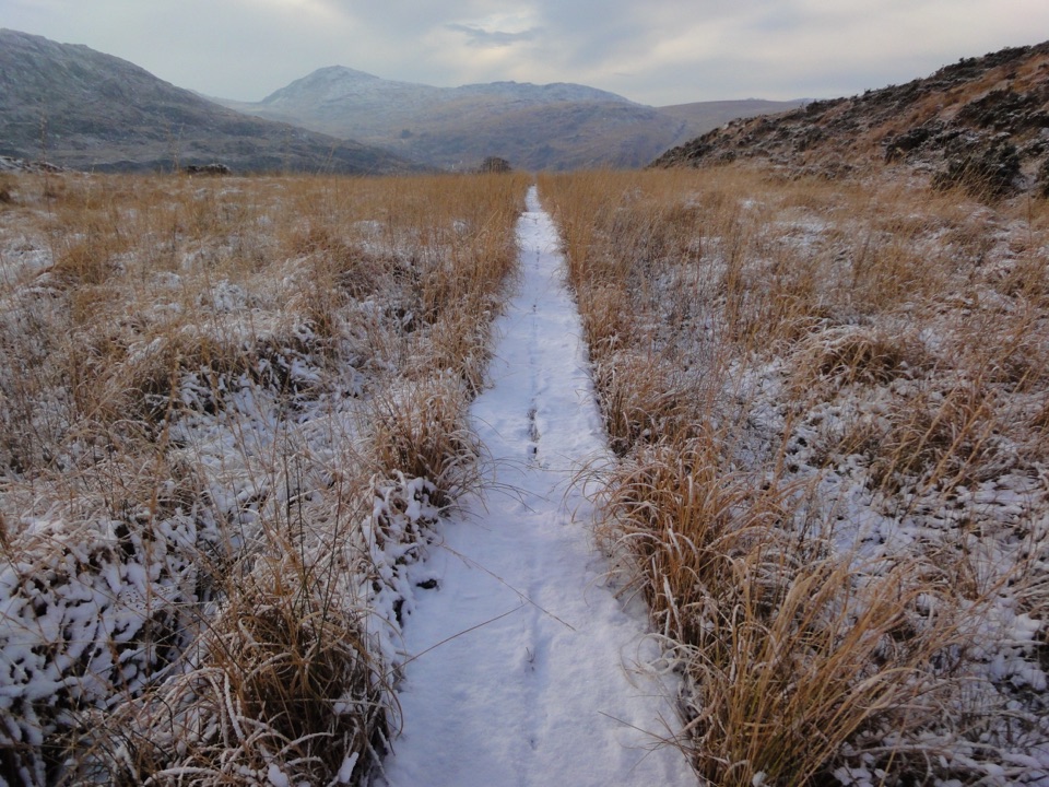 ChallengingOld Kenmare Road Walk8 km · 2.5 hr · 1.8 km awayA riverside old road opens into bog boardwalk and quiet uplands.
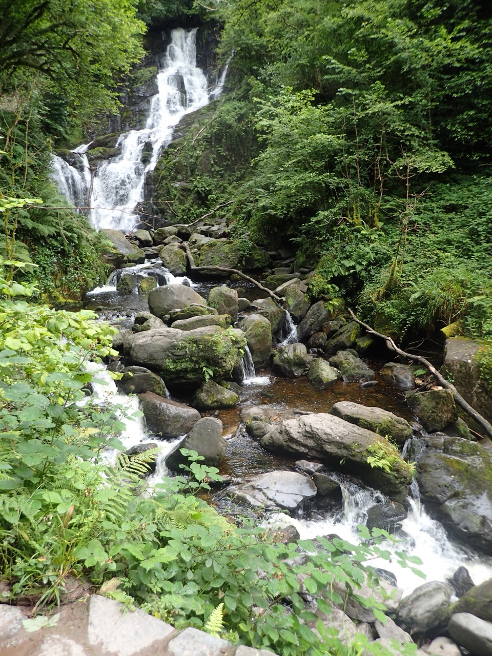 ModerateTorc Waterfall Yellow Trail2.9 km · 1.3 hr · 1.8 km awayA short waterfall circuit with real climbing through Killarney woods.
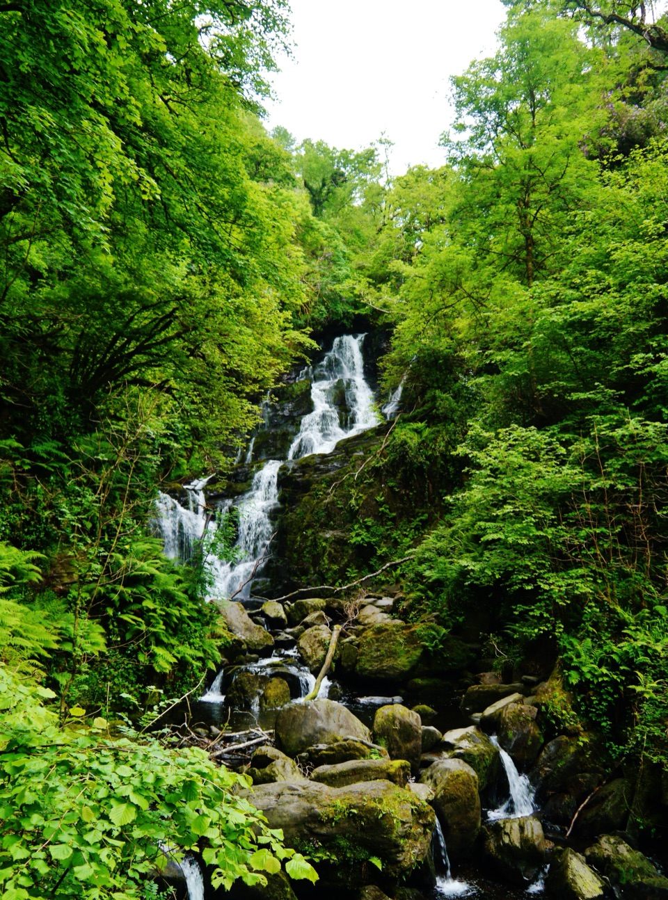 EasyDundag to Torc Path3.2 km · 1.3 hr · 1.9 km awayLake views and deer on an easy walk to Torc Waterfall.
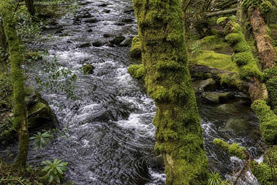 ModerateKillegy Woods and Queen’s Drive3 km · 1 hr · 1.9 km awayA short forest circuit with a good chance of seeing red deer.
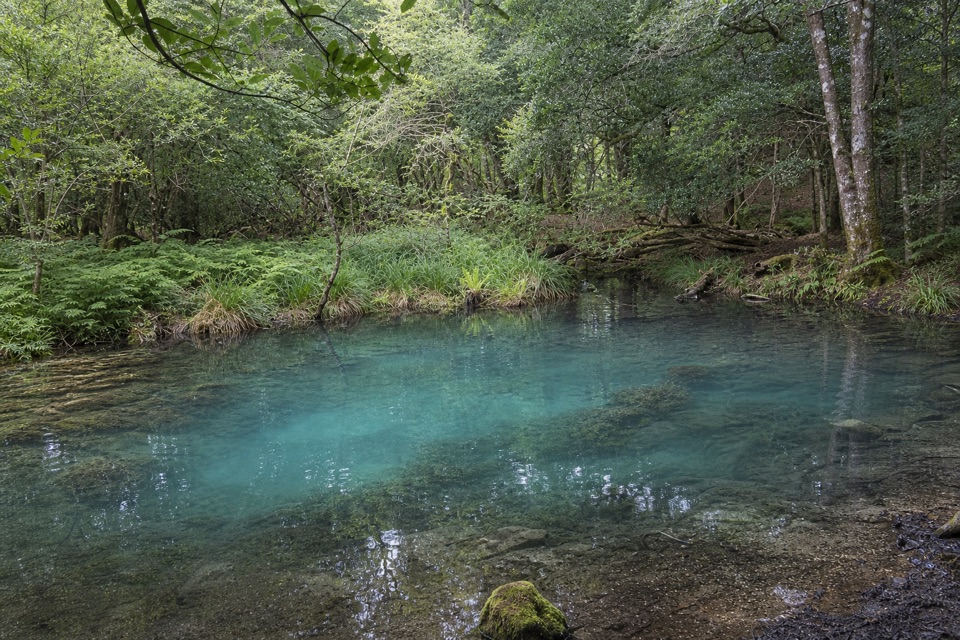 EasyBlue Pool Woodland Nature Trail2.6 km · 45 min · 1.9 km awayA quiet woodland loop with a signed spur to the Blue Pool
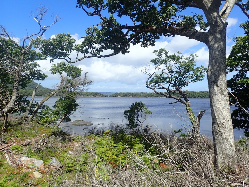 ModerateMuckross Lake Loop10 km · 4 hr · 2 km awayA lake loop through yew woods to a historic cottage.
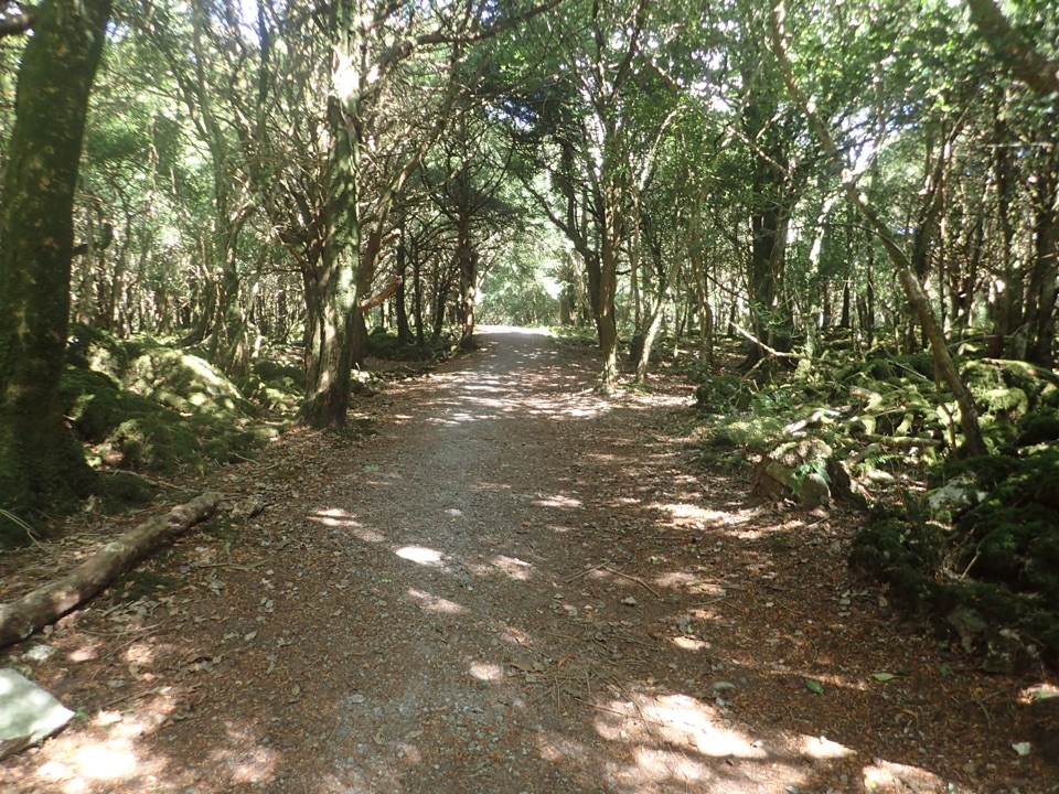 ModerateArthur Young’s Walk5.6 km · 2.3 hr · 2 km awayA mostly flat woodland walk between two lakes and rare yews.
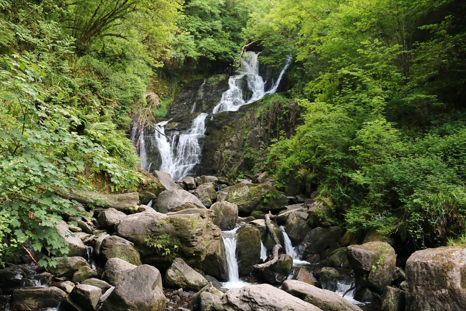 Sight · 1.8 km awayTorc WaterfallA quick cascade stop that gets better after rain.
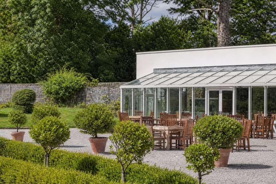 Restaurant · 1.9 km awayMuckross Garden RestaurantA conservatory lunch with Torc and Mangerton beyond the gardens
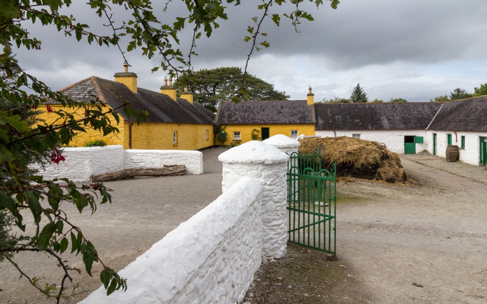 Sight · 1.9 km awayMuckross Traditional FarmsThree farmsteads make pre-electric rural life tangible.
 Sight · 2 km awayMuckross House and GardensPeriod rooms, free gardens, and lake walks make an easy half-day.
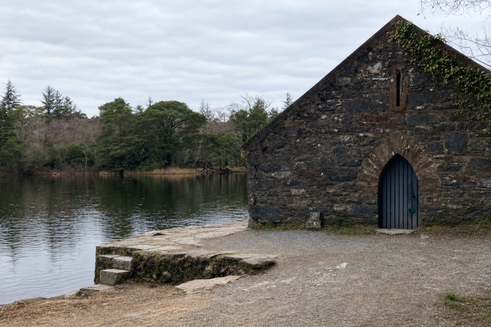 Sight · 2.1 km awayMuckross Old Boathouse and Dundag PierBoat trips start here for Dinis and the Meeting of the Waters
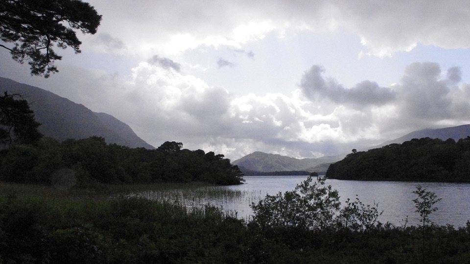 Beach · 2.1 km awayDundag Point and BeachA lakeshore walk rewards curious eyes with fossils and mountain views.
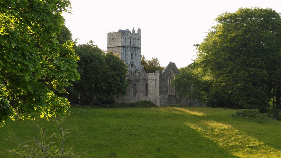 Sight · 2.3 km awayMuckross AbbeyA vaulted cloister circles a yew at the heart of these ruins.
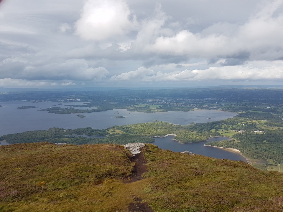 Sight · 3 km awayTorc Mountain SummitA 535 m summit over island-dotted lakes and MacGillycuddy’s Reeks.
Parkwolf’s Killarney ranking
The audio tour guide for the drive, plus offline maps, trails, and wildlife heatmaps for when the signal drops.