Overview
About Brickeen Bridge
Why stop
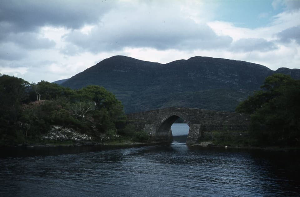
- A graceful arch with a memorable view from the water.
Heads up
- Best folded into a longer Muckross outing, not a trip on its own.
Map
Where it is

The highest, rockiest slopes around here are a summer buffet for grizzly bears.
Killarney Tour Guide
Your drive to Brickeen Bridge, narrated.
Parkwolf is a GPS audio tour guide for Killarney National Park. As you drive, it chimes in with what’s ahead: hidden gems, upcoming stops, history, geology, and wildlife, right through your car’s speakers.
Recorded for this area
Dinis and the Meeting of the Waters“You're nearing the walking access for Dinis and the Meeting of the Waters, where Killarney's three lakes come together. You'll need to leave the car and walk in to see the channels.”
Plays on the road 1.7 km from Brickeen Bridge in the Parkwolf Killarney Tour Guide.
More stories near here in the app
- Five Mile Bridge and Eagles’ Nest
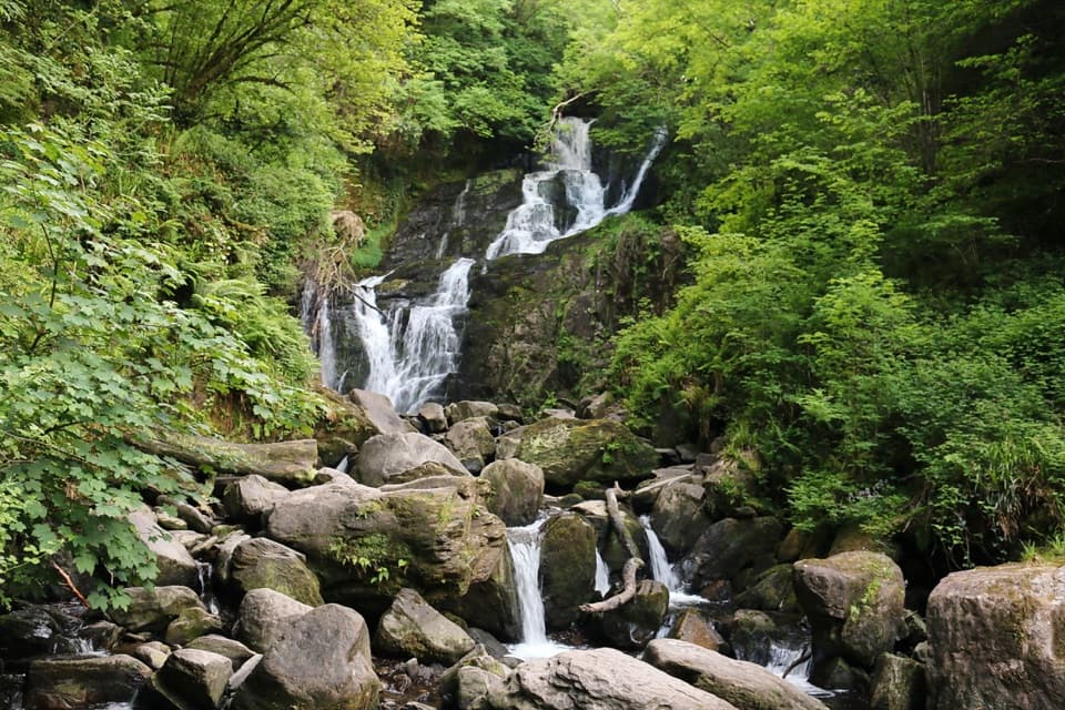
- Torc Waterfall
- Torc Mountain from Torc Upper
- Ross Island Copper Mines
- 18 audio storiesacross Killarney’s roads, triggered by GPS as you drive
- Wildlife heatmapsfor Red Deer, Sika Deer, Feral Goat, and 11 more
- Works offlinemaps, 29 trails, 32 places, and audio download before you lose signal
- CarPlay readysimple controls built for the drive
“Fantastic app with many points of information… It’s great to just turn on while you’re driving and it gives you an audio tour of the national Park. We love it!!!!”


Guide
More about Brickeen Bridge
A small stop with a lovely settingBrickeen Bridge is a historic single-arch stone bridge over the narrow channel between Muckross…
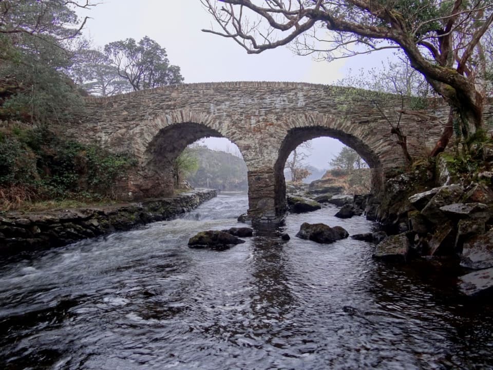
Brickeen Bridge is a historic single-arch stone bridge over the narrow channel between Muckross Peninsula and Brickeen Island. It’s best as a pause on a Muckross walk, cycle or boat outing; the arch and the lake setting are the reward, and there isn’t enough here to build a whole visit around the bridge alone.
Crossing, cycling and boatingPeople use the bridge on foot and by bicycle.
People use the bridge on foot and by bicycle. The cycle route runs one way here, while the crossing is open in both directions on foot, so cyclists should plan their route around the direction of travel instead of treating the bridge as a turnaround. A boat passing beneath the arch gives a different view and shows how the bridge sits over the water. Dogs must be kept on a lead in the park.
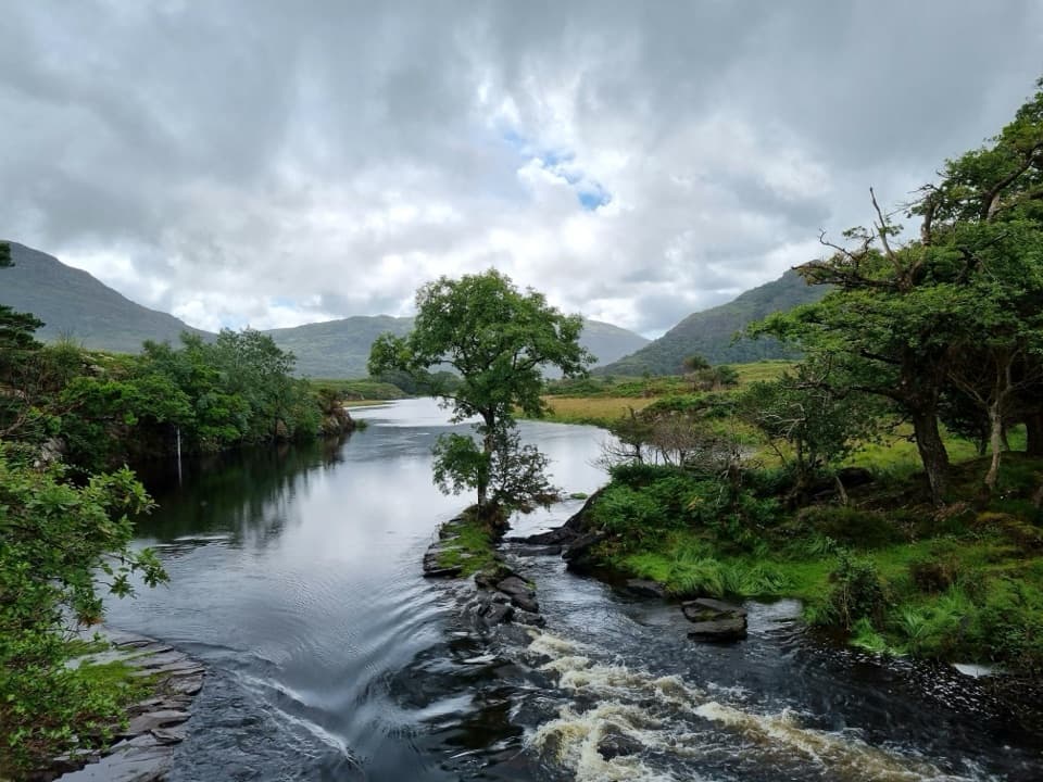
Look through the archFrom the bridge, look along the lake and through the stone arch.
From the bridge, look along the lake and through the stone arch. For a photo, keep the opening and water in the same frame; from a boat, the arch gives you a low view back toward the wooded shore and hills.
A landmark by 1900The bridge was already described as a single arch between the peninsula and island by 1900.
The bridge was already described as a single arch between the peninsula and island by 1900. Its exact construction date, builder and name origin aren’t established consistently, so treat it as a historic crossing without pinning it to a particular decade.
Wildlife
Wildlife in Killarney
 106 sightingsRed DeerMost seen around 7 AMSighting map
 209 sightingsSika DeerMost seen around 7 AMSighting map
 12 sightingsFeral GoatMost seen around 6 PMSighting map
 49 sightingsSwanMost seen around 7 AMSighting map
 48 sightingsHeronMost seen around 5 PMSighting map
 16 sightingsCormorantMost seen around 8 AMSighting map
Sighting maps show where each species has been reported across Killarney. Wildlife moves, so no sighting is guaranteed.