Parking
Use the Muckross House visitor car park. The roadside Torc Waterfall lot is partway along the route, not the loop’s starting point.
#2 of 29 trails in Killarney
Killarney National Park, KY
Lake views first, a forest climb, then Torc's full cascade.
Overview
Map & elevation
Plan your hike

The highest, rockiest slopes around here are a summer buffet for grizzly bears.
Killarney Tour Guide
Parkwolf is a GPS audio tour guide for Killarney National Park. As you drive, it chimes in with what’s ahead: hidden gems, upcoming stops, history, geology, and wildlife, right through your car’s speakers.
Recorded for this trailhead
Muckross House and Gardens“You're approaching the entrance to Muckross House and Gardens. You can make a visit of the free gardens alone, or buy admission to the Victorian house.”
Plays as you drive up to this trailhead in the Parkwolf Killarney Tour Guide.
More stories near here in the app
“Fantastic app with many points of information… It’s great to just turn on while you’re driving and it gives you an audio tour of the national Park. We love it!!!!”


Trail guide
Muckross House to Torc Waterfall Loop is a 3.7-mile circuit from Muckross House, pairing a lakeside stroll with a steady wooded climb to Torc’s broad cascade. Allow about two hours, more if you linger at Dundag Point or stop for photos. The mapped version shares nearly a mile of the Lake Loop on the way out and back before the waterfall circuit closes; you’ll retrace that stretch. It’s a good choice for a close view of the falls without taking on the full Muckross Lake circuit, which is a separate, much longer walk. Distance figures vary with the Lake Loop connections included; this route follows the short House-to-Torc circuit.
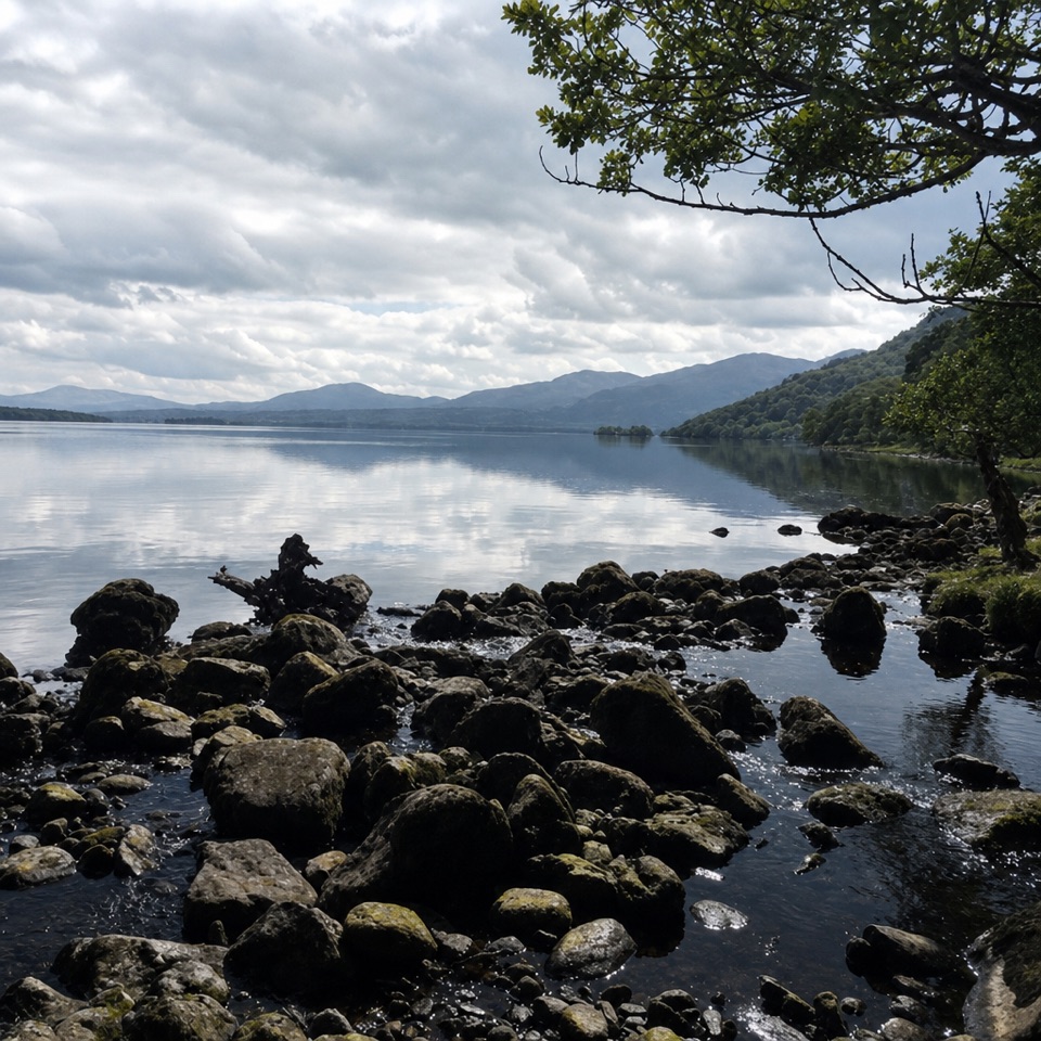
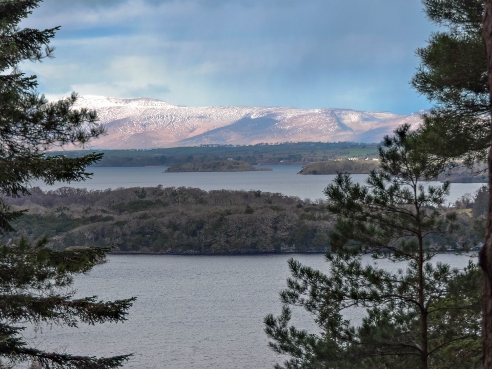
Leave the Muckross House visitor grounds on the signed Lake Loop and follow the lakeside path toward the Old Boathouse and Dundag Point. Much of this section is surfaced and shaded, with short openings onto the shore, rocky coves and small beaches. Dundag is the stop to slow down for: its pale limestone edge looks across Middle Lake toward the mountains. A secluded beach sits just beyond the point. At the trail junctions, keep to the signed route toward Torc rather than continuing around the full lake.
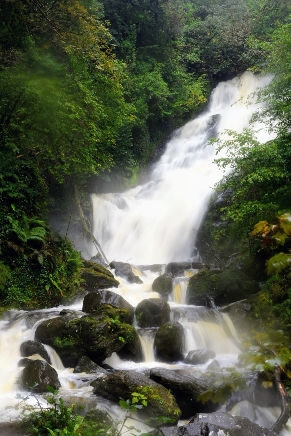
Turn onto the Torc route and climb steadily through trees to the Owengarriff River above the main cascade. The path crosses the water, then a series of stone steps descends through woodland on the east bank to the waterfall viewpoint. Torc’s main cascade is about 18 metres high. From here the path continues under the road bridge and reconnects with the Lake Loop for the walk back to Muckross House. The waterfall circuit is the hilliest part; the rest is gentler, though it isn’t a flat stroll.
The steps are steep and the rocks beside the water can be slippery after rain. Keep children close on the stairs and dogs on lead near the stream. The broad falls are the signature photo stop: frame the bright water with the dark rock and trees at either side so the whole cascade stays visible.
Dundag’s limestone supports a patch of native yew woodland, an unusual contrast with the water’s edge. The name may refer to the mythic Dagda or to a “fort of the wood”; a possible Iron Age promontory fort and a souterrain are described here, but both the etymology and the site’s original use remain uncertain. There are two old boathouses near the shore: one stored boats, while the covered pier let them be launched. In the open Torc fields, red deer are often seen, though they’re wildlife, not a scheduled attraction.
Use the Muckross House visitor car park; the roadside Torc Waterfall lot is partway along the route, not the loop’s starting point. Toilets and the garden restaurant are by the House, rather than out on the trail. Dogs are allowed on park trails but must stay on a lead throughout. If you want a longer outing, choose the full Muckross Lake loop deliberately; its western side and Dinis Cottage are beyond this Torc circuit.
Wildlife
 104 sightingsRed DeerMost seen around 7 AMSighting map
 207 sightingsSika DeerMost seen around 7 AMSighting map
 12 sightingsFeral GoatMost seen around 6 PMSighting map
 49 sightingsSwanMost seen around 7 AMSighting map
 48 sightingsHeronMost seen around 5 PMSighting map
 15 sightingsCormorantMost seen around 8 AMSighting map
Sighting maps show where each species has been reported across Killarney. Wildlife moves, so no sighting is guaranteed.
Keep exploring
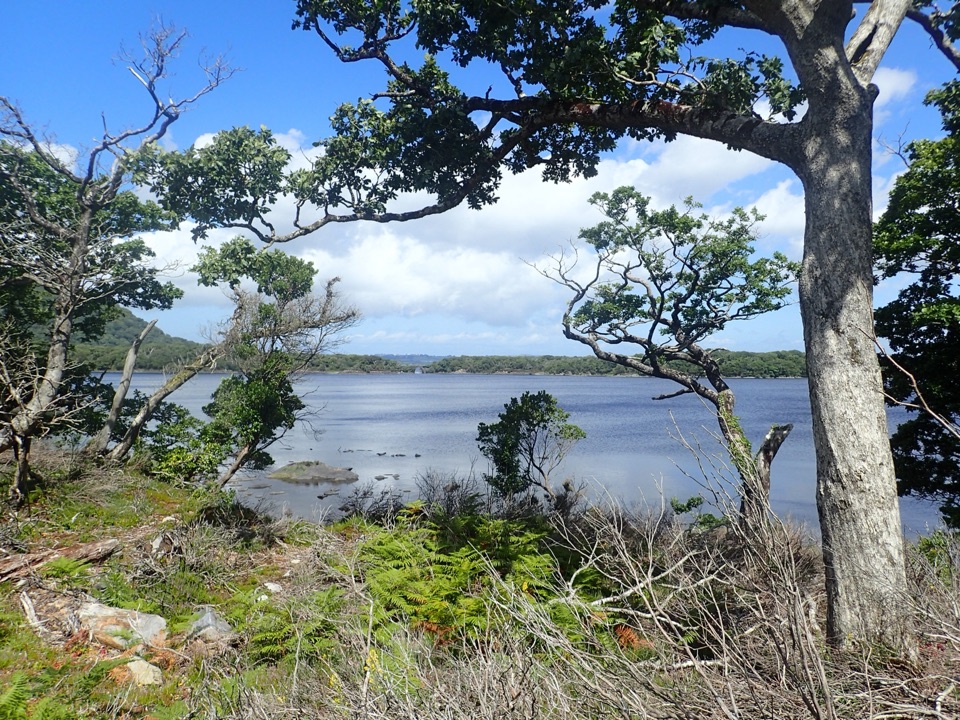 ModerateMuckross Lake Loop10 km · 4 hr · At the trailheadA lake loop through yew woods to a historic cottage.
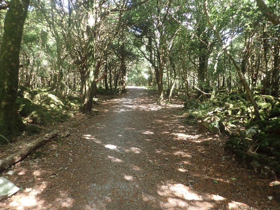 ModerateArthur Young’s Walk5.6 km · 2.3 hr · At the trailheadA mostly flat woodland walk between two lakes and rare yews.
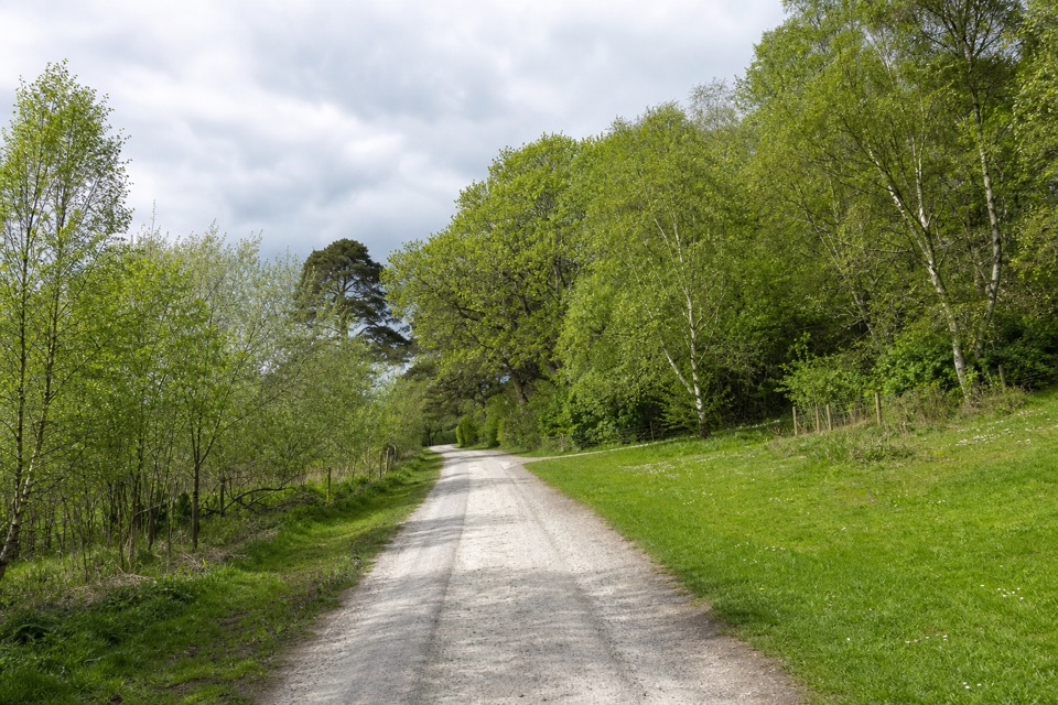 ModerateMossy Woods Walk2 km · 45 min · At the trailheadA short woodland path to views across Muckross Lake.
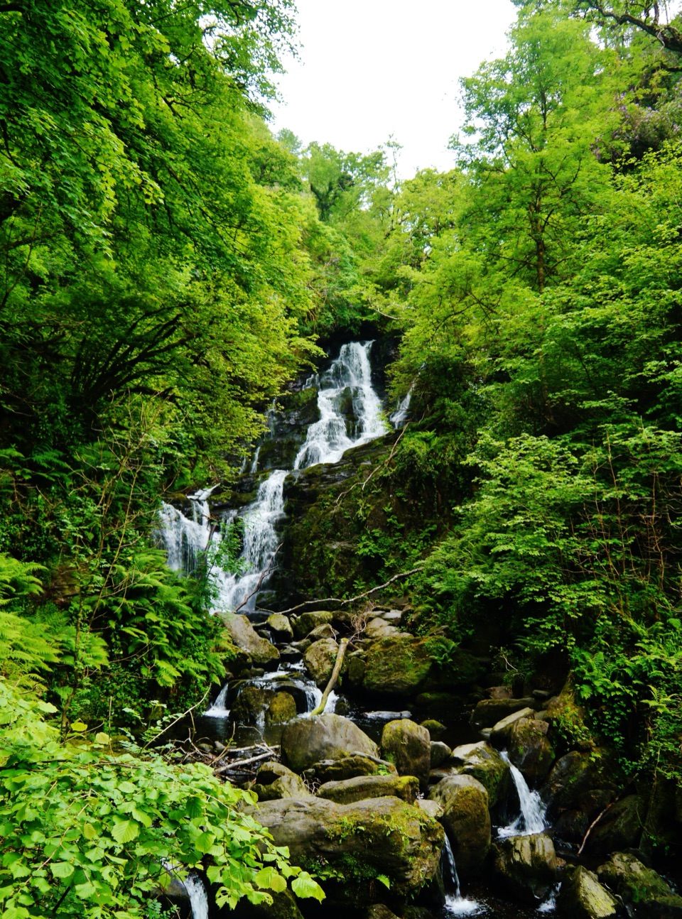 EasyDundag to Torc Path3.2 km · 1.3 hr · 0.6 km awayLake views and deer on an easy walk to Torc Waterfall.
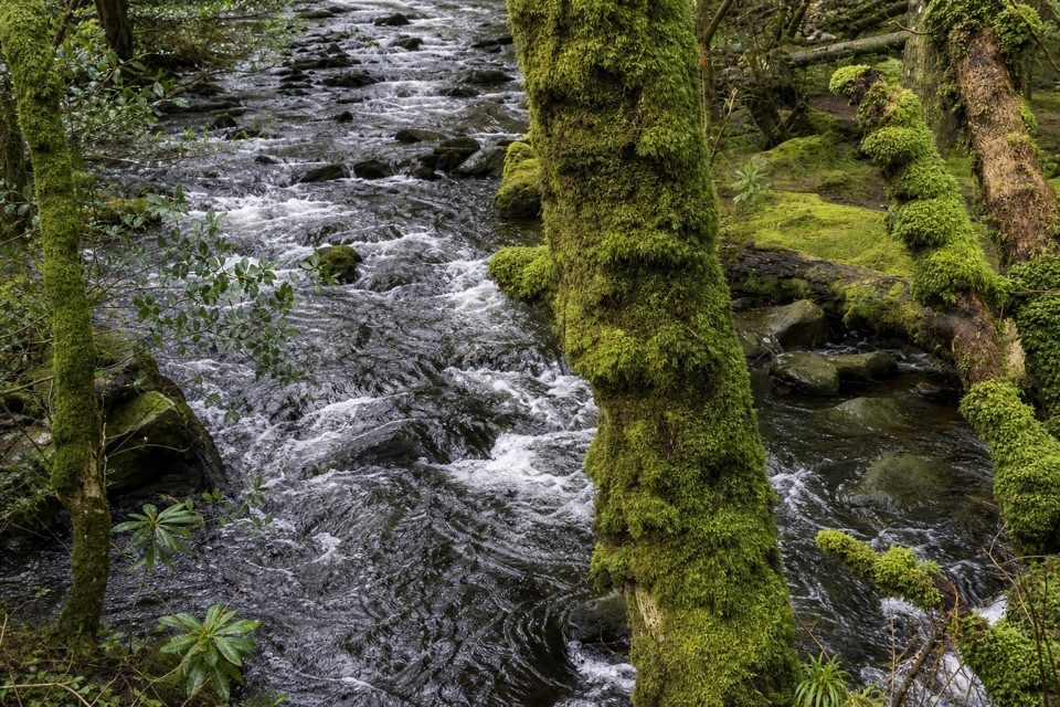 ModerateKillegy Woods and Queen’s Drive3 km · 1 hr · 1.2 km awayA short forest circuit with a good chance of seeing red deer.
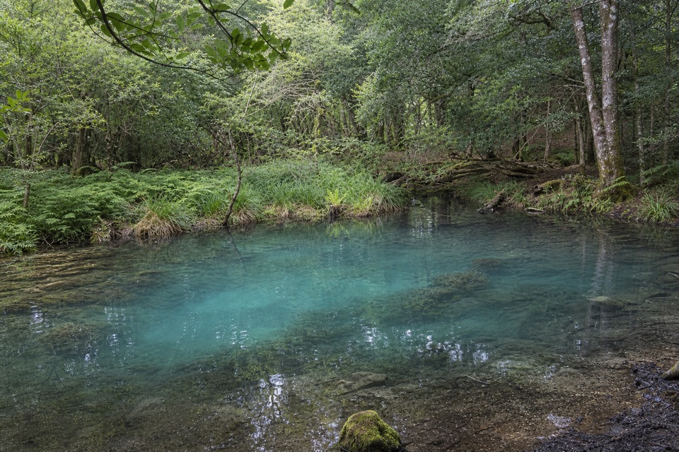 EasyBlue Pool Woodland Nature Trail2.6 km · 45 min · 1.2 km awayA quiet woodland loop with a signed spur to the Blue Pool
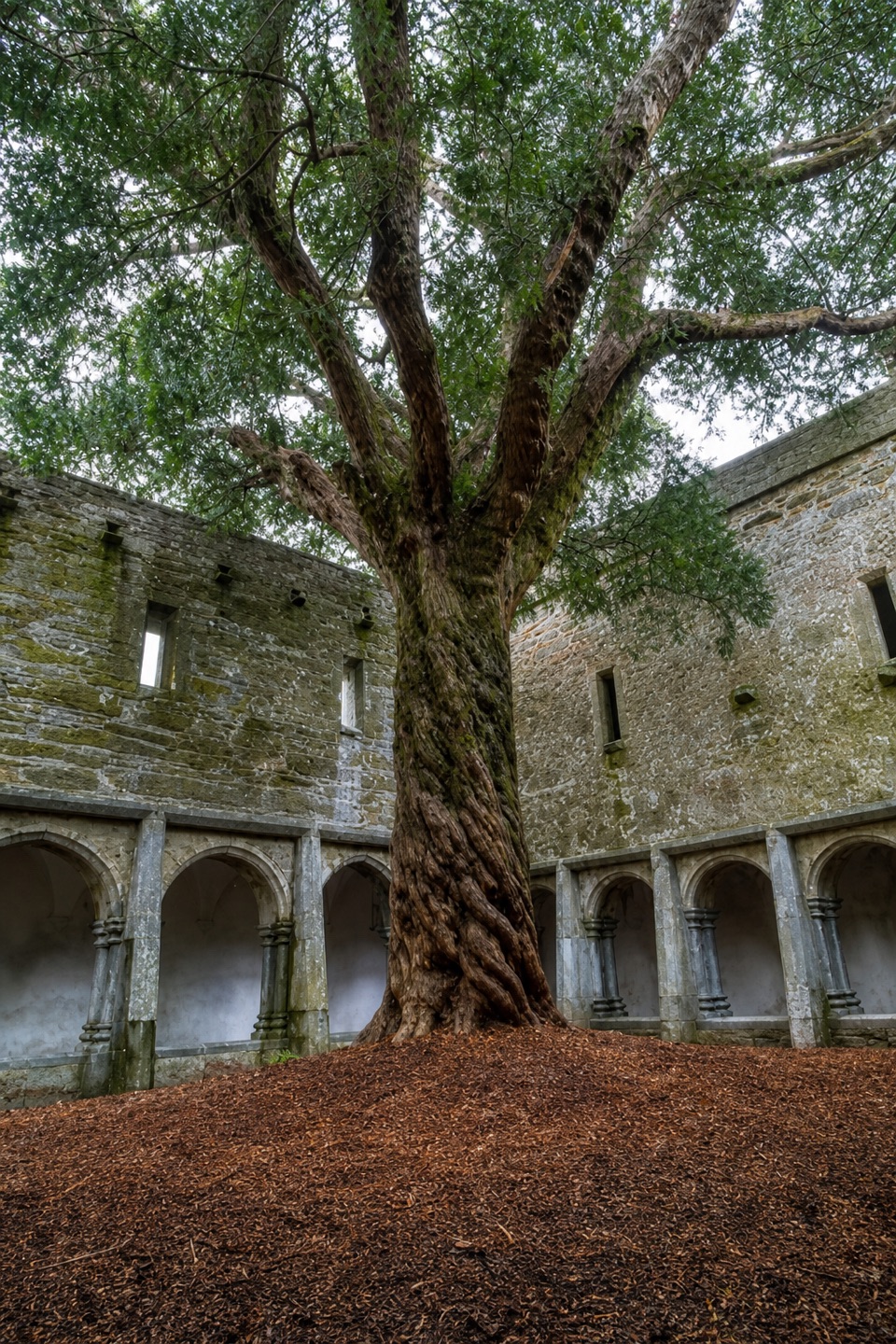 EasyLakeside Walk5 km · 1.5 hr · 1.9 km awayAn easy, rough 5 km return beside Lough Leane.
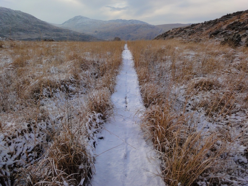 ChallengingOld Kenmare Road Walk8 km · 2.5 hr · 1.9 km awayA riverside old road opens into bog boardwalk and quiet uplands.
 Sight · At the trailheadMuckross House and GardensPeriod rooms, free gardens, and lake walks make an easy half-day.
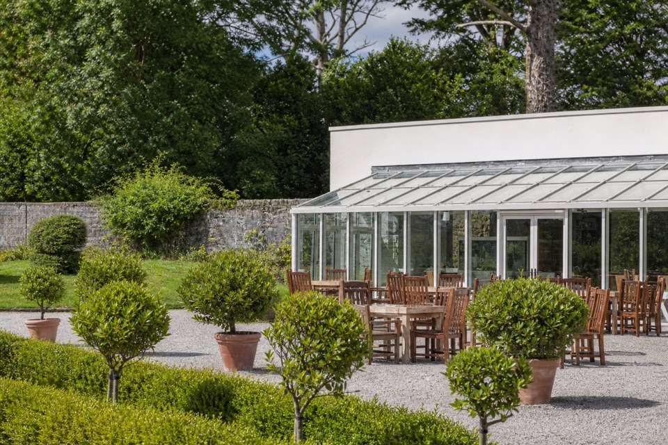 Restaurant · 0.2 km awayMuckross Garden RestaurantA conservatory lunch with Torc and Mangerton beyond the gardens
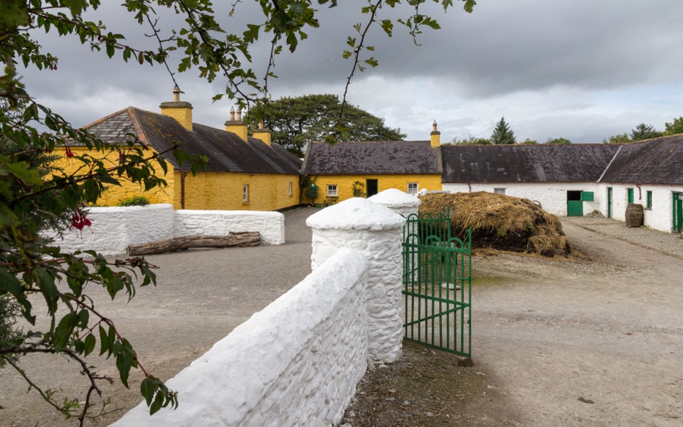 Sight · 0.3 km awayMuckross Traditional FarmsThree farmsteads make pre-electric rural life tangible.
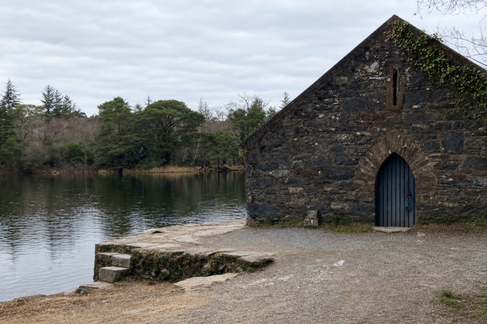 Sight · 0.5 km awayMuckross Old Boathouse and Dundag PierBoat trips start here for Dinis and the Meeting of the Waters
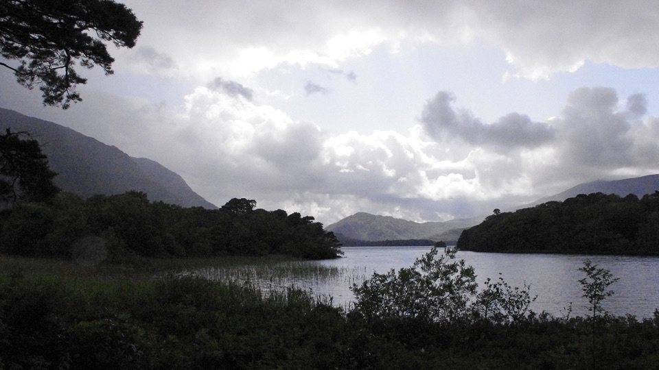 Beach · 0.7 km awayDundag Point and BeachA lakeshore walk rewards curious eyes with fossils and mountain views.
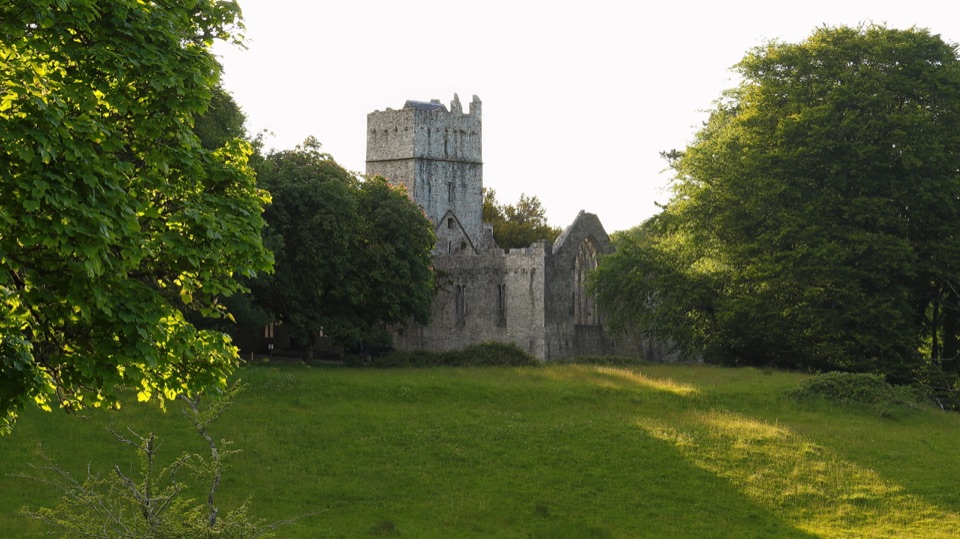 Sight · 1.1 km awayMuckross AbbeyA vaulted cloister circles a yew at the heart of these ruins.
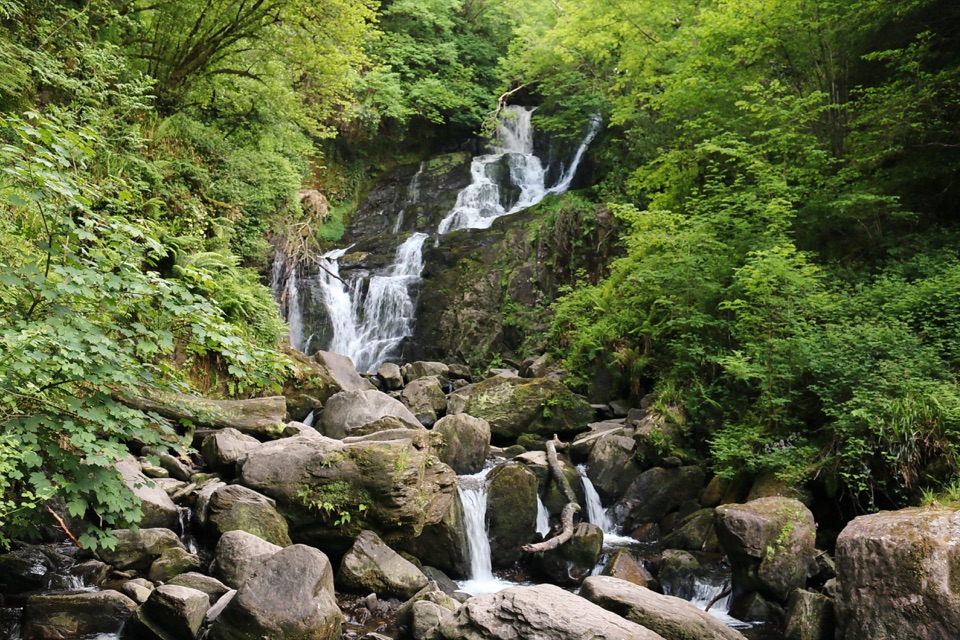 Sight · 1.7 km awayTorc WaterfallA quick cascade stop that gets better after rain.
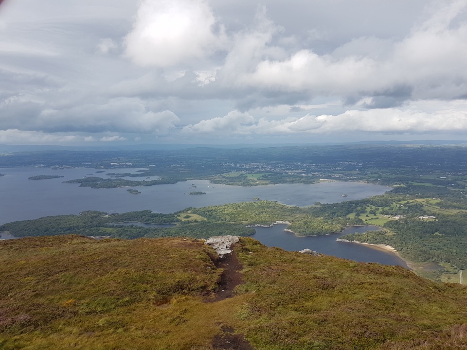 Sight · 2.5 km awayTorc Mountain SummitA 535 m summit over island-dotted lakes and MacGillycuddy’s Reeks.
Parkwolf’s Killarney ranking

The audio tour guide for the drive, plus offline maps, trails, and wildlife heatmaps for when the signal drops.