Parking
The Jaunting Car Park is opposite Killarney National Park’s gated entrance on the N71, about 5.5 km from Killarney town. Walk through the gate; the start is just past the gate lodge on your right.
Killarney National Park, KY
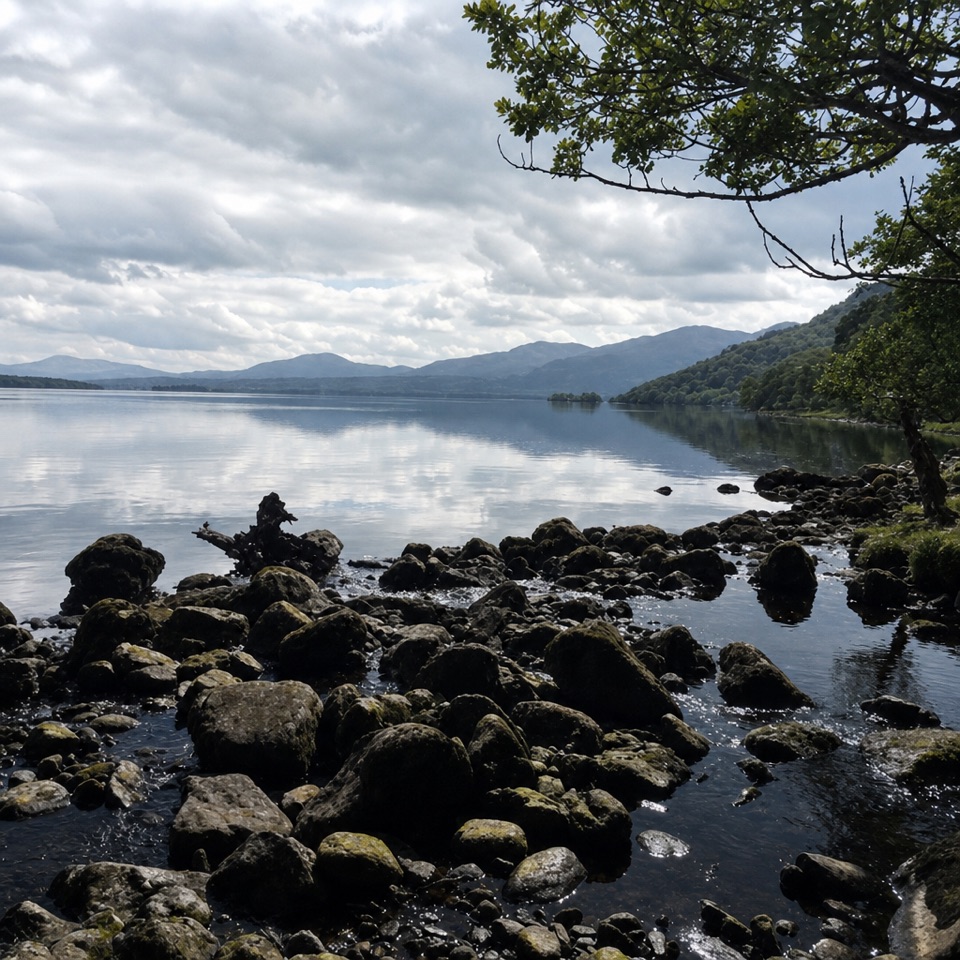
An easy, rough 5 km return beside Lough Leane.
Overview
Map & elevation
Plan your hike

The highest, rockiest slopes around here are a summer buffet for grizzly bears.
Killarney Tour Guide
Parkwolf is a GPS audio tour guide for Killarney National Park. As you drive, it chimes in with what’s ahead: hidden gems, upcoming stops, history, geology, and wildlife, right through your car’s speakers.
Recorded for this trailhead
Muckross Abbey“You're approaching the park entrance for the walk to Muckross Abbey. A short walk from the roadside parking brings you to this fifteenth-century Franciscan friary.”
Plays as you drive up to this trailhead in the Parkwolf Killarney Tour Guide.
More stories near here in the app
“Fantastic app with many points of information… It’s great to just turn on while you’re driving and it gives you an audio tour of the national Park. We love it!!!!”


Trail guide
Lakeside Walk is an easy 5 km out-and-back from Killarney National Park’s main N71 gate to Muckross House. It follows a rough, meandering trail beside Lough Leane. This is a good choice when you want lake views without a strenuous hike, though the ground is uneven in places. Allow about 1.5 hours for the walk itself, plus time for stops.
Park at the Jaunting Car Park opposite the gated entrance on the N71, about 5.5 km from Killarney town. Walk through the main gate; the trail starts just past the gate lodge on your right. Follow the path to Muckross House, then retrace it to the entrance. The park’s 5 km figure is the full return trip.
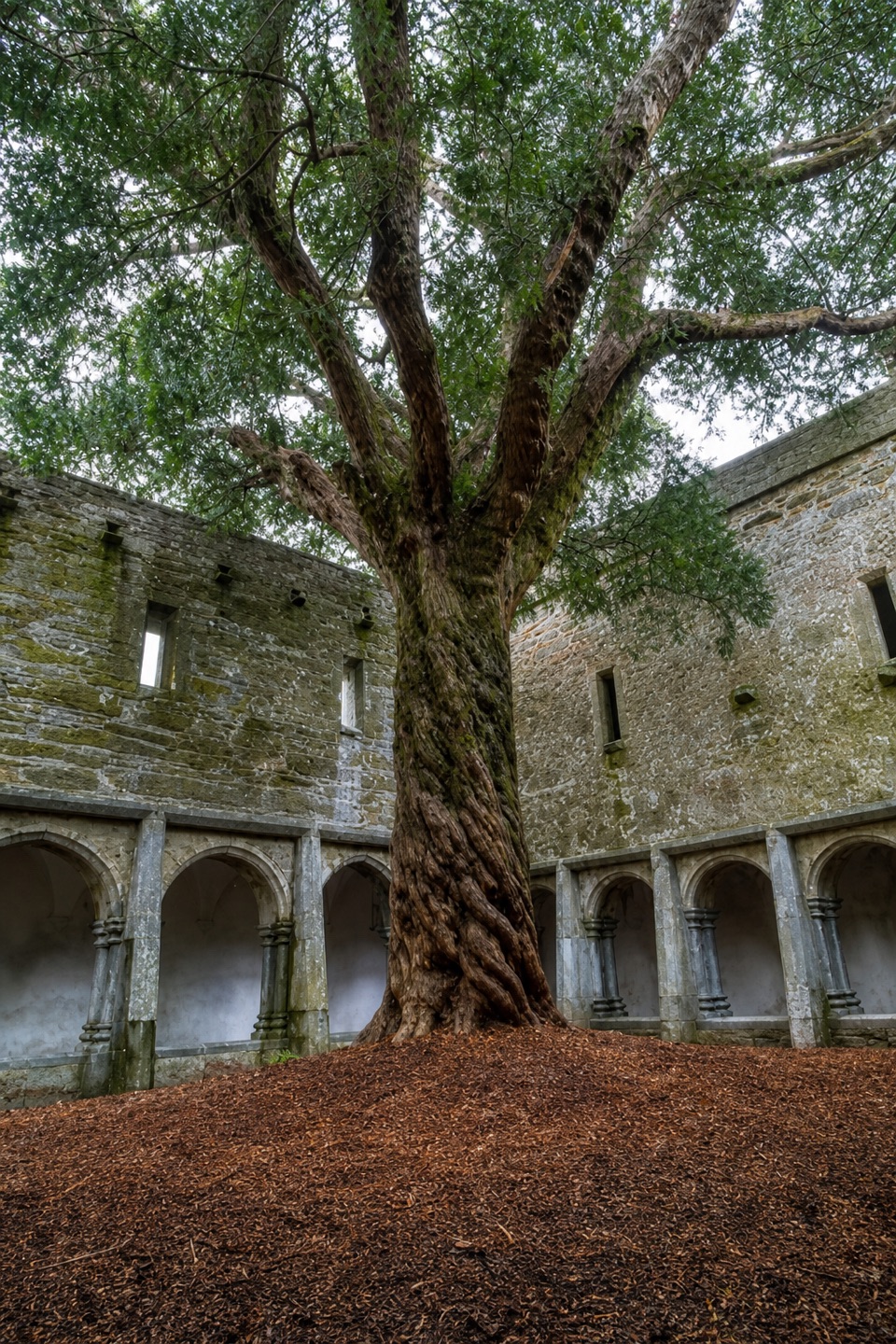
Muckross Abbey is an optional stop along the route. The Franciscan friary was founded in 1448 with the support of Gaelic chieftain Donal McCarthy Mor. Its cloister is built around a mature yew that may be up to 400 years old; a 1756 account by Charles Smith already remarked on its height. Inside the courtyard, frame the tree with some of the stone arches so the photo shows both the yew and the cloister around it.
The house is the walk’s turnaround, with views of Lough Leane along the way. The rough, meandering surface is the main tradeoff on an otherwise easy route. Take the Abbey detour if you want the history; otherwise continue to the house and return the way you came.
Wildlife
 104 sightingsRed DeerMost seen around 7 AMSighting map
 207 sightingsSika DeerMost seen around 7 AMSighting map
 12 sightingsFeral GoatMost seen around 6 PMSighting map
 49 sightingsSwanMost seen around 7 AMSighting map
 48 sightingsHeronMost seen around 5 PMSighting map
 15 sightingsCormorantMost seen around 8 AMSighting map
Sighting maps show where each species has been reported across Killarney. Wildlife moves, so no sighting is guaranteed.
Keep exploring
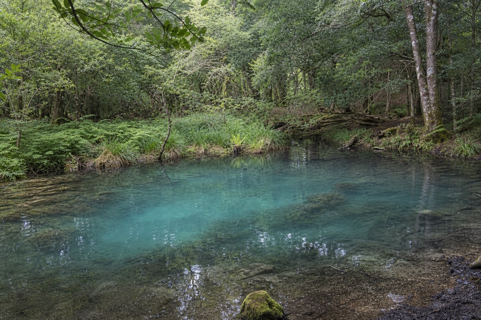 EasyBlue Pool Woodland Nature Trail2.6 km · 45 min · 1.1 km awayA quiet woodland loop with a signed spur to the Blue Pool
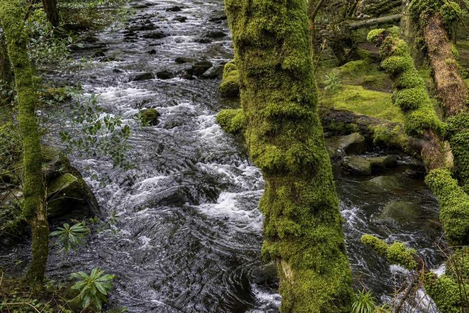 ModerateKillegy Woods and Queen’s Drive3 km · 1 hr · 1.1 km awayA short forest circuit with a good chance of seeing red deer.
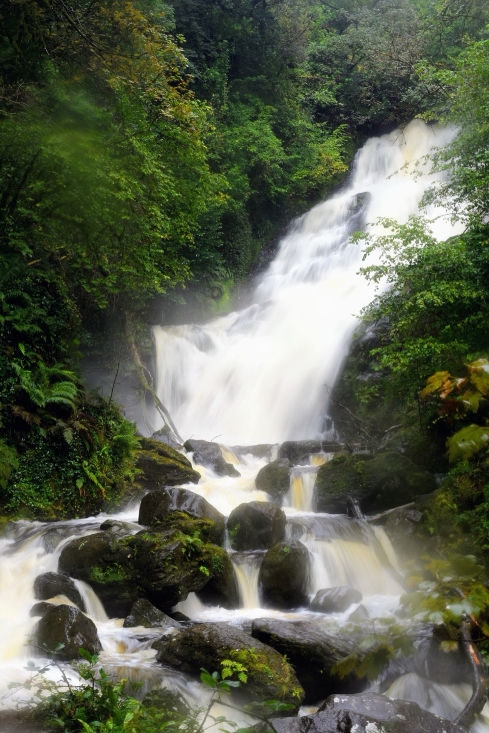 ModerateMuckross House to Torc Waterfall Loop6 km · 2 hr · 1.9 km awayLake views first, a forest climb, then Torc's full cascade.
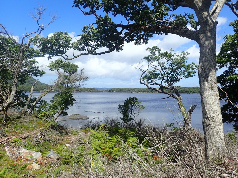 ModerateMuckross Lake Loop10 km · 4 hr · 1.9 km awayA lake loop through yew woods to a historic cottage.
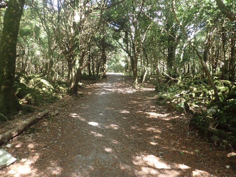 ModerateArthur Young’s Walk5.6 km · 2.3 hr · 1.9 km awayA mostly flat woodland walk between two lakes and rare yews.
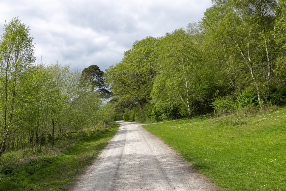 ModerateMossy Woods Walk2 km · 45 min · 1.9 km awayA short woodland path to views across Muckross Lake.
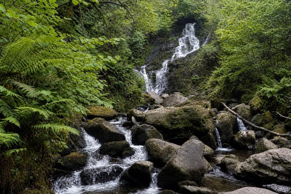 ModerateKerry Way: Killarney to Black Valley Stage22 km · 7.5 hr · 2 km awayA long through-hike past Torc Waterfall to Black Valley.
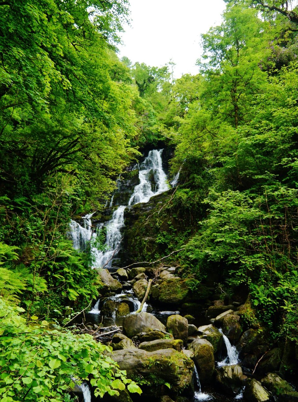 EasyDundag to Torc Path3.2 km · 1.3 hr · 2.4 km awayLake views and deer on an easy walk to Torc Waterfall.
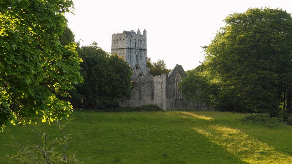 Sight · 0.8 km awayMuckross AbbeyA vaulted cloister circles a yew at the heart of these ruins.
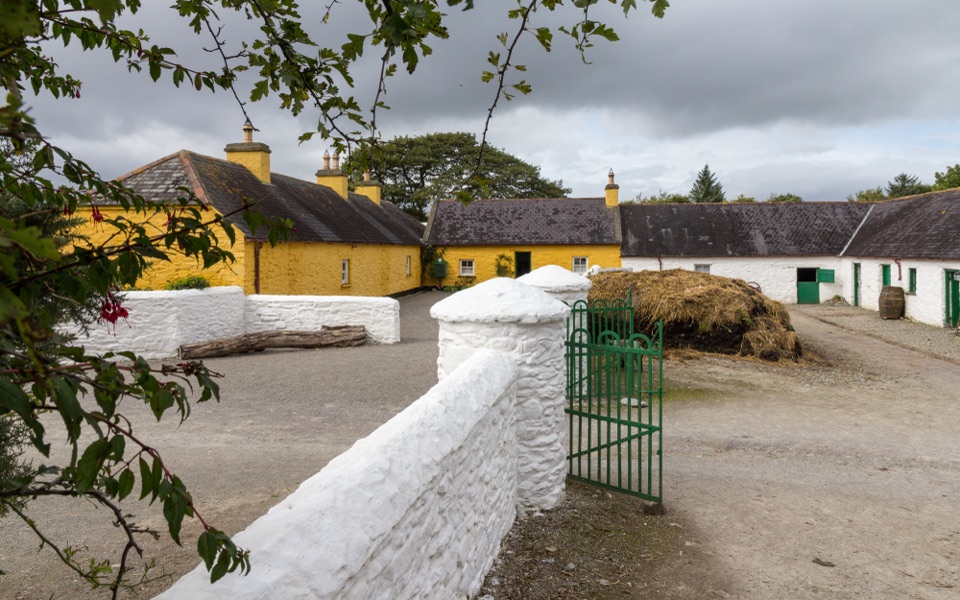 Sight · 1.6 km awayMuckross Traditional FarmsThree farmsteads make pre-electric rural life tangible.
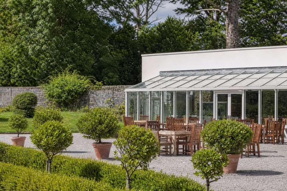 Restaurant · 1.8 km awayMuckross Garden RestaurantA conservatory lunch with Torc and Mangerton beyond the gardens
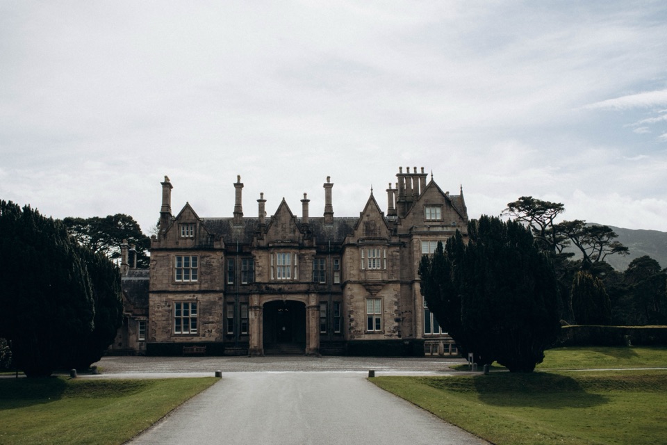 Sight · 1.9 km awayMuckross House and GardensPeriod rooms, free gardens, and lake walks make an easy half-day.
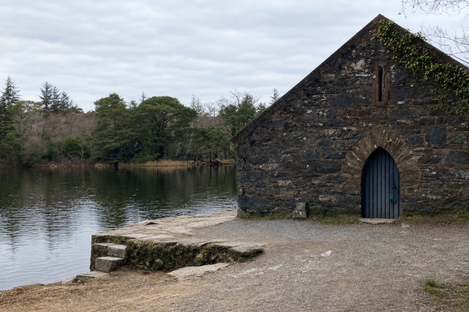 Sight · 2.4 km awayMuckross Old Boathouse and Dundag PierBoat trips start here for Dinis and the Meeting of the Waters
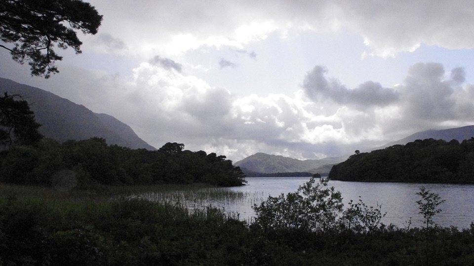 Beach · 2.6 km awayDundag Point and BeachA lakeshore walk rewards curious eyes with fossils and mountain views.
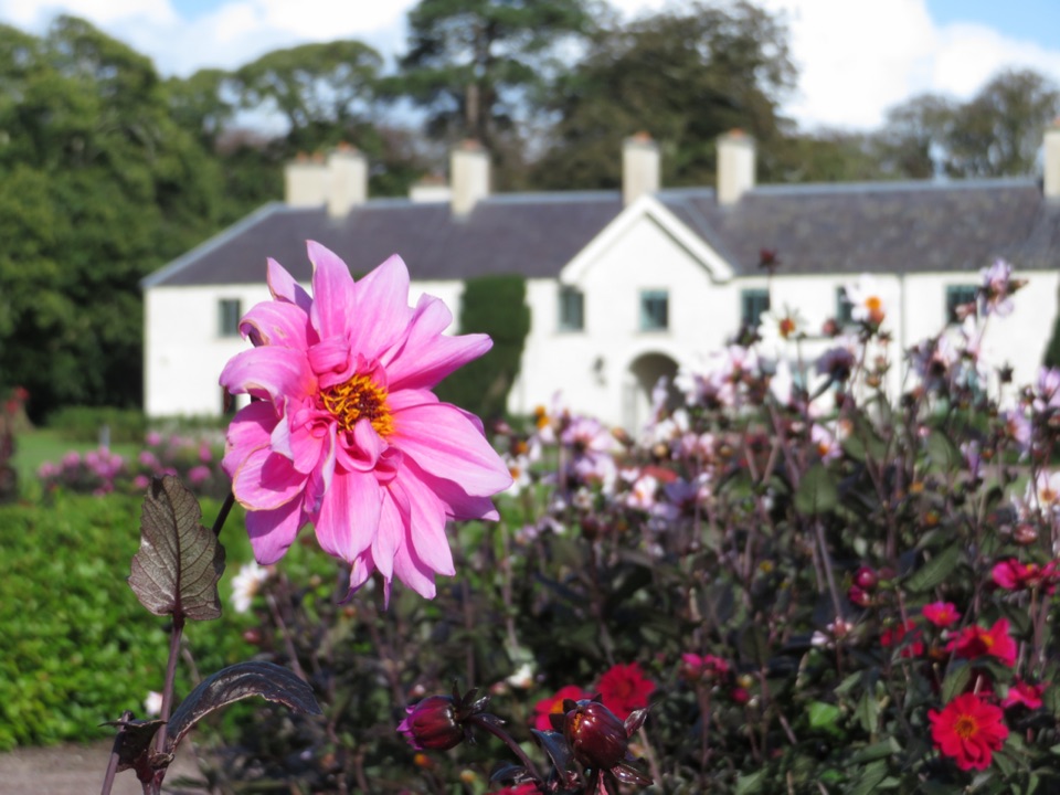 Sight · 2.9 km awayKillarney House and GardensA free park exhibition and formal gardens at Killarney's town edge.
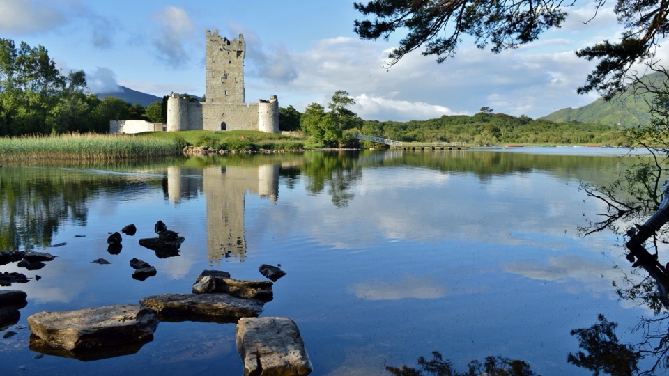 Sight · 2.9 km awayRoss CastleA lakeside castle with a siege story that came by boat.
Parkwolf’s Killarney ranking

The audio tour guide for the drive, plus offline maps, trails, and wildlife heatmaps for when the signal drops.