Parking
Start at the small car park opposite Kate Kearney’s Cottage. Capacity estimates are around ten spaces, though they vary; check posted local arrangements.
#5 of 29 trails in Killarney
Killarney National Park, KY
A hard circuit over Tomies, Purple Mountain, and the Gap
Overview
Tomies and Purple Mountain Loop is a 9.7-mile mountain circuit from the car park opposite Kate Kearney’s Cottage. It follows the Gap of Dunloe road to the Head of the Gap, climbs by Glas Lough to Purple Mountain, then crosses the ridge over Tomies Mountain and drops back to the cottage. Plan on about 900 metres of total climbing and roughly 5 hours 45 minutes. This is a full hill day for fit walkers who can navigate without waymarks; the two summits and views across Killarney make the effort worthwhile.
 Parkwolf’s verdictIs this the hike for you?
Map & elevation
Plan your hike

The highest, rockiest slopes around here are a summer buffet for grizzly bears.
Killarney Tour Guide
Parkwolf is a GPS audio tour guide for Killarney National Park. As you drive, it chimes in with what’s ahead: hidden gems, upcoming stops, history, geology, and wildlife, right through your car’s speakers.
Recorded for this area
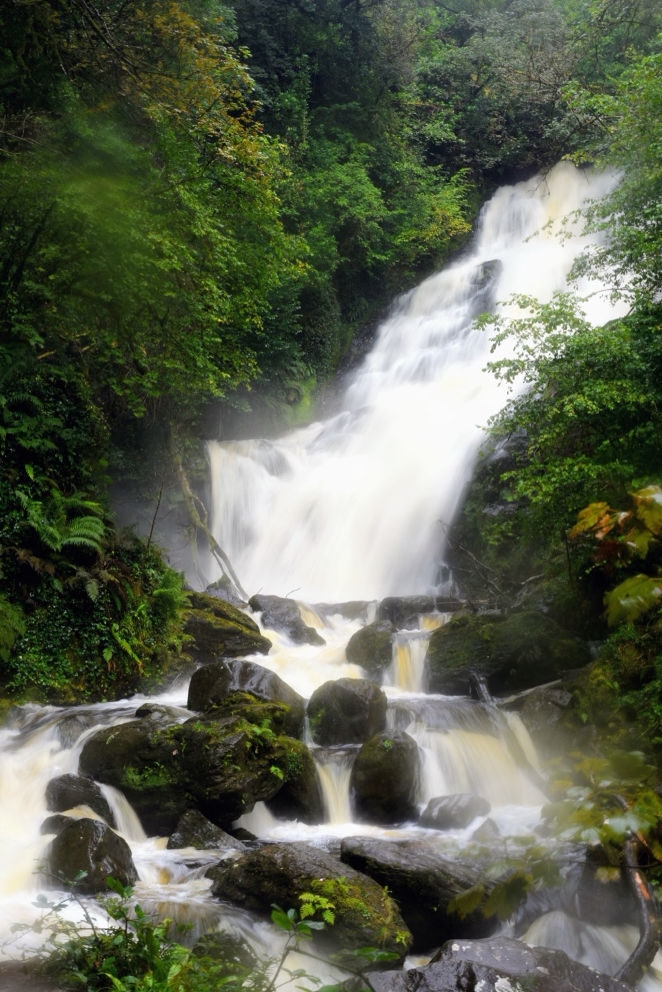
Tomies Wood and O'Sullivan's Cascade“You're approaching Tomies Wood, where a woodland walk leads to O'Sullivan's Cascade.”
Plays on the road 2 km from the trailhead in the Parkwolf Killarney Tour Guide.
More stories near here in the app
“Fantastic app with many points of information… It’s great to just turn on while you’re driving and it gives you an audio tour of the national Park. We love it!!!!”


Trail guide
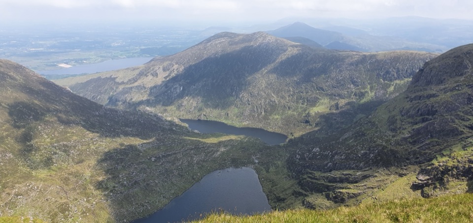
The first part is about 5 km on the road through the Gap of Dunloe. Black Lake, Cushnavally Lake, Auger Lake and Black Lough sit along this glacial pass. Walkers share the narrow road with jaunting cars, especially in summer, so it feels more like an approach than a wilderness path. At the Head of the Gap, leave the road and follow the stream’s left side uphill toward Glas Lough, a useful place to stop before the harder climb.
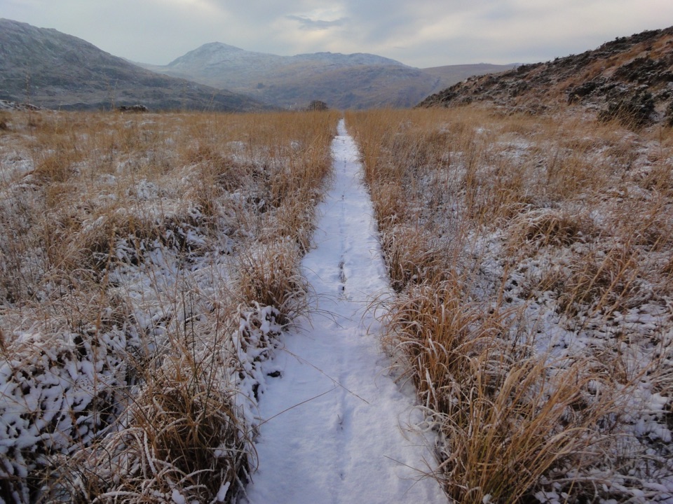
Glas Lough sits around 500 metres. From there the route turns east and then north across open, increasingly steep ground to the 793-metre top and the 832-metre summit of Purple Mountain. Tracks are faint across loose sandstone and heather, and this upper section isn’t waymarked. In low cloud, the different lines are easy to confuse, so use a map with a compass or a GPS track; don’t rely on a visible path staying obvious.
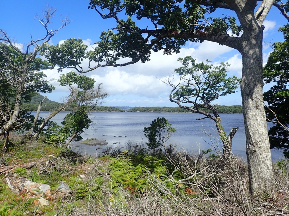
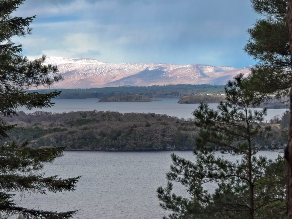
On a clear day, look east over Lough Leane and the Killarney lakes, then west down the Gap toward the MacGillycuddy’s Reeks and the Black Valley. Beara is visible farther south in good visibility. If you’re taking a photo, make time to turn around at the summit: the lake view and the Reeks are on opposite sides of the ridge.
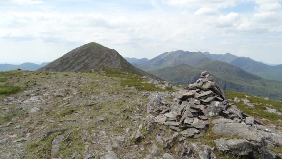
From Purple, continue northeast over the lower 757-metre top to Tomies Mountain, marked by a large cairn and stone enclosure. The descent toward Tomies Rock is rougher: expect heather, loose scree and a few awkward steps. The described return crosses fenced ground by a small mound, a green-roofed barn, a path and gates before reaching the road back to the cottage. This is the route’s least straightforward section.
Purple Mountain is built from Old Red Sandstone, which can take on a purple-red cast in lower morning or evening light. The lower slopes also hold pockets of oak woodland. Place-name scholar Paul Tempan traces the Irish name Tuamaidhe to two burial cairns on the summit; older maps used Tomies for the whole massif before the English name Purple Mountain became attached to its higher peak.
This is a published hillwalk, not a maintained or waymarked park trail. Its Tomies-side return uses field fences and gates, and public access across those gates is uncertain. Confirm local arrangements before setting out; don’t assume a gate alone means the route is open to walkers. The upper ridge is exposed; afternoon cloud can make navigation harder, while winter conditions can bring ice and strong wind. There’s no confirmed safe drinking-water source on the mountain, and dog access is unclear, so check the local rule before bringing a dog.
Start at the car park opposite Kate Kearney’s Cottage. The small car park is commonly estimated at about ten spaces, though estimates vary; check posted local arrangements. The cottage has a café with hot food and toilets; there are no confirmed facilities on the mountain. If you want Purple Mountain without the full circuit, the direct climb from the Head of the Gap is about 7 km round trip and leaves out Tomies and the road loop. It’s still a steep summit hike.
Wildlife
 104 sightingsRed DeerMost seen around 7 AMSighting map
 207 sightingsSika DeerMost seen around 7 AMSighting map
 12 sightingsFeral GoatMost seen around 6 PMSighting map
 49 sightingsSwanMost seen around 7 AMSighting map
 48 sightingsHeronMost seen around 5 PMSighting map
 15 sightingsCormorantMost seen around 8 AMSighting map
Sighting maps show where each species has been reported across Killarney. Wildlife moves, so no sighting is guaranteed.
Keep exploring
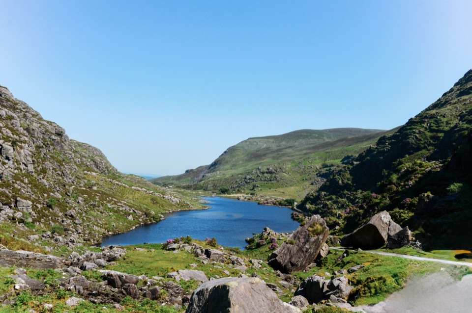 ModerateGap of Dunloe Walk11.2 km · 3.5 hr · At the trailheadA narrow road strings five glacial lakes through a mountain pass.
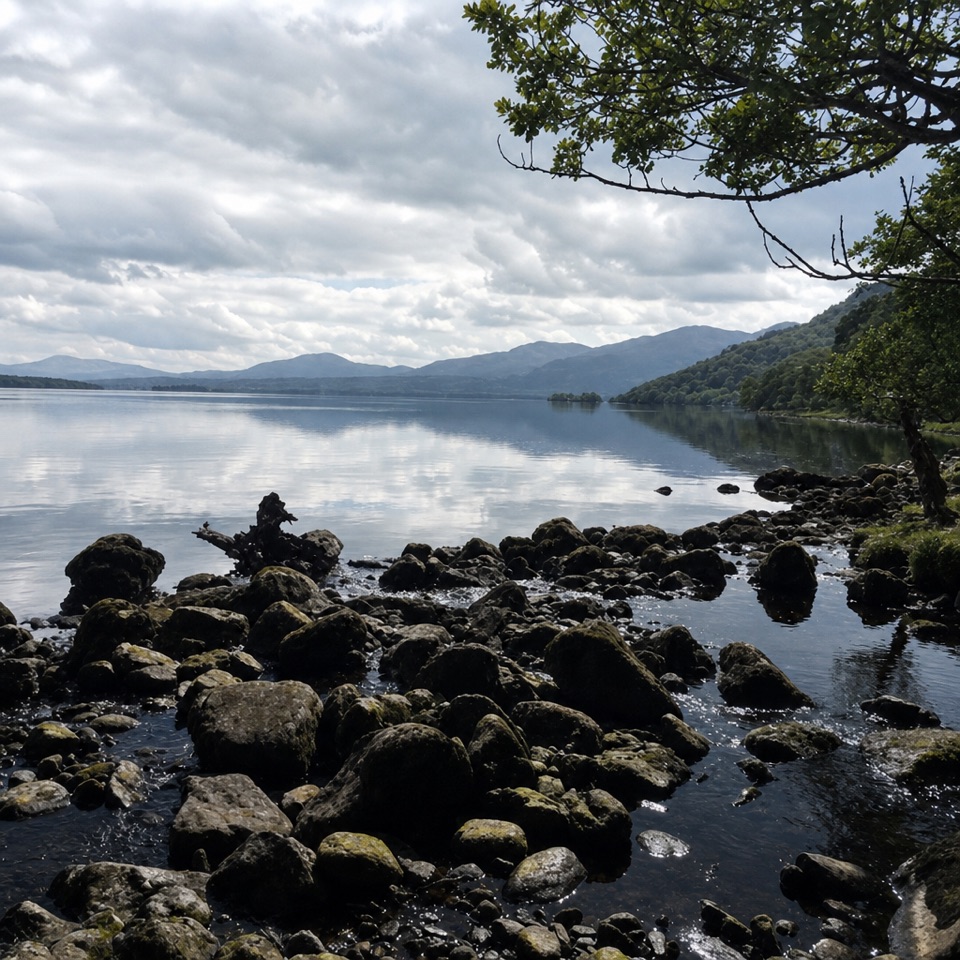 ModerateTomies Wood Loop6.5 km · 2.3 hr · 2 km awayA wooded loop earns its lake views with one steady climb.
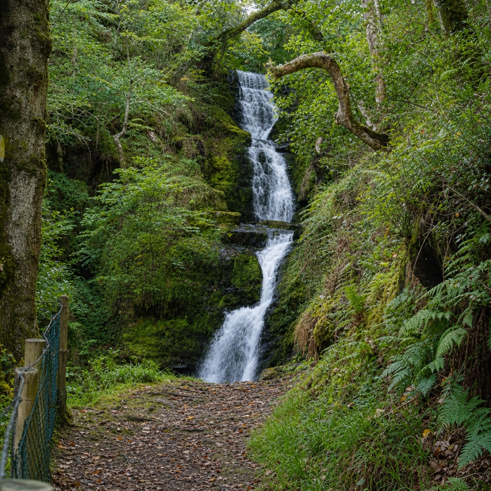 ModerateO’Sullivan’s Cascade Trail3.8 km · 1.3 hr · 2 km awayA mossy woodland cascade at the end of a short, stepped walk.
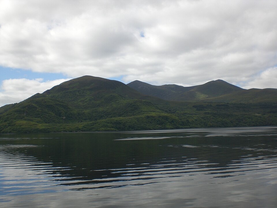 EasyGovernor’s Rock Loop3.1 km · 1 hr · 6.9 km awayOld copper mines and a lake view from a fenced cliff.
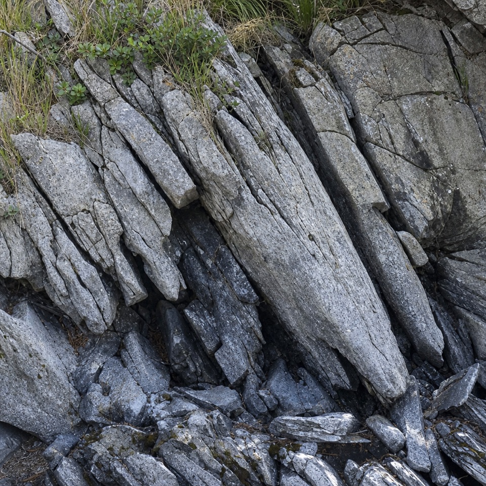 EasyLibrary Point Trail4.8 km · 1.8 hr · 7 km awayA wooded Ross Island walk to a book-like limestone shoreline.
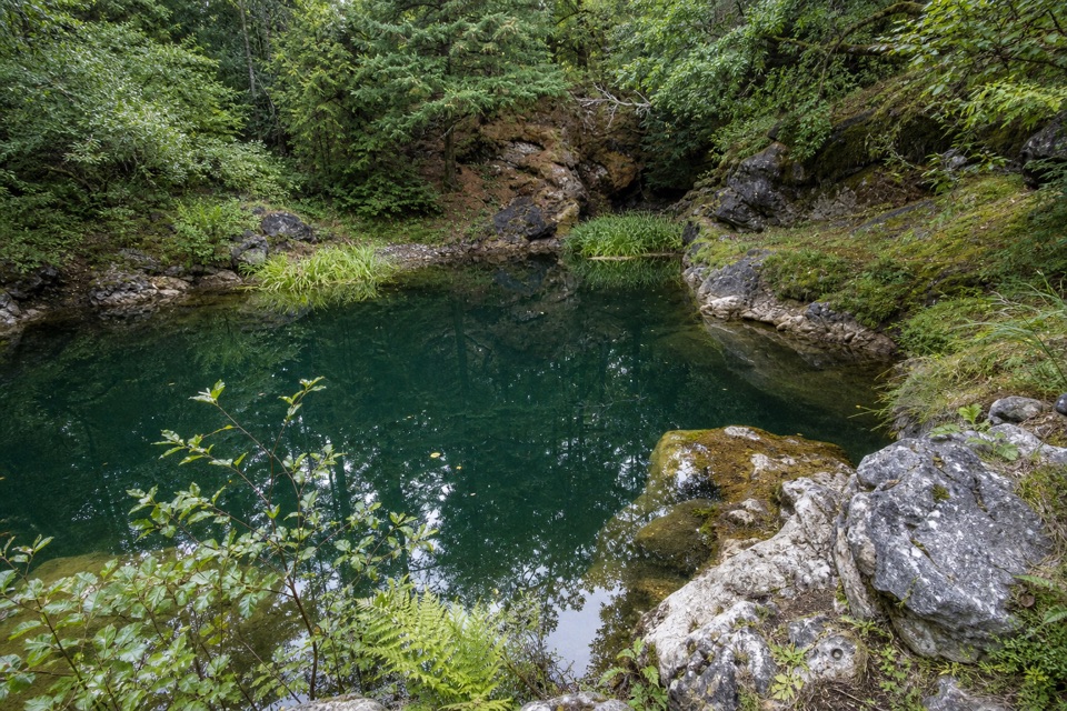 EasyRoss Island Mining Trail3 km · 1 hr · 7 km awayA gentle woodland loop to Ross Island’s prehistoric copper workings.
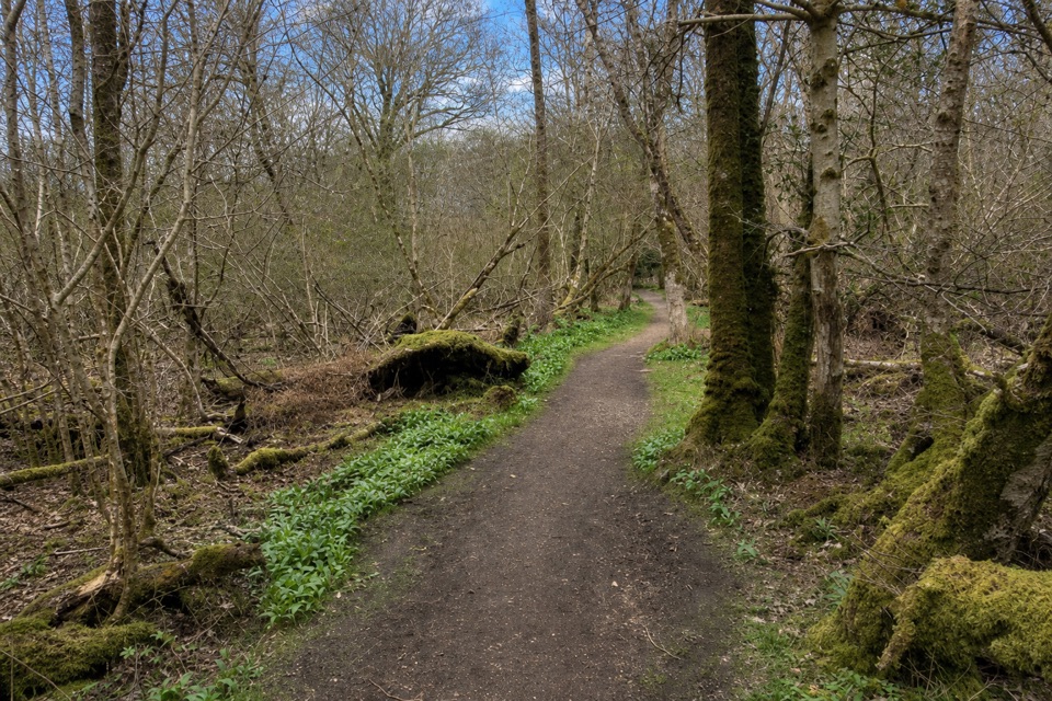 EasyRoss Island Loop5.8 km · 1.8 hr · 7 km awayWoodland tracks, old copper workings, and lake views make an easy circuit.
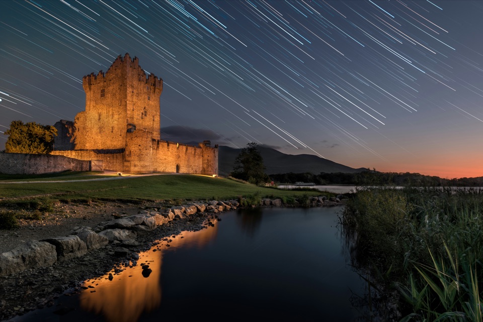 EasyRiver Walk and Ross Castle Loop8 km · 2.5 hr · 7.9 km awayParkland, riverside paths and Ross Castle on a gentle 8 km loop.
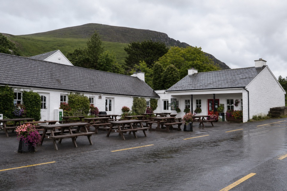 Restaurant · At the trailheadKate Kearney’s CottageA historic pub and cottage at the Gap of Dunloe’s entrance
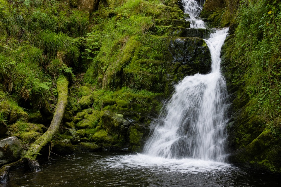 Sight · 3.4 km awayO’Sullivan’s CascadeA woodland waterfall reached by a steep, signed spur.
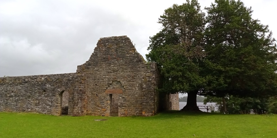 Sight · 5.4 km awayInnisfallen Island and AbbeyA quiet island of medieval ruins, reached across Lough Leane.
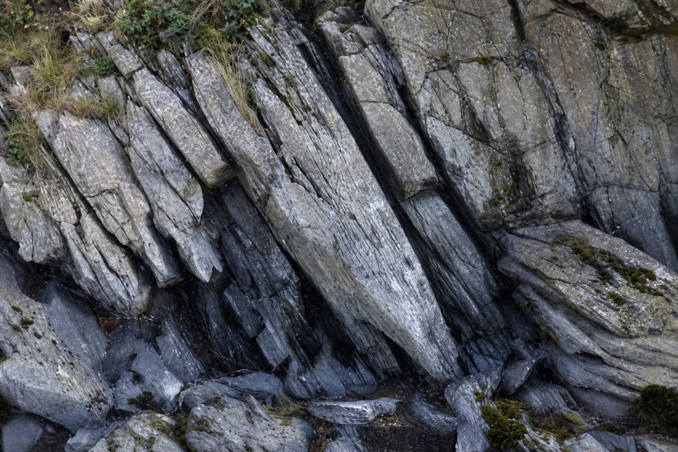 Sight · 5.9 km awayLibrary PointA book-like rock formation at the end of a lakeshore walk.
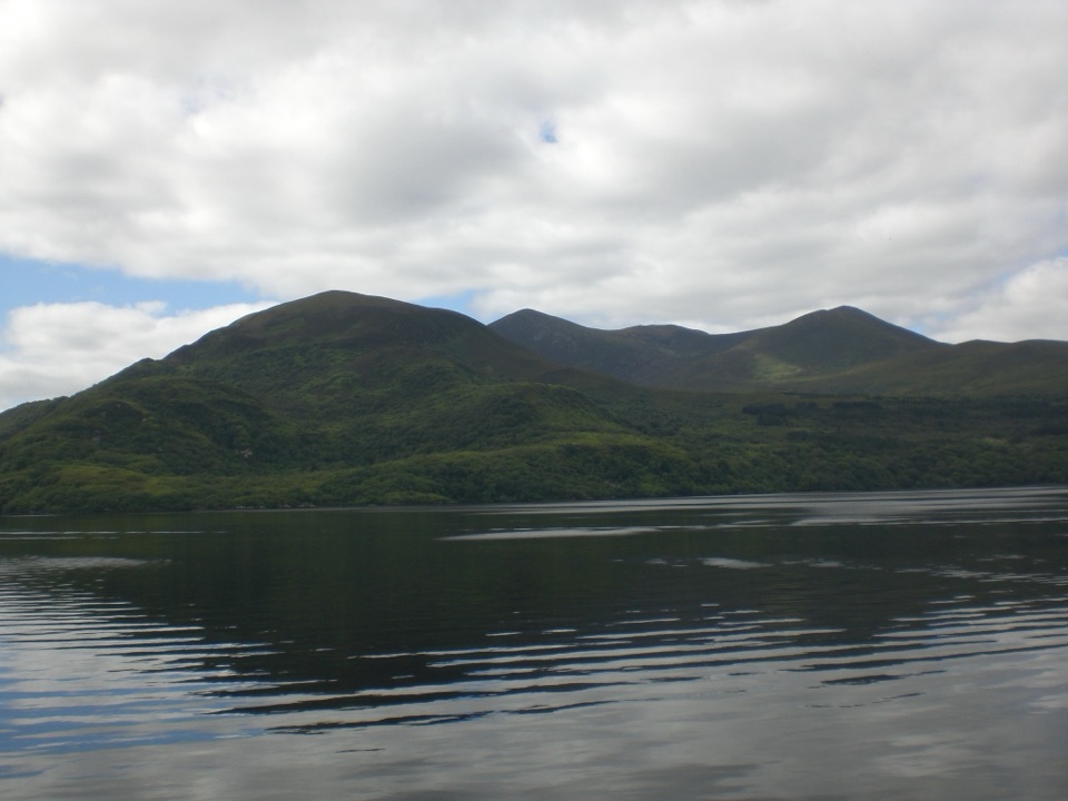 Sight · 6 km awayGovernor’s RockLough Leane views and the Copper Mines on an easy island walk.
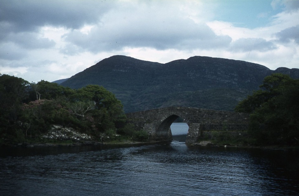 Sight · 6.4 km awayBrickeen BridgeA single stone arch between Muckross Peninsula and Brickeen Island.
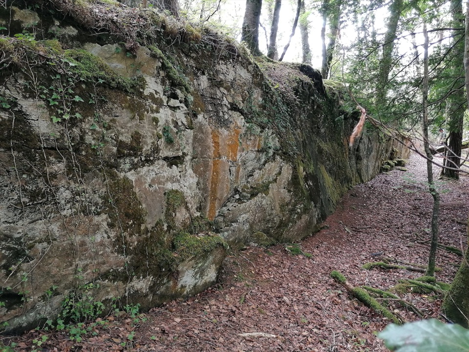 Sight · 6.5 km awayRoss Island Copper MinesA 3 km lakeshore walk past Bronze Age copper workings.
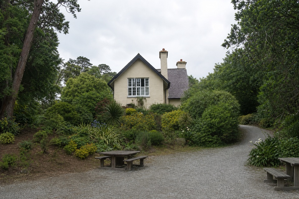 Food · 6.6 km awayDinis CottageA seasonal tea room in a 1700s cottage beside Muckross Lake.
Parkwolf’s Killarney ranking
The audio tour guide for the drive, plus offline maps, trails, and wildlife heatmaps for when the signal drops.