Parking
Start at Tomies Wood car park on the access road by the west shore of Lough Leane. The lot has about 28 spaces; when it is full, the walk from the barrier to the woods adds roughly 10–15 minutes.

#3 of 29 trails in Killarney
Killarney National Park, KY
A wooded loop earns its lake views with one steady climb.
Overview
Map & elevation
Plan your hike

The highest, rockiest slopes around here are a summer buffet for grizzly bears.
Killarney Tour Guide
Parkwolf is a GPS audio tour guide for Killarney National Park. As you drive, it chimes in with what’s ahead: hidden gems, upcoming stops, history, geology, and wildlife, right through your car’s speakers.
Recorded for this trailhead
Tomies Wood and O'Sullivan's Cascade“You're approaching Tomies Wood, where a woodland walk leads to O'Sullivan's Cascade.”
Plays as you drive up to this trailhead in the Parkwolf Killarney Tour Guide.
More stories near here in the app
“Fantastic app with many points of information… It’s great to just turn on while you’re driving and it gives you an audio tour of the national Park. We love it!!!!”


Trail guide
Tomies Wood Loop is a 4.05-mile (6.5 km) circuit through oak woodland above the western shore of Lough Leane. The full loop starts and finishes at Tomies Wood car park and usually takes about two to two and a half hours. The separate O’Sullivan’s Cascade spur is not included in that distance; it adds roughly 3 km (1.9 miles) there and back. Do the circuit if you want a proper woodland walk with a high lakeside view. The shorter Cascade walk is the better choice if the waterfall is your main goal and you don’t want the whole loop.
The trail is moderate rather than flat: it has a short steep climb, rolling ground, and rough, stony stretches. Most of it follows broad woodland tracks, but the stones can feel tiring underfoot and the route gets muddy after heavy rain. The Cascade descent is a separate effort spike, with a long flight of steps to climb back up.
About 200 m after leaving the car park, the track divides. Take the right-hand, higher road for the anticlockwise circuit. It climbs sharply at first, then eases around 1.5 km in. The other branch is lower and reaches the Cascade access; the two sides join to make the same loop. Either way works, but the higher side gives you the main views earlier, while you still have time to stop at the footbridge and take them in.
The higher track winds beneath oak and holly, with young pine, ferns, and heather on the more open hillside. Near the far side, around 3 km in, the way turns back into the trees. It is stonier here, so watch your footing rather than expecting a smooth forest road. A second bridge is around 5 km into the circuit; after it, the last kilometre rolls through woodland to the car park.
The first bridge sits near the high point. When the trees open, you can look across Lough Leane toward Killarney town and Ross Castle, with Tomies, Shehy, and Purple Mountain behind them. The lake and the ridgeline give the loop its payoff after the climb. Pause before heading downhill; the view is easy to miss if you focus only on getting around the circuit.
A signed side path from the lower road leads down to the waterfall and the lake shore. The steps are steep, and the return means climbing roughly 130 of them. They can be slippery after rain. Allow roughly 45 minutes to two hours for the about-3-km return, depending on pace and how long you stay by the water. The cascade runs into Lough Leane; local folklore says it once flowed with whiskey. That is a story, not a historical claim. The cascade can also be reached as a short out-and-back from the car park, without doing the full circuit.
Sessile oak and holly are the main woodland trees, with pine on the upper track. The woods grow on acidic red sandstone soils; mossy rocks and small pools make the shaded sections feel very different from the open hillside. Spring pools and autumn fungi are worth noticing when they appear. Red deer, red squirrels, and pine martens live in the wider woodland, though sightings are never guaranteed. The story of Tomies Mountain is tied to Fionn MacCumhaill and the Fianna in local folklore.
Tomies Wood car park is the start of the loop. It is small, with about 28 spaces; when it fills, the walk from the access barrier to the woods can add 10 to 15 minutes. Tomie’s Tea Bean beside the car park is a separate stop for coffee and cake. Dogs are welcome in Killarney National Park but must stay on a lead. The car park and café hours were not verified, so check locally before planning around them.
Wildlife
 106 sightingsRed DeerMost seen around 7 AMSighting map
 209 sightingsSika DeerMost seen around 7 AMSighting map
 12 sightingsFeral GoatMost seen around 6 PMSighting map
 49 sightingsSwanMost seen around 7 AMSighting map
 48 sightingsHeronMost seen around 5 PMSighting map
 16 sightingsCormorantMost seen around 8 AMSighting map
Sighting maps show where each species has been reported across Killarney. Wildlife moves, so no sighting is guaranteed.
Keep exploring
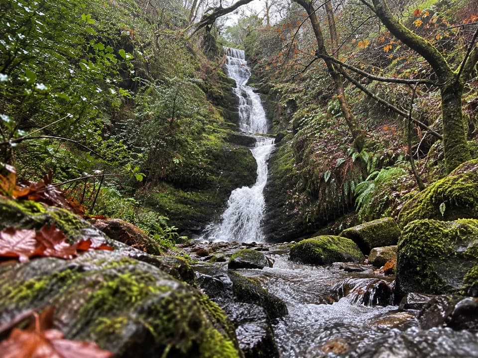 ModerateO’Sullivan’s Cascade Trail3.8 km · 1.3 hr · At the trailheadA mossy woodland cascade at the end of a short, stepped walk.
 ChallengingTomies and Purple Mountain Loop15.6 km · 5.8 hr · 2 km awayA hard circuit over Tomies, Purple Mountain, and the Gap
 ModerateGap of Dunloe Walk11.2 km · 3.5 hr · 2.1 km awayA narrow road strings five glacial lakes through a mountain pass.
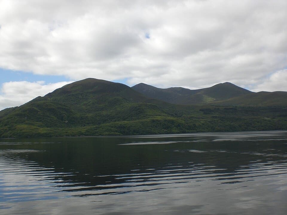 EasyGovernor’s Rock Loop3.1 km · 1 hr · 5 km awayOld copper mines and a lake view from a fenced cliff.
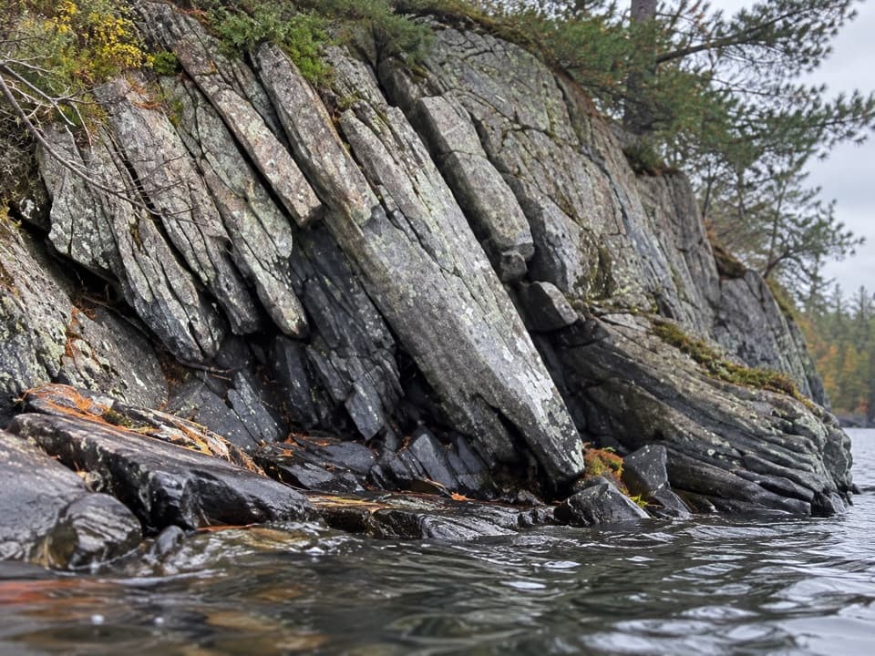 EasyLibrary Point Trail4.8 km · 1.8 hr · 5 km awayA wooded Ross Island walk to a book-like limestone shoreline.
 EasyRoss Island Mining Trail3 km · 1 hr · 5 km awayA gentle woodland loop to Ross Island’s prehistoric copper workings.
 EasyRoss Island Loop5.8 km · 1.8 hr · 5.1 km awayWoodland tracks, old copper workings, and lake views make an easy circuit.
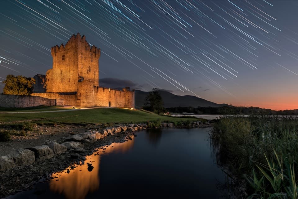 EasyRiver Walk and Ross Castle Loop8 km · 2.5 hr · 5.9 km awayParkland, riverside paths and Ross Castle on a gentle 8 km loop.
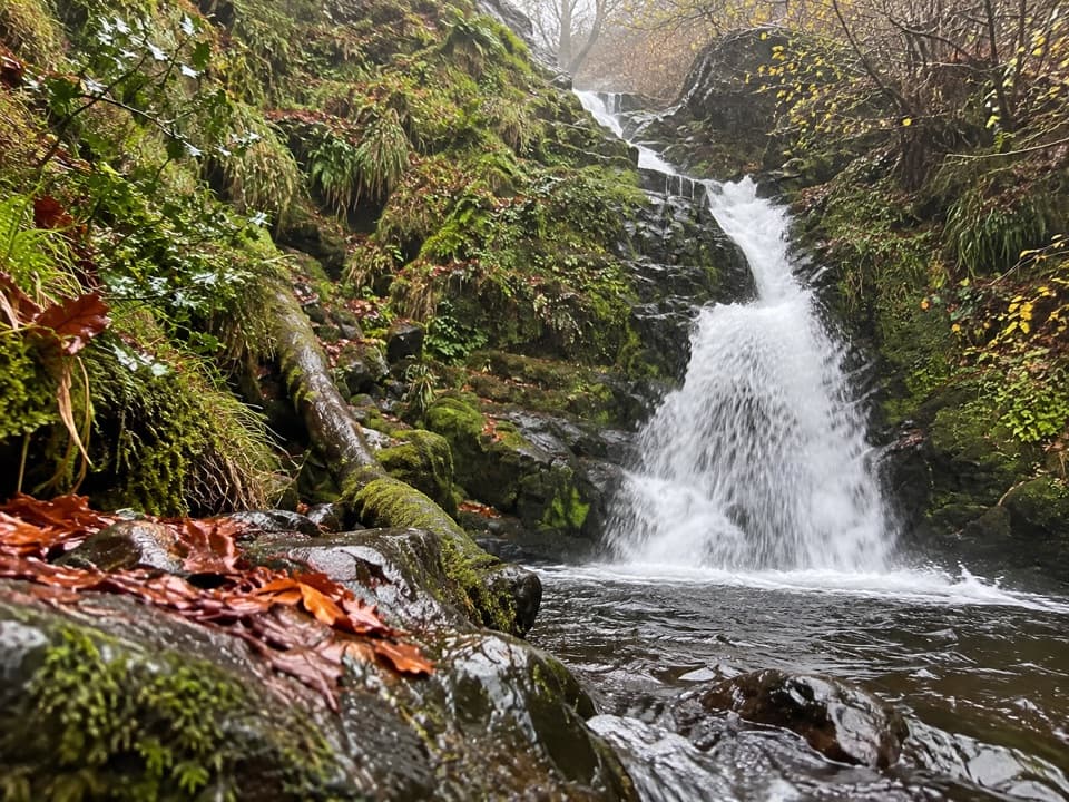 Sight · 1.6 km awayO’Sullivan’s CascadeA woodland waterfall reached by a steep, signed spur.
 Restaurant · 2 km awayKate Kearney’s CottageA historic pub and cottage at the Gap of Dunloe’s entrance
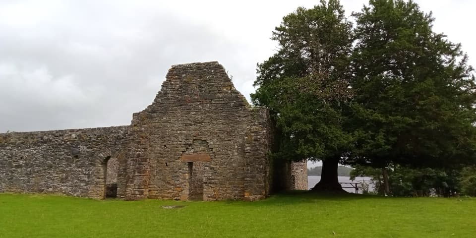 Sight · 3.3 km awayInnisfallen Island and AbbeyA quiet island of medieval ruins, reached across Lough Leane.
 Sight · 3.9 km awayLibrary PointA book-like rock formation at the end of a lakeshore walk.
 Sight · 4.1 km awayGovernor’s RockLough Leane views and the Copper Mines on an easy island walk.
 Sight · 4.6 km awayRoss Island Copper MinesA 3 km lakeshore walk past Bronze Age copper workings.
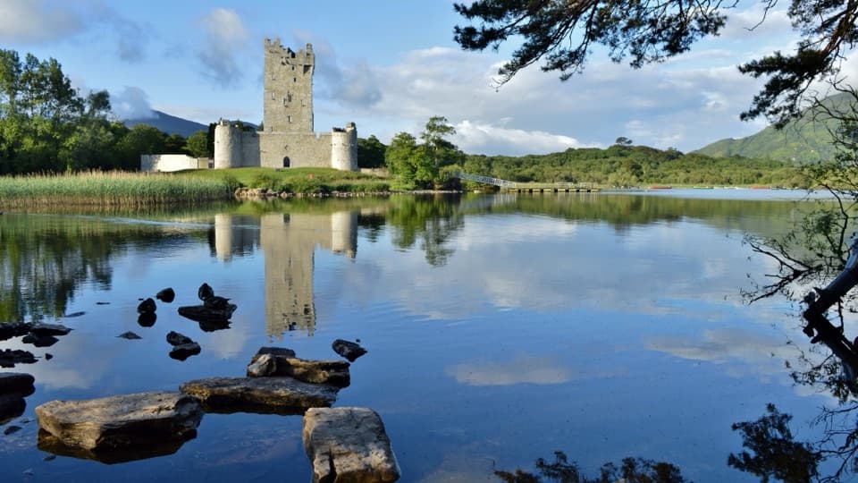 Sight · 4.9 km awayRoss CastleA lakeside castle with a siege story that came by boat.
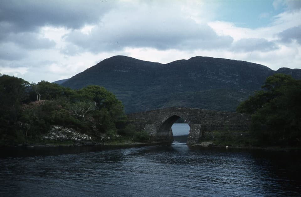 Sight · 5 km awayBrickeen BridgeA single stone arch between Muckross Peninsula and Brickeen Island.
Parkwolf’s Killarney ranking

The audio tour guide for the drive, plus offline maps, trails, and wildlife heatmaps for when the signal drops.