Parking
No roadside access or parking: the trail begins at a remote junction on the John Muir Trail, reached as part of a separate wilderness itinerary.
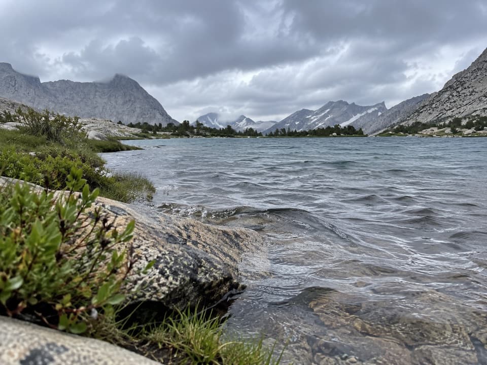
Kings Canyon National Park, CA
A faint high-basin spur for hikers already deep on the JMT.
Overview
Map & elevation
Plan your hike

The highest, rockiest slopes around here are a summer buffet for grizzly bears.
Kings Canyon Tour Guide
Parkwolf is a GPS audio tour guide for Kings Canyon National Park. As you drive, it chimes in with what’s ahead: hidden gems, upcoming stops, history, geology, and wildlife, right through your car’s speakers.
See the Kings Canyon audio tour“…The kids and my husband and I all agree that the narration really added to our experience driving through the parks. We learned so much about the history and the flora & fauna.”


Trail guide
Center Basin Trail is a 3.3-mile out-and-back spur from the John Muir Trail (JMT), climbing about 800 feet from roughly 10,470 feet to above 11,200 feet. Allow around three hours for the mapped section itself. It suits hikers already on a backcountry itinerary; reaching the junction takes a separate wilderness approach.
Coming south on the JMT from Bubbs Creek, look for the Center Basin turn near a meadow view down to the creek. The junction has been described between two cairn-marked trees. A campsite spur with a bear box about 20 feet south can look like the turn, so pause and check before leaving the JMT.
The mapped path heads east and southeast across high ground into the basin, with granite peaks and alpine water as the payoff. Tread is faint in places. The mapped line stops before the uncertain, marshy continuation toward Golden Bear Lake; that distance and the old Junction Pass route are not included. Don’t count on a maintained trail past the mapped end.
There is no road or parking at this junction. Reach it as part of a separate John Muir Trail wilderness trip. Overnight stays outside designated campgrounds require a wilderness permit, and pets are prohibited on park trails.
Wildlife
 227 sightingsBlack BearMost seen around 7 PMSighting map
 385 sightingsMule DeerMost seen around 7 PMSighting map
 188 sightingsMarmotMost seen around 8 AMSighting map
 118 sightingsPikaMost seen around 7 AMSighting map
 14 sightingsGolden TroutMost seen around 7 PMSighting map
 32 sightingsRainbow TroutMost seen around 7 PMSighting map
Sighting maps show where each species has been reported across Kings Canyon. Wildlife moves, so no sighting is guaranteed.
Keep exploring
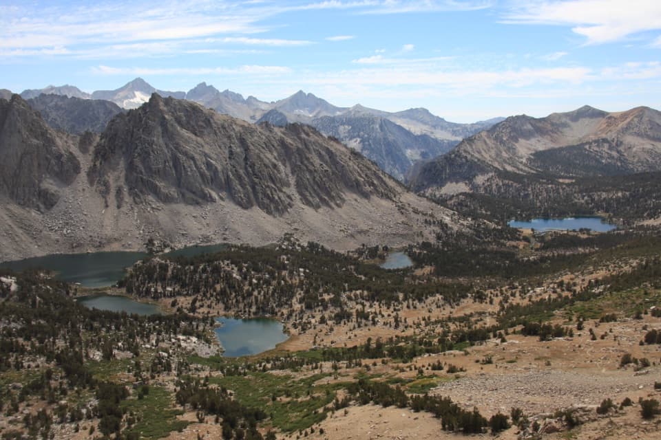 ChallengingKearsarge Pass Trail9.4 mi · 6 hr · 3.3 mi awayThree lakes, then a high pass with Kings Canyon at your feet.
 ChallengingKearsarge Lakes Trail12.5 mi · 8 hr · 3.3 mi awayCross Kearsarge Pass for three lakes beneath granite pinnacles
 ChallengingCharlotte Lake Trail17.2 mi · 12 hr · 3.3 mi awayReach an alpine lake beyond an 11,800-foot pass.
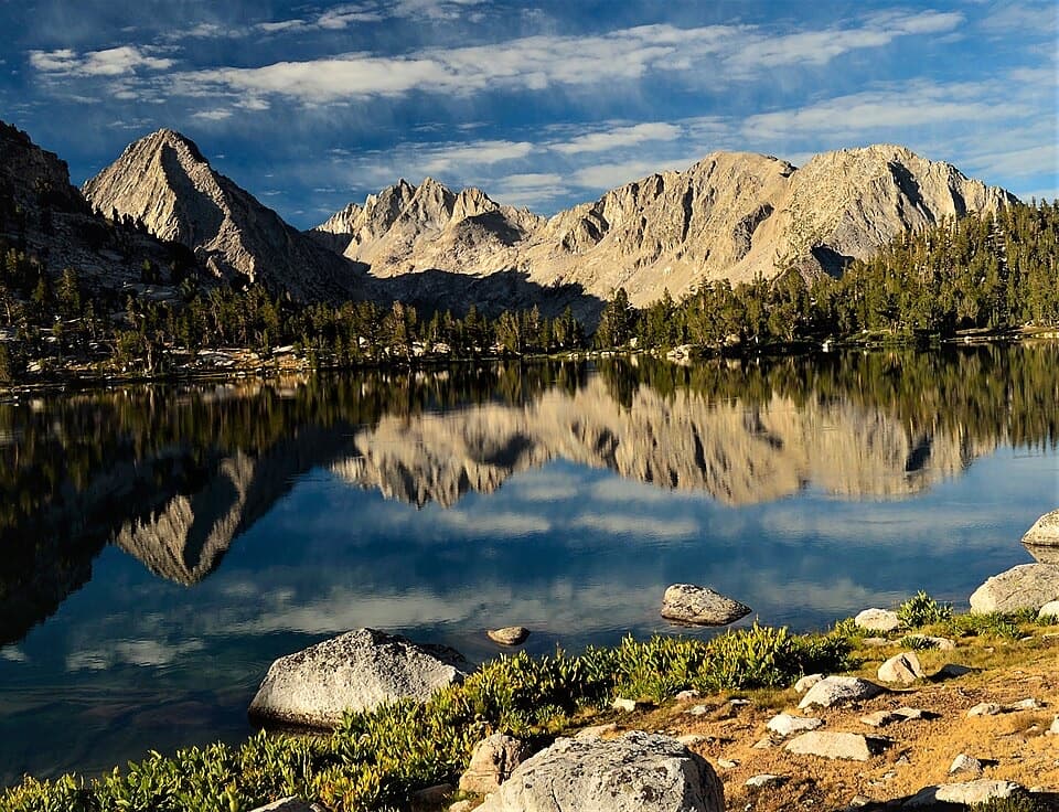 ChallengingBullfrog Lake Trail via Kearsarge Pass13.9 mi · 8.5 hr · 3.3 mi awayCross a high pass for a lake beneath the Videttes.
 ChallengingDragon Lake Trail1.5 mi · 2 hr · 5.1 mi awayA faint, steep spur to a tucked away lake below Dragon Peak.
 ChallengingSixty Lakes Basin Trail6.3 mi · 6.5 hr · 6.9 mi awayA high, rough side trip from Rae Lakes into an alpine basin.
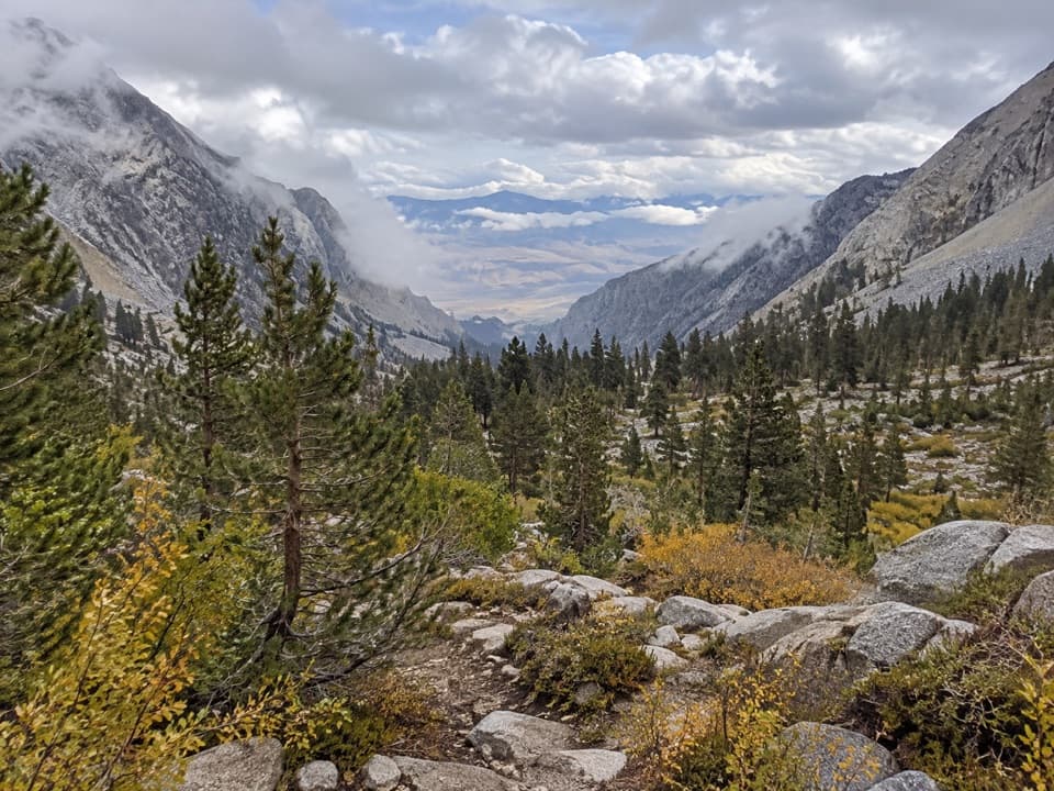 ChallengingBaxter Pass and Baxter Lakes Trail16.5 mi · 14 hr · 8.8 mi awayA rugged climb over Baxter Pass to a remote high-country lake.
 ChallengingColby Pass via Cloud Canyon18.9 mi · 16 hr · 11.7 mi awayA remote divide crossing past Whaleback and Colby Lake.
Parkwolf’s Kings Canyon ranking

The audio tour guide for the drive, plus offline maps, trails, and wildlife heatmaps for when the signal drops.





