Tumbling Creek Campground in Kootenay National Park

Campground · Kootenay National Park

Tumbling Creek Campground

A useful northern camp for a full Rockwall backpacking traverse.

Type
Campground
Nearest trail
6.1 km
  • Restrooms
  • Picnic tables
Parkwolf audio tour49 stories across Kootenay’s roads
Download Parkwolf on the App StoreGet Parkwolf on Google Play

4.7 from 8,600+ ratings

Overview

About Tumbling Creek Campground

Heads up

  • The Paint Pots approach is 10.2 km one way, with 700 m of climbing.

Map

Where it is

Loading the Kootenay map
Full map
CampgroundTumbling Creek Campground51.13958, -116.23570
Keep this map with you offline in the Parkwolf app

Plan your stop

Before you go

3 active Kootenay alerts

  • ClosureSinclair Canyon sidewalk closedThe pedestrian sidewalk from the Lower Juniper Trail parking area to Sinclair Canyon is closed through November 30, 2026, during Highway 93 South construction to ensure visitor safety.Official details
  • ClosureWatercraft and angling closedAll waterbodies in Yoho and Kootenay national parks are closed to watercraft and angling until March 31, 2027, to reduce the spread of aquatic invasive species, including whirling disease.Official details

See all 3 alerts
A park ranger sits on a dash-mounted phone, talking, as Parkwolf’s Tour Guide plays “Army Cutworm Moths: A Grizzly Bear Buffet” on Grand Loop Road below Dunraven Pass in Yellowstone
Parkwolf Tour GuideThe highest, rockiest slopes around here are a summer buffet for grizzly bears.

Kootenay Tour Guide

Your drive to Tumbling Creek Campground, narrated.

Parkwolf is a GPS audio tour guide for Kootenay National Park. As you drive, it chimes in with what’s ahead: hidden gems, upcoming stops, history, geology, and wildlife, right through your car’s speakers.

See the Kootenay audio tour

More stories near here in the app

  • Flowers Climbing a Stem
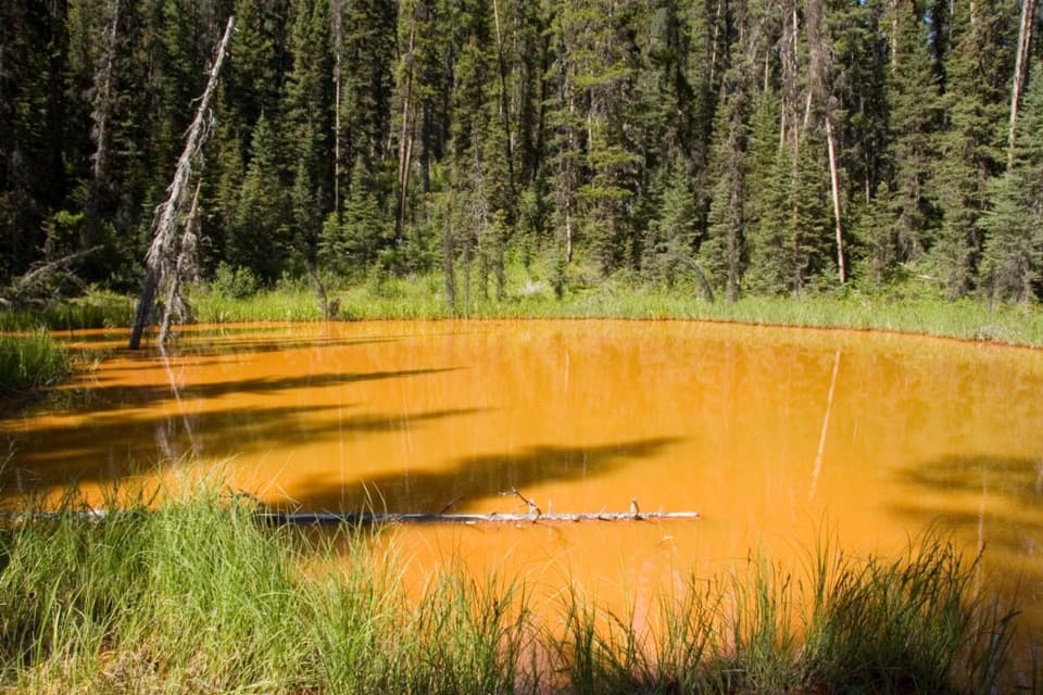
  • Paint Pots: Colour in the Earth
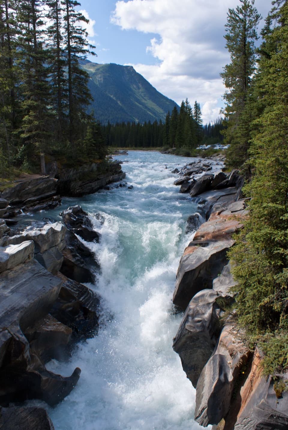
  • Numa Falls: The Sculpted Gorge
  • The Hare’s Seasonal Coat
  • 49 audio storiesacross Kootenay’s roads, triggered by GPS as you drive
  • Wildlife heatmapsfor Grizzly Bear, Gray Wolf, Moose, and 13 more
  • Works offlinemaps, 38 trails, 29 places, and audio download before you lose signal
  • CarPlay readysimple controls built for the drive
★★★★★
“Fantastic app with many points of information… It’s great to just turn on while you’re driving and it gives you an audio tour of the national Park. We love it!!!!”
JMJamesApp Store review
Download Parkwolf on the App StoreGet Parkwolf on Google Play

4.7 from 8,600+ ratings

Guide

More about Tumbling Creek Campground

Backcountry camp on the RockwallTumbling Creek is a designated backcountry campground on Kootenay’s Rockwall route, reached on…

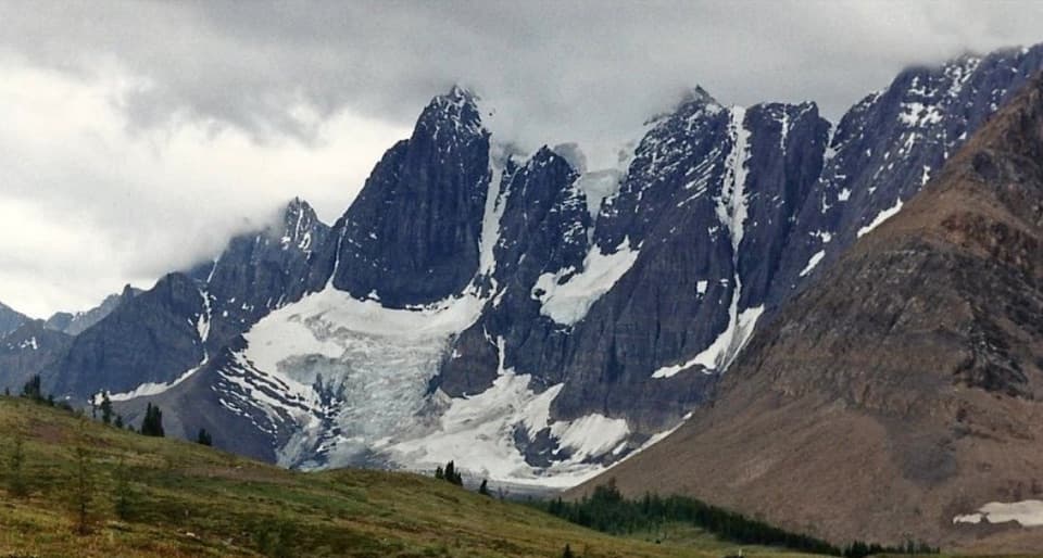
Tumbling Creek is a designated backcountry campground on Kootenay’s Rockwall route, reached on foot from the Paint Pots trailhead. I’d keep it in a multi-day backpacking plan, not a day-hike list: it’s one of the route’s northern camps and access points.

The approachFrom Paint Pots, the Tumbling Creek trail runs 10.

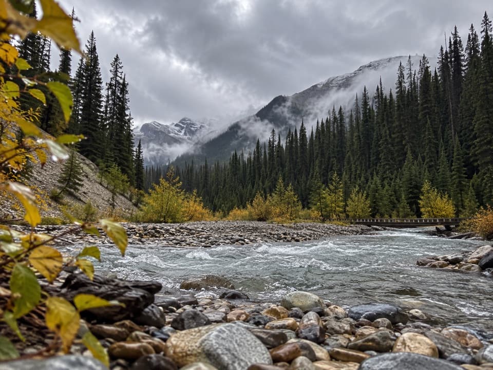
From Paint Pots, the Tumbling Creek trail runs 10.2 km one way, climbing 700 m and descending 245 m. Its first stretch shares the Helmet–Ochre Junction trail. The route passes Tumbling Falls; the falls are along the trail, not at the campground itself. There’s no road access to the camp.

Plan the overnightAn overnight backcountry permit and a park entry pass are required.

An overnight backcountry permit and a park entry pass are required. Advance reservations are necessary for most sites in July, August and September, so check the booking rules for Tumbling Creek when planning. June through October is the main hiking season, but high trails can stay snowbound into late June and snow can fall at elevation even in summer.

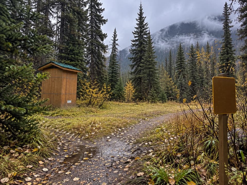
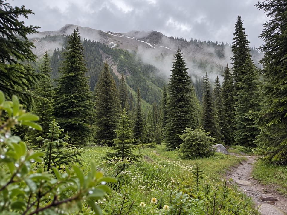
What to expect at campA trip account describes an open, sunny clearing with picnic tables.

A trip account describes an open, sunny clearing with picnic tables. Popular backcountry camps in the park generally have tent pads, outhouses and food-storage facilities, though Tumbling Creek’s exact layout isn’t documented. Bring your own food and a way to treat water; no food service or potable tap was verified, and surface water must be treated before drinking.

Wildlife

Wildlife in Kootenay

All Kootenay wildlife maps

Sighting maps show where each species has been reported across Kootenay. Wildlife moves, so no sighting is guaranteed.

Keep exploring

Near Tumbling Creek Campground

See it all on the map

Trails nearby

More stops nearby

Parkwolf’s Kootenay ranking

Top sights in Kootenay

All 29 places
  1. 1Radium Hot SpringsSight
  2. 2Marble CanyonSight
  3. 3Paint PotsSight
  4. 4Floe LakeSight
  5. 5Numa FallsSight
  6. 6Kootenay Valley ViewpointSight

Take Parkwolf to Kootenay.

The audio tour guide for the drive, plus offline maps, trails, and wildlife heatmaps for when the signal drops.

4.7 from 8,600+ ratings

Download Parkwolf on the App StoreGet Parkwolf on Google Play